Renaissance Maps

RENAISSANCE STYLE

Spanning an era of cultural rebirth in Europe that harkened back to antiquity, the Renaissance was a time of change in design. From the late 1400s to the early 1600s, Rome, Venice and Florence emerged as artistic centers through the expansion of global trade and a humanist belief in the arts being central to society. Antique Renaissance furniture was ornately carved from sturdy woods like walnut, its details standing out against the tapestries and stained glass adorning the walls.

Renaissance chests, which were frequently commissioned for marriages, were often decorated with gilding or painted elements. Those that were known as cassoni were crafted in shapes based on classical sarcophagi. As opposed to the medieval era, when furniture was pared down to the necessities, a wide range of Renaissance chairs, tables and cabinets were created for the home, and the designs regularly referenced ancient Rome.

Large torchères of the Renaissance era that were used as floor lamps were inspired by classical candelabras, while marble surfaces evoked frescoes. The inlaid boxes being imported from the Middle East informed the intarsia technique, which involved varying hues of wood in mosaic-like patterns, such as those by architect Giuliano da Maiano in the Florence Cathedral.

Tapestry-woven cushion covers accented the variety of Renaissance seating — from conversation to study chairs — while bookcases for secular use reflected the migration of culture and knowledge from the church into the home. The aesthetics of the Italian Renaissance later spread to France through the publishing of work by renowned designers, including Hugues Sambin and Jacques Androuet du Cerceau. Centuries later, the 19th-century Renaissance Revival would see a return to this influential style.

Find a collection of antique Renaissance case pieces, decorative objects and other furniture on 1stDibs.

to
1
5
1
6
82
35
19
12
9
6
4
4
4
3
1
1
5
1
6
2
1
1
1
5
1
1
1
6
6
6
1
Style: Renaissance
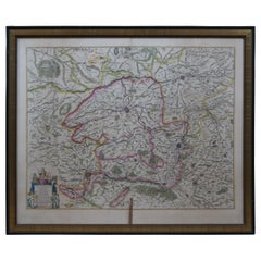
Antique Colored Belgium Map Flandria Gallica Flanders Henricus Hondius
Located in Dayton, OH
Antique hand colored map of Flanders, Belgium, engraved by Henricus Hondius. Sans frame - 21.25” x 18”.
Category

19th Century Antique Renaissance Maps

Materials

Paper

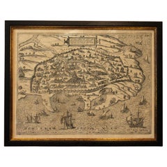
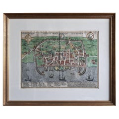
1597 German Map of Alexandria by Georg Braun and Frans Hogenberg
Located in Chapel Hill, NC
1597 Map of Alexandria by Georg Braun and Frans Hogenberg, Germany. From "Civitas Orbis Terrarum", part 2, published in Cologne by Bertram Buchholz. Printed in 2 parts. Title: "Alexa...
Category

16th Century German Antique Renaissance Maps

Materials

Paper

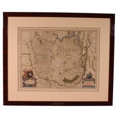
Antique Map Of Brabantia Ducantus By Bleau Circa 1640
Located in Brussels, Brussels
map of theBrabantia Ducantus (Belgium) circa 1640 by Bléau. Bléau was well known for antique atlas that he draw during the 17 century beautiful map, double page folded in the middle,...
Category

17th Century French Antique Renaissance Maps

Materials

Paper

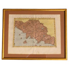
1562 Map of Toscana Nuova Tavola by Girolamo Ruscelli
Located in Chapel Hill, NC
A 1562 map of Toscana Nuova Tavola by Girolamo Ruscelli. Tuscany is the heart of Italy & birthplace of the Italian language. Early hand-coloring. Copper plate engraving. Interestingl...
Category

16th Century Italian Antique Renaissance Maps

Materials

Paper

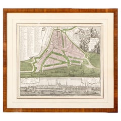
Framed 1731 Color Engraving, Map of Rotterdam by Matthaus Seutter, "Roterodami"
Located in Bridgeport, CT
"Roterodami". Seutter (1678-1757) was an important German 18th century map maker. Bird's eye view of the city above with full details, neoclassi...
Category

18th Century European Antique Renaissance Maps

Materials

Glass, Wood, Paper

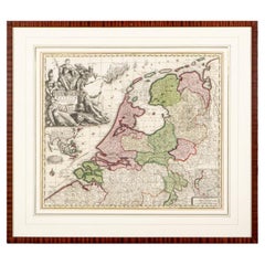
Matthaus Seutter, Framed 1730 Color Engraving Map of "Belgium Fonderatum"
Located in Bridgeport, CT
Label on verso. From Grosser Atlas. The name Belgium comes from the ancient designation "Gallis Belgica". Figural decoration upper left. M. Seutter was a famed German mapmaker in the...
Category

18th Century European Antique Renaissance Maps

Materials

Brass

Related Items
Italian Parchment Map of the City of Pisa Dated, 1640
By Matthäus Merian the Elder
Located in Florence, Tuscany
An antique map of the Tuscan city of Pisa engraved for The 'Itinerarium Italiæ Nov-antiquæ' by Matthäus Merian the Elder and printed in 1640....
Category

1640s Italian Antique Renaissance Maps

Materials

Paper

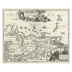
Antique Map of Venezuela by Montanus, 1671
Located in Langweer, NL
Antique map titled 'Venezuela cum parte Australi Novae Andalusiae'. The map extends from Coquibocoa to the Orinoque River, centered on Bariquicemento and Cape de Curiacao. Large cart...
Category

Mid-17th Century English Antique Renaissance Maps

Materials

Paper

Antique Map of Venezuela by Montanus, 1671
H 12.01 in W 14.49 in D 0.02 in
Mexico City by Braun & Hogenberg c. 1590
Located in Stamford, CT
Mexico by Braun & Hogenberg c. 1590
Category

Mid-19th Century European Antique Renaissance Maps

Materials

Glass, Wood, Paper

Mexico City by Braun & Hogenberg c. 1590
H 19 in W 16.5 in D 0.75 in
Antique Map of the Region of Le Mans 'France' by Blaeu, circa 1640
Located in Langweer, NL
Antique Map: Cenomanorum Galliae regionis typus vulgo le Mans – Blaeu, circa 1640 This beautifully engraved and hand-colored map depicts the historical province of Maine in northw...
Category

Mid-17th Century Antique Renaissance Maps

Materials

Paper

Antique Map of the Spice Islands 'Moluccas', Indonesia by W. Blaeu, circa 1640
Located in Langweer, NL
Antique map titled 'Moluccae Insulae Celeberrimae'. Highly decorative antique map of the Spice Islands (Moluccas) published by W. Blaeu (circa 1640). This map features a large inset ...
Category

Mid-17th Century Antique Renaissance Maps

Materials

Paper

Rare 1572 Map of Ancient Rome with Monuments by Ligorio, Braun & Hogenberg
Located in Langweer, NL
Rare 1572 Map of Ancient Rome with Monuments by Ligorio, Braun & Hogenberg This remarkable 16th-century map, *Urbis Romae Situs cum ils quae adhuc Conspiciuntur Veter. Monumet Rel...
Category

16th Century Antique Renaissance Maps

Materials

Paper

Antique Print of Liège / Luik in Belgium by Braun & Hogenberg, 1575
Located in Langweer, NL
Antique print titled 'Leodium'. View of Liège / Luik, Belgium with surrounding hills and the city wall. With text explaining the origins of Liège, a cartouche expressing thanks to th...
Category

16th Century Antique Renaissance Maps

Materials

Paper

Real Toscana Sheep White Fur Rabbit Toy
Located in Sebastopol, CA
Design commissioned by JG SWITZER from a Ukranian plush toy artist, and sewn in our workshop from fluffy fur scraps, LITTLE JG RABBIT is for Bigs AND Littles. Created from our re-purposed, real Toscana...
Category

2010s American Renaissance Maps

Materials

Fur

Antique Map of Germany by Walker, 1820
By R. Walker
Located in Langweer, NL
Antique map Germany titled 'Map of Germany as defined by the Peace of Paris'. Detailed antique map of Germany. Artists and Engravers: Engrav...
Category

19th Century Antique Renaissance Maps

Materials

Paper

Antique Map of Germany by Walker, 1820
H 8.27 in W 10.24 in D 0 in
Silver Leaf Foil Wall World Map Engraving Based on the Original Moses Pitt, 1681
Located in West Sussex, Pulborough
We are delighted to offer for sale this lovely antique style pictorial silver leaf foil world map taken from and original engraving my Moses Pitt, 1681 This is a very interesting ...
Category

20th Century English Renaissance Maps

Materials

Silver Leaf

Palermo – 1620 Braun & Hogenberg Bird’s-Eye Map of Palermo, Sicily
Located in Langweer, NL
Palermo – 1620 Braun & Hogenberg Bird’s-Eye Map of Palermo, Sicily This beautifully detailed bird’s-eye view of Palermo, Sicily, was created by Georg Braun and Frans Hogenberg aro...
Category

1620s Antique Renaissance Maps

Materials

Paper

Bird's-Eye View of Blâmont in Lorraine by Braun and Hogenberg, 1597
Located in Langweer, NL
Title: Bird's-Eye View of Blâmont in Lorraine by Braun and Hogenberg, 1597 This copperplate engraving, published in 1597 by Braun and Hogenberg, depicts a bird's-eye view of the t...
Category

16th Century Antique Renaissance Maps

Materials

Paper

Previously Available Items
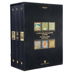
La Galleria Delle Carte Geografiche in Vaticano, Maps in the Vatican, 3 Vols
By Fra Egnazio Danti
Located in Morristown, NJ
La Galleria delle Carte geografiche in Vaticano / The Gallery of Maps in the Vatican, Mirabilia Italiae / Franco Cosimo Panini, (3) vols. in black silk cloth, slipcase with golden ti...
Category

1990s Italian Renaissance Maps

Materials

Linen, Paper

Large-Scale Map of the World After Mercator, 1569, 20th Century Printing
Located in West Palm Beach, FL
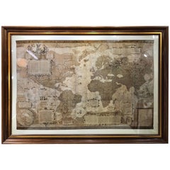
Large-scale map of the world after Mercator, 1569, 20th century printing, in 2.5 deep walnut and gilt frame. This item is at our Atlanta GA, Location, not Pa...
Category

Late 20th Century Renaissance Maps

Materials

Plexiglass, Walnut, Paper

Hand-Colored 18th Century Printing of Jacopo De Barbari's Map of Venice
Located in Hudson, NY
This lively and colorfully engraving of Venice is hand water colored. This printing is a late 18th century version newly framed with exposed margins show...
Category

Late 18th Century Italian Antique Renaissance Maps

Renaissance maps for sale on 1stDibs.

Find a broad range of unique Renaissance maps for sale on 1stDibs. Many of these items were first offered in the 21st Century and Contemporary, but contemporary artisans have continued to produce works inspired by this style. If you’re looking to add vintage maps created in this style to your space, the works available on 1stDibs include more furniture and collectibles, wall decorations and other home furnishings, frequently crafted with paper, wood and other materials. If you’re shopping for used Renaissance maps made in a specific country, there are Europe, and Portugal pieces for sale on 1stDibs. It’s true that these talented designers have at times inspired knockoffs, but our experienced specialists have partnered with only top vetted sellers to offer authentic pieces that come with a buyer protection guarantee. Prices for maps differ depending upon multiple factors, including designer, materials, construction methods, condition and provenance. On 1stDibs, the price for these items starts at $350 and tops out at $4,450 while the average work can sell for $1,650.

Recently Viewed

View All