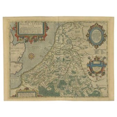
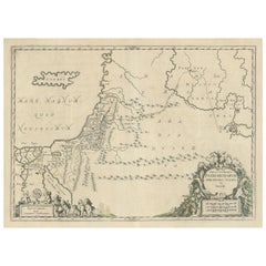
"Terra Sancta" Map of the Holy Land by Abraham Ortelius (1527-1598) Framed
View Similar Items
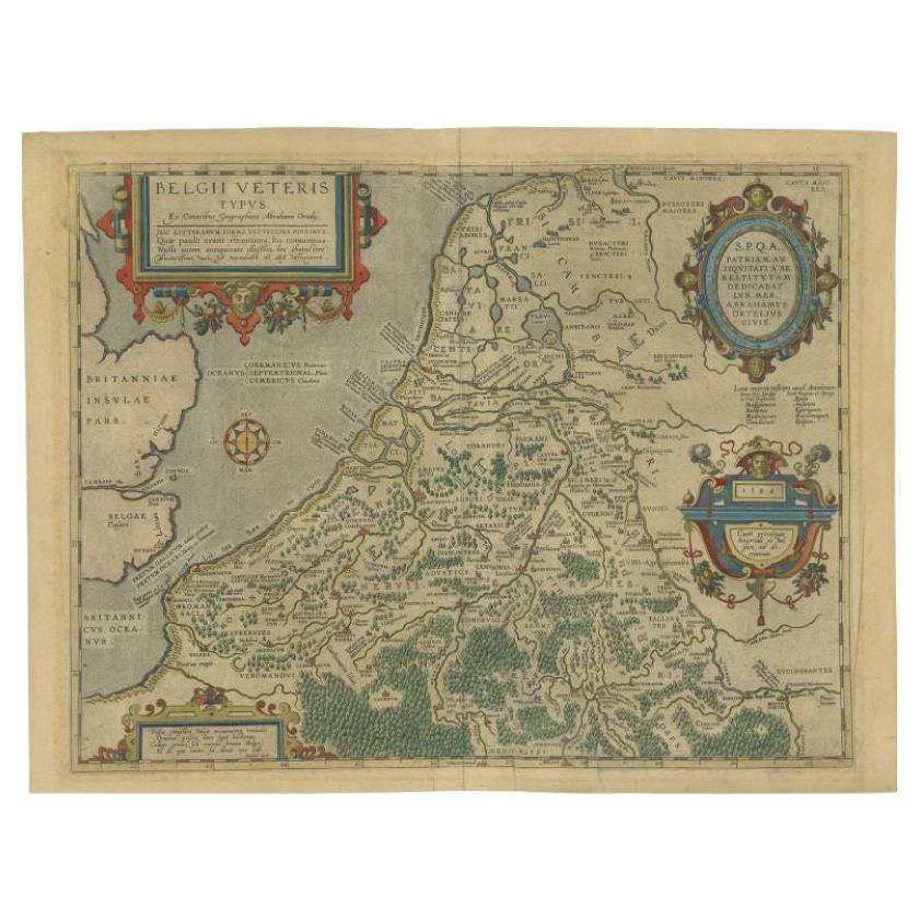

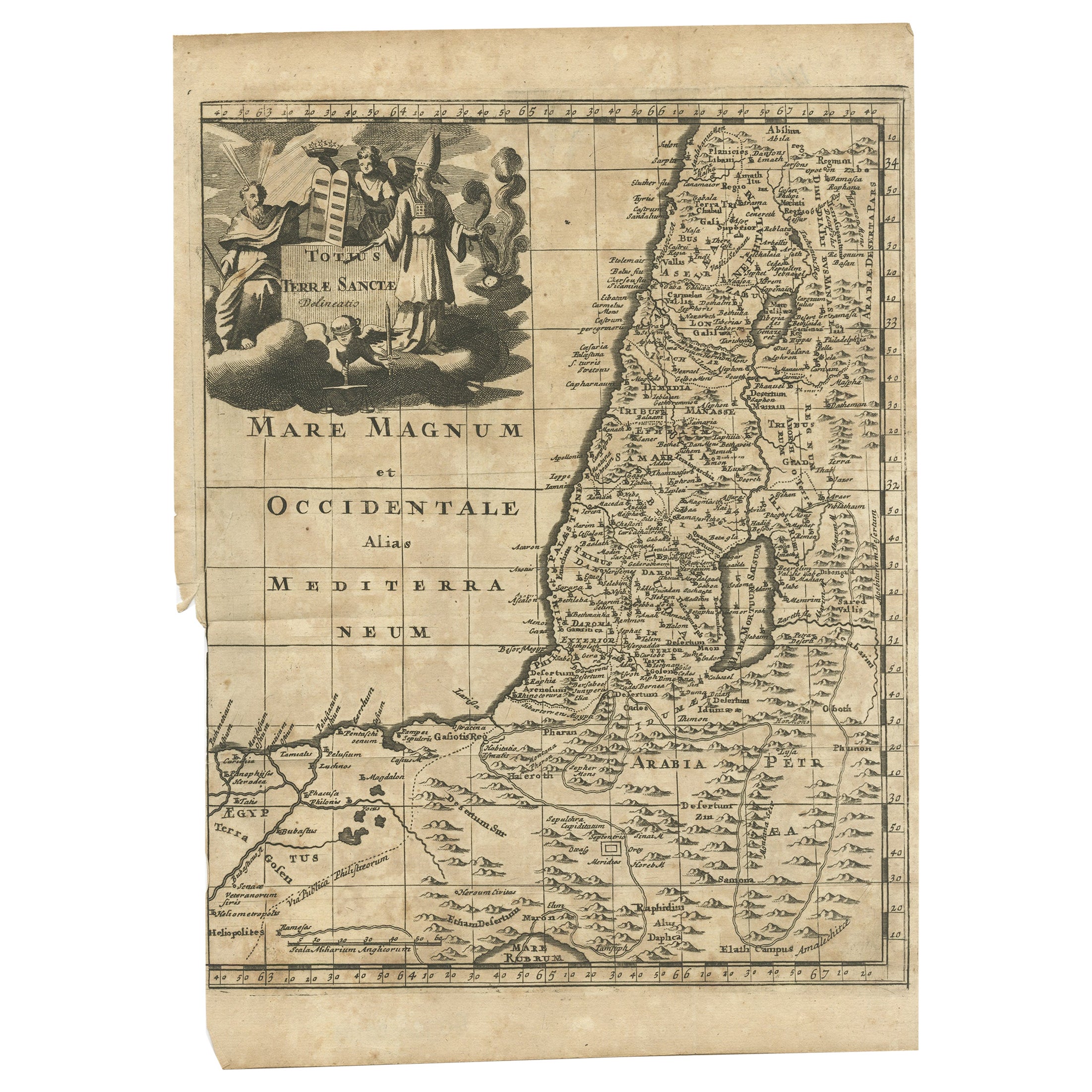


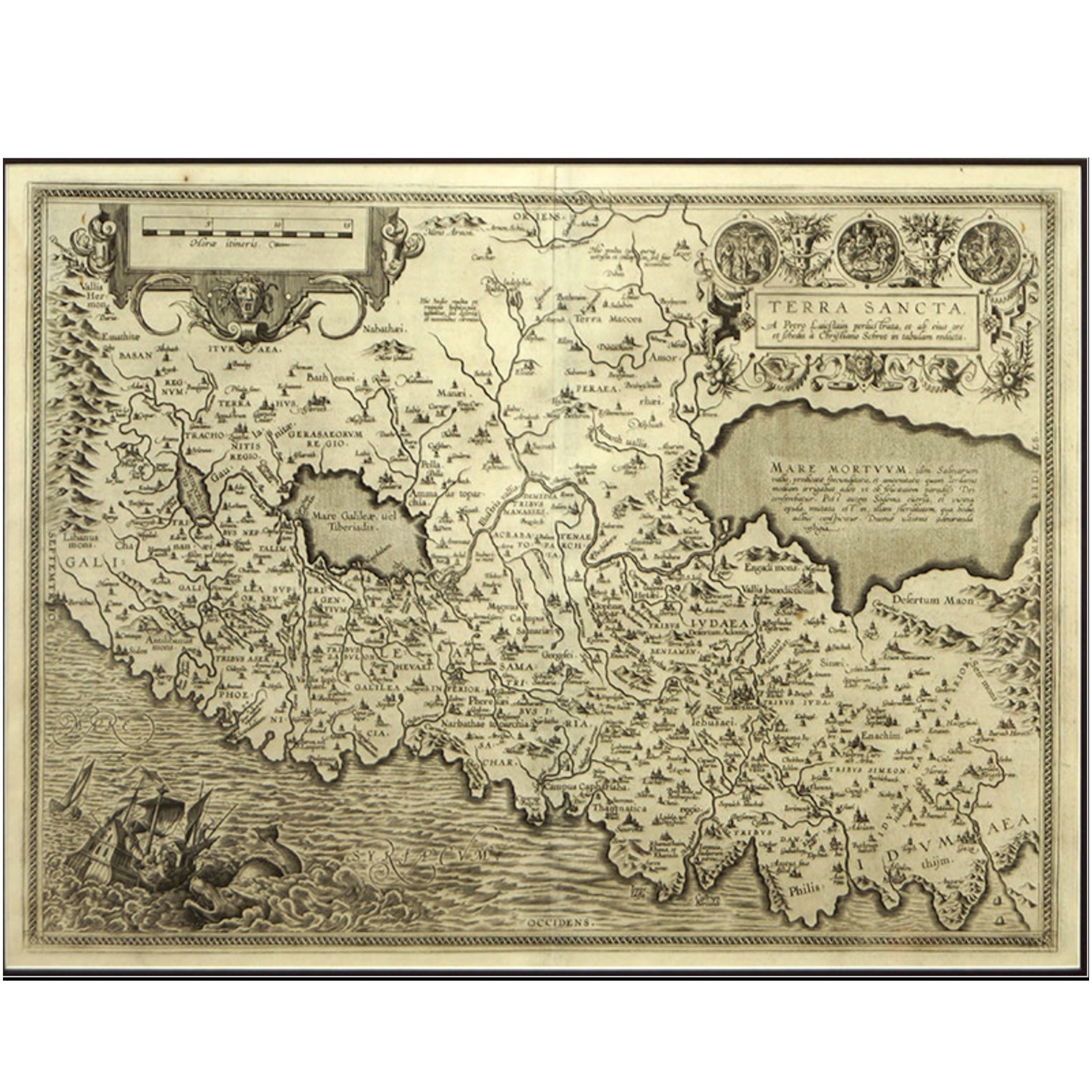
"Terra Sancta" Map of the Holy Land by Abraham Ortelius (1527-1598) Framed
About the Item
- Creator:Abraham Ortelius (Maker)
- Dimensions:Height: 21 in (53.34 cm)Width: 25 in (63.5 cm)Depth: 1 in (2.54 cm)
- Style:Baroque (Of the Period)
- Materials and Techniques:
- Place of Origin:
- Period:
- Date of Manufacture:Circa 1700
- Condition:Wear consistent with age and use. Minor structural damages. Small tear lower left of map visible in picture.
- Seller Location:San Francisco, CA
- Reference Number:Seller: C424-26A1stDibs: LU855243486112
Abraham Ortelius
Abraham Ortelius is widely recognized as the inventor of the atlas and one of the most prominent geographers in history. He is one of the best known and most frequently collected of all sixteenth-century mapmakers, and today, hand-colored, copperplate-printed Abraham Ortelius maps continue to command avid interest.
Ortelius was the eldest of the three children of an Antwerp merchant. After his father's death when he was ten, he was raised by his uncle Jacob Van Meteren — a financier and printer of early English versions of the Bible. Ortelius entered the Guild of Saint Luke in 1547 to become a map copier and colorist, but his hobbies overshadowed his studies.
Ortelius was better known as a student of history and a collector of books and old coins than a cartographer — only initially garnering modest praise for his skills at mapmaking. Gleaning what he learned from his uncle, he became a dealer in books and prints. In 1554 he attended the annual Frankfurt Book Fair, where he met the highly respected cartographer Gerardus Mercator.
Ortelius refocused his work in mapmaking after that fateful encounter. He eventually published Theatrum Orbis Terrarum (Theater of the World) — a comprehensive collection of maps that he bound into a book. It was the first of its kind and is now recognized as the first modern-day atlas. While creating his atlas, Ortelius observed that the coast of America shared geometrical similarities with the shores of Europe and Africa. When he lined up maps of the coastlines of the continents, they matched — much like pieces in a jigsaw puzzle.
Some have argued that the concept of continental drift is at least partly rooted in Ortelius’s 16th-century-era suggestion that the continents had once been joined together as a single mass of land before the Americas were pulled away from Europe and Africa. Much later, in 1912, German meteorologist Alfred Wegener proposed in a lecture and an article that the continents had once been locked together based on data he collected. Wegener was widely ridiculed at the time, but the foundation of modern-day science of plate tectonics has its origins in his work.
On May 18, 2008, a Google Doodle celebrated the 300th anniversary of Ortelius’s atlas.
On 1stDibs, find original Abraham Ortelius prints, landscape prints and more.
More From This Seller
View AllVintage 1950s American Books
Fabric, Paper
Early 20th Century English Books
Paper
Vintage 1950s North American Books
Leather, Paper
Early 20th Century American Books
Paper
Antique Mid-19th Century Books
Leather, Paper
Antique Mid-19th Century American Maps
Paper

You May Also Like
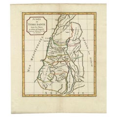
Antique 16th Century Maps
Paper
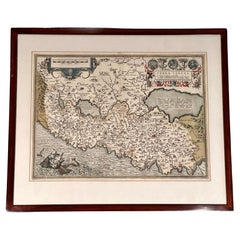
Antique Mid-17th Century Maps
Paper
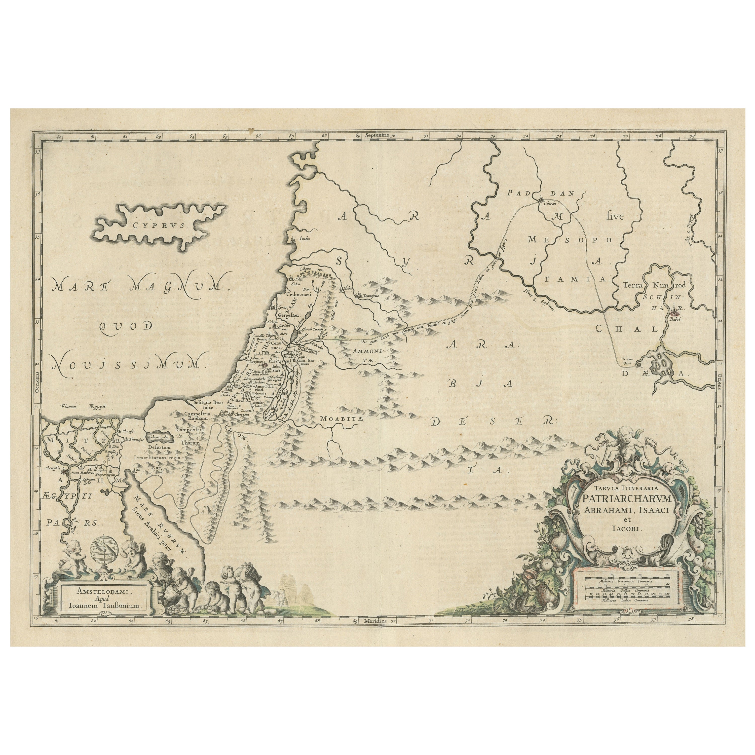
Antique 18th Century Maps
Paper

Antique 18th Century Maps
Paper
Antique Early 18th Century Maps
Paper
Antique 19th Century Maps
Paper