Items Similar to Antique Map of the Holy Land, showing the travels of Abraham, Isaac and Jacob

Want more images or videos?
Request additional images or videos from the seller
1 of 6
Antique Map of the Holy Land, showing the travels of Abraham, Isaac and Jacob
About the Item
Antique map titled 'Tabula Itineraria Patriarcharum Abrahami, Isaaci et Iacobi'. Decorative regional map of the Holy Land, showing the travels of Abraham, Isaac and Jacob. Published by J. Janssonius, circa 1652.
Jan Janssonius (also known as Johann or Jan Jansson or Janszoon) (1588-1664) was a renowned geographer and publisher of the seventeenth century, when the Dutch dominated map publishing in Europe. Born in Arnhem, Jan was first exposed to the trade via his father, who was also a bookseller and publisher. In 1612, Jan married the daughter of Jodocus Hondius, who was also a prominent mapmaker and seller. Jonssonius’ first maps date from 1616.
In the 1630s, Janssonius worked with his brother-in-law, Henricus Hondius. Their most successful venture was to reissue the Mercator-Hondius atlas. Jodocus Hondius had acquired the plates to the Mercator atlas, first published in 1595, and added 36 additional maps. After Hondius died in 1612, Henricus took over publication; Janssonius joined the venture in 1633. Eventually, the atlas was renamed the Atlas Novus and then the Atlas Major, by which time it had expanded to eleven volumes. Janssonius is also well known for his volume of English county maps, published in 1646.
- Dimensions:Height: 20.2 in (51.3 cm)Width: 23.9 in (60.7 cm)Depth: 0.02 in (0.5 mm)
- Materials and Techniques:
- Period:Mid-17th Century
- Date of Manufacture:c.1652
- Condition:Repaired: Repair on folding line. Age-related toning. Shows wear and soiling. French text on verso. Please study image carefully.
- Seller Location:Langweer, NL
- Reference Number:Seller: BG-13449-111stDibs: LU3054336226942
About the Seller
5.0
Platinum Seller
These expertly vetted sellers are 1stDibs' most experienced sellers and are rated highest by our customers.
Established in 2009
1stDibs seller since 2017
1,919 sales on 1stDibs
Typical response time: <1 hour
- ShippingRetrieving quote...Ships From: Langweer, Netherlands
- Return PolicyA return for this item may be initiated within 14 days of delivery.
Auctions on 1stDibs
Our timed auctions are an opportunity to bid on extraordinary design. We do not charge a Buyer's Premium and shipping is facilitated by 1stDibs and/or the seller. Plus, all auction purchases are covered by our comprehensive Buyer Protection. Learn More
More From This SellerView All
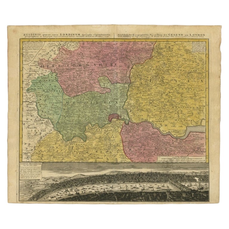
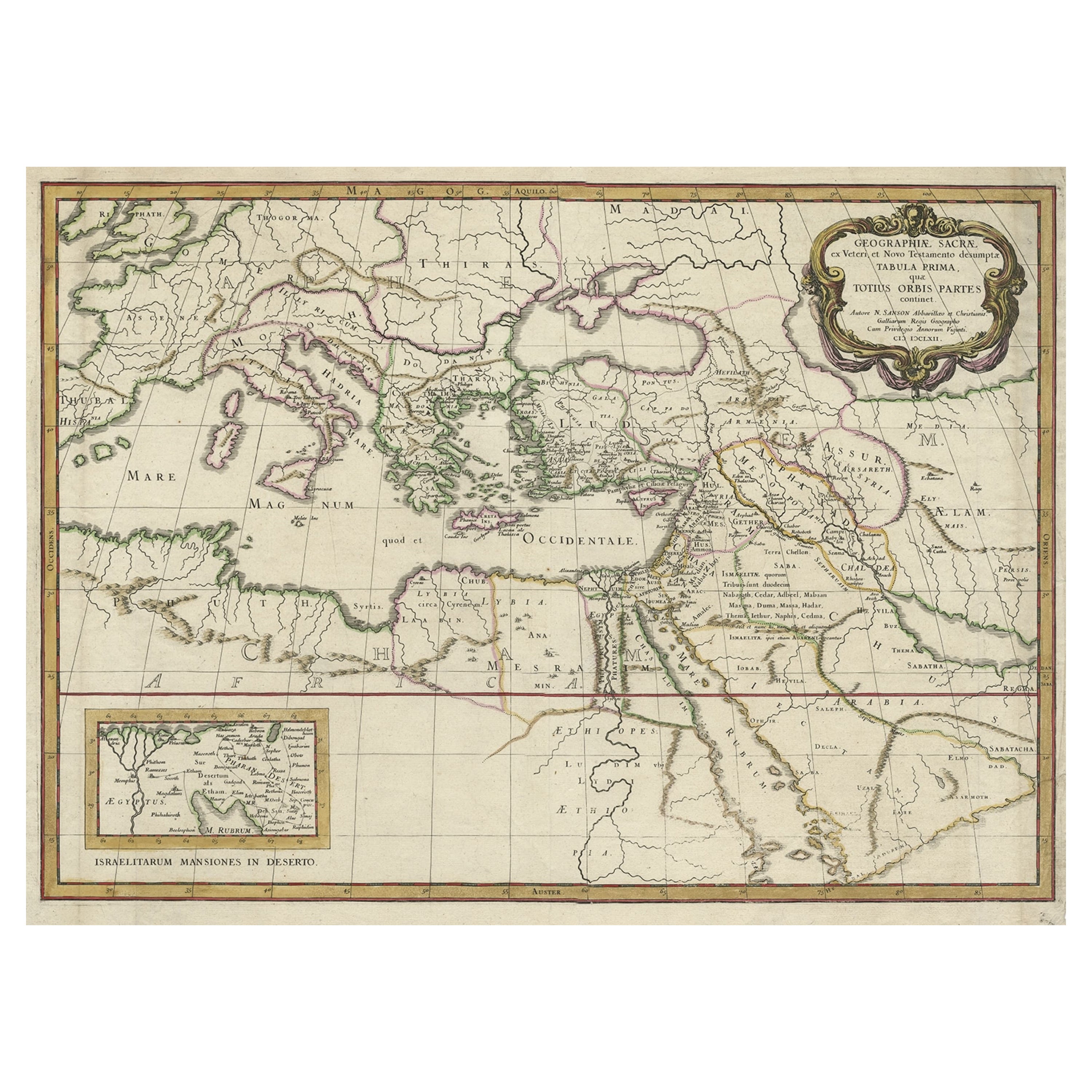
- Detailed Map of the Holy Land, Showing the Travels of Christ & Apostles, ca.1650Located in Langweer, NLAntique map titled 'Het Beloofde Landt Canaan door wandelt van onsen Salichmaeker Jesu Christo neffens syne Apostelen.' Detailed map of the Holy Land, showing the travels of Christ and the Apostles, including Paul's travel's at sea and numerous sailing vessels. Below bible scenes such as the nativity and crucifiction of Christ. An excellent example of a Duch Bible map...Category
Antique 1650s Maps
MaterialsPaper
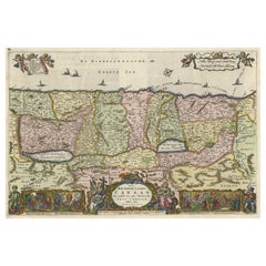
- Antique Map of the Holy Land, Showing the Location of the Various TribesLocated in Langweer, NLAntique map titled 'Judaea seu Terra Sancta quae Hebraeorum sive Israelitarum (..)'. Map of The Holy Land, showing the location of the various tribes, in two kingdoms, Judah and Isra...Category
Antique Early 18th Century Maps
MaterialsPaper
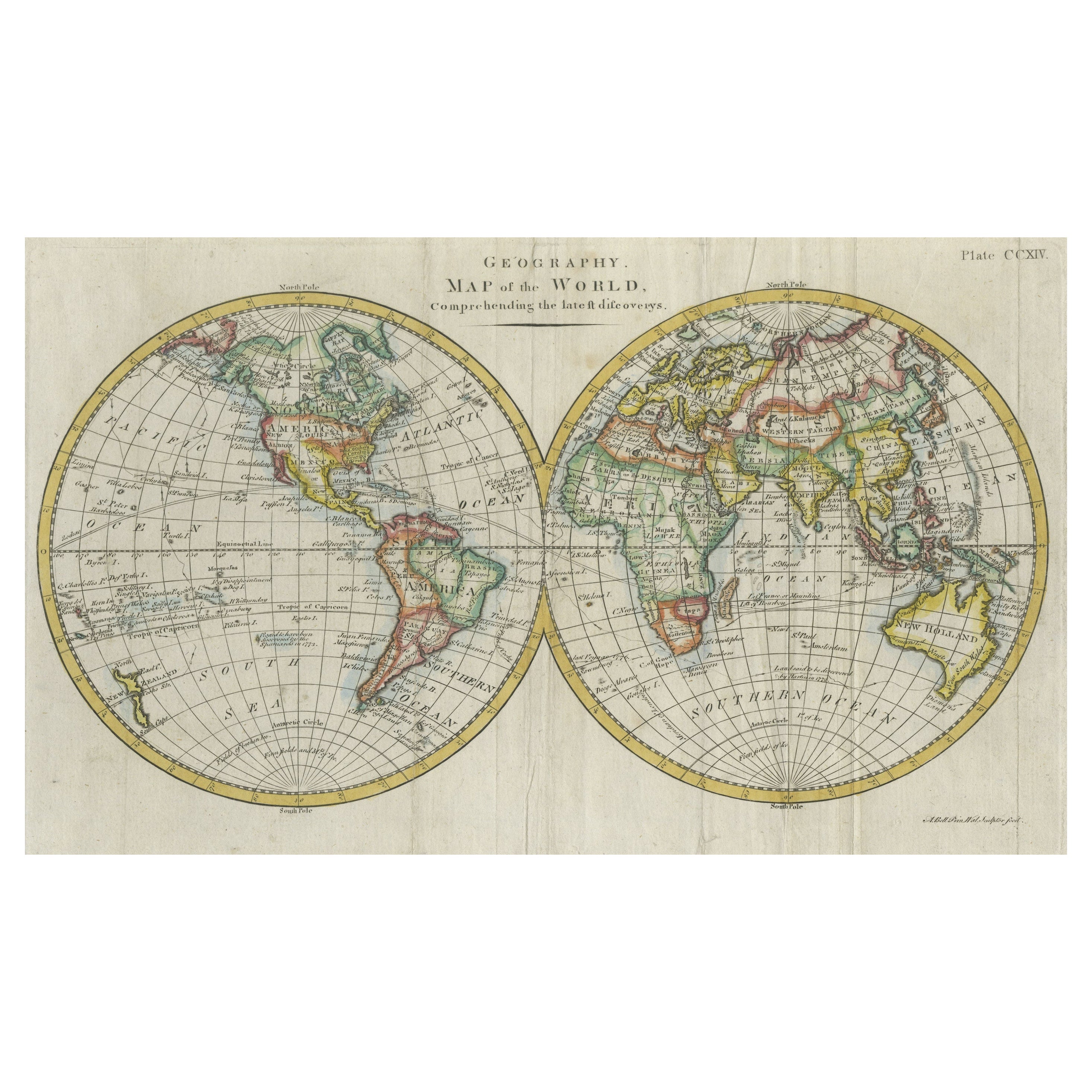
- Antique Map of the Holy Land, c.1717Located in Langweer, NLAntique map Israel titled 'Tabula Geographica Terrae Sanctae'. Rare edition made after a map of the Holy Land by J. Bonfrerius. The map is oriented ...Category
Antique 18th Century Maps
MaterialsPaper
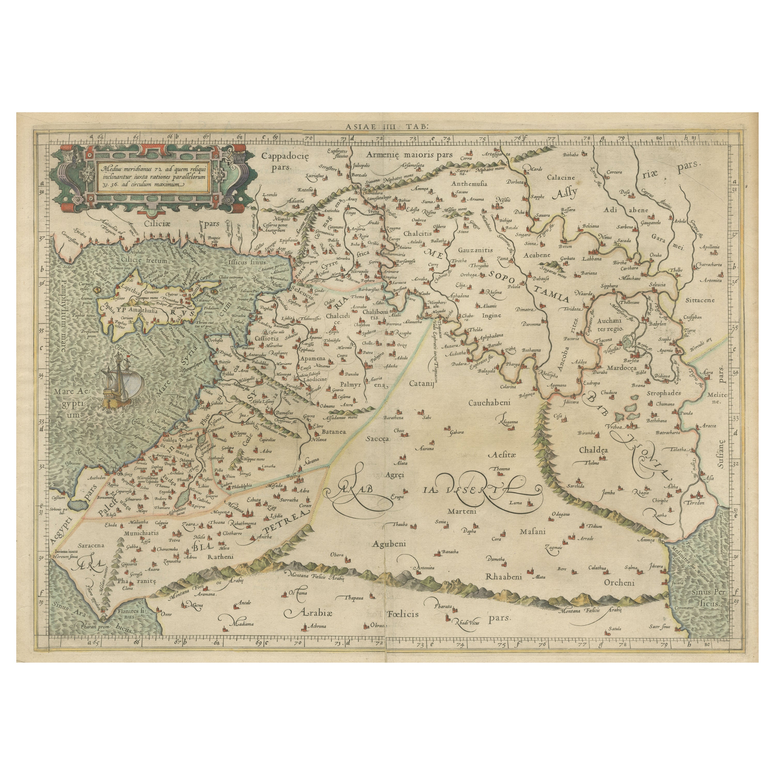
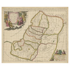
- Antique Map of the Holy Land, c.1710Located in Langweer, NLAntique map titled 'Totius Terrae Sanctae Delineatio'. Map of the Holy Land extending to Egypt and showing the route of the Children of Israel in their e...Category
Antique 18th Century Maps
MaterialsPaper
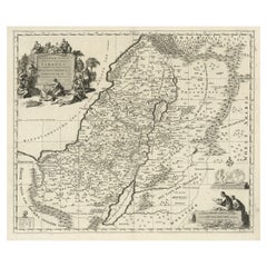
- Highly Detailed Antique Map of the Holy Land Showing 12 Tribes of Israel, c.1720Located in Langweer, NLAntique map titled 'Heylige Land verdeeld in de Twaalf Stammen Israels (..).' Highly detailed map of the Holy Land divided into 12 tribes of Israel...Category
Antique 1720s Maps
MaterialsPaper
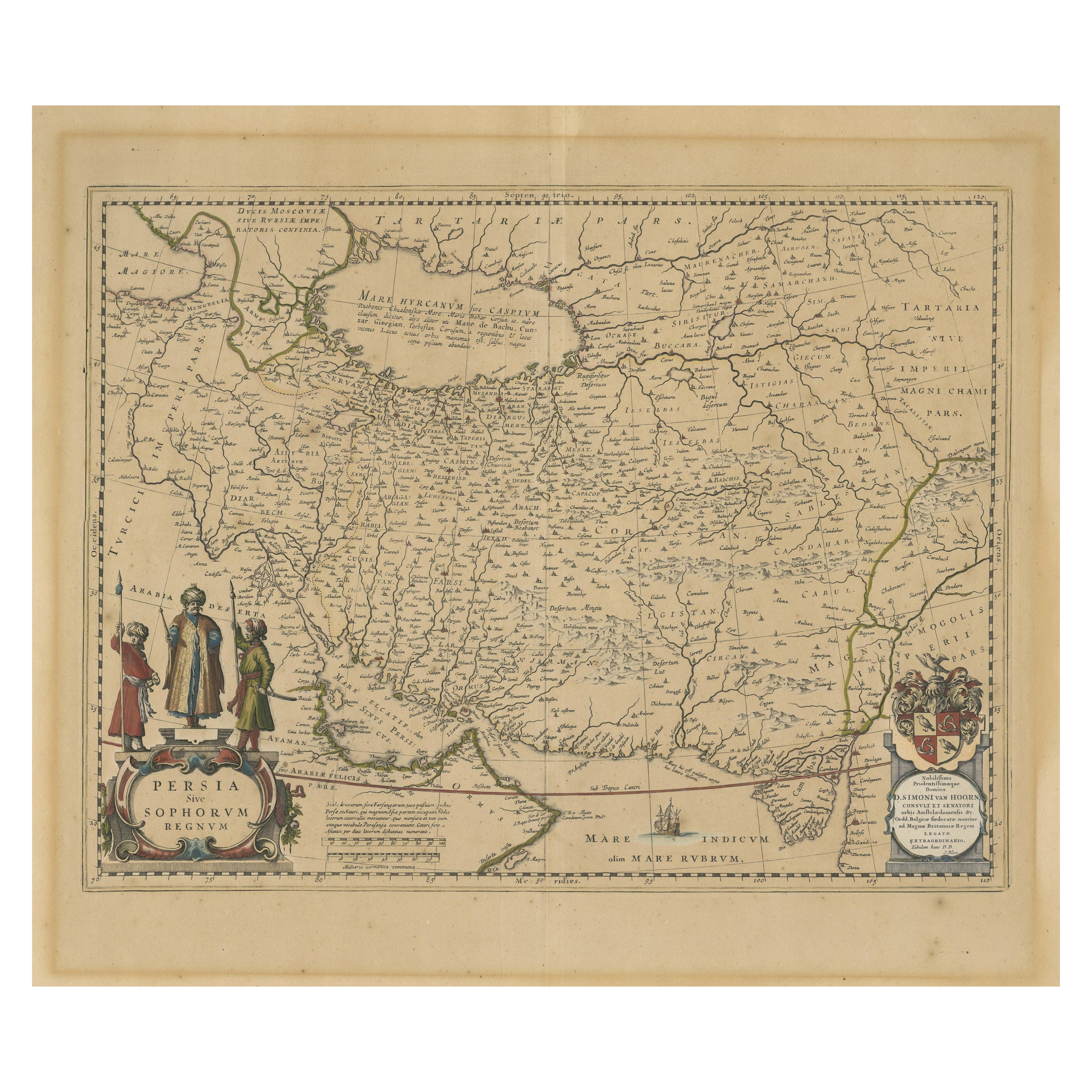
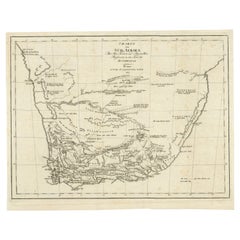
- Antique Map of South Africa showing the Travels of Truter and SomervilleLocated in Langweer, NLAntique map titled 'Charte von Süd-Afrika'. Original antique map of South Africa showing the travels of Truter and Somerville. Published ci...Category
Antique Early 19th Century Maps
MaterialsPaper


You May Also Like
- The Holy Land at the Time of Jesus: A 17th Century Dutch Map by VisscherBy Nicolaes Visscher IILocated in Alamo, CAThis detailed Dutch map entitled "Het Beloofe de Landt Canaan door wandelt van onsen Salichmaecker Iesu Christo, nessens syne Apostelen" by Nicolaes Visscher was published in Amsterd...Category
Antique Mid-17th Century Dutch Maps
MaterialsPaper
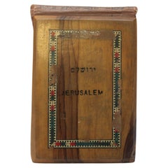
- Flowers from The Holy Land souvenir bookLocated in East Geelong, VICContained within the olive wood covers of this Flowers from The Holy Land souvenir book are 11 thick cardboard pages, 10 of which have pressed flowers arranged on them. The flowers a...Category
Antique 1890s Israeli Books
MaterialsPaper
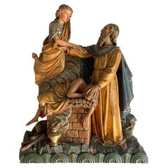
- Antique Religious Church Sculpture / Carving of Abraham Offering Isaac w. AngelLocated in Lisse, NLVery rare 'biblical carving' depicting Abraham, Isaac and the angel. Because of the rarity, the importance and the deeper meaning of this incredibly well carved wooden church sculpture, we were immediately sold when we first saw it. This offering of Isaac by Abraham sculpture is the only one of its kind that we have ever seen and with the great many details this clearly is the work of a master carver. This incredibly detailed sculpture had to first be drawn on paper and then it must have taken the sculptor weeks rather than days to fully hand-carve it. It is highly likely that the polychrome painting of this church relic was done by yet another specialized artisan and the 'finished product' is among the best we have ever seen. With this being one of the most important and best known biblical stories in Western / Christian civilization, we are certain that this rare collectible will again be gracing a house of prayer or a private collection soon. Even with the lower fragment of the angel's body and some other details missing (such as the blade of the sword Abraham is holding) this one of a kind antique is great value for money. There are so many (symbolic) details and this composition is so well balanced that this piece will never fail to impress. Have you also noticed the 'lamb of god' tucked away in the lower left corner, behind the logs of wood? The artist clearly used every inch of this wood carving to create the richest sculpture anyone could ask for. As you can see in our photos, this church relic can both be used on the wall (via a strong metal hook on the back) or free standing on a table. If antique religious...Category
Antique 19th Century European Renaissance Revival Religious Items
MaterialsWood, Paint
- Map of the Holy Land "Carte de la Syrie et de l'Egypte" by Pierre M. LapieBy Pierre M. LapieLocated in Alamo, CAAn early 19th century map of ancient Syria and Egypt entitled "Carte de la Syrie et de l'Egypte anciennes/dressée par M. Lapie, Colonel d'Etat Major, et...Category
Antique Early 19th Century French Maps
MaterialsPaper
- Map Holy Promise Land Canaan Richard Palmer Richard Blome 1687 Joseph MoxonLocated in BUNGAY, SUFFOLKCanaan comonly called the Holy Land or the Land of Promise, being the Possesion of the Israelites & travelled through by Our Lord & Saviour Iesus Christ and his Apostles. Engraven by Richard Palmer for Richard Blome. 1687 Blome, Richard, 1641-1705. London. 283 x 452 mm. Copperplate. Probably from an English Bible...Category
Antique 17th Century British Baroque Maps
MaterialsPaper
- 19th Century Holy Land Mother-of-Pearl IconLocated in London, GBThis fantastic mother-of-pearl icon was made in Jerusalem at the end of the 19th century, and is beautifully carved with mother-of-pearl and set with abalon...Category
Antique Late 19th Century Israeli Religious Items
MaterialsMother-of-Pearl


Recently Viewed
View AllMore Ways To Browse
Antique Map Of Sri Lanka
Globes Antique Terrestre
Antique Map New Orleans
Antique Maps Of New Orleans
Antique Maps Yorkshire
Shetland Map
Antique Map Iceland
Antique Map Of Iceland
Iraq Map
Taiwan Antique Map
Antique Illinois Map
Cuban Map
Map Of Cuba
Vietnam Map
Kansas Map
Map Of Puerto Rico
Nova Scotia Map
Bahamas Map