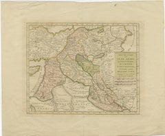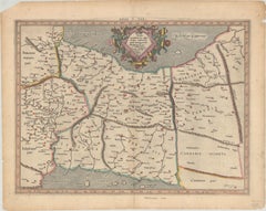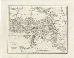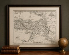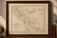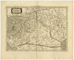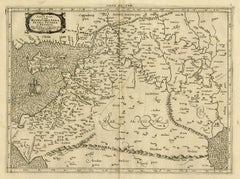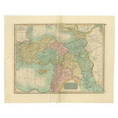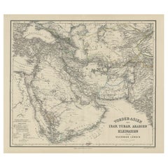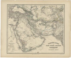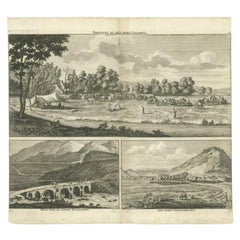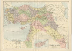
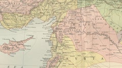
Antique Map Turkey in Asia, Ottoman Empire Anatolia Syria Iraq Black, 1884
$372
H 17.84 in W 24.1 in D 0.02 in
Antique Map Turkey in Asia, Ottoman Empire Anatolia Syria Iraq Black, 1884
Located in Langweer, NL
Antique Map Turkey in Asia, Ottoman Empire Anatolia Syria Iraq Black 1884 This detailed and beautifully engraved antique map titled Turkey in Asia was published in the New and Revis...
Category
Antique Late 19th Century Scottish Maps
Materials
Paper