Items Similar to America "Amérique Septentrionale": A 19th Century French Map by Delamarche


Want more images or videos?
Request additional images or videos from the seller
1 of 6
America "Amérique Septentrionale": A 19th Century French Map by Delamarche
$975
£745.44
€858.60
CA$1,366.27
A$1,525.32
CHF 799.24
MX$18,671.37
NOK 10,150.39
SEK 9,570.53
DKK 6,407.79
About the Item
This framed mid 19th century map of North America entitled "Amérique Septentrionale" by Felix Delamarche was published in Paris in 1854 by Quay de l'Horloge du Palais, avec les Cartes de Guill. Delisle et de Phil. Buache.
The map includes Central America (labelled Guatimala), portions of Columbia in South America and portions of Greenland, as well as Cuba, Haiti and Santa Dominique (The Dominican Republic). Modern day Alaska is labelled Russie Americaine. Many of the areas in the midwest and west of the United States are named for the Native American tribes that live in the region, rather than their eventual English names. These territories in modern day Colorado, Arizona, New Mexico, Texas, Washington and Oregon include: Les Osage, Les Sioux, Les Mandanes, Les Chactas, Chipeouays, Les Serpens. California and the southwestern states are still part of Mexico at the time this map was published.
The map, which is colored in outline, is presented in a light brown distressed bleached wood frame with a cream-colored mat. The frame measures 22.63" wide x 20" high x 0.88" deep. There are two other 19th century maps of North America (the United States and one including Mexico) listed on 1stdibs that are presented in identical style frames and mats. They can be seen by entering their reference #'s (LULU5206221574182 or LULU5206221506302) in the search field. These would make an interesting and attractive grouping. A discount is available for purchase of a grouping of two or three of these maps.
There is a central vertical fold, as issued. The map is somewhat toned, although the appearance appears in part to be related to its tinting. There is some faint spotting, most prominently in the left lower portions of the map. It is otherwise in very good condition.
Félix Delamarche was a French geographer and engineer who flourished during the 18th century and early 19th century.[1][2] His father was the map publisher Charles Francois Delamarche.
Félix Delamarche became the owner of his father's map publishing company, Maison Delamarche. He ran the company alongside cartographer Charles Dien. The firm would eventually be passed down to Alexandre Delamarche.[1] Delamarche created Atlas de la géographie ancienne et moderne in 1820. The atlas was reprinted during the 19th century. It was utilized by the Ecole Spéciale Militaire de Saint-Cyr. His work is held in the collection of the Library of Congress.[3]
- Creator:Maison Delamarche 1 (Artist)
- Dimensions:Height: 20 in (50.8 cm)Width: 22.63 in (57.49 cm)Depth: 0.88 in (2.24 cm)
- Style:Other (Of the Period)
- Materials and Techniques:Paper,Engraved
- Place of Origin:
- Period:
- Date of Manufacture:1854
- Condition:Wear consistent with age and use.
- Seller Location:Alamo, CA
- Reference Number:Seller: # 33131stDibs: LU5206222080792
About the Seller
5.0
Vetted Professional Seller
Every seller passes strict standards for authenticity and reliability
1stDibs seller since 2020
15 sales on 1stDibs
- ShippingRetrieving quote...Shipping from: Alamo, CA
- Return Policy
Authenticity Guarantee
In the unlikely event there’s an issue with an item’s authenticity, contact us within 1 year for a full refund. DetailsMoney-Back Guarantee
If your item is not as described, is damaged in transit, or does not arrive, contact us within 7 days for a full refund. Details24-Hour Cancellation
You have a 24-hour grace period in which to reconsider your purchase, with no questions asked.Vetted Professional Sellers
Our world-class sellers must adhere to strict standards for service and quality, maintaining the integrity of our listings.Price-Match Guarantee
If you find that a seller listed the same item for a lower price elsewhere, we’ll match it.Trusted Global Delivery
Our best-in-class carrier network provides specialized shipping options worldwide, including custom delivery.More From This Seller
View AllCalifornia, Alaska and Mexico: 18th Century Hand-Colored Map by de Vaugondy
By Didier Robert de Vaugondy
Located in Alamo, CA
This is an 18th century hand-colored map of the western portions of North America entitled "Carte de la Californie et des Pays Nord-Ouest separés de l'Asie par le détroit d'Anian, ex...
Category
Antique 1770s French Maps
Materials
Paper

North & South America: A 17th Century Hand-colored Map by Jansson & Goos
By Johannes Janssonius
Located in Alamo, CA
A 17th century hand-colored map of North & South America entitled "Americae Descriptio" by the cartographer Johannes Jansson, published in Jansson's Atlas Minor in Amsterdam in 1628....
Category
Antique 1620s Dutch Maps
Materials
Paper

South America: Hand-colored 18th Century Framed Map by Thomas Jefferys
By Thomas Jefferys
Located in Alamo, CA
This detailed hand-colored map of South America by Thomas Jefferys was published in London in 1750. The map shows countries, early colonial possessions, towns, rivers, mountains, and...
Category
Antique Mid-18th Century English Maps
Materials
Paper

Italy, Sicily, Sardinia, Corsica and Dalmatian Coast: A 17th Century Dutch Map
By Theodorus Danckerts
Located in Alamo, CA
This hand colored 17th century Dutch map entitled "Novissima et Accuratissima totius Italiae Corsicae et Sardiniae Descriptio" by Theodore Danckerts depicts the Italian Peninsula in ...
Category
Antique Late 17th Century Dutch Maps
Materials
Paper

Africa: A Large 17th Century Hand-Colored Map by Sanson and Jaillot
By Nicolas Sanson
Located in Alamo, CA
This large original hand-colored copperplate engraved map of Africa entitled "L'Afrique divisee suivant l'estendue de ses principales parties ou sont distingues les uns des autres, L...
Category
Antique 1690s French Maps
Materials
Paper

"Africa Vetus": a 17th Century Hand-Colored Map by Sanson
By Nicolas Sanson
Located in Alamo, CA
This original hand-colored copperplate engraved map of Africa entitled "Africa Vetus, Nicolai Sanson Christianiss Galliar Regis Geographi" was originally created by Nicholas Sanson d...
Category
Antique Late 17th Century French Maps
Materials
Paper

You May Also Like
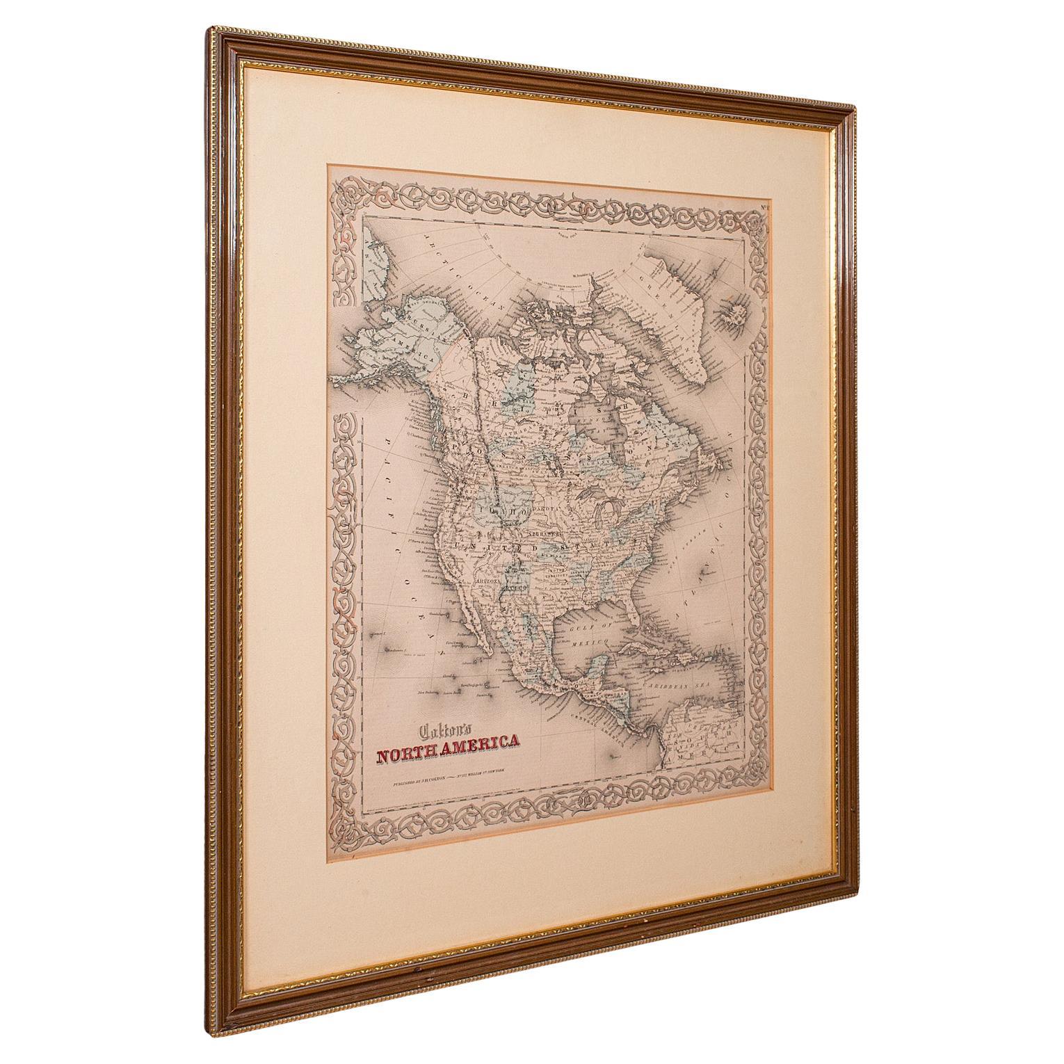
Antique North America Map, USA, Canada, Mexico, Cartography, Colton, Victorian
Located in Hele, Devon, GB
This is an antique North America map. A USA, framed lithography atlas engraving of the continent by JH Colton, dating to the Victorian period and later, circa 1860.
Fascinating, large framed map...
Category
Antique Mid-19th Century American Victorian Maps
Materials
Paper

1859 "Map of the United States of America..." by J. H. Colton
By J.H. Colton
Located in Colorado Springs, CO
Presented is an 1859 “Map of the United States of America, the British Provinces, Mexico, the West Indies and Central America with Part of...
Category
Antique 1850s American Maps
Materials
Paper

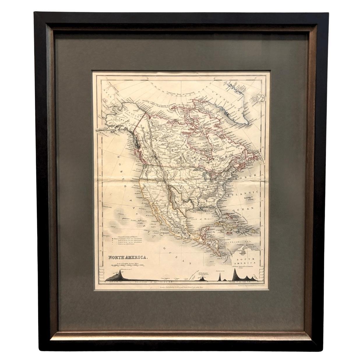
1846 "North America" Map, Engraved by I. Dower
Located in Colorado Springs, CO
Presented is an original 1846 map of “North America.” The map was drawn and engraved by I. Dower and published in London by Orr & Company. The map depicts North America, to include G...
Category
Antique 1840s English Victorian Maps
Materials
Paper

1864 Map of North America, Antique Hand-Colored Map, by Adolphe Hippolyte Dufour
Located in Colorado Springs, CO
Offered is a map of North America entitled Amerique du Nord from 1864. This rare, separately published wall map was produced by Adolphe Hippolyte Dufour. This map includes vibrant an...
Category
Antique 1860s French Maps
Materials
Paper

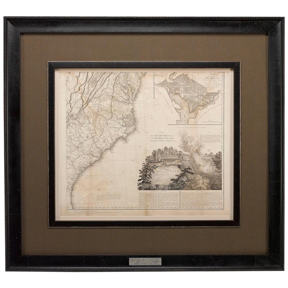
1812 United States Map, by Pierre Tardieu, Antique French Map Depicting the U.S.
By Pierre François Tardieu
Located in Colorado Springs, CO
1812 "United States of Nth America -- Carte des Etats-Unis De L'Amerique Septentrionale" Two-Sheet Map by Tardieu
This attractive map, published in Paris in 1812, is one of the most rare large format maps from the period. It features a view of the East Coast of the U.S. from Maryland to just below South Carolina. Additionally, Ellicott’s plan for the City of Washington D.C. is included at the top right and an illustration of Niagara Falls is shown at the bottom right with a description in both French and English. This extremely detailed map not only depicts the mountainous regions of the southeastern U.S., but also includes names of regions, rivers, and towns.
Based on the first state of Arrowsmith’s 4-sheet map of the United States, this map is completely engraved by Tardieu in Paris and showcases high quality engravings. This detailed map of the recently independent United States includes one of the largest and earliest examples of the Ellicott plan of Washington DC.
The artist, Pierre François Tardieu (PF Tardieu) was a very well-known map engraver, geographer, and illustrator. Awarded a bronze medal by King Louis-Phillipe for the accuracy and beauty of his map-making, Tardieu produced many fine works including maps of Louisiana...
Category
Antique 1810s French Maps
Materials
Paper

Antique Map of North America by Dufour 'circa 1834'
Located in Langweer, NL
Antique map titled 'Amérique Septentrionale'. Uncommon map of North America. Published by or after A.H. Dufour, circa 1834. Source unknown, to be determined.
Category
Antique Mid-19th Century Maps
Materials
Paper

$189 Sale Price
20% Off
More Ways To Browse
Cuban Mid Century
Antique Native American Collectibles
18th Century Maps America
Mexican 18th Century Furniture
Antique Oregon
Antique Map Mexico
Framed Map Of Paris
Antique Maps California
Haitian Wood
Cuban Antiques
Map Of Mexican California
Antique Maps Of Texas
Horloge Antique
Library Trolley
Library Cart
Antique Maps Colorado
Antique Map Of Cuba
Map Of Native American Tribes