Items Similar to Antique Map of the River Systems of Europe and Asia by Johnston '1850'


Want more images or videos?
Request additional images or videos from the seller
1 of 5
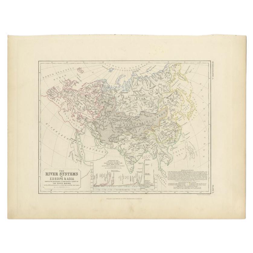
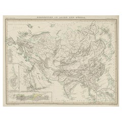
Antique Map of the River Systems of Europe and Asia by Johnston '1850'
$191.58
$239.4820% Off
£141.62
£177.0320% Off
€160
€20020% Off
CA$260.57
CA$325.7120% Off
A$291.96
A$364.9520% Off
CHF 151.98
CHF 189.9720% Off
MX$3,571.73
MX$4,464.6620% Off
NOK 1,929.08
NOK 2,411.3520% Off
SEK 1,821.99
SEK 2,277.4920% Off
DKK 1,218.32
DKK 1,522.9020% Off
Shipping
Retrieving quote...The 1stDibs Promise:
Authenticity Guarantee,
Money-Back Guarantee,
24-Hour Cancellation
About the Item
Antique map titled 'The River Systems of Europe and Asia showing the boundaries and comparative extent of the river basins'. Original antique map of the river systems of Europe and Asia. This map originates from 'The Physical Atlas of Natural Phenomena' by A.K. Johnston, published 1850.
- Dimensions:Height: 11.03 in (28 cm)Width: 14.18 in (36 cm)Depth: 0.02 in (0.5 mm)
- Materials and Techniques:
- Period:
- Date of Manufacture:1850
- Condition:General age-related toning. Minor wear, blank verso. Please study image carefully.
- Seller Location:Langweer, NL
- Reference Number:Seller: BG-12790-111stDibs: LU3054323452522
About the Seller
5.0
Recognized Seller
These prestigious sellers are industry leaders and represent the highest echelon for item quality and design.
Platinum Seller
Premium sellers with a 4.7+ rating and 24-hour response times
Established in 2009
1stDibs seller since 2017
2,494 sales on 1stDibs
Typical response time: 1 hour
- ShippingRetrieving quote...Shipping from: Langweer, Netherlands
- Return Policy
Authenticity Guarantee
In the unlikely event there’s an issue with an item’s authenticity, contact us within 1 year for a full refund. DetailsMoney-Back Guarantee
If your item is not as described, is damaged in transit, or does not arrive, contact us within 7 days for a full refund. Details24-Hour Cancellation
You have a 24-hour grace period in which to reconsider your purchase, with no questions asked.Vetted Professional Sellers
Our world-class sellers must adhere to strict standards for service and quality, maintaining the integrity of our listings.Price-Match Guarantee
If you find that a seller listed the same item for a lower price elsewhere, we’ll match it.Trusted Global Delivery
Our best-in-class carrier network provides specialized shipping options worldwide, including custom delivery.More From This Seller
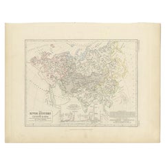
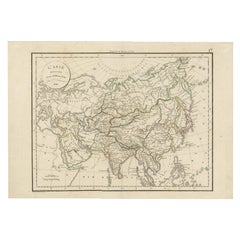
View AllAntique Map of the River Systems of Europe and Asia by Johnston, c.1850
Located in Langweer, NL
Antique map titled 'The River Systems of Europe & Asia'. Old map depicting the river systems of Europe and Asia showing the boundaries & comparative extent of the river basins, and t...
Category
Antique 19th Century Maps
Materials
Paper
$104 Sale Price
20% Off
Antique Map of the Mountain Chains of Europe and Asia by Johnston '1850'
Located in Langweer, NL
Antique map titled 'The Mountain chains of the Europe and Asia '. Original antique map of the mountain chains of Europe and Asia. This map originates from 'The Physical Atlas of Natu...
Category
Antique Mid-19th Century Maps
Materials
Paper

$191 Sale Price
20% Off
Antique Detailed Map of the Mountain Chains of Europe and Asia, c.1850
Located in Langweer, NL
Antique map titled 'The Mountain Chains of Europe & Asia'.
Old map depicting the mountain chains of Europe and Asia. Originates from 'The Physical Atlas of Natural Phenomena'.
Ar...
Category
Antique 19th Century Maps
Materials
Paper

Original Antique Map Showing the Mountain Ranges in Asia and Europe, 1849
Located in Langweer, NL
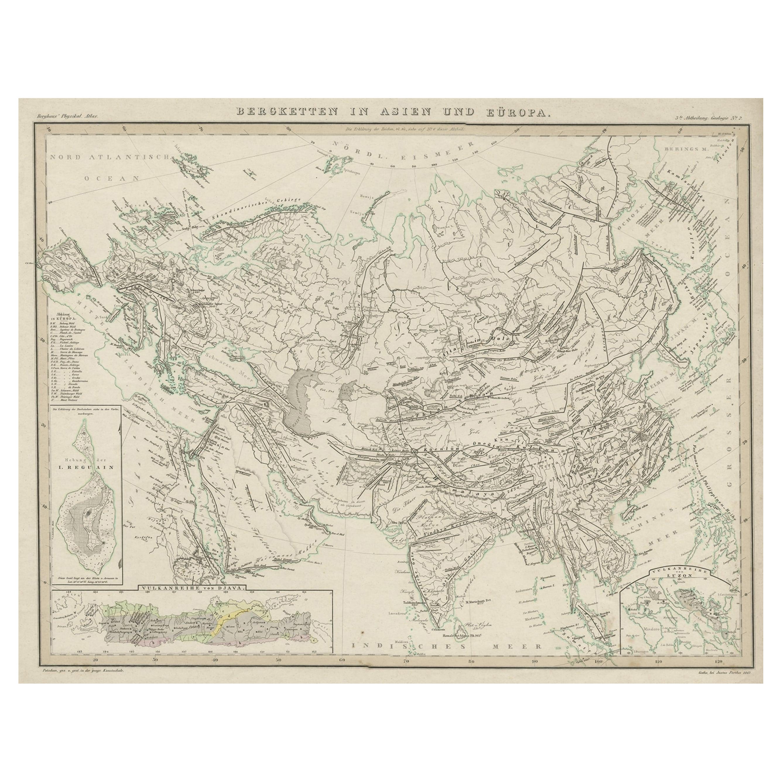
Antique map titled 'Bergketten in Asien und Eüropa'. Original antique map showing the mountain ranges in Asia and Europe. In outline color with inset maps of Java, Luzon, and Reguain...
Category
Antique 1840s Maps
Materials
Paper
$268 Sale Price
20% Off
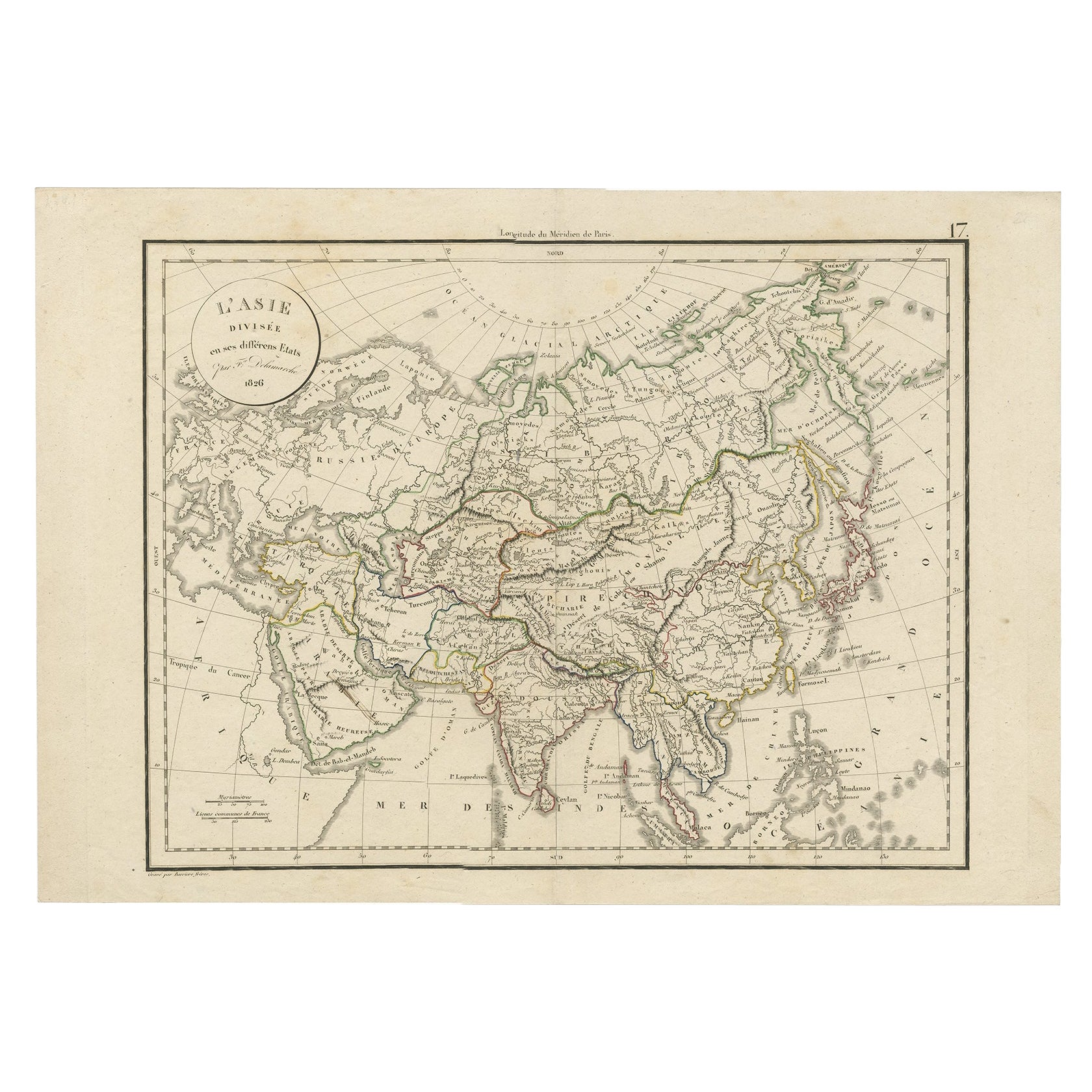
Antique Map of Asia by Delamarche, 1826
Located in Langweer, NL
Vaugondy's map plates and copyrights and later addes many plates from other sources as well. Charles Delamarche eventually passed control of the firm to his son Felix Delamarche (18t...
Category
Antique 19th Century Maps
Materials
Paper
$229 Sale Price
20% Off
Antique Map of Asia by Lapie, 1842
Located in Langweer, NL
Antique map titled 'Carte de l'Asie'. Map of Asia. This map originates from 'Atlas universel de géographie ancienne et moderne (..)' by Pierre M. Lapie and...
Category
Antique Mid-19th Century Maps
Materials
Paper

$574 Sale Price
20% Off
You May Also Like
Large Original Antique Map of Asia by Sidney Hall, 1847
Located in St Annes, Lancashire
Great map of Asia
Drawn and engraved by Sidney Hall
Steel engraving
Original colour outline
Published by A & C Black. 1847
Unframed
Free shipping
Category
Antique 1840s Scottish Maps
Materials
Paper

Original Antique Map of The Eastern Hemisphere by Dower, circa 1835
Located in St Annes, Lancashire
Nice map of the Eastern Hemisphere
Drawn and engraved by J.Dower
Published by Orr & Smith. C.1835
Unframed.
Free shipping
Category
Antique 1830s English Maps
Materials
Paper

1860 Large Map "Carte De La Siberie Russie D'asie, " Ric.R0001
Located in Norton, MA
Large 1860 map "Carte De La Siberie Russie D'Asie," R-0001
" Authentic" - 1860 map "Carte De La Siberie Russie D'Asie,"
Dimension: Paper: 68 cm W x 51 cm H ; Sight: 51cm W x 4...
Category
Antique 19th Century Unknown Maps
Materials
Paper

Large1852 Map "Russian Empire" Ric.r0011
Located in Norton, MA
Large
1852 map "Russian Empire"
George Phillips & Son 1852
Ric.r0011
Dimension: Paper: 67 cm W x 52 cm H ; Sight: 60cm W x 50 cm H
Condition: Good Condition with aged tonin...
Category
Antique 19th Century Unknown Maps
Materials
Paper

Super Rare Antique French Map of Chine and the Chinese Empire, 1780
Located in Amsterdam, Noord Holland
Super Rare Antique French Map of Chine and the Chinese Empire, 1780
Very nice map of Asia. 1780 Made by Bonne.
Additional information:
Type: Map
...
Category
Antique 18th Century European Maps
Materials
Paper

$584 Sale Price
33% Off
1864 Original illustrated planisphere - World Map - Geography
Located in PARIS, FR
Immerse yourself in the epic journey of the past with the Illustrated Historical Planisphere of 1864 by Charpentier! 🗺️ This cartographic treasure transports you through the intrica...
Category
1860s Prints and Multiples
Materials
Linen, Lithograph, Paper

More Ways To Browse
Turkey Map
Map Of Austria
Antique Mediterranean Map
Antique Furniture Building Plans
Map Of Ireland
18th Century Compass
18th Century Maps America
Map Of Great Britain
Miniature Maps
Antique Map New York
Antique Wine Maps
Antique Map Of The South Of France
Antique Maps Of Greece
Large Framed Maps
Java Map
Antique Marine Maps
Antique Indian Maps
West Africa Map