Items Similar to Large Original Antique Map of Afghanistan. Edward Weller, 1861


Want more images or videos?
Request additional images or videos from the seller
1 of 5
Large Original Antique Map of Afghanistan. Edward Weller, 1861
$60
£45.81
€52.93
CA$84.23
A$93.88
CHF 49.26
MX$1,146.45
NOK 623.69
SEK 589.49
DKK 395.06
About the Item
Great map of Afghanistan
Lithograph engraving by Edward Weller
Original colour
Published, 1861
Unframed
Good condition
- Dimensions:Height: 19 in (48.26 cm)Width: 13 in (33.02 cm)Depth: 0.07 in (1.78 mm)
- Style:Victorian (Of the Period)
- Materials and Techniques:Paper,Other
- Place of Origin:
- Period:
- Date of Manufacture:1861
- Condition:Wear consistent with age and use.
- Seller Location:St Annes, GB
- Reference Number:1stDibs: LU1836341083502
About the Seller
4.9
Platinum Seller
Premium sellers with a 4.7+ rating and 24-hour response times
1stDibs seller since 2016
3,116 sales on 1stDibs
Typical response time: 1 hour
Associations
International Confederation of Art and Antique Dealers' Associations
- ShippingRetrieving quote...Shipping from: St Annes, United Kingdom
- Return Policy
Authenticity Guarantee
In the unlikely event there’s an issue with an item’s authenticity, contact us within 1 year for a full refund. DetailsMoney-Back Guarantee
If your item is not as described, is damaged in transit, or does not arrive, contact us within 7 days for a full refund. Details24-Hour Cancellation
You have a 24-hour grace period in which to reconsider your purchase, with no questions asked.Vetted Professional Sellers
Our world-class sellers must adhere to strict standards for service and quality, maintaining the integrity of our listings.Price-Match Guarantee
If you find that a seller listed the same item for a lower price elsewhere, we’ll match it.Trusted Global Delivery
Our best-in-class carrier network provides specialized shipping options worldwide, including custom delivery.More From This Seller
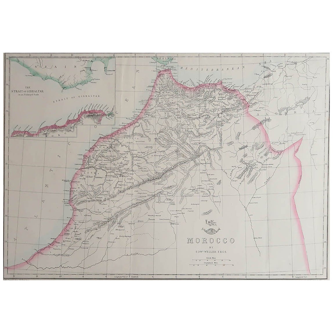
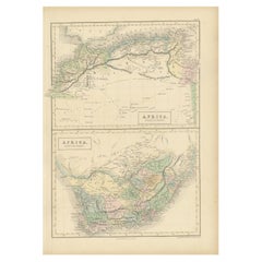
View AllLarge Original Antique Map of Morocco. Edward Weller, 1861
Located in St Annes, Lancashire
Great map of Morocco
Lithograph engraving by Edward Weller
Original colour
Published, 1861
Unframed
Good condition.
Category
Antique 1860s English Victorian Maps
Materials
Paper

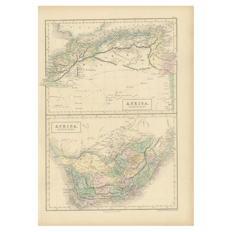
Original Antique Map of Africa by Dower, circa 1835
Located in St Annes, Lancashire
Nice map of Africa
Drawn and engraved by J.Dower
Published by Orr & Smith. C.1835
Unframed.
Free shipping
Category
Antique 1830s English Maps
Materials
Paper

Original Antique Map of India by Dower, circa 1835
Located in St Annes, Lancashire
Nice map of India
Drawn and engraved by J.Dower
Published by Orr & Smith. C.1835
Unframed.
Free shipping
Category
Antique 1830s English Maps
Materials
Paper

Large Original Antique Map of Africa. C.1900
Located in St Annes, Lancashire
Fabulous map of Africa
Original color.
Engraved and printed by the George F. Cram Company, Indianapolis.
Published, C.1900.
Unframed.
Free shipping.
Category
Antique 1890s American Maps
Materials
Paper

Large Original Antique Map of Cyprus. 1894
Located in St Annes, Lancashire
Superb Antique map of Cyprus
Published Edward Stanford, Charing Cross, London 1894
Original colour
Good condition
Unframed.
Free shipping
Category
Antique 1890s English Maps
Materials
Paper

Original Antique Map of China, Arrowsmith, 1820
Located in St Annes, Lancashire
Great map of China
Drawn under the direction of Arrowsmith
Copper-plate engraving
Published by Longman, Hurst, Rees, Orme and Brown, 1820
Unfr...
Category
Antique 1820s English Maps
Materials
Paper

You May Also Like
Antique Map of Afghanistan and Surroundings, '1845'
Located in Langweer, NL
Antique map titled 'Map of Persia and Caubul'. Original antique map of Afghanistan and surroundings.
This map originates from 'An Atlas of the World, Comprehending Separate Maps of...
Category
Antique Mid-19th Century Maps
Materials
Paper

$188 Sale Price
20% Off
Antique Map of North Africa and South Africa by Black, 1854
Located in Langweer, NL
Antique map titled 'Africa north part - Africa south part'. Old map of Africa showing the region of Morocco, Algeria and South Africa. This map orginates from 'General Atlas Of The W...
Category
Antique 19th Century Maps
Materials
Paper
$103 Sale Price
20% Off
Antique Map of Persia and Afghanistan by Johnston, 1882
Located in Langweer, NL
Antique map titled 'Persia and Afghanistan'.
Old map of Persia and Afghanistan. This map originates from 'The Royal Atlas of Modern Geography, Exhibiting, in a Series of Entirely O...
Category
Antique 19th Century Maps
Materials
Paper

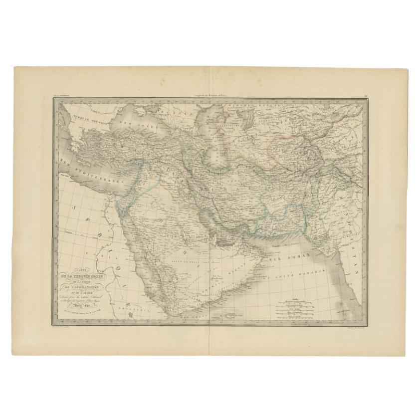
Antique Map of Turkey, Persia and Afghanistan, 1842
By Pierre M. Lapie
Located in Langweer, NL
Antique map titled 'Carte de la Turquie d'Asia, de la Perse, de l'Afghanistan'. Map of Turkey, Persia and Afghanistan. This map originates from 'Atlas universel de géographie ancienn...
Category
Antique 19th Century Maps
Materials
Paper

$358 Sale Price
20% Off
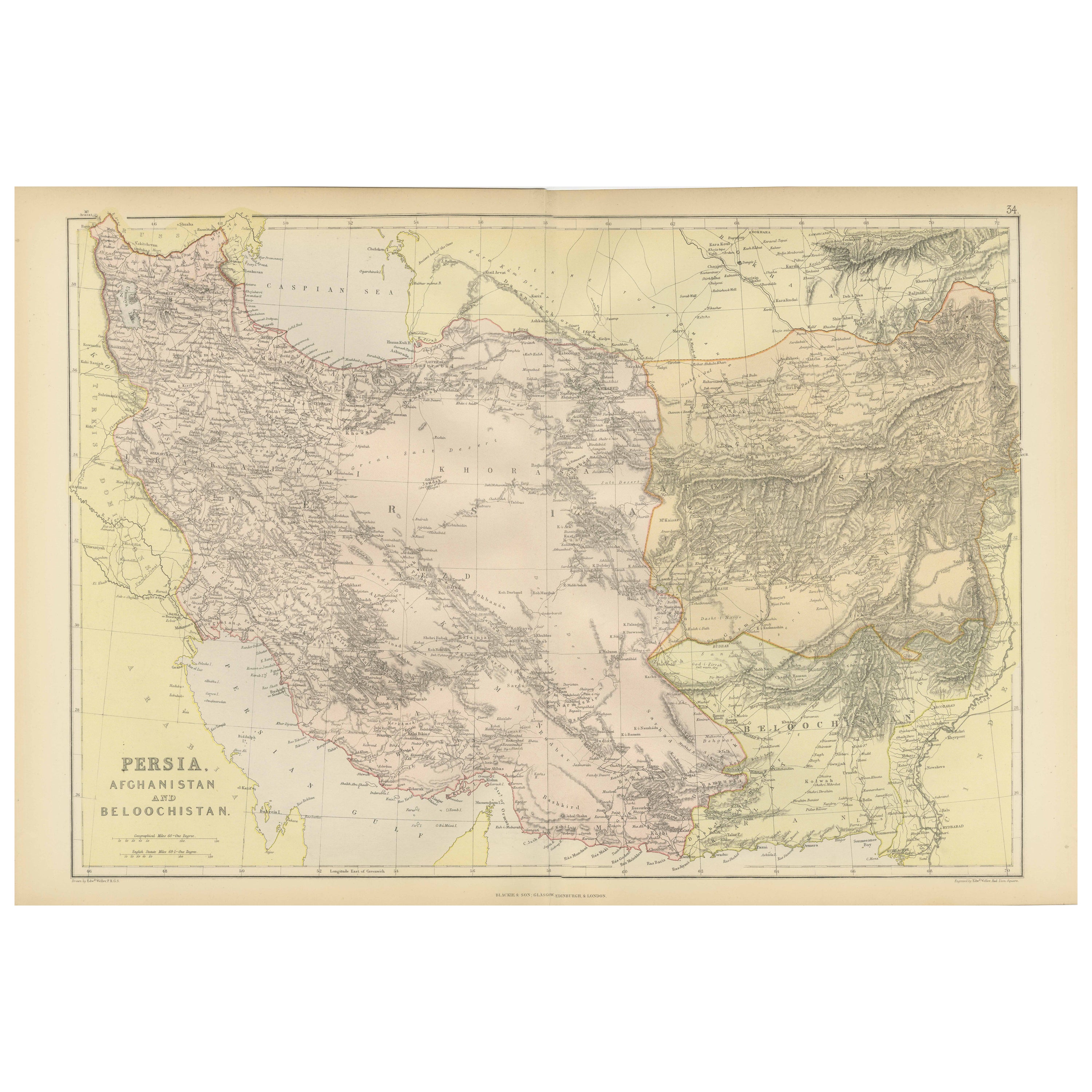
Oriental Realms: A Detailed Map of Persia, Afghanistan, and Beloochistan, 1882
Located in Langweer, NL
This historical map from the 1882 atlas published by Blackie & Son is a comprehensive depiction of Persia (modern-day Iran), Afghanistan, and Baluchistan (the region that includes pa...
Category
Antique 1880s Maps
Materials
Paper

$292 Sale Price
20% Off
Persia Unveiled: Antique Map of Iran, Afghanistan, and Beyond, 1852
Located in Langweer, NL
The antique map titled 'Royaumes de Perse Herat & Kaboul' is an attractive map of Persia. Here are the key details and features of the map:
1. **Geographic Coverage**:
- The map ...
Category
Antique Mid-19th Century Maps
Materials
Paper

$150 Sale Price
20% Off
More Ways To Browse
Coffee Table Black Italian Modern
Christofle America
Iranian Silk Rug Carpet
Poul Moller
Tables With Inlaid Wood
World War Table
Antonio Jacobsen
Ariston Chairs
Coffee Tables Europe
Marble Top Dining Tables
Nordiska Argentina
Pink And Black Rug
Black Wooden Chair
Orrefors Embassy
Black Ebonized
Elios Chair
Panache Designs
Plata Lappas