Items Similar to Antique Map of Persia and Afghanistan by Johnston, 1882


Want more images or videos?
Request additional images or videos from the seller
1 of 5
Antique Map of Persia and Afghanistan by Johnston, 1882
About the Item
Antique map titled 'Persia and Afghanistan'.
Old map of Persia and Afghanistan. This map originates from 'The Royal Atlas of Modern Geography, Exhibiting, in a Series of Entirely Original and Authentic Maps, the Present Condition of Geographical Discovery and Research in the Several Countries, Empires, and States of the World' by A.K. Johnston.
Published by W. and A.K. Johnston, 1882. Artists and Engravers: Alexander Keith Johnston LLD (1804-1871) was a Scottish geographer. He was a pupil of the Edinburgh engraver and mapmaker, James Kirkwood. In 1826, he joined his brother William (who would become Sir William Johnston, Lord Provost of Edinburgh) in a printing and engraving business, forming the well-known cartographical firm of W. and A. K. Johnston.
Artist: Alexander Keith Johnston LLD (1804-1871) was a Scottish geographer. He was a pupil of the Edinburgh engraver and mapmaker, James Kirkwood. In 1826, he joined his brother William (who would become Sir William Johnston, Lord Provost of Edinburgh) in a printing and engraving business, forming the well-known cartographical firm of W. and A. K. Johnston.
Condition: Fair, general age-related toning. Large split on center fold, please study image carefully.
Date: 1882
Overall size: 61.3 x 49.6 cm.
Image size: 57.3 x 44.2 cm.
Antique prints have long been appreciated for both their aesthetic and investment value. They were the product of engraved, etched or lithographed plates. These plates were handmade out of wood or metal, which required an incredible level of skill, patience and craftsmanship. Whether you have a house with Victorian furniture or more contemporary decor an old engraving can enhance your living space.
- Dimensions:Height: 19.53 in (49.6 cm)Width: 24.14 in (61.3 cm)Depth: 0 in (0.01 mm)
- Materials and Techniques:
- Period:
- Date of Manufacture:1882
- Condition:
- Seller Location:Langweer, NL
- Reference Number:
About the Seller
5.0
Platinum Seller
These expertly vetted sellers are 1stDibs' most experienced sellers and are rated highest by our customers.
Established in 2009
1stDibs seller since 2017
1,932 sales on 1stDibs
Typical response time: <1 hour
- ShippingRetrieving quote...Ships From: Langweer, Netherlands
- Return PolicyA return for this item may be initiated within 14 days of delivery.
More From This SellerView All
- Antique Map of Persia and Afghanistan by Johnston '1909'Located in Langweer, NLAntique map titled 'Persia and Afghanistan'. Original antique map of Persia and Afghanistan. This map originates from the ‘Royal Atlas o...Category
Early 20th Century Maps
MaterialsPaper
- Antique Map of Switzerland by Johnston, 1882Located in Langweer, NLAntique map titled 'Switzerland and the Alps of Savoy and Piedmont'. Old map of Switzerland and the Alps of Savoy and Piedmont. This map originates from 'The Royal Atlas of Modern Ge...Category
Antique 19th Century Maps
MaterialsPaper
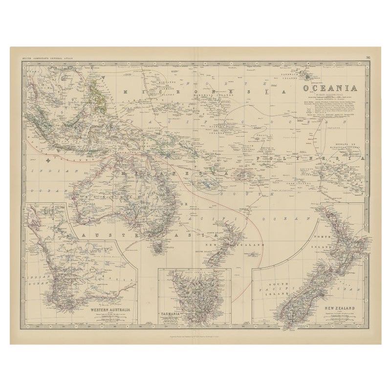
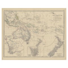
- Antique Map of Oceania by Johnston, 1882Located in Langweer, NLAntique map titled 'Oceania'. Old map of Oceania with inset maps of Western Australia, Tasmania and New Zealand. This map originates from 'The Royal Atlas of Modern Geography, Exhibi...Category
Antique 19th Century Maps
MaterialsPaper
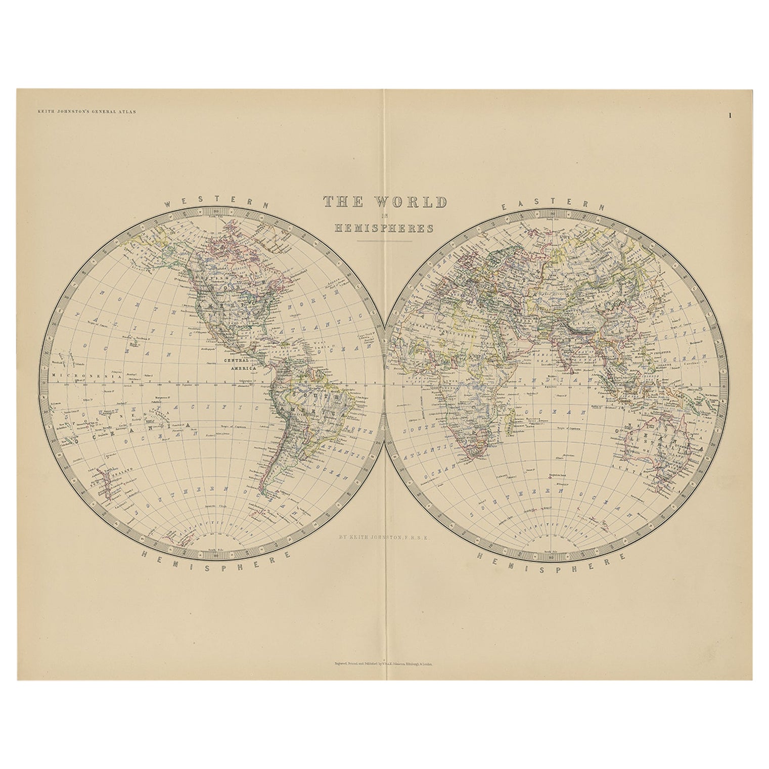
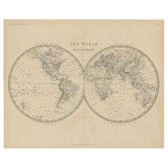
- Antique World Map by Johnston, 1882Located in Langweer, NLAntique map titled 'The World in Hemispheres'. Old double-hemisphere world map. This map originates from 'The Royal Atlas of Modern Geography, Exhibiting, in a Series of Entirely Ori...Category
Antique 19th Century Maps
MaterialsPaper
- Antique Map of England and Wales by Johnston, 1882Located in Langweer, NLAntique map titled 'England and Wales'. Old map of England and Wales, with an inset map of Scilly Islands. This map originates from 'The Royal Atlas of Modern Geography, Exhibiting, ...Category
Antique 19th Century Maps
MaterialsPaper
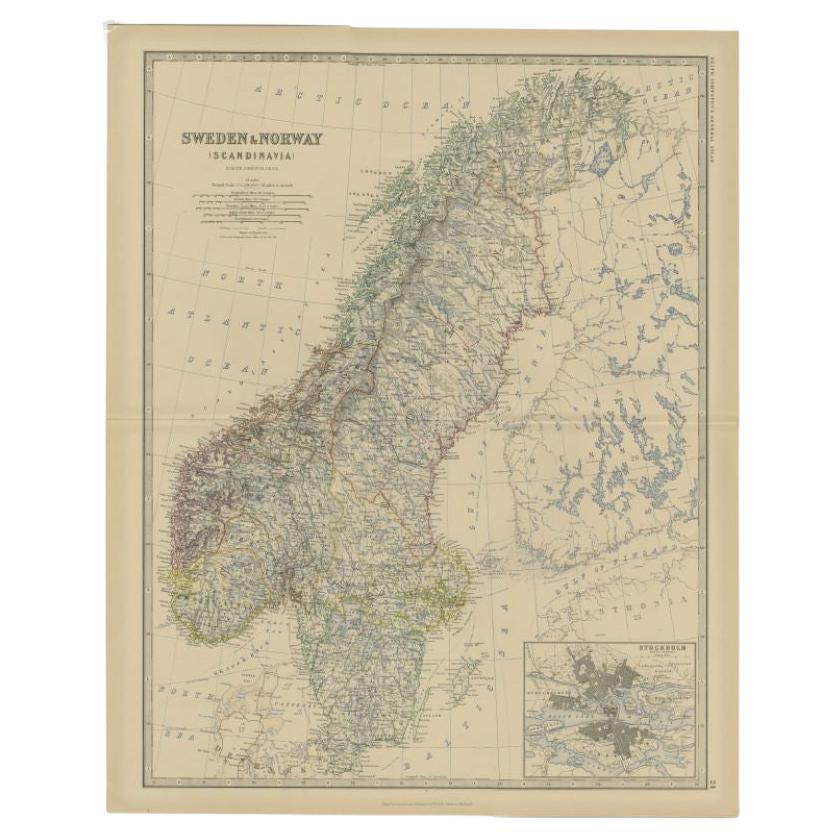
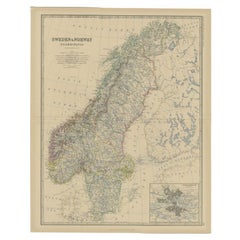
- Antique Map of Sweden and Norway by Johnston, 1882Located in Langweer, NLAntique map titled 'Sweden & Norway (Scandinavia)'. Old map of Sweden and Norway, with inset map of Stockholm. This map originates from 'The Royal Atlas ...Category
Antique 19th Century Maps
MaterialsPaper


You May Also Like
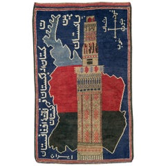
- Vintage Afghan Pictorial Map RugLocated in New York, NYA vintage Afghan Pictorial map rug from the mid-20th century. Measures: 3' 0" x 4' 10"Category
Mid-20th Century Afghan Folk Art Central Asian Rugs
MaterialsWool
- 1861 Topographical Map of the District of Columbia, by Boschke, Antique MapLocated in Colorado Springs, COPresented is an original map of Albert Boschke's extremely sought-after "Topographical Map of the District of Columbia Surveyed in the Years 1856 ...Category
Antique 1860s American Historical Memorabilia
MaterialsPaper
- 1907 Map of Colorado, Antique Topographical Map, by Louis NellLocated in Colorado Springs, COThis highly detailed pocket map is a topographical map of the state of Colorado by Louis Nell from 1907. The map "has been complied from all availabl...Category
Antique Early 1900s American Maps
MaterialsPaper
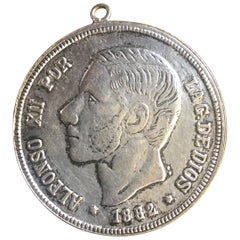
- Antique Spanish Coin Dated 1882Located in Miami, FLFine Spanish coin that was previously on a silver bracelet (sold separately). Spain, Alphonse XII (1874-1885), 5 Peseta, 1882, Year: 1882 Metal: Silver.Category
Antique 19th Century Spanish Collectible Jewelry
MaterialsSilver
- 1854 Map of Massachusetts, Connecticut and Rhode Island, Antique Wall MapLocated in Colorado Springs, COThis striking wall map was published in 1854 by Ensign, Bridgman & Fanning and has both full original hand-coloring and original hardware. This impression is both informative and highly decorative. The states are divided into counties, outlined in red, green, and black, and subdivided into towns. Roads, canals, and railroad lines are prominently depicted, although they are not all labeled. The mapmakers also marked lighthouses, banks, churches, and prominent buildings, with a key at right. The map is an informative and comprehensive overview of the infrastructural development of New England prior to the Civil War. Physical geographies depicted include elevation, conveyed with hachure marks, rivers and lakes. The impression features an inset map of Boston...Category
Antique 19th Century American Maps
MaterialsPaper
- Vintage World Map Mirror Based on the Original by Johnson 1882 Military CampaignLocated in GBWe are delighted to offer for sale this lovely Antique style pictorial plan map of the globe based on the original by Johnson in 1882 This is a very interesting and decorative pie...Category
20th Century English Campaign Maps
MaterialsMirror


Recently Viewed
View AllMore Ways To Browse
Antique Persia
Antique Decor And More
Antique World Map Print
Antique And Modern Decor
Alexander James
Antique Prints Of Edinburgh
Antique Scottish Wood Furniture
Antique Map Scotland
Antique Map Of Scotland
Antique Maps Scotland
Scotland Antique Map
Antique Scotland Map
Antique Scottish Maps
Antique Map Fair
Map Of Scotland
Map Edinburgh
Scottish Lord
Large Antique World Maps