Items Similar to Original Antique Map of Ancient Greece- Boeotia, Thebes, 1787


Want more images or videos?
Request additional images or videos from the seller
1 of 5
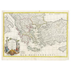
Original Antique Map of Ancient Greece- Boeotia, Thebes, 1787
$35
£26.56
€30.37
CA$48.89
A$54.35
CHF 28.38
MX$661.62
NOK 362.13
SEK 339.29
DKK 226.63
Shipping
Retrieving quote...The 1stDibs Promise:
Authenticity Guarantee,
Money-Back Guarantee,
24-Hour Cancellation
About the Item
Great map of Ancient Greece. Showing the region of Boeotia, including Thebes
Drawn by J.D. Barbie Du Bocage
Copper plate engraving by P.F Tardieu
Original hand color outline.
Published 1785
Unframed.
- Dimensions:Height: 10 in (25.4 cm)Width: 14 in (35.56 cm)Depth: 0.07 in (1.78 mm)
- Style:Other (In the Style Of)
- Materials and Techniques:Paper,Other
- Place of Origin:
- Period:1780-1789
- Date of Manufacture:1787
- Condition:Wear consistent with age and use.
- Seller Location:St Annes, GB
- Reference Number:1stDibs: LU1836324413612
About the Seller
4.9
Platinum Seller
Premium sellers with a 4.7+ rating and 24-hour response times
1stDibs seller since 2016
3,114 sales on 1stDibs
Typical response time: 1 hour
Associations
International Confederation of Art and Antique Dealers' Associations
- ShippingRetrieving quote...Shipping from: St Annes, United Kingdom
- Return Policy
Authenticity Guarantee
In the unlikely event there’s an issue with an item’s authenticity, contact us within 1 year for a full refund. DetailsMoney-Back Guarantee
If your item is not as described, is damaged in transit, or does not arrive, contact us within 7 days for a full refund. Details24-Hour Cancellation
You have a 24-hour grace period in which to reconsider your purchase, with no questions asked.Vetted Professional Sellers
Our world-class sellers must adhere to strict standards for service and quality, maintaining the integrity of our listings.Price-Match Guarantee
If you find that a seller listed the same item for a lower price elsewhere, we’ll match it.Trusted Global Delivery
Our best-in-class carrier network provides specialized shipping options worldwide, including custom delivery.More From This Seller
View AllOriginal Antique Map of Ancient Greece, Achaia, Corinth, 1786
Located in St Annes, Lancashire
Great map of Ancient Greece. Showing the region of Thessaly, including Mount Olympus
Drawn by J.D. Barbie Du Bocage
Copper plate engraving by P.F Tardieu
Original hand color...
Category
Antique 1780s French Other Maps
Materials
Paper

Original Antique Map of Hungary, Arrowsmith, 1820
Located in St Annes, Lancashire
Great map of Hungary
Drawn under the direction of Arrowsmith.
Copper-plate engraving.
Published by Longman, Hurst, Rees, Orme and Brown, 1820
Unframed.
Category
Antique 1820s English Maps
Materials
Paper

Original Antique Map or City Plan of Rome, Italy. Circa 1835
Located in St Annes, Lancashire
Nice map of Rome
Drawn and engraved by J.Dower
Published by Orr & Smith. C.1835
Unframed.
Free shipping
Category
Antique 1830s English Maps
Materials
Paper

Original Antique Map of Switzerland, Engraved By Barlow, Dated 1807
Located in St Annes, Lancashire
Great map of Switzerland
Copper-plate engraving by Barlow
Published by Brightly & Kinnersly, Bungay, Suffolk.
Dated 1807
Unframed.
Category
Antique Early 1800s English Maps
Materials
Paper

Original Antique Map of Europe, Arrowsmith, 1820
Located in St Annes, Lancashire
Great map of Europe
Drawn under the direction of Arrowsmith.
Copper-plate engraving.
Published by Longman, Hurst, Rees, Orme and Brown, 1820
...
Category
Antique 1820s English Maps
Materials
Paper

Large Original Antique Map of Cyprus. 1894
Located in St Annes, Lancashire
Superb Antique map of Cyprus
Published Edward Stanford, Charing Cross, London 1894
Original colour
Good condition
Unframed.
Free shipping
Category
Antique 1890s English Maps
Materials
Paper

You May Also Like
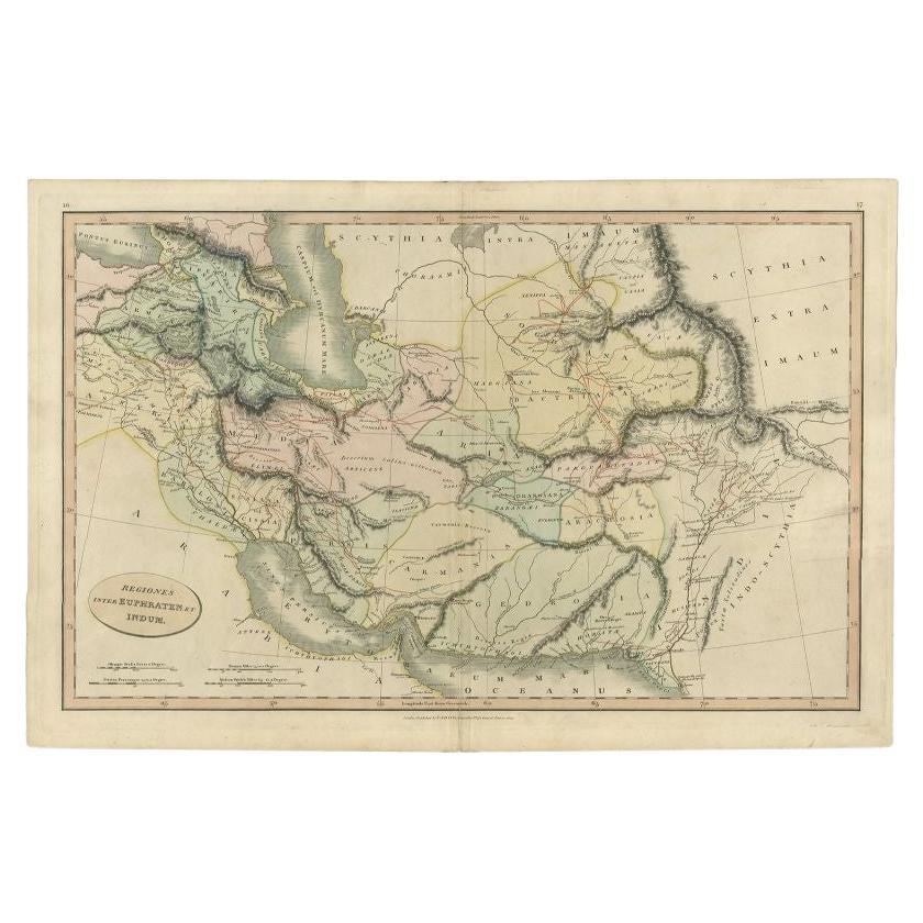
Antique Map of the Middle East by Smith, 1809
Located in Langweer, NL
Antique map titled 'Regiones inter Euphraten et Indum'. Old map of the Middle East showing the region between the Euphrates and Indus river. Ori...
Category
Antique 19th Century Maps
Materials
Paper
$129 Sale Price
20% Off
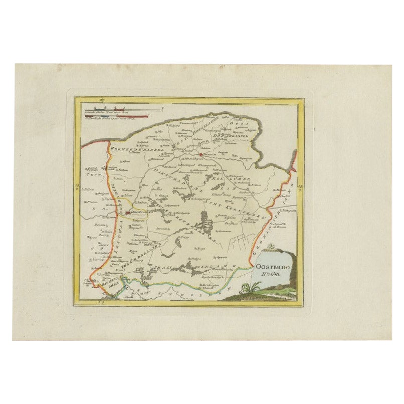
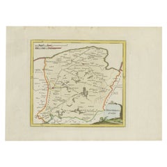
Antique Map of Oostergo by Von Reilly, 1791
Located in Langweer, NL
Antique map titled 'Oostergo'. Map of the Oostergo region, Friesland, the Netherlands. This map orginates from 'Schauplatz der fünf Theile der Welt'. Artists and Engravers: Franz Jos...
Category
Antique 18th Century Maps
Materials
Paper
$175 Sale Price
20% Off
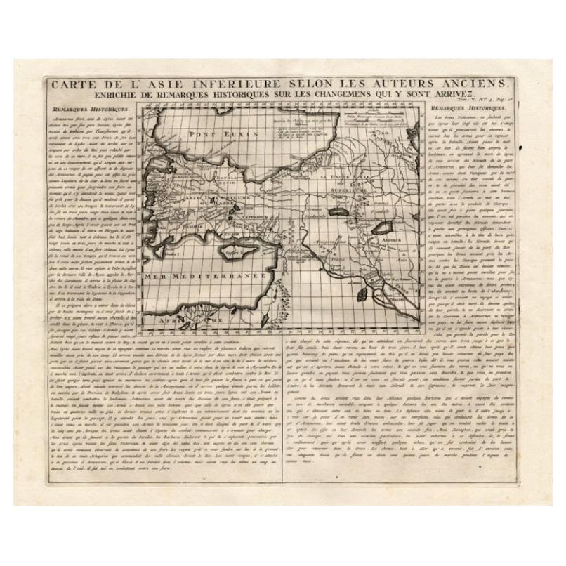
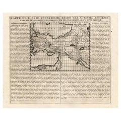
Detailed Antique Map of Asia Minor & Cyprus with Historical Notes, 1732
Located in Langweer, NL
Antique map titled 'Carte De L'Asie Inferieure Selon Les Auteurs Anciens (..)'. Detailed map of Asia Minor & Cyprus. With historical notes. This original old antique print / plate or...
Category
Antique 18th Century Maps
Materials
Paper
$239 Sale Price
20% Off
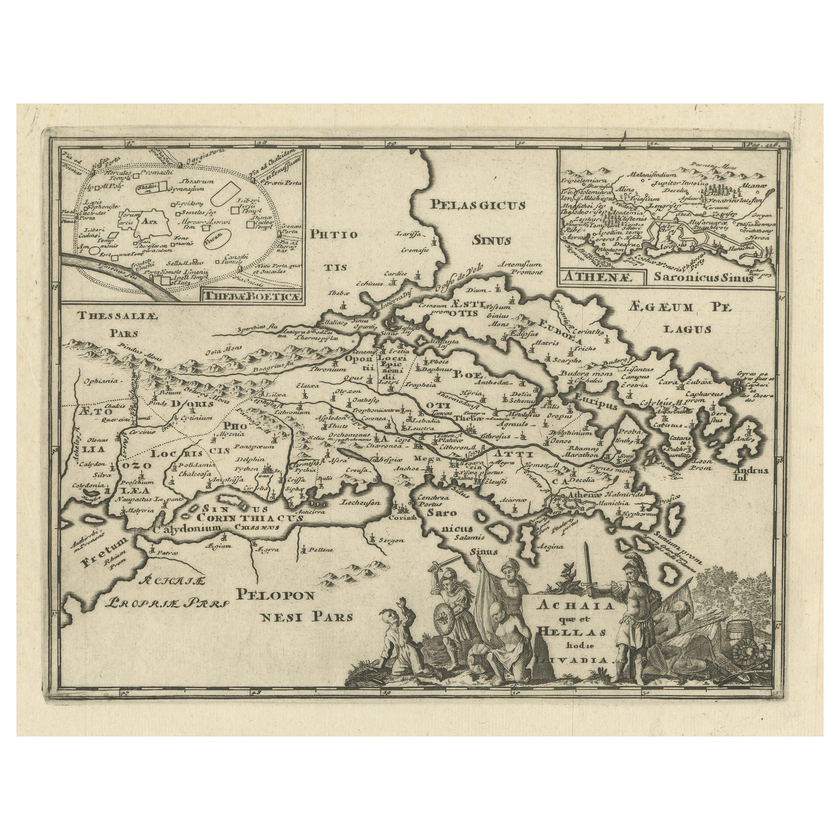
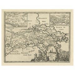
Original Antique Map of the Coast of Part of Greece, with Athens and Thebes
Located in Langweer, NL
Original antique map titled 'Achaia quae et Hellas hodie Livadia'. Detailed map of the coast of part of Greece. With inset maps of Athens and Thebes. This map originates from 'Philippi Cluveri Introductionis in universam geographiam (..)' by P. Clüver. Published 1729.
Philipp Clüver was an Early Modern German geographer and historian. Cluver's Geography was one of the most enduring works of the 17th & 18th Centuries, issued by several different publishers with many different sets of maps...
Category
Antique Early 18th Century Maps
Materials
Paper
$422 Sale Price
20% Off
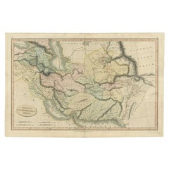
Antique Map of the Persian Gulf and Caspian Sea Region by R. Bonne, 1780
Located in Langweer, NL
Antique print titled 'Carte de la Perse, de la Georgie, et de la Tartarie Independante'. Shows the region from the Persian Gulf and Caspian Sea in the wes...
Category
Antique Late 18th Century French Maps
Materials
Paper

Historical Map of Greece and the Eastern Mediterranean by Delisle - 1780
Located in Langweer, NL
Historical Map of Greece and the Eastern Mediterranean by Guillaume Delisle - 1780 Reissue
This captivating map titled "Carte de la Grèce" was originally crafted by the eminent Fr...
Category
Antique 1780s Maps
Materials
Paper
$278 Sale Price
20% Off
More Ways To Browse
Engraving Greek
Engravings Greece
Antique Maps Of Greece
Used Barbie Furniture
Map Of Ancient Greece
Antique Map Of The South Of France
Antique Maps Of Greece
Large Framed Maps
Java Map
Antique Marine Maps
Antique Indian Maps
West Africa Map
Antique Maps Of Wales
Antique Map Denmark
Antique Mining
Antique World Globe Map
Antique Oregon
Hemispheres Map