Items Similar to Old German Map of Northern America with Attractive Hand Colouring, 1864


Want more images or videos?
Request additional images or videos from the seller
1 of 6
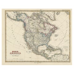
Old German Map of Northern America with Attractive Hand Colouring, 1864
$345.36
$431.7020% Off
£256.92
£321.1420% Off
€288
€36020% Off
CA$472.92
CA$591.1520% Off
A$525.82
A$657.2820% Off
CHF 274.56
CHF 343.2020% Off
MX$6,400.55
MX$8,000.6920% Off
NOK 3,503.22
NOK 4,379.0220% Off
SEK 3,282.35
SEK 4,102.9320% Off
DKK 2,192.38
DKK 2,740.4820% Off
Shipping
Retrieving quote...The 1stDibs Promise:
Authenticity Guarantee,
Money-Back Guarantee,
24-Hour Cancellation
About the Item
Interesting German map of Northern America in a handsome coloring.
Genuine antique hand colored map of North America, with handsome detail, in German detailed, drawn by the famous skilled German cartographer von Stülpnagel, Very good overall antique condition, measures approx. 12 x 15 inches.
- Dimensions:Height: 14.18 in (36 cm)Width: 17.92 in (45.5 cm)Depth: 0 in (0.02 mm)
- Materials and Techniques:Paper,Engraved
- Period:
- Date of Manufacture:1864
- Condition:Very good. Light wear or browning but outside the image and plate. Blank on verso. Folding line in the middle as published.
- Seller Location:Langweer, NL
- Reference Number:Seller: BG-13190-81stDibs: LU3054329547762
About the Seller
5.0
Recognized Seller
These prestigious sellers are industry leaders and represent the highest echelon for item quality and design.
Platinum Seller
Premium sellers with a 4.7+ rating and 24-hour response times
Established in 2009
1stDibs seller since 2017
2,511 sales on 1stDibs
Typical response time: <1 hour
- ShippingRetrieving quote...Shipping from: Langweer, Netherlands
- Return Policy
Authenticity Guarantee
In the unlikely event there’s an issue with an item’s authenticity, contact us within 1 year for a full refund. DetailsMoney-Back Guarantee
If your item is not as described, is damaged in transit, or does not arrive, contact us within 7 days for a full refund. Details24-Hour Cancellation
You have a 24-hour grace period in which to reconsider your purchase, with no questions asked.Vetted Professional Sellers
Our world-class sellers must adhere to strict standards for service and quality, maintaining the integrity of our listings.Price-Match Guarantee
If you find that a seller listed the same item for a lower price elsewhere, we’ll match it.Trusted Global Delivery
Our best-in-class carrier network provides specialized shipping options worldwide, including custom delivery.More From This Seller
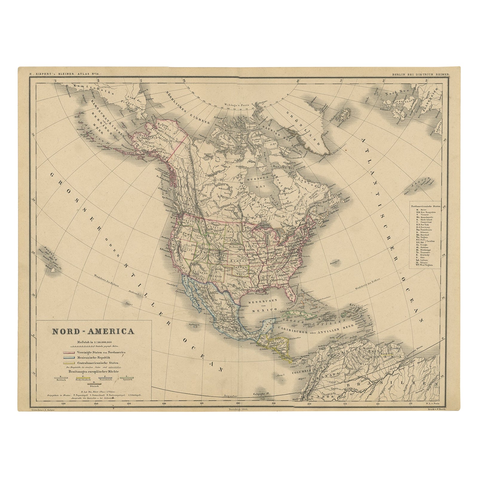
View AllOld Original Antique German Map of North America, ca.1870
Located in Langweer, NL
Antique map titled 'Nord-America'.
Old map of North America. This map originates from 'H. Kiepert's Kleiner Atlas der Neueren Geographie für Schule und Haus'.
Artists and Engrave...
Category
Antique 1870s Maps
Materials
Paper

$470 Sale Price
20% Off
Antique Map of North America by A & C. Black, 1870
Located in Langweer, NL
Antique map titled 'North America'. Original antique map of North America. This map originates from ‘Black's General Atlas of The World’. Published by A & C. Black, 1870.
Category
Antique Late 19th Century Maps
Materials
Paper

$263 Sale Price
20% Off
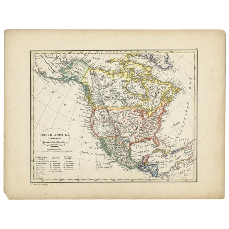
Antique Map of North America from an Old Dutch School Atlas, 1852
Located in Langweer, NL
Antique map titled 'Noord-Amerika'. Map of North America. This map originates from 'School-Atlas van alle deelen der Aarde' by Otto Petri. Artists and Engra...
Category
Antique 19th Century Maps
Materials
Paper

$211 Sale Price
20% Off
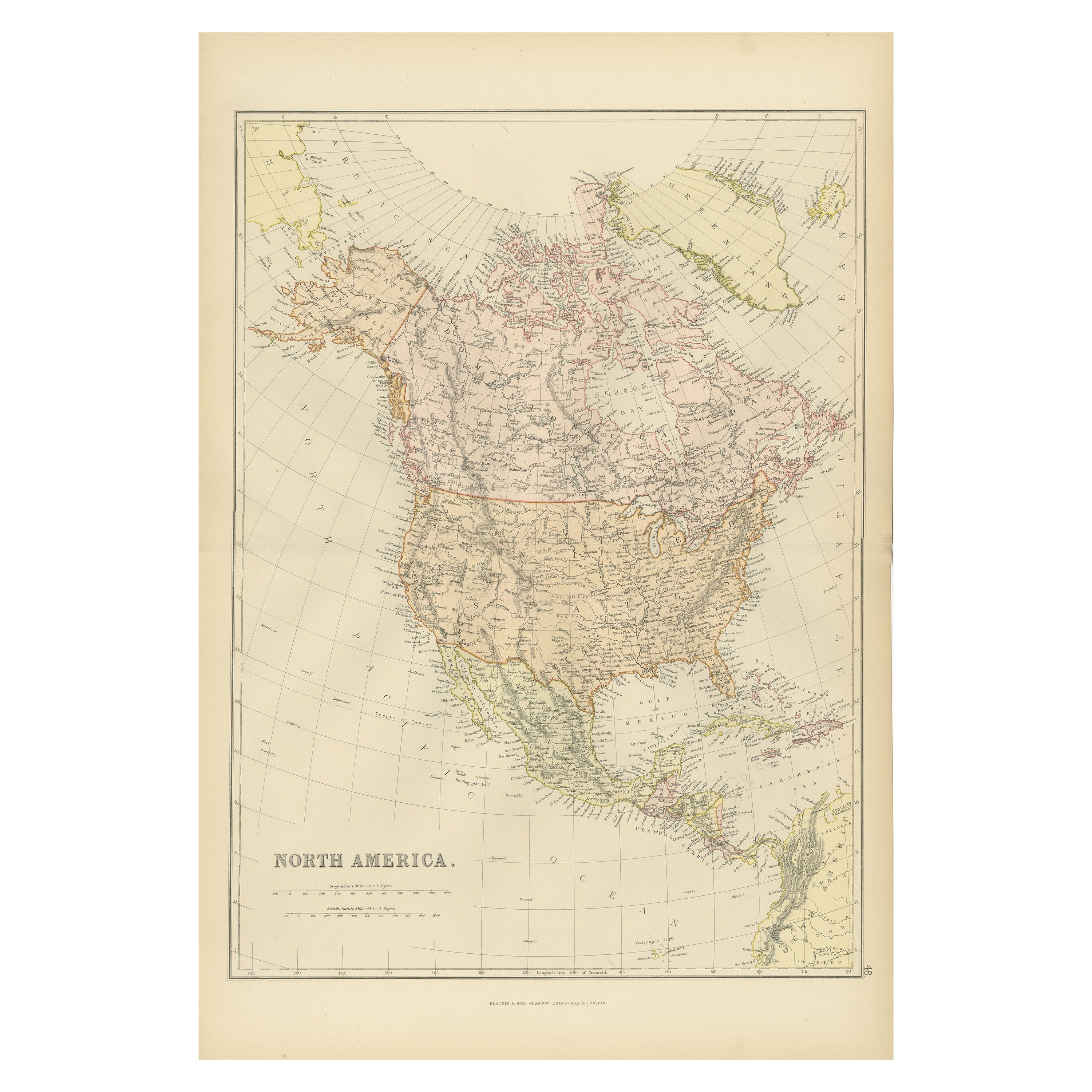
Antique Decorative Coloured Map of North America, 1882
Located in Langweer, NL
This original antique map of North America is from the Blackie & Son Atlas published in 1882. Here are several points of interest about this map:
1. **Political Borders**: The map l...
Category
Antique 1880s Maps
Materials
Paper

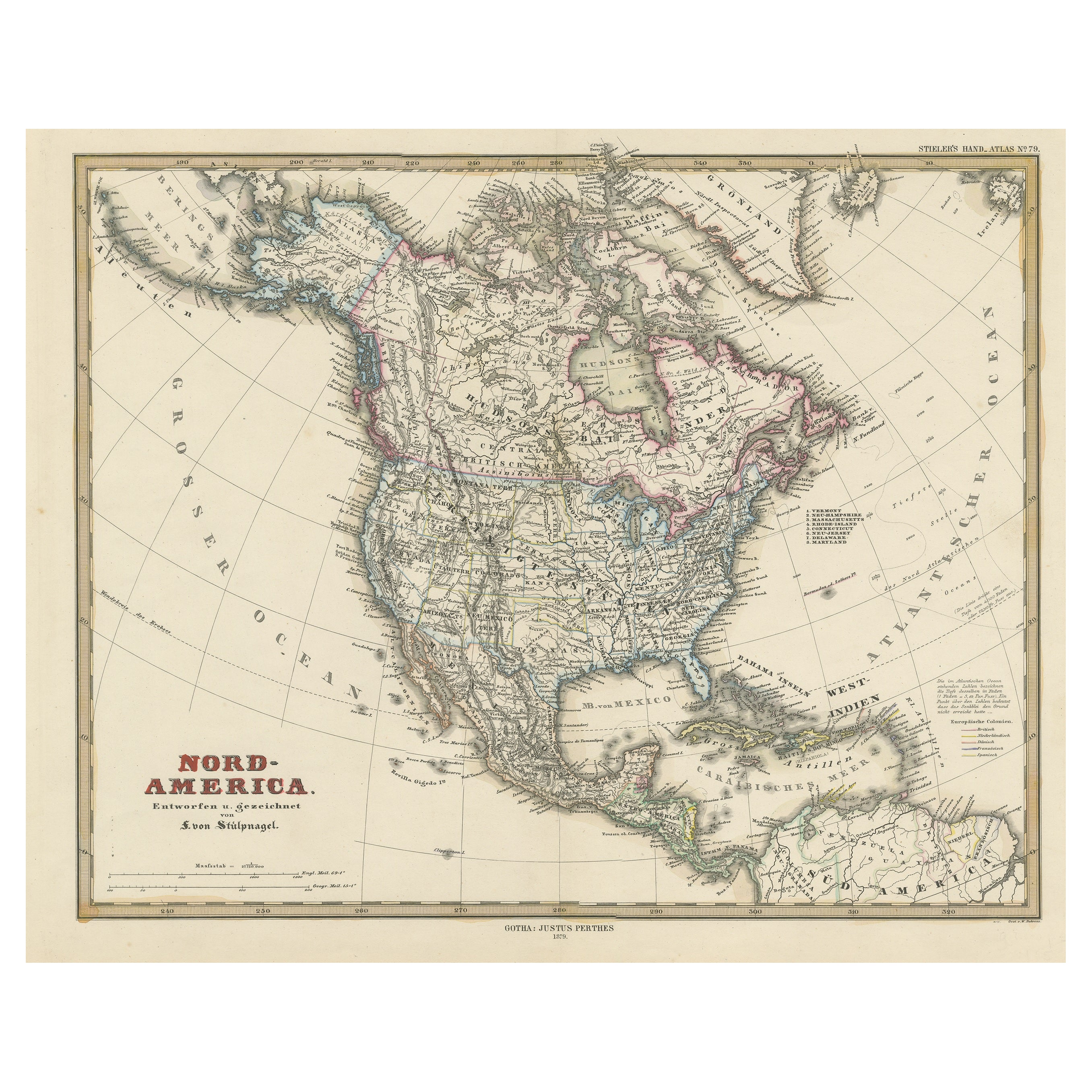
Antique Map with Hand Coloring of North America and the West Indies
Located in Langweer, NL
Original antique map titled 'Nord-America'. Old map of North America and the West Indies.
This map originates from Stielers Handatlas, published circa 1879. Stielers Handatlas (a...
Category
Antique Late 19th Century Maps
Materials
Paper
$557 Sale Price
25% Off
Free Shipping
Antique Map of the United States of North America, c.1882
Located in Langweer, NL
Antique map titled 'United States of North America'. Old map of the United States of North America. This map originates from 'The Royal Atlas of Modern Geography, Exhibiting, in a Se...
Category
Antique 1880s Maps
Materials
Paper

$335 Sale Price
20% Off
You May Also Like
1864 Map of North America, Antique Hand-Colored Map, by Adolphe Hippolyte Dufour
Located in Colorado Springs, CO
Offered is a map of North America entitled Amerique du Nord from 1864. This rare, separately published wall map was produced by Adolphe Hippolyte Dufour. This map includes vibrant an...
Category
Antique 1860s French Maps
Materials
Paper

Large Original Vintage Map of North America, circa 1920
Located in St Annes, Lancashire
Great map of North America
Original color. Good condition
Published by Alexander Gross
Unframed.
Category
Vintage 1920s English Edwardian Maps
Materials
Paper

Early 19th Century Hand Coloured Map of North America by Aaron Arrowsmith
By Aaron Arrowsmith
Located in Hamilton, Ontario
Hand coloured map in French by English cartographer Aaron Arrowsmith (1750–1823) titled "Amerique Septentionale" (North America).
Map size: 9.5" x 8"
Mat size: 20.5" x 14.25".
Category
Antique Early 19th Century English Maps
Materials
Paper

$795 Sale Price
36% Off
Original Antique Map of United States, Grattan and Gilbert, 1843
Located in St Annes, Lancashire
Great map of United States
Drawn and engraved by Archer
Published by Grattan and Gilbert. 1843
Original colour
Unframed.
Category
Antique 1840s English Maps
Materials
Paper

Original Antique Map of North America by Dower, circa 1835
Located in St Annes, Lancashire
Nice map of North America
Drawn and engraved by J.Dower
Published by Orr & Smith. C.1835
Unframed.
Free shipping
Category
Antique 1830s English Maps
Materials
Paper

North America. Century Atlas antique vintage map
Located in Melbourne, Victoria
'The Century Atlas. North America'
Original antique map, 1903.
Central fold as issued. Map name and number printed on the reverse corners.
Sheet 40cm by 29.5cm.
Category
Early 20th Century Victorian More Prints
Materials
Lithograph

More Ways To Browse
Peninsular War
Ukraine Antique Map
Antique Life Buoy
Antique Map Nova Scotia
Antique Map Of Argentina
Antique Maps Of Kansas
Cambodia Antique Map
Magellan Map
Map Ukraine
Mariners Chart
Papua New Guinea Antique Map
Bermuda Map
Scan Globe
Tunisia Antique Map
Antique Map New Orleans
Antique Maps Of Maryland
Gambia Antique Map
Antique Manitoba