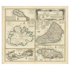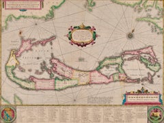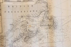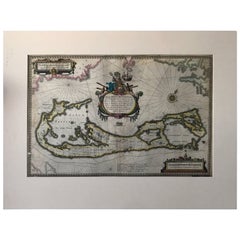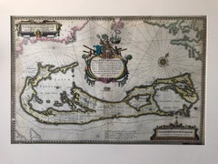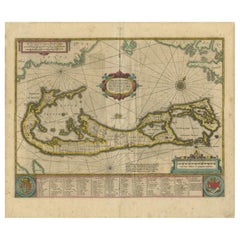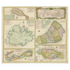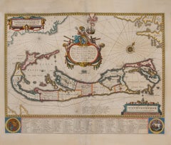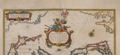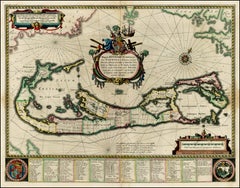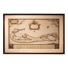
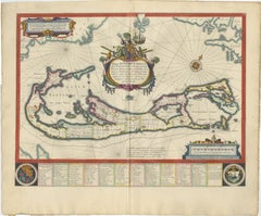
Blaeu Bermuda Map, Somers Isles, Atlantic Chart, Hand-Colored, c.1642
$5,790
H 19.69 in W 23.23 in D 0.01 in
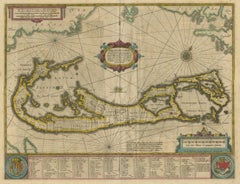
Blaeu Bermuda Map, Somers Isles, Atlantic Chart, Hand-Colored, c.1642
Located in Langweer, NL
Blaeu Bermuda Map, Somers Isles, Atlantic Chart, Hand-Colored, c.1642 Description: A highly decorative and historically significant map of Bermuda, titled Mappa Aestivarum Insularum...
Category
Antique Mid-17th Century Dutch Maps
Materials
Paper