Items Similar to Antique Map of France by T. Bowen, 1785

Want more images or videos?
Request additional images or videos from the seller
1 of 5
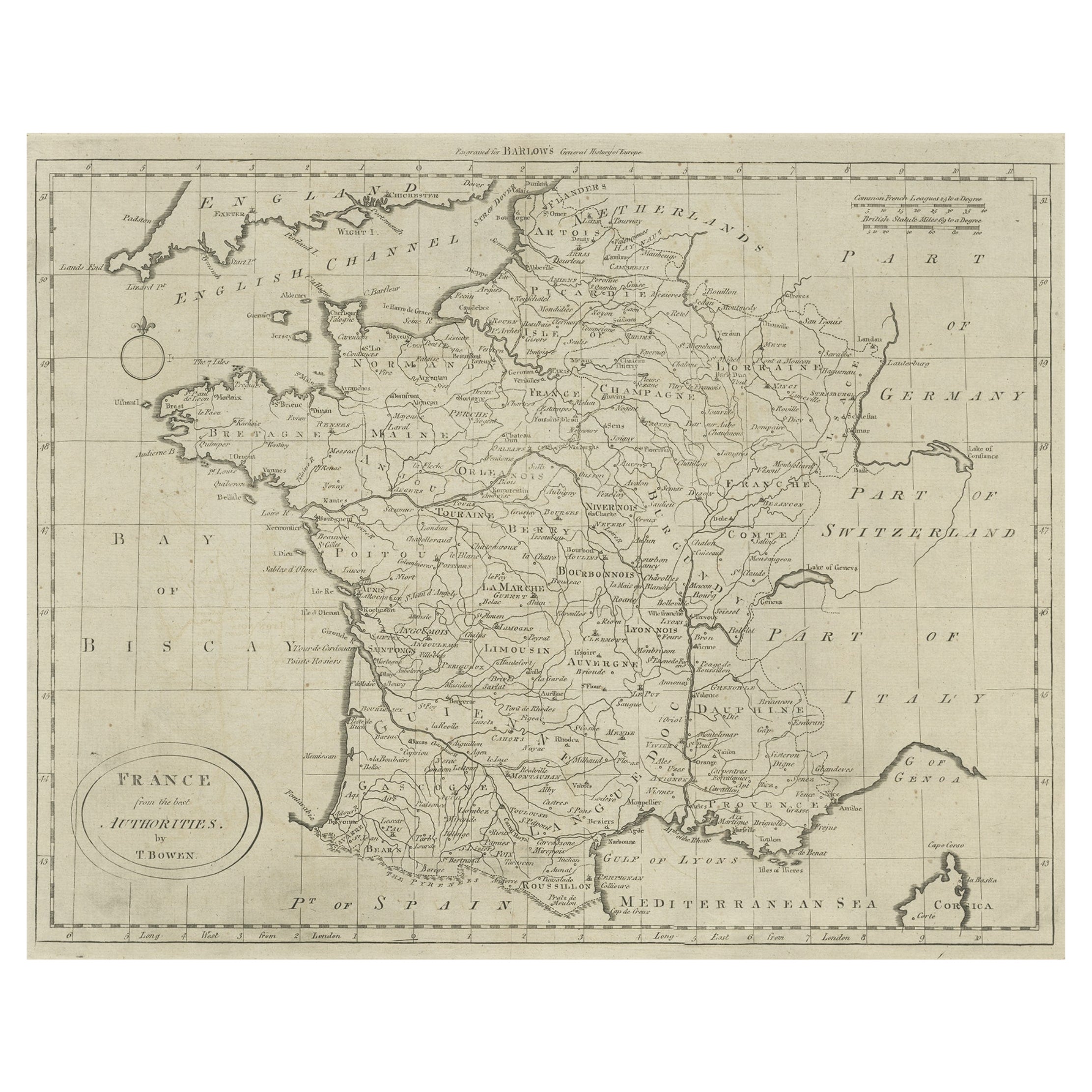
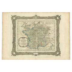
Antique Map of France by T. Bowen, 1785
$150.95
$188.6920% Off
£112.99
£141.2420% Off
€128
€16020% Off
CA$207.75
CA$259.6920% Off
A$231.56
A$289.4520% Off
CHF 121.49
CHF 151.8720% Off
MX$2,827.74
MX$3,534.6820% Off
NOK 1,538.36
NOK 1,922.9520% Off
SEK 1,453.98
SEK 1,817.4820% Off
DKK 974.43
DKK 1,218.0320% Off
About the Item
Decorative antique map of France titled 'A new and accurate map of France, Drawn from the latest Authorities by T. Bowen'. Engraved for Moore’s new and complete collection of Voyages and Travels, 1785.
- Dimensions:Height: 8.98 in (22.8 cm)Width: 14.34 in (36.4 cm)Depth: 0.02 in (0.5 mm)
- Materials and Techniques:
- Period:
- Date of Manufacture:1785
- Condition:Please study image carefully.
- Seller Location:Langweer, NL
- Reference Number:Seller: BG-093811stDibs: LU3054310017573
About the Seller
5.0
Recognized Seller
These prestigious sellers are industry leaders and represent the highest echelon for item quality and design.
Platinum Seller
Premium sellers with a 4.7+ rating and 24-hour response times
Established in 2009
1stDibs seller since 2017
2,517 sales on 1stDibs
Typical response time: <1 hour
- ShippingRetrieving quote...Shipping from: Langweer, Netherlands
- Return Policy
Authenticity Guarantee
In the unlikely event there’s an issue with an item’s authenticity, contact us within 1 year for a full refund. DetailsMoney-Back Guarantee
If your item is not as described, is damaged in transit, or does not arrive, contact us within 7 days for a full refund. Details24-Hour Cancellation
You have a 24-hour grace period in which to reconsider your purchase, with no questions asked.Vetted Professional Sellers
Our world-class sellers must adhere to strict standards for service and quality, maintaining the integrity of our listings.Price-Match Guarantee
If you find that a seller listed the same item for a lower price elsewhere, we’ll match it.Trusted Global Delivery
Our best-in-class carrier network provides specialized shipping options worldwide, including custom delivery.More From This Seller
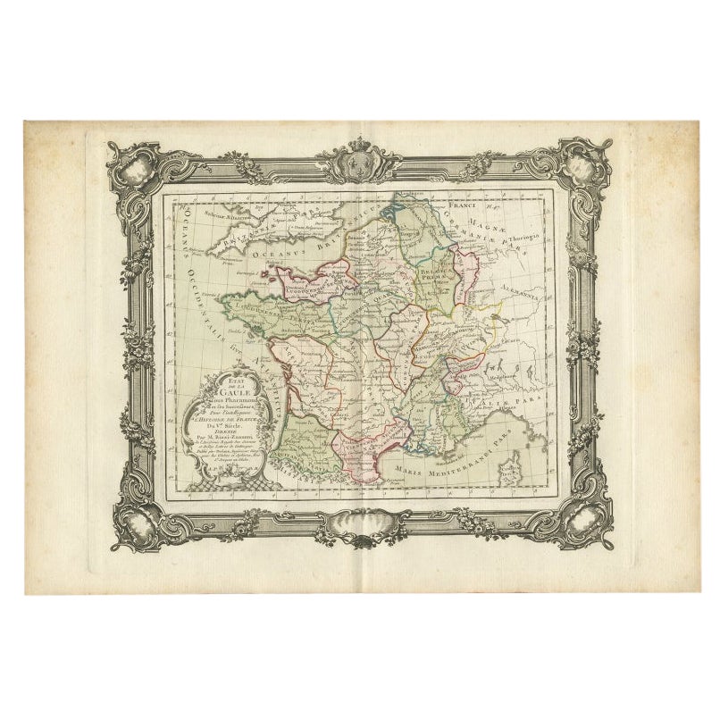
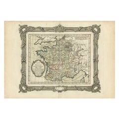
View AllAntique Map of France in the 5th Century by Zannoni, 1765
Located in Langweer, NL
Antique map France titled 'Etat de la Gaule (..)'.
Beautiful old map of France. This map originates from 'Atlas Historique de la France Ancienne et Moderne' by M. Rizzi Zannoni. ...
Category
Antique 18th Century Maps
Materials
Paper
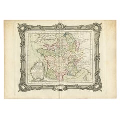
$148 Sale Price
20% Off
Antique Map of France by Bowen, c.1790
Located in Langweer, NL
Antique map titled 'France from the best Authorities'. Original antique map of France. Engraved for Barlow's General history of Europe. Published circa 1790.
Artists and Engraver...
Category
Antique 18th Century Maps
Materials
Paper
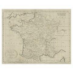
$316 Sale Price
20% Off
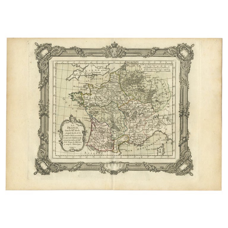
Antique Map of France in the 7th Century by Zannoni, 1765
Located in Langweer, NL
Antique map France titled 'La France sous le VIIe Siècle (..)'. Beautiful old map of France. This map originates from 'Atlas Historique de la France Ancienne et Moderne' by M. Rizzi ...
Category
Antique 18th Century Maps
Materials
Paper
$148 Sale Price
20% Off
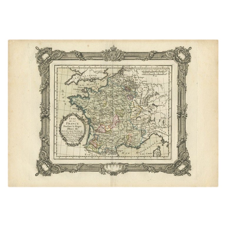
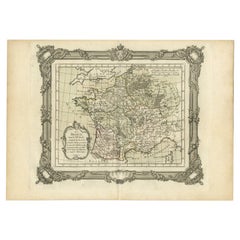
Antique Map of France under the Reign of Henry III by Zannoni, 1765
Located in Langweer, NL
Antique map France titled 'Etat de la France pendant le Règne d'Henri III (..)'. Beautiful old map of France. This map originates from 'Atlas Historique de l...
Category
Antique 18th Century Maps
Materials
Paper
$142 Sale Price
20% Off
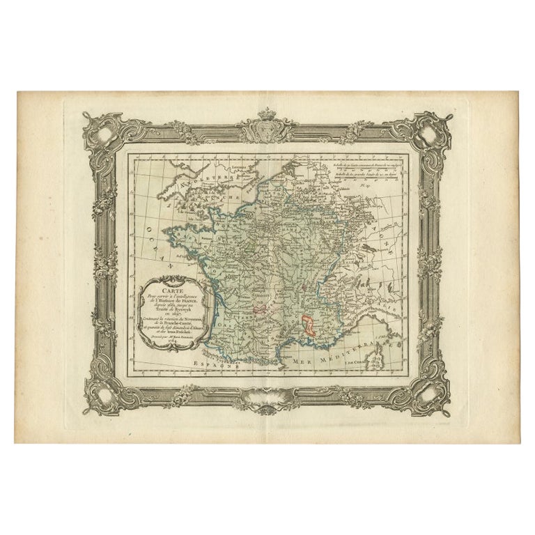
Antique Map of France up-to the Peace of Ryswick by Zannoni, 1765
Located in Langweer, NL
Antique map France titled 'Carte pour servir à l'intelligence de l'Histoire de France (..)'. Beautiful old map of France. This map originates from 'Atlas Historique de la France Anci...
Category
Antique 18th Century Maps
Materials
Paper
$139 Sale Price
20% Off
Antique Map of ancient France by Zannoni, 1765
Located in Langweer, NL
Antique map France titled 'Galliae Veteris (..)'. Beautiful old map of France. This map originates from 'Atlas Historique de la France Ancienne et Moderne' ...
Category
Antique 18th Century Maps
Materials
Paper

$298 Sale Price
20% Off
You May Also Like
Map of France - Etching - 1820
Located in Roma, IT
Map of France is an Original Etching realized by an unknown artist of 19th century in 1820.
Very good condition on two sheets of white paper joined at t...
Category
1820s Modern Figurative Prints
Materials
Etching

1771 Bonne Map of Poitou, Touraine and Anjou, France, Ric.a015
Located in Norton, MA
1771 Bonne Map of Poitou,
Touraine and Anjou, France
Ric.a015
1771 Bonne map of Potiou, Touraine and Anjou entitled "Carte des Gouvernements D'Anjou et du Saumurois, de la Touraine, du Poitou,du Pays d'aunis, Saintonge?Angoumois,"
Carte des gouvernements d'Anjou et du Saumurois, de la Touraine, du Poitou, du Pays d'Aunis, Saintonge-Angoumois. Projettee et assujettie au ciel par M. Bonne, Hyd. du Roi. A Paris, Chez Lattre, rue St. Jacques a la Ville de Bord(ea)ux. Avec priv. du Roi. 1771. Arrivet inv. & sculp., Atlas moderne ou collection de cartes sur toutes...
Category
Antique 17th Century Unknown Maps
Materials
Paper

Large 19th Century Map of France
Located in Pease pottage, West Sussex
Large 19th Century Map of France.
Remarkable condition, with a pleasing age worn patina.
Recently framed.
France Circa 1874.
Category
Antique Late 19th Century French Maps
Materials
Linen, Paper

Original Antique Map of Europe, Arrowsmith, 1820
Located in St Annes, Lancashire
Great map of Europe
Drawn under the direction of Arrowsmith.
Copper-plate engraving.
Published by Longman, Hurst, Rees, Orme and Brown, 1820
...
Category
Antique 1820s English Maps
Materials
Paper

Original Antique Map of Switzerland, Engraved By Barlow, Dated 1807
Located in St Annes, Lancashire
Great map of Switzerland
Copper-plate engraving by Barlow
Published by Brightly & Kinnersly, Bungay, Suffolk.
Dated 1807
Unframed.
Category
Antique Early 1800s English Maps
Materials
Paper

Antique French Map of Asia Including China Indoneseia India, 1783
Located in Amsterdam, Noord Holland
Very nice map of Asia. 1783 Dedie au Roy.
Additional information:
Country of Manufacturing: Europe
Period: 18th century Qing (1661 - 1912)
Condition: Overall Condition B (Good Used)...
Category
Antique 18th Century European Maps
Materials
Paper

$648 Sale Price
20% Off
More Ways To Browse
Antique Maps Of Germany
Map Of Britain
Map Of Africa
London Antique Maps
Sell Antiques
Antique World Globes
Used Law Office Furniture
Antique Map Of England
Antique Map Paris
Gold Maps
16th Century German
East India Company
China Map
17th Century World Map
Antique Maps Of Britain
Antique Furniture Edinburgh
Antique English Maps
Map Of India