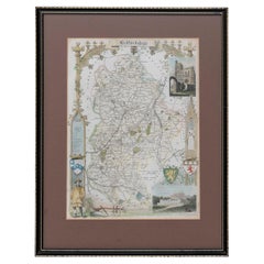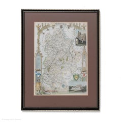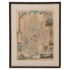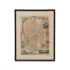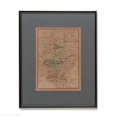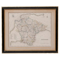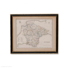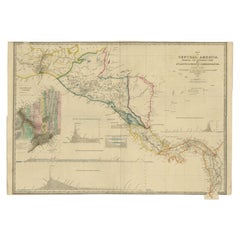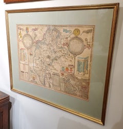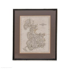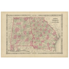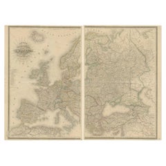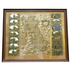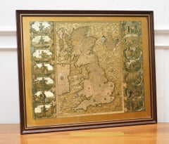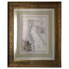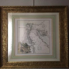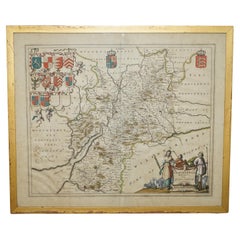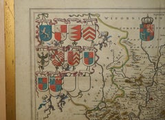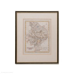
Map Huntingdonshire R Scott Archibald Fullarton & Co Glasgow
Located in BUNGAY, SUFFOLK
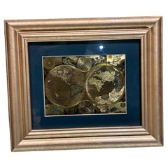
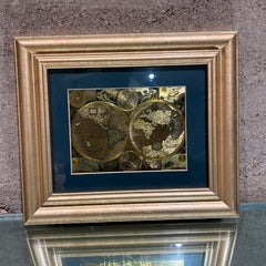
Measure: 40cm 16" high Framed in a modern copy of a black and gold map frame just purchased more information to follow
Category
Antique 19th Century English Victorian Maps
Materials
Paper