Items Similar to Gold Rush Era Masterpiece: The Tallis & Rapkin Rare Map of Pre-Queensland, 1851


Want more images or videos?
Request additional images or videos from the seller
1 of 8
Gold Rush Era Masterpiece: The Tallis & Rapkin Rare Map of Pre-Queensland, 1851
About the Item
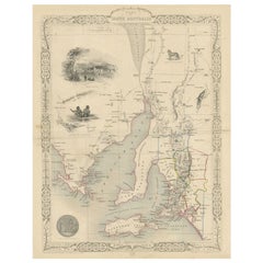
The image is an original historical map of Australia from the year 1851, created by John Rapkin with illustrations by J. Marchant and engravings by J. B. Allen. The map was published by John Tallis & Company, which was one of the most renowned cartographic publishing firms in the 19th century.
An attractive steel engraved map of the continent with good detail along the coastlines that contrasts dramatically with the complete lack of detail in the interior. Tallis filled the blank interior with tables listing county names. The surrounding vignettes include Natives of the Tribe of Bogan, Australian Parrots and Cockatoo, Natives of Australia Felix, Kangaroos, and Sydney.
Here are some key descriptions and interesting facts about the map:
1. **Age and Rarity**: The map dates back to 1851, which is a significant period for Australia as it was just a few years after the discovery of gold in 1851. This would make it a valuable collector's item due to its historical context.
2. **Absence of Queensland**: Notably, the map does not include Queensland, which indicates it was created before Queensland was established as a separate colony in 1859. This highlights the evolving political boundaries of Australia during the 19th century.
3. **Goldfields Marked**: The map shows the locations of goldfields, which is particularly interesting since the 1850s was the decade of the Australian gold rushes. This detail would have been of immense practical importance at the time and now serves as a historical record of the early economic drivers in the region.
4. **Illustrations**: The map features illustrations by J. Marchant, which likely depict scenes typical of the era, such as local wildlife like kangaroos, and cultural images, such as depictions of Indigenous Australians.
5. **Engravings**: The engravings by J. B. Allen add a layer of craftsmanship to the map, making it not just a navigational tool but also a piece of art.
6. **Publisher's Prestige**: John Tallis & Company was known for their detailed and decorative maps, which often included vignettes and ornamental borders. Their work is well-regarded by map collectors and historians.
7. **Artistry and Accuracy**: The combination of accurate cartographic information and artistic embellishments make this map an exemplary piece from the mid-19th century.
This title highlights the map's historical significance related to the Gold Rush, the absence of Queensland, the prestigious creators, and its status as a collectible item. It would likely attract collectors interested in unique historical documents, maps, and Australian history.
- Dimensions:Height: 104.34 in (265 cm)Width: 14.26 in (36.2 cm)Depth: 0 in (0.02 mm)
- Materials and Techniques:Paper,Engraved
- Period:
- Date of Manufacture:1851
- Condition:Good, with some minor soiling mostly in the blank margins. Lower border cut short and not straight, but not affecting the image. Study the scans carefully.`.
- Seller Location:Langweer, NL
- Reference Number:Seller: BG-137281stDibs: LU3054338602692
About the Seller
5.0
Platinum Seller
These expertly vetted sellers are 1stDibs' most experienced sellers and are rated highest by our customers.
Established in 2009
1stDibs seller since 2017
1,922 sales on 1stDibs
Typical response time: <1 hour
- ShippingRetrieving quote...Ships From: Langweer, Netherlands
- Return PolicyA return for this item may be initiated within 14 days of delivery.
Auctions on 1stDibs
Our timed auctions are an opportunity to bid on extraordinary design. We do not charge a Buyer's Premium and shipping is facilitated by 1stDibs and/or the seller. Plus, all auction purchases are covered by our comprehensive Buyer Protection. Learn More
More From This SellerView All
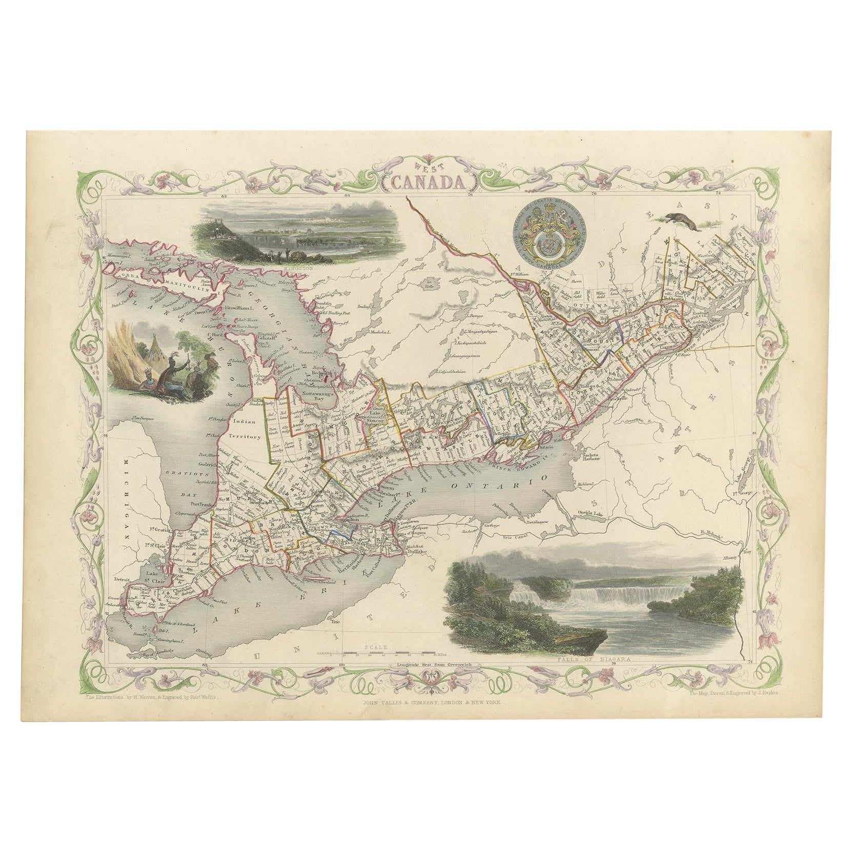
- Engraving by Tallis and Rapkin of Map of the West Indies in The Caribbean, 1851Located in Langweer, NLJohn Tallis' 1851 map of the West Indies stands as a striking example of his renowned cartographic work. With meticulous detail and artistic embellishments, this map offers a compreh...Category
Antique Mid-19th Century Maps
MaterialsPaper
- Antique Map of South Australia by Tallis, 1851By Thomas KitchinLocated in Langweer, NLAntique map Australia titled 'Part of South Australia'. Decorative map of part of South Australia, surrounded by illustrations of Adelaide, natives on a catamaran, an Australian dog and a nymphicus bird illustrated. Originates from 'The Illustrated Atlas, And Modern History Of The World Geographical, Political, Commercial & Statistical, Edited By R. Montgomery Martin'. Published; John Tallis London, New York, Edinburgh & Dublin. 1851. Drawn and Engraved by J. Rapkin. Artists and Engravers: John Tallis (1817-1876) was a British map...Category
Antique 19th Century Maps
MaterialsPaper
- Antique Map of Switzerland by J. Tallis, circa 1851Located in Langweer, NLA decorative and detailed mid-19th century map of Switzerland which was drawn and engraved by J. Rapkin (vignettes by A. H. Wray & J. B. Allen) and published in John Tallis's Illustr...Category
Antique Mid-19th Century Maps
MaterialsPaper
- Antique Map of Belgium by J. Tallis, circa 1851Located in Langweer, NLA highly decorative and detailed mid-19th century map of Belgium which was drawn and engraved by J. Rapkin (vignettes by J. Marchant and J. B. Allen) an...Category
Antique Mid-19th Century Maps
MaterialsPaper
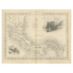
- Crossroads of Empires: A John Tallis Map of the Isthmus of Panama, 1851Located in Langweer, NLThe Tallis map of the Isthmus of Panama is a beautifully detailed work, characteristic of the maps produced by John Tallis & Company, which was one of the last cartographic firms to ...Category
Antique 1850s Maps
MaterialsPaper
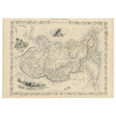
- Antique Map of Russia in Asia by Tallis, c.1851Located in Langweer, NLAntique map titled 'Russia in Asia'. Map of Russia in Asia. Showing vignettes of a polar hunting scene, Skorskarskoi Pagost, Troitsk and Kamchatkan Dogs. Originates from 'The Illustrated Atlas, And Modern History Of The World Geographical, Political, Commercial & Statistical, Edited By R. Montgomery Martin'. Published; John Tallis London, New York, Edinburgh & Dublin. 1851. Drawn and Engraved by J. Rapkin. Artists and Engravers: John Tallis (1817-1876) was a British map...Category
Antique 19th Century Maps
MaterialsPaper


You May Also Like
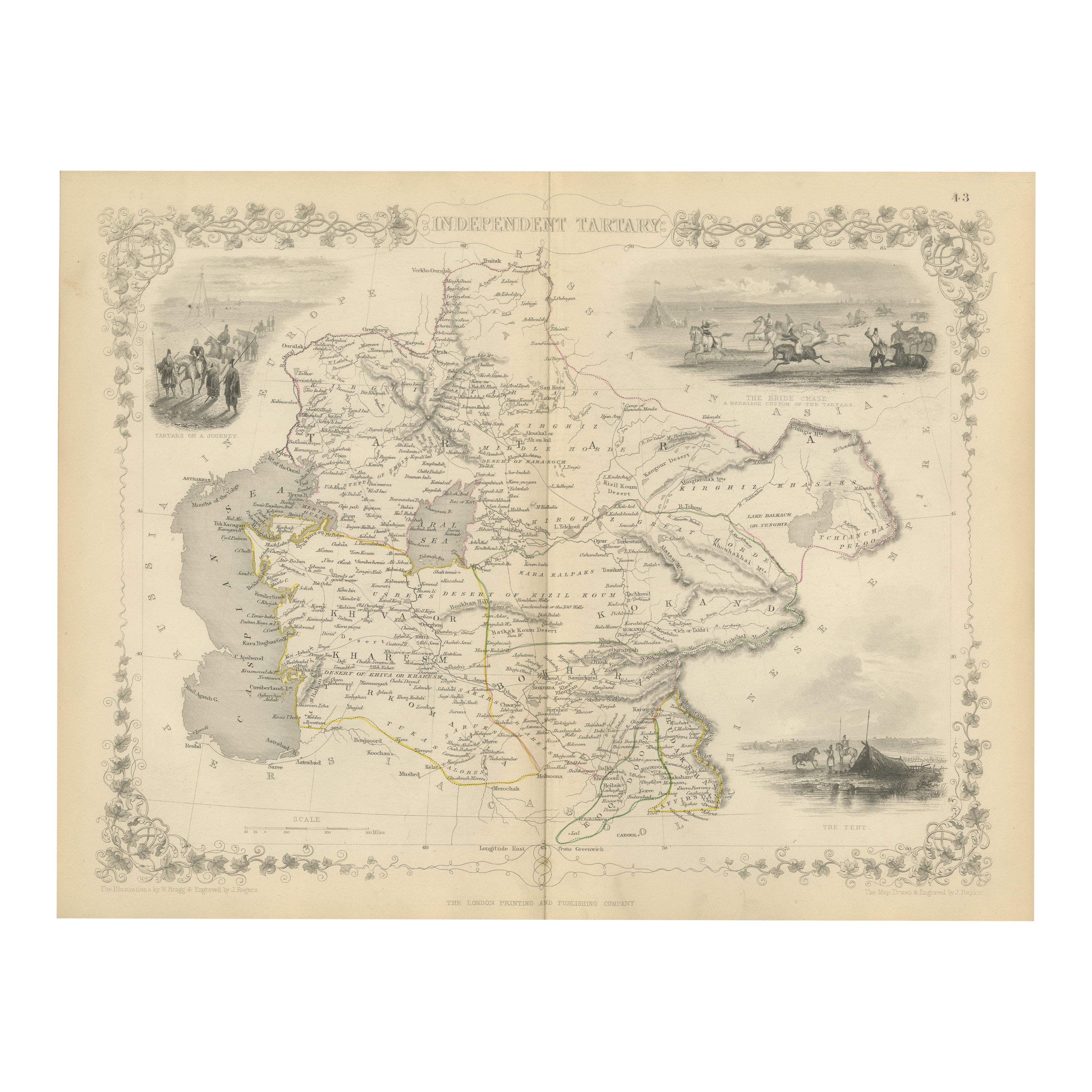
- 1851 Map of "Independent Tartary", Ric. R018Located in Norton, MA1851 Map of Independent Tartary "Russia" Ric.r018 A highly decorative 1851 map of Independent Tartary by John Tallis and John Rapkin. Covers the regions between the Caspian Sea and Lake Bakquash and between Russia and Afghanistan. These include the ancient Silk Route kingdoms of Khiva, Tartaria, Kokand, and Bokhara. Today this region roughly includes Kazakhstan, Uzbekistan, Turkmenistan, Kyrgyzstan, and Tajikistan. This wonderful map offers a wealth of detail for anyone with an interest in the Central Asian portion of the ancient Silk Road. Identifies various caravan routes, deserts, wells, and stopping points, including the cities of Bokhara and Samarkand. Three vignettes by W. Bragg decorate the map, these including an image of Tartars on a Journey, a horseback Bride Chase, and a tartar camp site. Surrounded by a vine motif border. Engraved by J. Rapkin for John Tallis's 1851 Illustrated Atlas . Tartary Antique Map...Category
Antique 19th Century Unknown Maps
MaterialsPaper
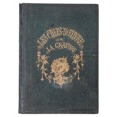
- "The Masterpieces of Engraving"By Eugene Maxime ValléeLocated in Alessandria, PiemonteO/7821 - interesting French book that I saved from ruin: they are usually dismembered to make prints to sell individually. This one is intact, with its 24 printed plates. Nice to ...Category
Antique Mid-19th Century French Other Books
MaterialsPaper
- "San Francisco, Upper California” 1851 Antique Map of San FranciscoLocated in Colorado Springs, COThis is a pictorial lettersheet view of the city and harbor of San Francisco. This lithograph was printed on grey wove paper, across a double sheet, by famed lithographers Britton & ...Category
Antique 1850s American Prints
MaterialsPaper
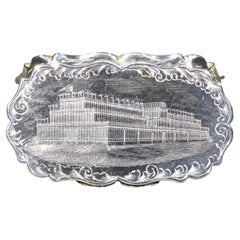
- A Fine & Rare Sterling Silver Snuff Box Made For The Great Exhibition of 1851By Foxall & Co.Located in Ottawa, OntarioA fine and rare 19th century sterling silver snuff box made specifically for the Great Exhibition of 1851, held at the Crystal Palace in Londo...Category
Antique Mid-19th Century British Victorian Snuff Boxes and Tobacco Boxes
MaterialsSterling Silver
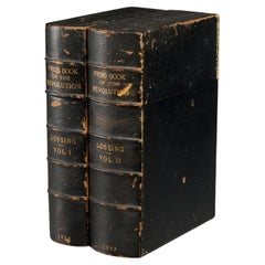
- The Pictorial Field-Book of the Revolution, 1851, (2) vols., Benson J. LossingBy S. Harper BrothersLocated in Morristown, NJ(2) vols., by Benson J. Lossing. ...Illustrations, by Pen and Pencil, of the History, Biography, Scenery, Relics, and Traditions of the War for Independence. Two volumes, the first i...Category
Antique 1850s American Victorian Books
MaterialsLeather, Paper
- Map of the Republic of GenoaLocated in New York, NYFramed antique hand-coloured map of the Republic of Genoa including the duchies of Mantua, Modena, and Parma. Europe, late 18th century. Dimension: 25...Category
Antique Late 18th Century European Maps