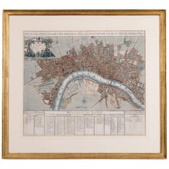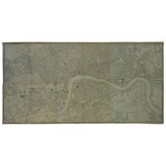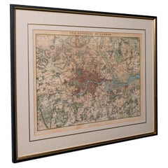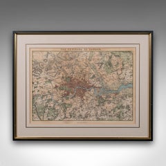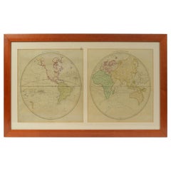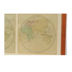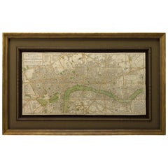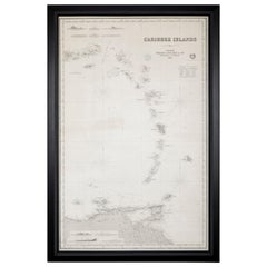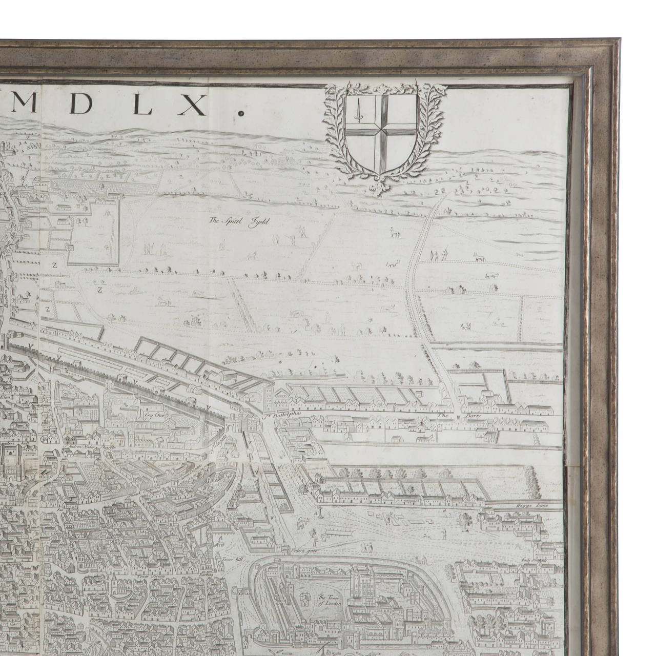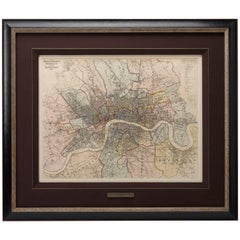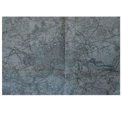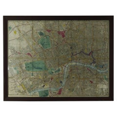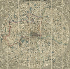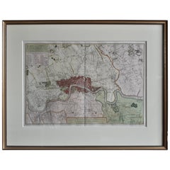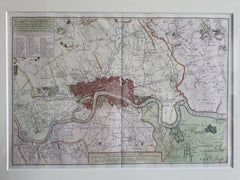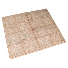

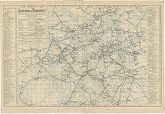
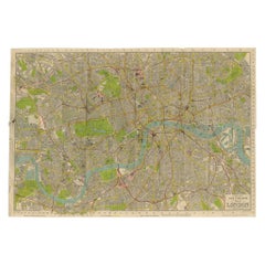
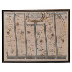
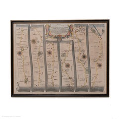
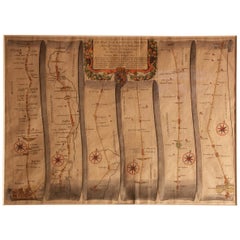
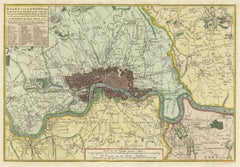
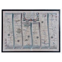
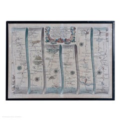
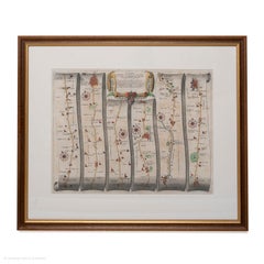
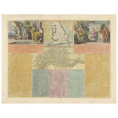
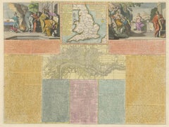
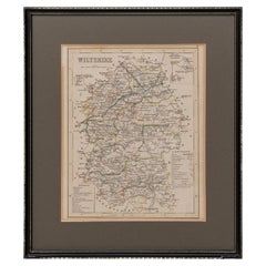
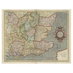
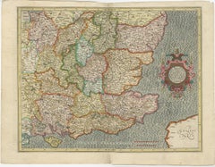
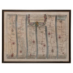
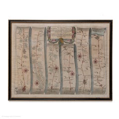
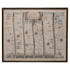
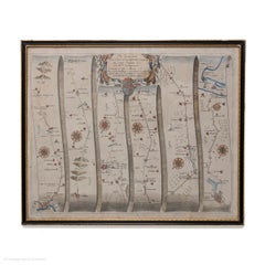
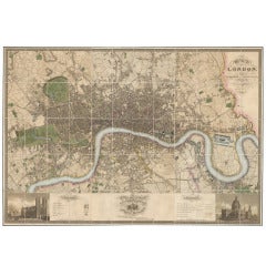
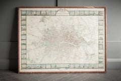
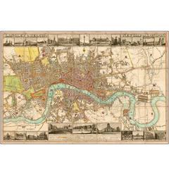
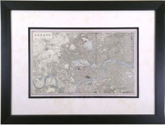
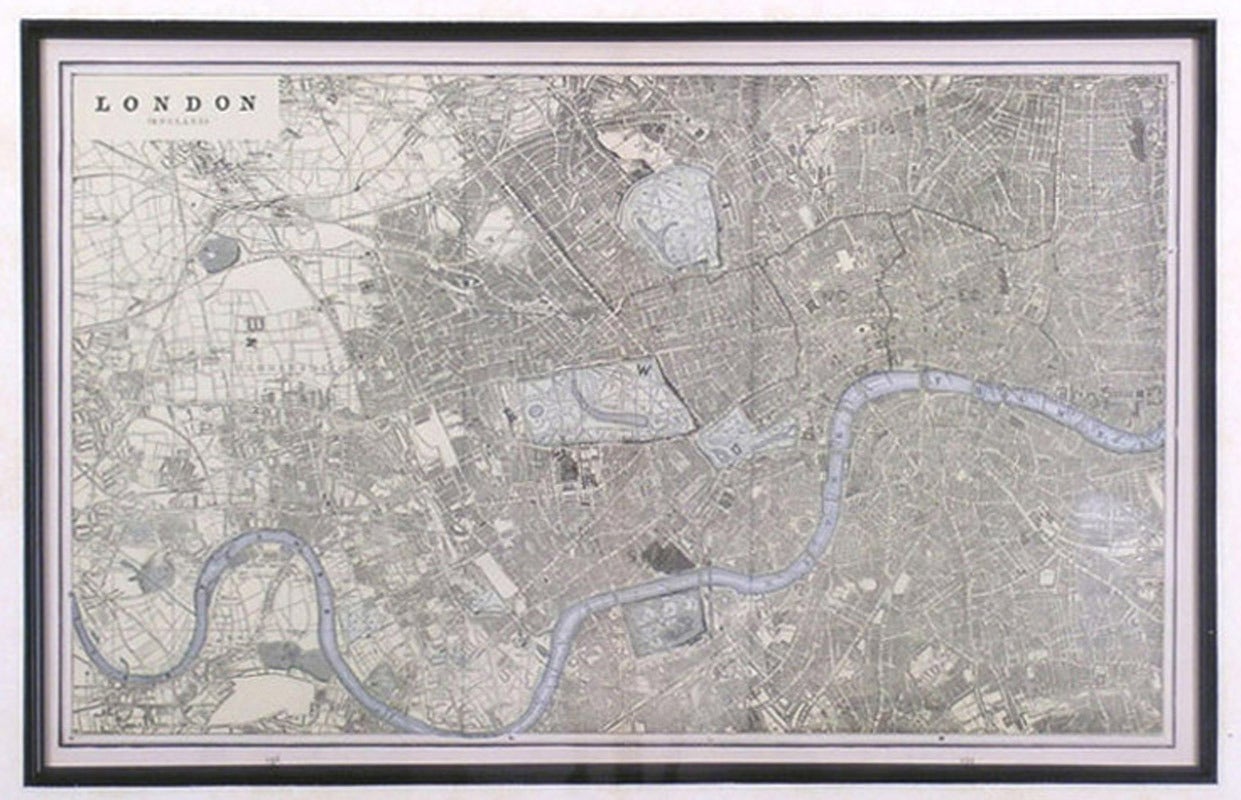
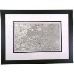
Antique Folding London Map, English, Cartography, Historic, Georgian, Dated 1783
$787Sale Price|20% Off
H 6.3 in W 6.11 in D 0.6 in
Antique Folding London Map, English, Cartography, Historic, Georgian, Dated 1783
Located in Hele, Devon, GB
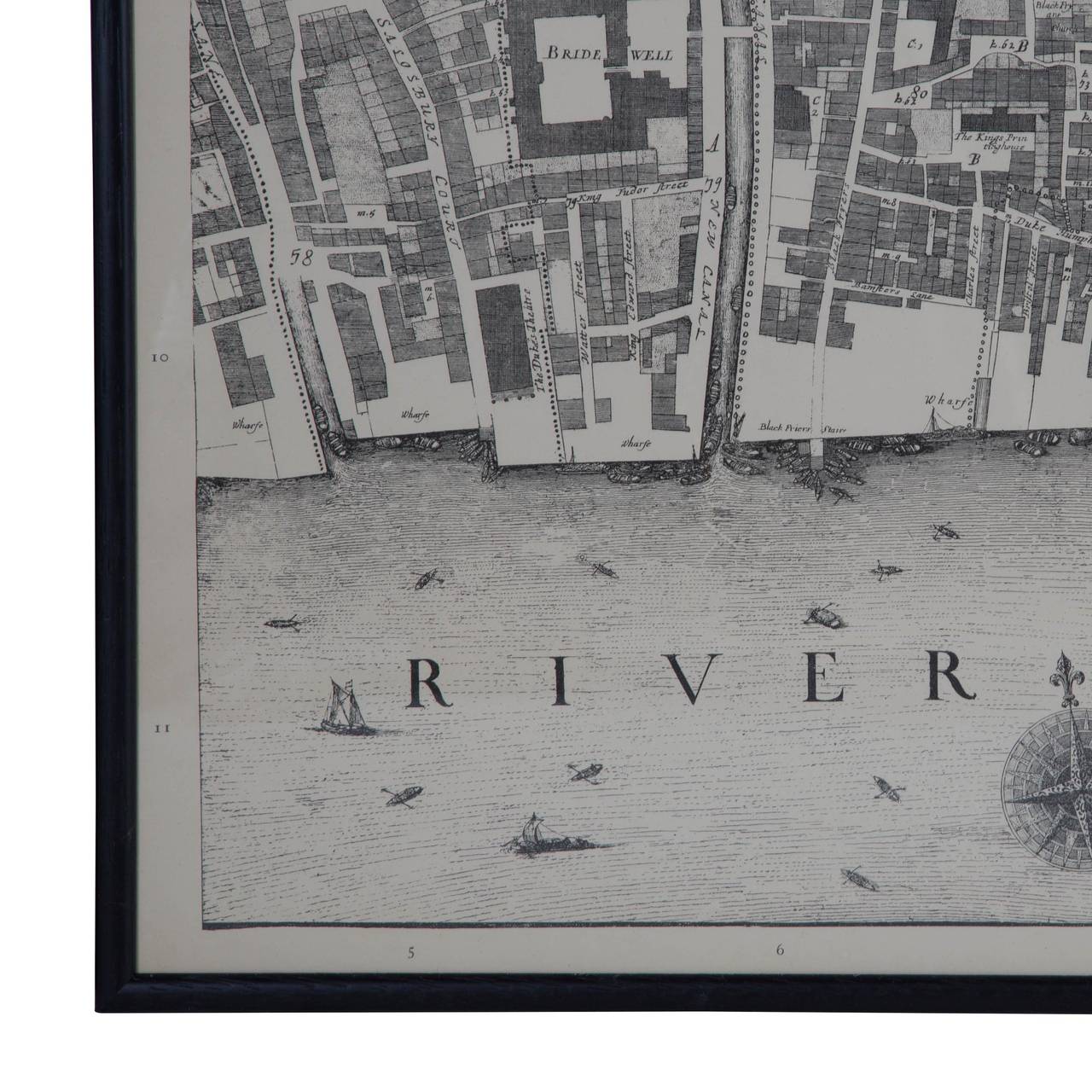
This is an antique folding London map. An English, paper on linen cartographical study of the London metropolis and the surrounding area, published in the mid Georgian period, dated ...
Category
Late 18th Century British Georgian London Antique Maps
Materials
Linen, Paper


![Carte de l'entree de la Tamise avec les bancs, passes, isles et costes [...].](https://a.1stdibscdn.com/archivesE/upload/a_5923/1508836574945/cb3808_master.jpg?width=240)