Items Similar to Antique Folding London Map, English, Cartography, Historic, Georgian, Dated 1783
Want more images or videos?
Request additional images or videos from the seller
1 of 13
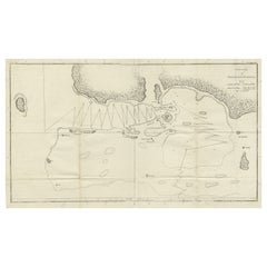
Antique Folding London Map, English, Cartography, Historic, Georgian, Dated 1783
About the Item
This is an antique folding London map. An English, paper on linen cartographical study of the London metropolis and the surrounding area, published in the mid Georgian period, dated 1783.
Fascinating cartographic record of London in the late 18th century
Displays a desirable aged patina and in delicate, but legible order
Published on paper and mounted upon linen for posterity
Across sixteen square sections, the map gently folds into one
City of London accentuated in red, with the Thames and other rivers in light blue
Similarly, London's parks are accentuated in green
Annotated for County, Town and Borough names, as they stood in September 1873
Published by John Wallis of 16 Ludgate Street London, at a scale of 69.75 statute miles to a degree of latitude
This is a superb antique folding map of London, with excellent detail of how the capital and the South East stood in the 1780s. Of delicate age, but delightfully legible, the map is ideal for framing. Delivered ready to enjoy.
Dimensions:
Folded Width: 15.5cm (6'')
Folded Depth: 1.5cm (.5'')
Folded Height: 16cm (6.25'')
Unfolded Width: 64.5cm (25.5'')
Unfolded Depth: 0.5cm (.25'')
Unfolded Height: 58cm (22.75'')
- Dimensions:Height: 6.3 in (16 cm)Width: 6.11 in (15.5 cm)Depth: 0.6 in (1.5 cm)
- Style:Georgian (Of the Period)
- Materials and Techniques:
- Place of Origin:
- Period:
- Date of Manufacture:1783
- Condition:Wear consistent with age and use. Presented in delicate but legible antique condition.
- Seller Location:Hele, Devon, GB
- Reference Number:
About the Seller
5.0
Platinum Seller
These expertly vetted sellers are 1stDibs' most experienced sellers and are rated highest by our customers.
Established in 2005
1stDibs seller since 2017
837 sales on 1stDibs
Typical response time: 1 hour
- ShippingRetrieving quote...Ships From: Hele, Devon, United Kingdom
- Return PolicyA return for this item may be initiated within 14 days of delivery.
More From This SellerView All
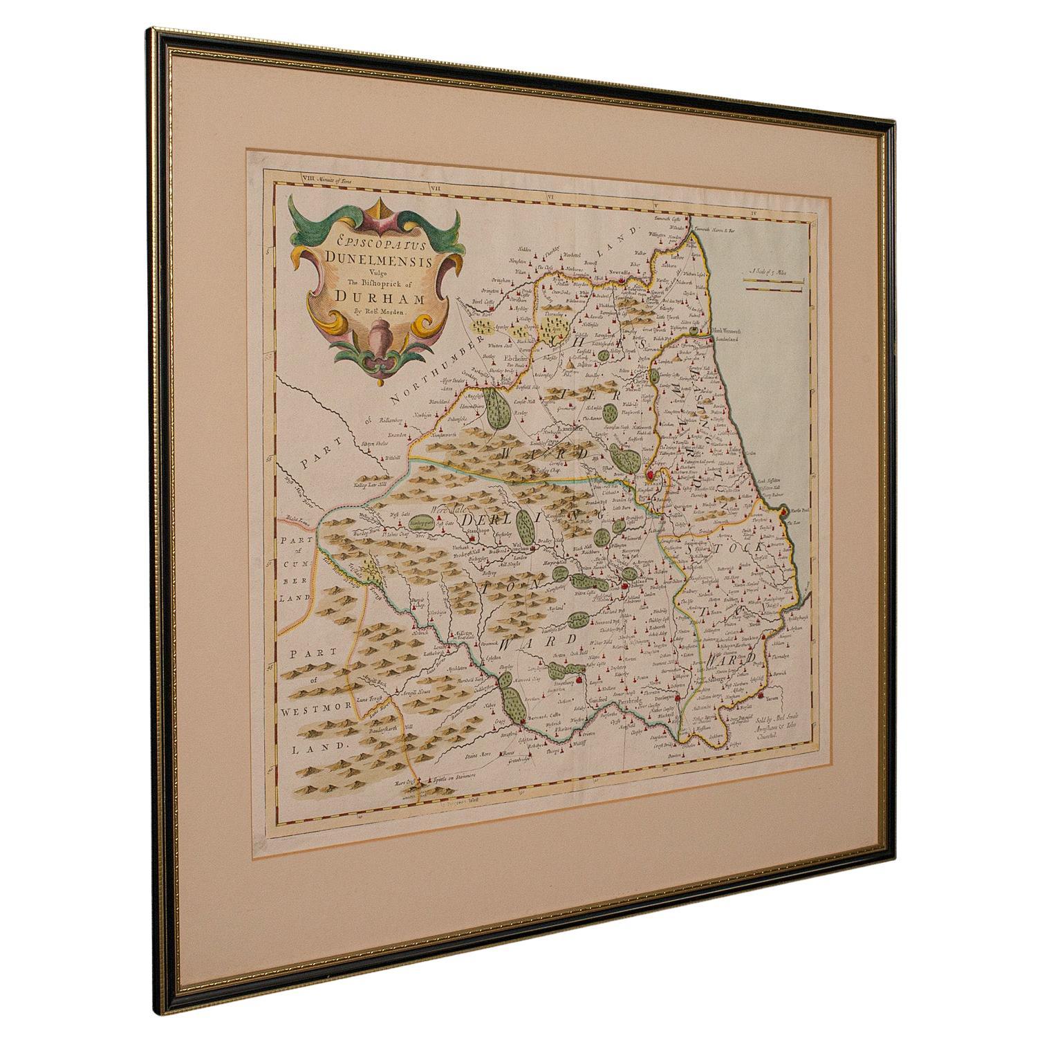
- Antique Lithography Map, Durham, English, Framed, Cartography, Early GeorgianLocated in Hele, Devon, GBThis is an antique lithography map of Durham. An English, framed engraving of cartographic interest, dating to the early 18th century and later, circa 1720. Superb lithography of Du...Category
Antique Early 18th Century British Georgian Maps
MaterialsWood
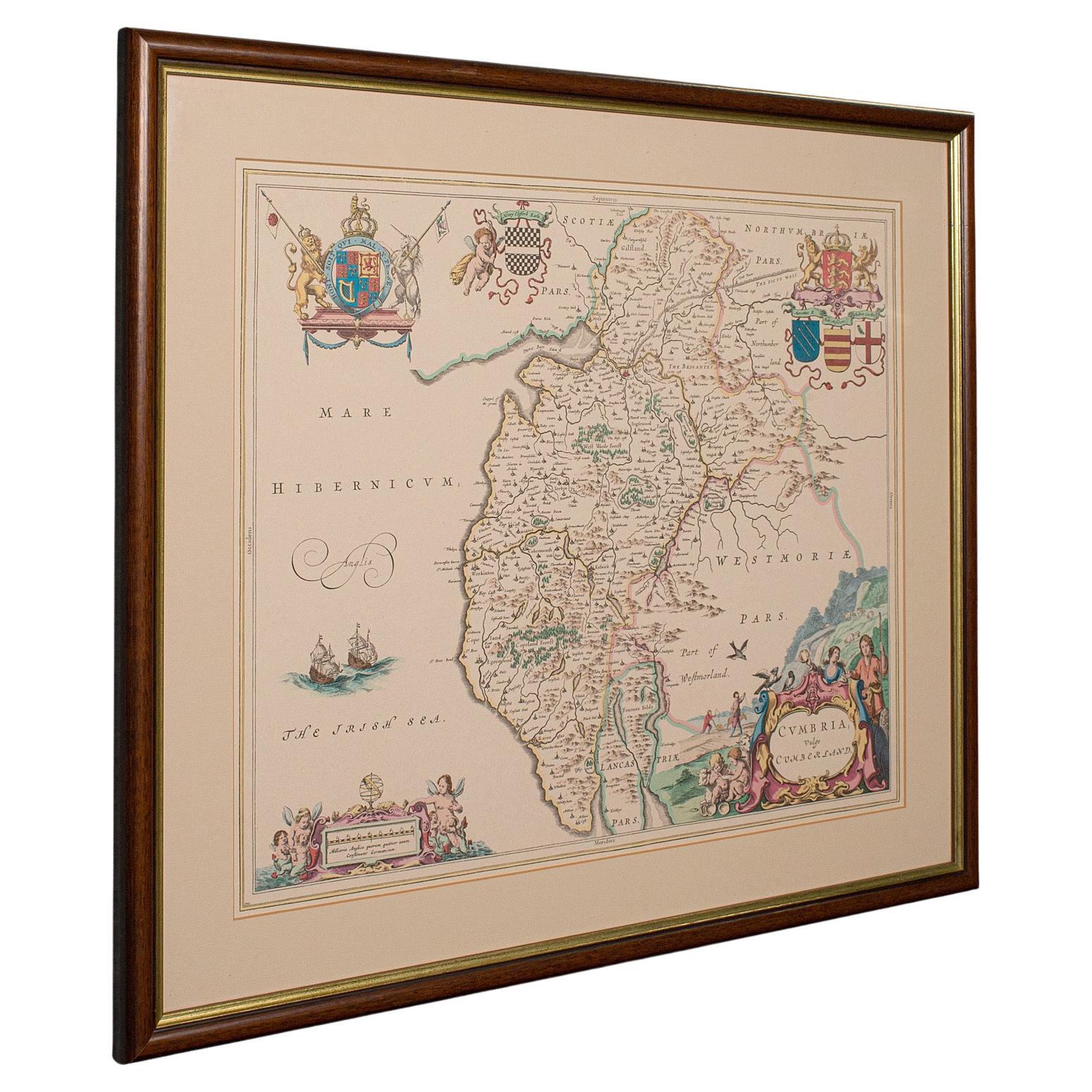
- Antique Lithography Map, Cumbria, English, Framed Cartography Interest, GeorgianLocated in Hele, Devon, GBThis is an antique lithography map of Cumbria. An English, framed engraving of cartographic interest, dating to the early 18th century and later. ...Category
Antique Early 18th Century British Georgian Maps
MaterialsWood
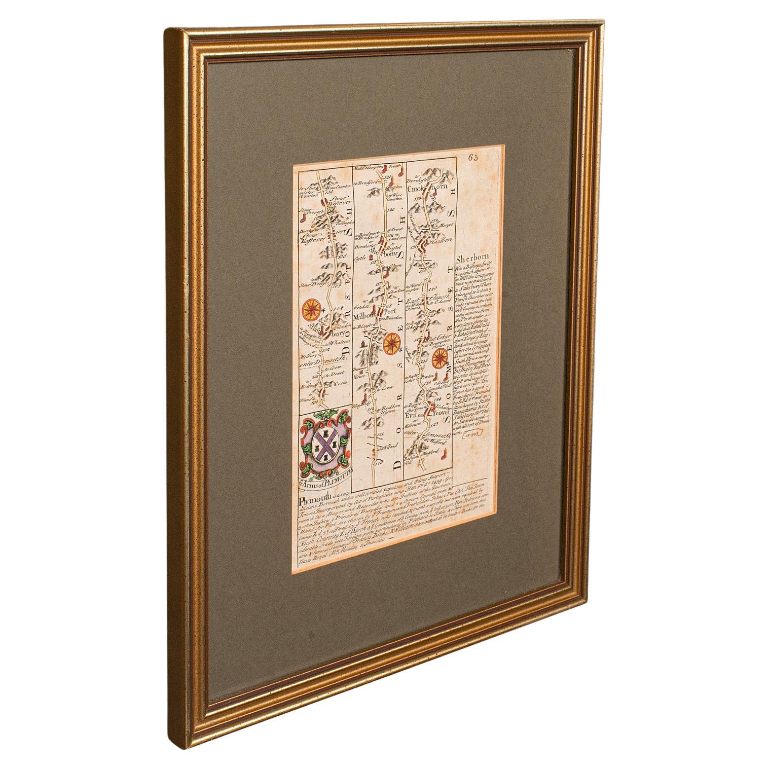
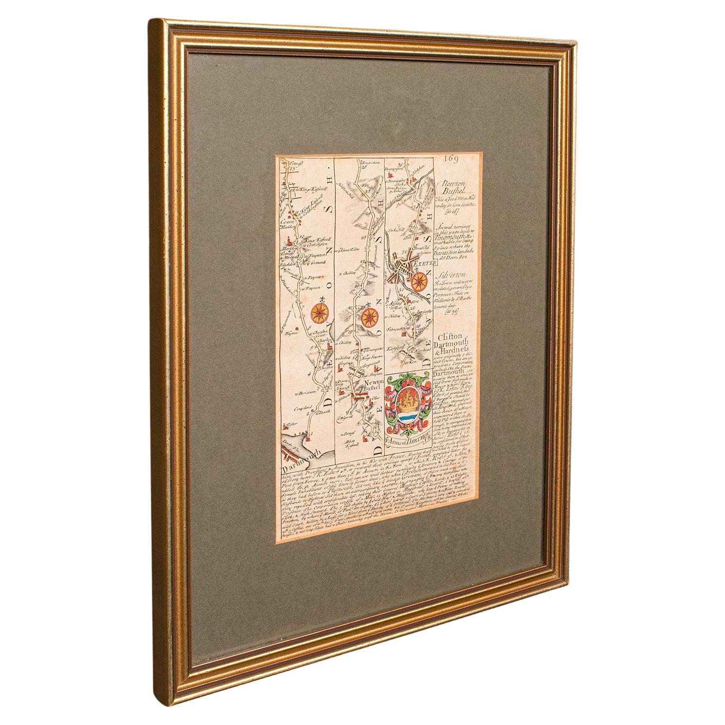
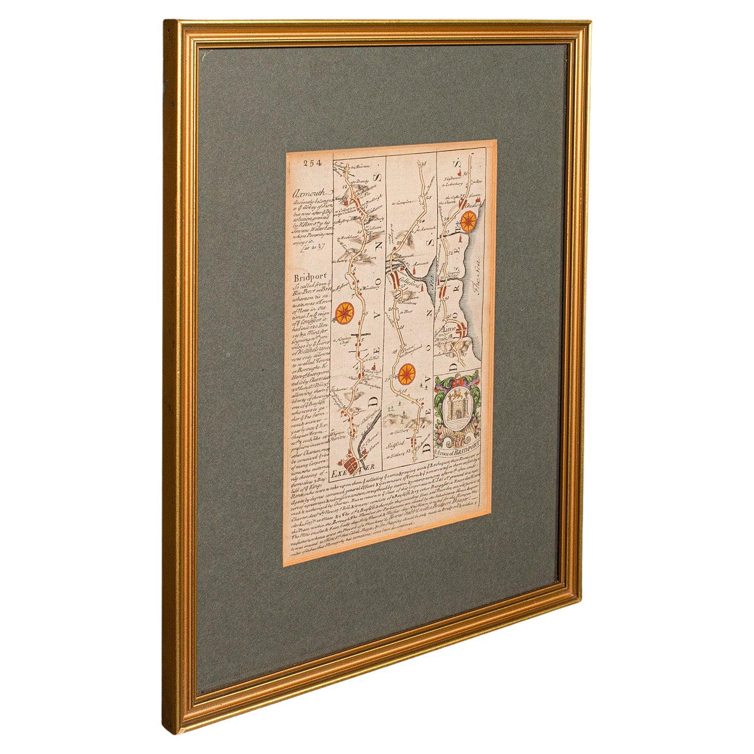
- Antique Coaching Road Map, Devon, English, Regional Cartography, Georgian, 1720Located in Hele, Devon, GBThis is an antique coaching road map of Devon. An English, framed lithograph engraving of regional interest, dating to the early 18th century and later. Fascinating 18th century hig...Category
Antique Early 18th Century British Georgian Maps
MaterialsWood
- Antique Coaching Road Map, South Devon, English, Framed, Cartography, GeorgianLocated in Hele, Devon, GBThis is an antique coach road map of South Devon. An English, framed lithograph engraving of regional interest, dating to the early 18th century and later. Delightful early 18th cen...Category
Antique Early 18th Century British Georgian Maps
MaterialsWood
- Antique Coach Road Map, East Devon, English, Framed, Cartography, Georgian, 1720Located in Hele, Devon, GBThis is an antique coach road map of East Devon. An English, framed lithograph engraving of regional interest, dating to the early 18th century and later. Fascinating 18th century h...Category
Antique Early 18th Century British Georgian Maps
MaterialsWood
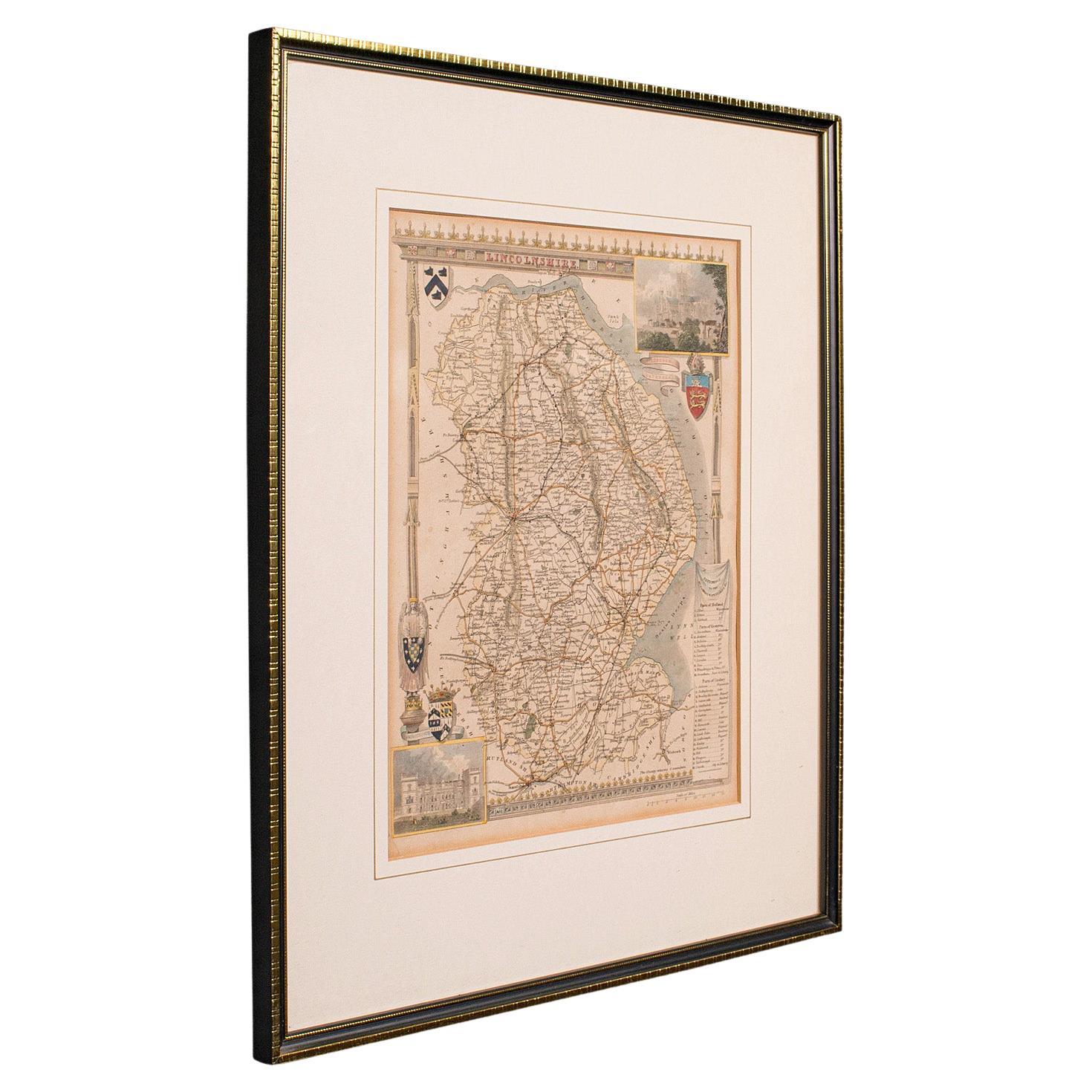
- Antique Lithography Map, Lincolnshire, English, Framed, Engraving, CartographyLocated in Hele, Devon, GBThis is an antique lithography map of Lincolnshire. An English, framed atlas engraving of cartographic interest, dating to the mid 19th century and...Category
Antique Mid-19th Century British Victorian Maps
MaterialsWood


You May Also Like
- Large Original Antique Folding Map of Manchester, England, Dated 1793Located in St Annes, LancashireSuperb map of Manchester and Salford Folding map. Printed on paper laid on to the original canvas Unframed. Published by C. Laurent, 1793. ...Category
Antique 1790s English Georgian Maps
MaterialsCanvas, Paper
- Cartographic Tapestry: Antique Map of Asia Minor, circa 1640Located in Langweer, NLTitle: "Historical Tapestry: Antique Map of Asia Minor, circa 1640" Description: This authentic antique map, created by Willem Blaeu and published in Amsterdam circa 1640, is a capt...Category
Antique Mid-17th Century Maps
MaterialsPaper
- Map Turkey in Europe & Hungary Thomas Kitchin, 1783Located in BUNGAY, SUFFOLKThomas Kitchen (1718 - 1784) : Map of Turkey in Europe & Hungary 1783 Visible sheet within the cream mount 25.5cm., 10" height 20cm., 8" In an ebonised frame length 33cm. 13", height 28cm., 11" Kitchin, Thomas (1718 - 1784) Thomas Kitchin (August 4, 1718 – June 23, 1784) was a London based engraver, cartographer, and publisher. He was born in London to a hat-dyer of the same name. At 14, Kitchin apprenticed under Emanuel Bowen, under whom he mastered the art of engraving. He married Bowen daughter, Sarah Bowen, and later inherited much of his preceptor's prosperous business. Their son, Thomas Bowen Kitchin, also an engraver joined the family business, which thereafter published in Thomas Kitchin and Son. From 1858 or so Kitchin was the engraver to the Duke of York, and from about 1773 acquired the title, 'Royal Hydrographer to King George III.' He is responsible for numerous maps published in the The Star, Gentleman's Magazine, and London Magazine, as well as partnering with, at various times, with Thomas Jefferys, Emmanuel Bowen, Thomas Hinton, Issac Tayor, Andrew Dury, John Rocque, Louis de la Rochette, and Alexander Hogg, among others. Kitchin passed his business on to his son, Thomas Bowen Kitchin, who continued to republish many of his maps well after his death. Kitchin's apprentices included George Rollos...Category
Antique 18th Century English Georgian Maps
MaterialsPaper
- Antique Map of the Harbour of Tongatabu by Cook, C.1783Located in Langweer, NLAntique map titled 'Sketch of Tongataboo Harbour (..)'. Antique map of the harbour of Tongatabu, one of the Tonga Islands. Originates from an edition of Cook's Voyages. Artists an...Category
Antique 18th Century Maps
MaterialsPaper
- Antique French Map of Asia Including China Indoneseia India, 1783Located in Amsterdam, Noord HollandVery nice map of Asia. 1783 Dedie au Roy. Additional information: Country of Manufacturing: Europe Period: 18th century Qing (1661 - 1912) Condition: Overall Condition B (Good Used)...Category
Antique 18th Century European Maps
MaterialsPaper
- Beira Baixa: A Cartographic Portrait of Portugal's Historic Frontier in 1903Located in Langweer, NLThe uploaded image is a historical map of the Beira Baixa region in Portugal. The map details the topography, including mountain ranges and river systems, as well as the transportati...Category
Antique Early 1900s Maps
MaterialsPaper


Recently Viewed
View AllMore Ways To Browse
Pakistan Antique Map
Armenia Map
Armenian Map
Antique Maps Uk
Antique Uk Map
Antique Uk Maps
Northumberland Map
Uk Antique Map
Ancient Map Of Jerusalem
Antique Jamaica Map
Antique Map Brooklyn
Antique Map Of Brooklyn
Antique Map Of Jamaica
Corse Antique
Map Of The Bahamas
Old Sicily Map
Saudi Arabia Antique Map
Tunisia Antique Map