Items Similar to Antique Coaching Road Map, South Devon, English, Framed, Cartography, Georgian
Want more images or videos?
Request additional images or videos from the seller
1 of 13
Antique Coaching Road Map, South Devon, English, Framed, Cartography, Georgian
About the Item
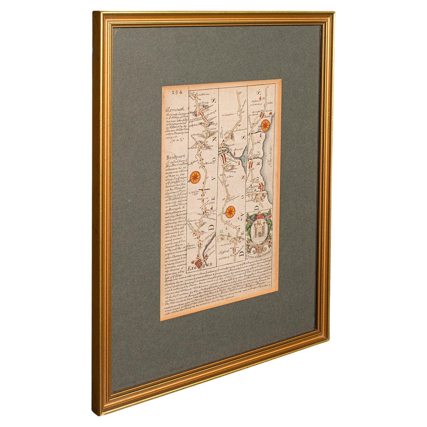
This is an antique coach road map of South Devon. An English, framed lithograph engraving of regional interest, dating to the early 18th century and later.
Delightful early 18th century highway cartography of Dartmouth to Exeter
Displays a desirable aged patina and in very good order
Unusual and charming - appealingly set within quality, later frames
Details the routes and points of interest along the way from a romanticised period of British history
Town emblems, churches and larger settlements in colour add illustrative detail
Dressed to the rear with hanging cord for ease of mounting
This is a quality antique coaching road map of South Devon, with fine cartographic interest to the quality Georgian lithography. Delivered ready to display.
Dimensions:
Max Width: 24.5cm (9.75'')
Max Depth: 1cm (.5'')
Max Height: 31cm (12.25'')
Map Width: 12cm (4.75'')
Map Height: 18cm (7'')
- Dimensions:Height: 12.21 in (31 cm)Width: 9.65 in (24.5 cm)Depth: 0.4 in (1 cm)
- Style:Georgian (Of the Period)
- Materials and Techniques:
- Place of Origin:
- Period:
- Date of Manufacture:circa 1720
- Condition:Wear consistent with age and use. Presented in very good antique condition.
- Seller Location:Hele, Devon, GB
- Reference Number:
About the Seller
5.0
Platinum Seller
These expertly vetted sellers are 1stDibs' most experienced sellers and are rated highest by our customers.
Established in 2005
1stDibs seller since 2017
834 sales on 1stDibs
Typical response time: 2 hours
- ShippingRetrieving quote...Ships From: Hele, Devon, United Kingdom
- Return PolicyA return for this item may be initiated within 14 days of delivery.
More From This SellerView All
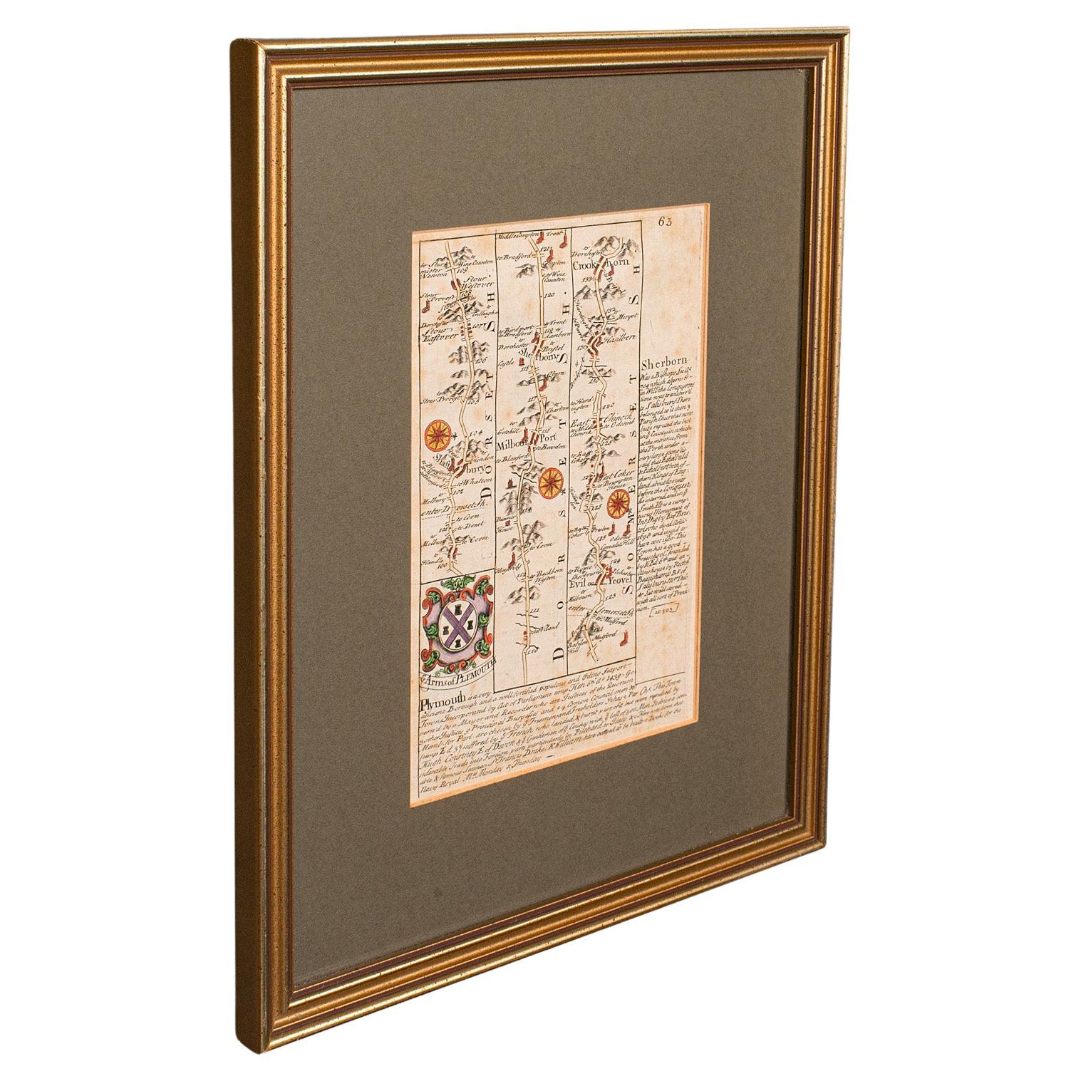
- Antique Coach Road Map, East Devon, English, Framed, Cartography, Georgian, 1720Located in Hele, Devon, GBThis is an antique coach road map of East Devon. An English, framed lithograph engraving of regional interest, dating to the early 18th century and later. Fascinating 18th century h...Category
Antique Early 18th Century British Georgian Maps
MaterialsWood
- Antique Coaching Road Map, Devon, English, Regional Cartography, Georgian, 1720Located in Hele, Devon, GBThis is an antique coaching road map of Devon. An English, framed lithograph engraving of regional interest, dating to the early 18th century and later. Fascinating 18th century hig...Category
Antique Early 18th Century British Georgian Maps
MaterialsWood
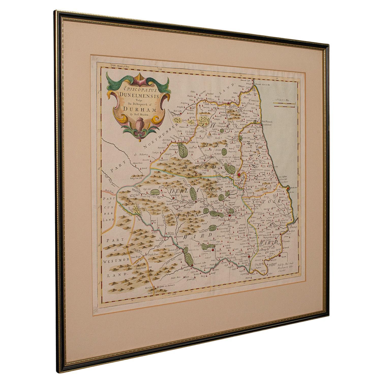
- Antique Lithography Map, Durham, English, Framed, Cartography, Early GeorgianLocated in Hele, Devon, GBThis is an antique lithography map of Durham. An English, framed engraving of cartographic interest, dating to the early 18th century and later, circa 1720. Superb lithography of Du...Category
Antique Early 18th Century British Georgian Maps
MaterialsWood
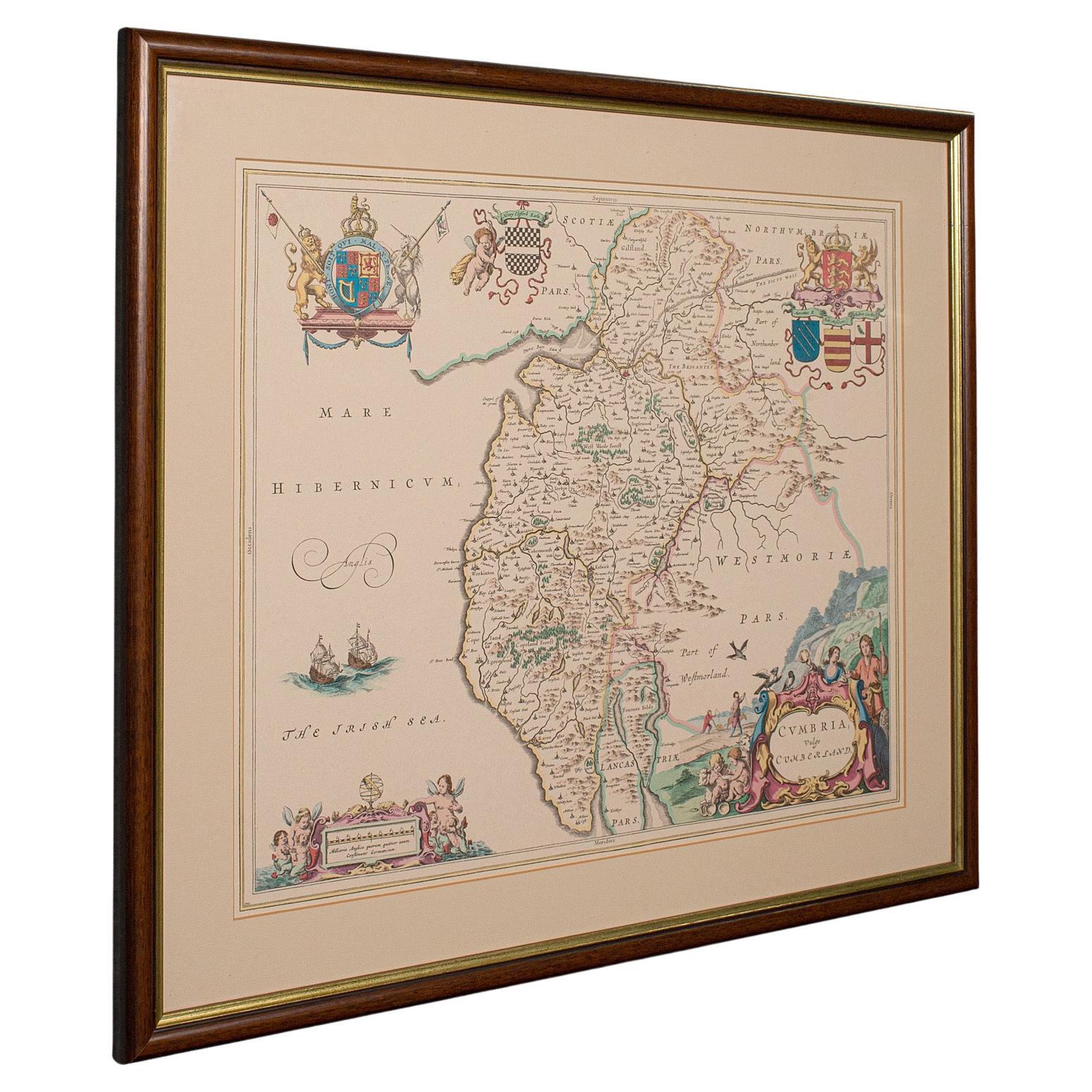
- Antique Lithography Map, Cumbria, English, Framed Cartography Interest, GeorgianLocated in Hele, Devon, GBThis is an antique lithography map of Cumbria. An English, framed engraving of cartographic interest, dating to the early 18th century and later. ...Category
Antique Early 18th Century British Georgian Maps
MaterialsWood
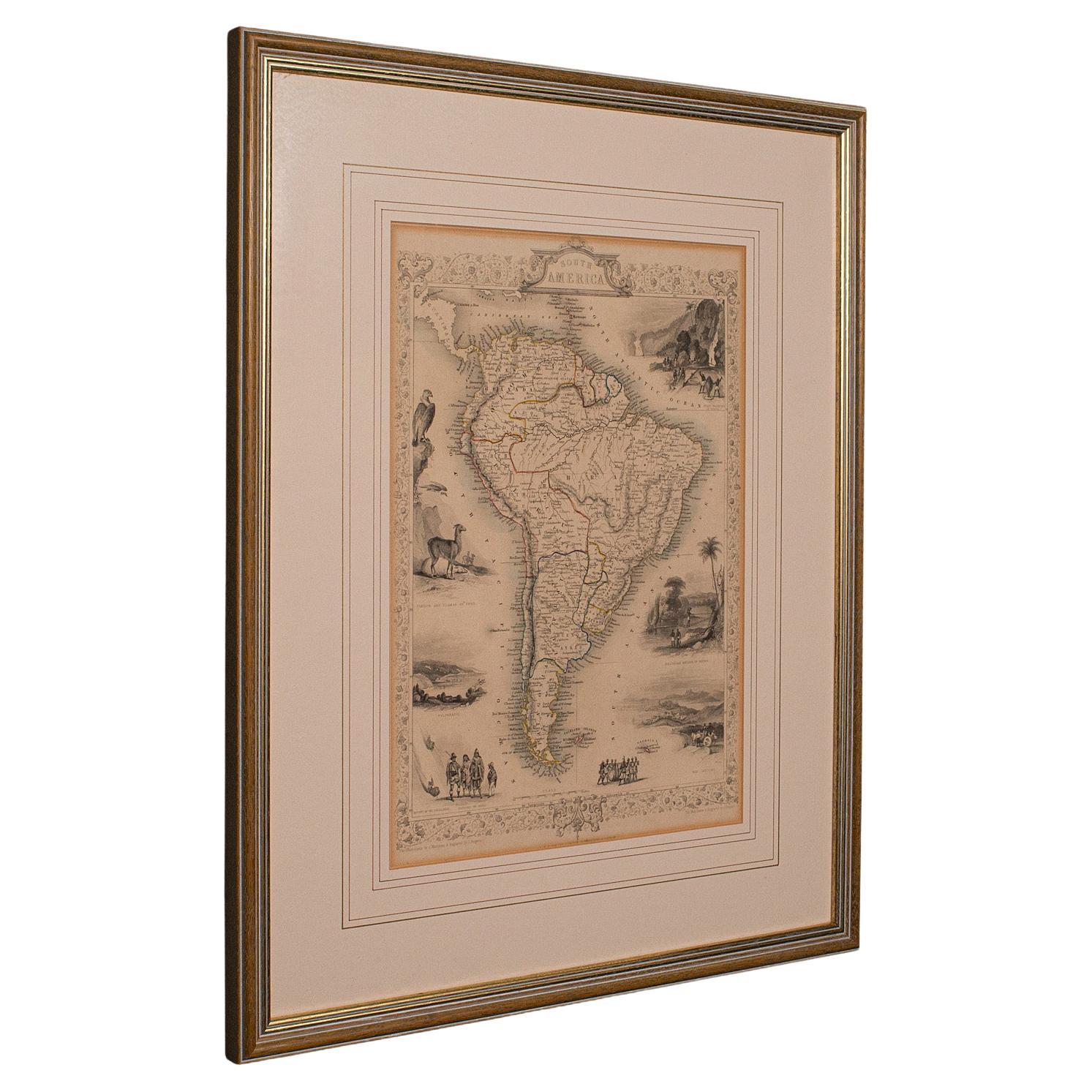
- Antique Lithography Map, South America, English, Framed, Cartography, VictorianLocated in Hele, Devon, GBThis is an antique lithography map of South America. An English, framed atlas engraving of cartographic interest by John Rapkin , dating to the early Victorian period and later, circ...Category
Antique Mid-19th Century British Early Victorian Maps
MaterialsWood
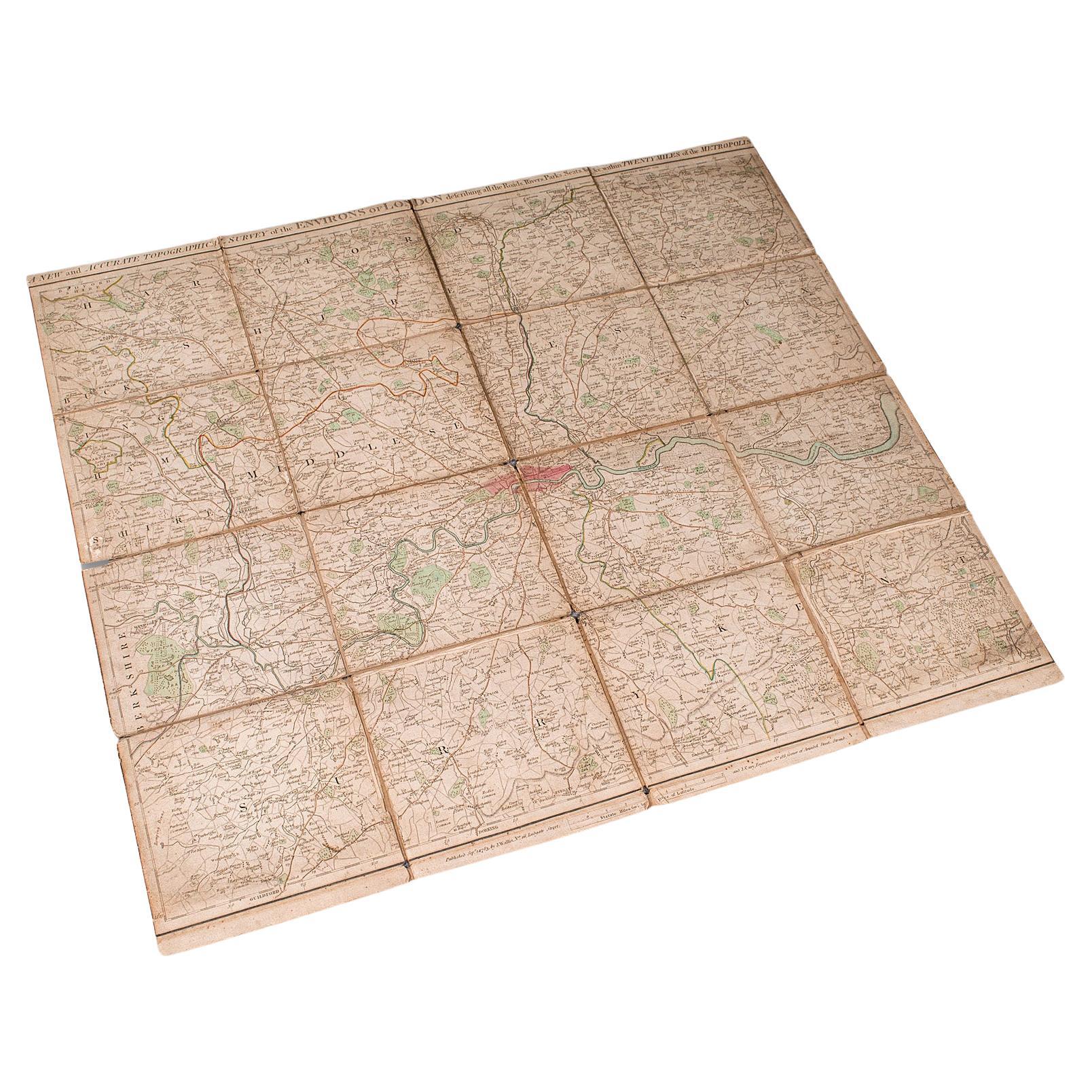
- Antique Folding London Map, English, Cartography, Historic, Georgian, Dated 1783Located in Hele, Devon, GBThis is an antique folding London map. An English, paper on linen cartographical study of the London metropolis and the surrounding area, published in the mid Georgian period, dated ...Category
Antique Late 18th Century British Georgian Maps
MaterialsLinen, Paper


You May Also Like
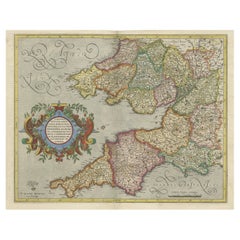
- Original Antique Map of the English counties Cornwall, Devon, Dorset, etc, 1633Located in Langweer, NLAntique map titled 'Cornubia, Devonia, Somersetus, Dorcestria, Wiltonia, Glocestria, Monumetha, Glamorgan, Caermarden, Penbrok, Cardigan, Radnor, Breknoke et Herfordia'. Old map of the English counties of Cornwall, Devon, Somerset, Dorset, Wiltshire, Gloucestershire, Herefordshire, Worcestershire etc. Originates from the 1633 German edition of the Mercator-Hondius Atlas Major, published by Henricus Hondius and Jan Jansson under the title: 'Atlas: das ist Abbildung der gantzen Welt, mit allen darin begriffenen Laendern und Provintzen: sonderlich von Teutschland, Franckreich, Niderland, Ost und West Indien: mit Beschreibung der selben.' Artists and Engravers: Gerard Mercator (1512 - 1594) originally a student of philosophy was one of the most renowned cosmographers and geographers of the 16th century, as well as an accomplished scientific instrument maker. He is most famous for introducing Mercators Projection, a system which allowed navigators to plot the same constant compass bearing on a flat...Category
Antique 1630s Maps
MaterialsPaper
- Cartographic Tapestry: Antique Map of Asia Minor, circa 1640Located in Langweer, NLTitle: "Historical Tapestry: Antique Map of Asia Minor, circa 1640" Description: This authentic antique map, created by Willem Blaeu and published in Amsterdam circa 1640, is a capt...Category
Antique Mid-17th Century Maps
MaterialsPaper
- Original Antique Map of South America. C.1780Located in St Annes, LancashireGreat map of South America Copper-plate engraving Published C.1780 Two small worm holes to left side of map Unframed.Category
Antique Early 1800s English Georgian Maps
MaterialsPaper
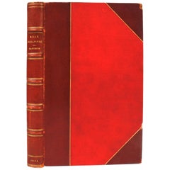
- Book, A Fine Binding, Road Scrapings, Coaches, and CoachingLocated in West Palm Beach, FLLondon, 1882, illustrated. Fine tooled leather with exterior. The illustrations are colored.Category
Antique Late 19th Century English Books
MaterialsLeather, Paper
- "Road Scrapings: Coaches and Coaching" by Captain M. E. Haworth, 1882Located in valatie, NYRoad Scrapings: Coaches and Coaching. London: Tinsley Brothers, 1882. First edition Morocco and cloth bound hardcover. Captain Haworth writes about the world of coaching by telling anecdotes when coaching was at its peak. He describes fights among competitors and how one coaching company hired prize-fighters to keep the peace. He also explains how trains are safer for the public with the lack of competitive fist fighting...Category
Antique Late 19th Century English Books
MaterialsPaper, Leather
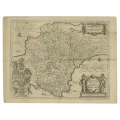
- Antique Map of the County of Devon by Overton, 1713Located in Langweer, NLAntique map titled 'Devoniae Descriptio - The Description of Devon Shire'. Map of the County of Devon, England. This map originates from the 1713 edition of the 'Overton Atlas'. Henry Overton only revised the Devon map...Category
Antique 18th Century Maps
MaterialsPaper