Items Similar to Mid 19th Century Map of the Black Sea with Decorative Vignettes, 1851

Want more images or videos?
Request additional images or videos from the seller
1 of 5
Mid 19th Century Map of the Black Sea with Decorative Vignettes, 1851
About the Item
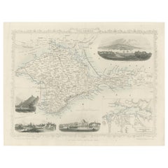
Map of the Black Sea and contingent lands, including Turkey, Russia, Georgia, Azerbaijan, Bulgaria, Crimea and Armenia, with decorative vignettes views of Sebastopol, Varna, Odessa, Sinope, Constantinople and Silistria.
Fine antique map of the Black Sea, illustrations & Engraved by H. Winkles. The Map Drawn & Engraved by J. Rapkin, decorative vignettes Sebastopol, Varna, Odessa, Sinop,(Turkey) Silistria (Bulgaria) and Constantinople.
Antique steel engraved map with original outline hand colour
The London Printing and Publishing Company – Limited.
(active circa 1800-1855), Printers and publishers.
Lithograph in hand coloring.
Cartographer: John Tallis (1838-51) founder of Tallis and Co., London map publishers who traded under various names: L. Tallis, Tallis & co, John Tallis, John Tallis & co. (London & New York) between 1838 and 1851. After 1850-51, their maps were published by the London Printing and Publishing Co., London and New York. The Illustrated Atlas of the World, published in 1849 with the maps and decorative vignette’s engraved and drawn by J. Rapkin, was one of the last atlases to be truly decorated and is therefore highly prized.
- Dimensions:Height: 27.5 in (69.85 cm)Width: 36 in (91.44 cm)Depth: 0.002 in (0.06 mm)
- Materials and Techniques:
- Period:
- Date of Manufacture:1851
- Condition:Good overall condition, some minor age toning. Please note that this is a folding map.
- Seller Location:Langweer, NL
- Reference Number:
About the Seller
5.0
Platinum Seller
These expertly vetted sellers are 1stDibs' most experienced sellers and are rated highest by our customers.
Established in 2009
1stDibs seller since 2017
1,929 sales on 1stDibs
Typical response time: <1 hour
- ShippingRetrieving quote...Ships From: Langweer, Netherlands
- Return PolicyA return for this item may be initiated within 14 days of delivery.
More From This SellerView All
- Old Engraved Map of Hungary with Decorative Vignettes, 1851Located in Langweer, NLAntique map titled Hungary. Includes decorative vignettes titled Hungarian Peasants, Pesth and the Fortress of Buda, on the Danube and Hungarian Nobles. Originates from 'The Illustrated Atlas, And Modern History Of The World Geographical, Political, Commercial & Statistical, Edited By R. Montgomery Martin'. Published; John Tallis London, New York, Edinburgh & Dublin. 1851. Drawn and Engraved by J. Rapkin. Artists and Engravers: John Tallis (1817-1876) was a British map publisher. Born in the Midlands, Tallis came to London in the 1840s. Tallis began his London career with a series of remarkable London street views. He began a partnership with a Frederick Tallis, possibly his brother, but their collaboration ended in 1849. For the Great Exhibition of 1851, Tallis published the Illustrated World Atlas, one of the last series of decorative world maps ever produced. The maps were engraved by John Rapkin, a skilled artisan. The maps were later reissued by the London Printing & Publishing Company, who left the Tallis imprint intact, thus ensuring his enduring fame. In 1858, he began publication of the popular Illustrated News of the World...Category
Antique 19th Century Maps
MaterialsPaper
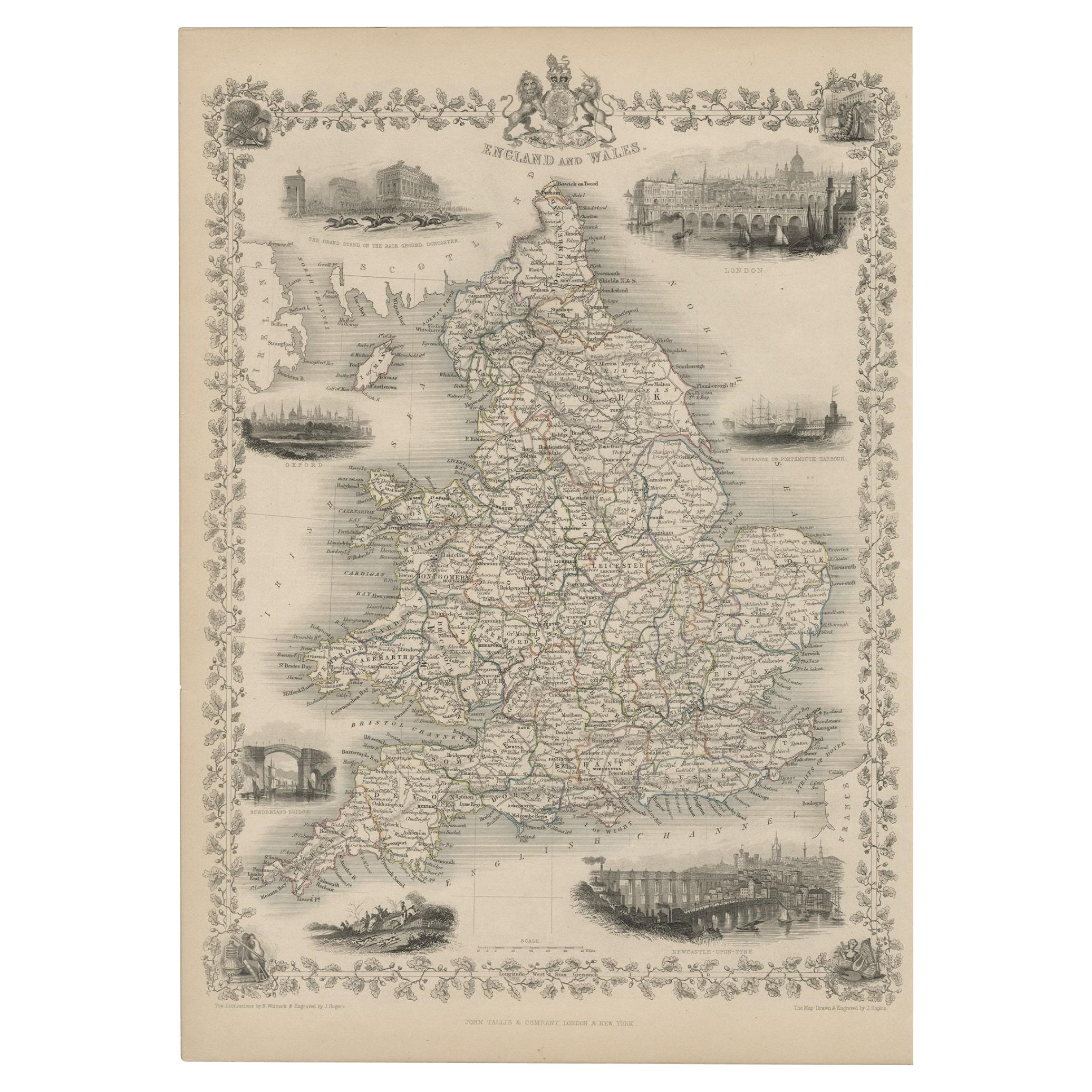
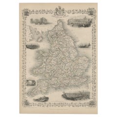
- Antique Map of England and Wales with Decorative Vignettes, 1851Located in Langweer, NLAntique map titled ‘England and Wales’. Includes decorative vignettes titled The grand stand on the race ground Doncaster, London, Oxford, Entrance to Portsmouth Harbour, Sunderland ...Category
Antique 19th Century Maps
MaterialsPaper
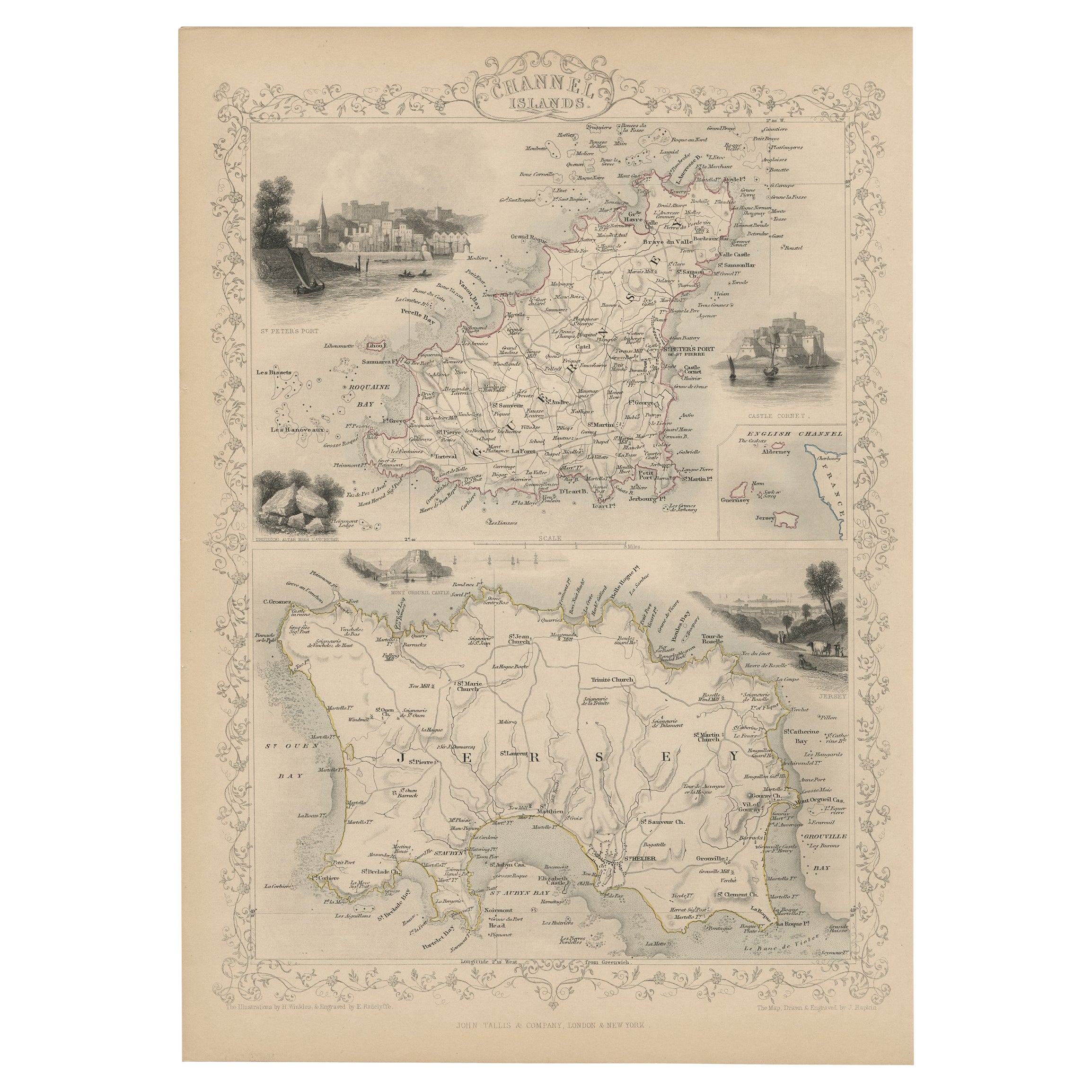
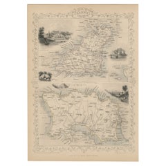
- Original Antique Map of the Channel Islands, Incl. Decorative Vignettes, 1851Located in Langweer, NLAntique map titled ‘Channel Islands’. Includes decorative vignettes titled St. Peters Port, Castle Cornet, Druidical altar near Lancresse, Mont Orgueil Castle and Jersey. Originates from 'The Illustrated Atlas, And Modern History Of The World Geographical, Political, Commercial & Statistical, Edited By R. Montgomery Martin'. Published; John Tallis London, New York, Edinburgh & Dublin. 1851. Drawn and Engraved by J. Rapkin. Artists and engravers: John Tallis (1817-1876) was a British map...Category
Antique 1850s Maps
MaterialsPaper
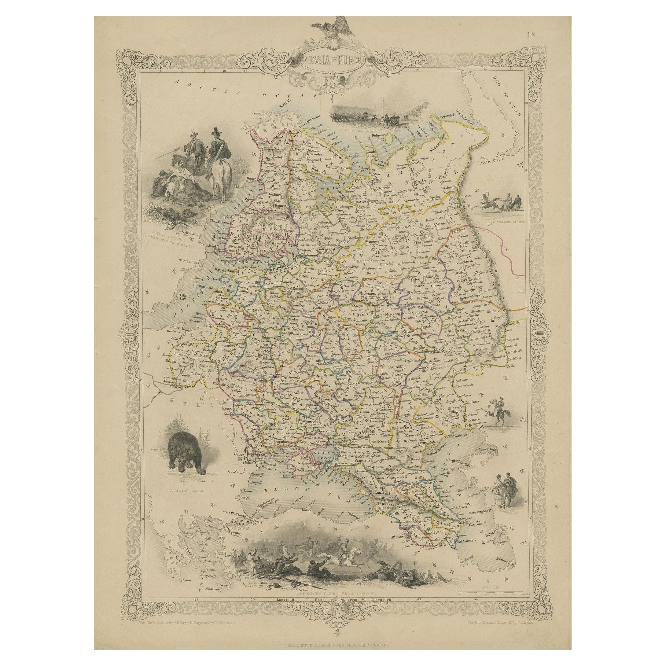
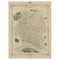
- Map of Russia with Vignettes of the Neoskoi Prospect, St. Petersburg, ca.1851Located in Langweer, NLAntique map titled 'Russia in Europe'. Map of European Russia. Showing vignettes of the Neoskoi Prospect, St. Petersburg, Polish Captives on their way to Siberia, a Russian Bear...Category
Antique 1850s Maps
MaterialsPaper
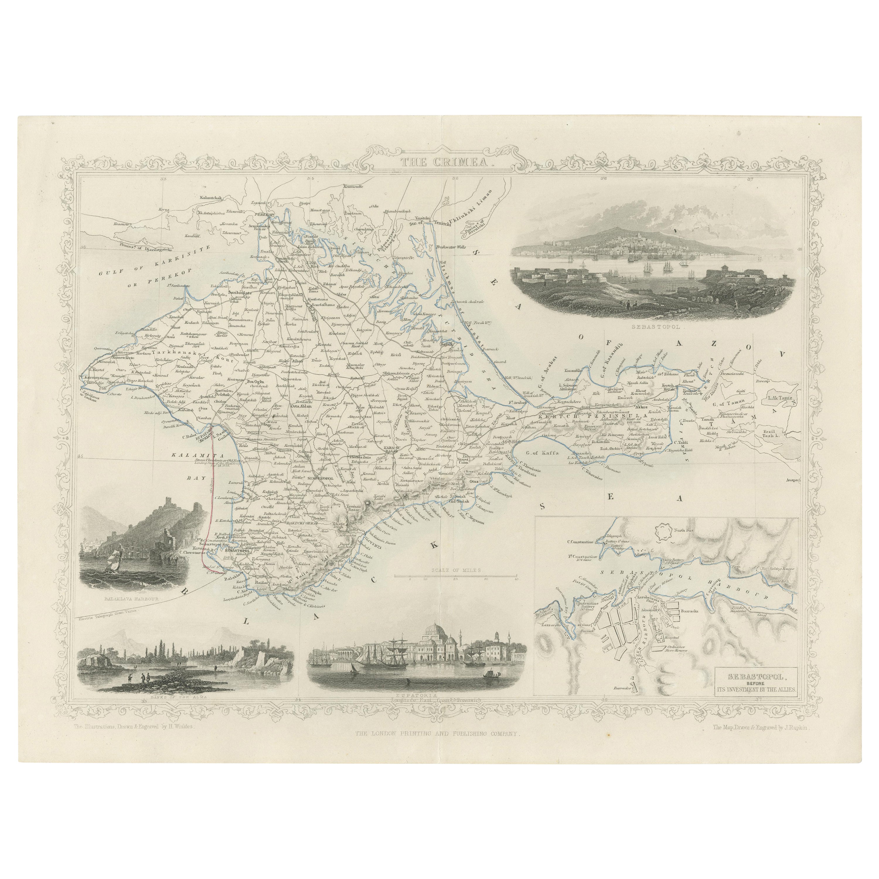
- A Decorative Detailed Map of the Crimea, with an Inset Map of Sebastopol, c 1851Located in Langweer, NLDate: 1851 Artist and Engraver: J Rapkin Vingettes: Artist and Engraver: H. Winkles Paper Size: 350 x 270mms Condition: good Technique: original steel engraving Description: ...Category
Antique 1850s Maps
MaterialsPaper
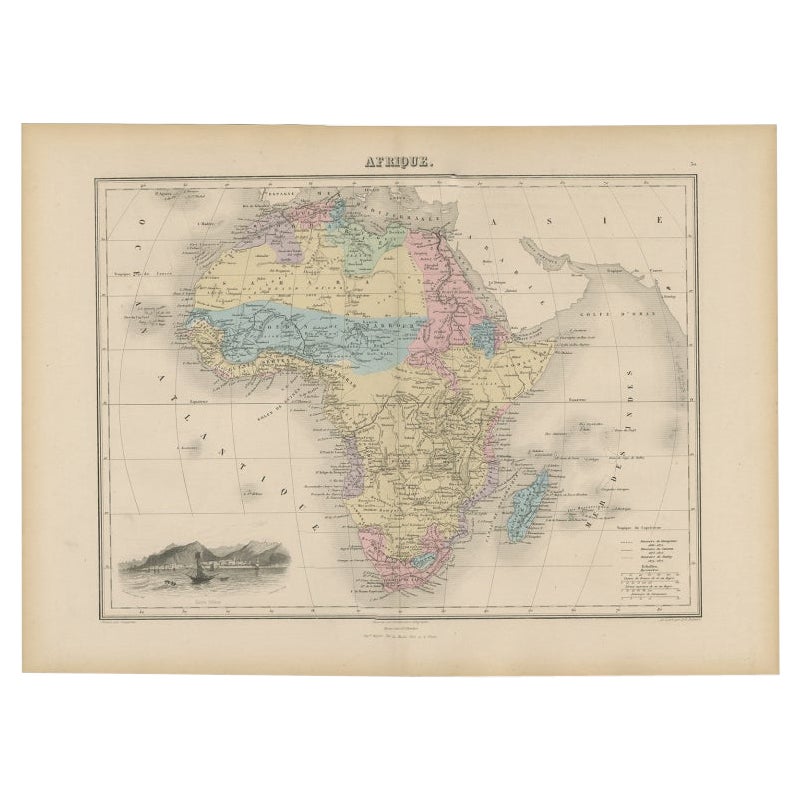
- Antique Map of Africa with Decorative Vignette of Saint Helena, 1880Located in Langweer, NLAntique map titled 'Afrique'. Old map of Africa, covering the African continent. With decorative vignette of Saint Helena. This map originates from 'Géogr...Category
Antique 19th Century Maps
MaterialsPaper


You May Also Like
- Hand-Colored 18th Century Homann Map of the Black Sea, Turkey and Asia MinorBy Johann Baptist HomannLocated in Alamo, CAAn attractive original early 18th century hand-colored map of the Black Sea and Turkey entitled "Carte de L'Asie Minevre ou de la Natolie et du Pont Evxin Tiree des Voyages et des Ob...Category
Antique Early 18th Century German Maps
MaterialsPaper
- Louisiana: A Framed 19th Century Map by O. W. GrayBy Gray and CoLocated in Alamo, CAThis framed 19th century map of the Louisiana territory was published in "Gray's Atlas of the United States with General Maps of the World, accompanied by Descriptions Geographical, Historical, Scientific and Statistica" published in 1873 in Philadelphia by O.W. Gray and Son and Stedman, Brown and Lyon. It is a highly detailed map of Louisiana...Category
Antique Mid-19th Century American Other Maps
MaterialsPaper
- Hand-Colored 18th Century Homann Map of Denmark and Islands in the Baltic SeaBy Johann Baptist HomannLocated in Alamo, CAAn 18th century copper plate hand-colored map entitled "Insulae Danicae in Mari Balthico Sitae utpote Zeelandia, Fionia, Langelandia, Lalandia, Falstria, Fembria Mona" created by Joh...Category
Antique Early 18th Century German Maps
MaterialsPaper
- America "Amérique Septentrionale": A 19th Century French Map by DelamarcheBy Maison Delamarche 1Located in Alamo, CAThis framed mid 19th century map of North America entitled "Amérique Septentrionale" by Felix Delamarche was published in Paris in 1854 by Quay de l'Horloge du Palais, avec les Carte...Category
Antique Mid-19th Century American Other Maps
MaterialsPaper
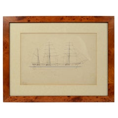
- Print No. 1 of 400 Depicting a Nautical Schooner Made in the Mid-19th CenturyLocated in Milan, ITPrint depicting a schooner, no. 1 of 400 copies signed Z21, made in the mid-19th century. Non-coeval briarwood frame; measures with frame 50 x 40 cm.Category
Antique 1850s British Nautical Objects
MaterialsPaper
- "San Francisco, Upper California” 1851 Antique Map of San FranciscoLocated in Colorado Springs, COThis is a pictorial lettersheet view of the city and harbor of San Francisco. This lithograph was printed on grey wove paper, across a double sheet, by famed lithographers Britton & ...Category
Antique 1850s American Prints
MaterialsPaper


Recently Viewed
View AllMore Ways To Browse
London Map
London Antique Map
London Map Antique
Antique London Maps
Antique London Map
London Antique Maps
Antique Sea Maps
Antique Sea Map
Sea Map
Bulgaria Antique
Fine Antique Maps
Hand Drawn Map
Antique Map New York
Antique New York Map
Antique New York Maps
Antique Maps New York
New York Antique Map
Antique Maps Of New York