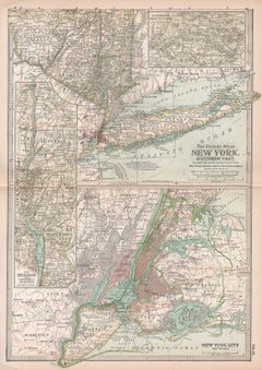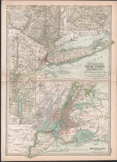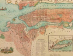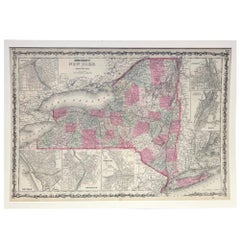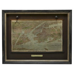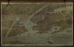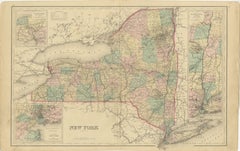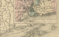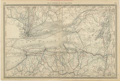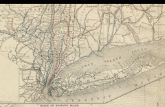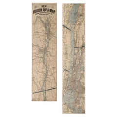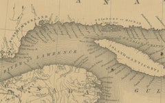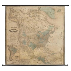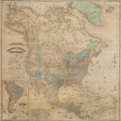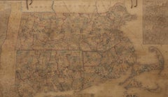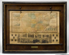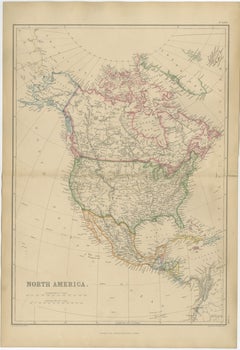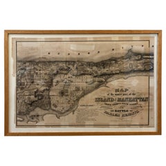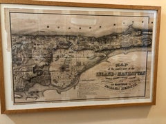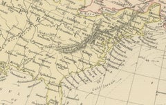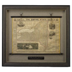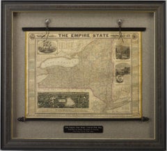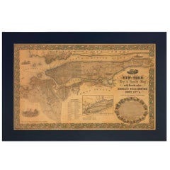
1855 New-York City & County Map with Vicinity by Charles Magnus
By Charles Magnus
Located in Colorado Springs, CO
This is a beautiful hand-colored map titled “New York City & County Map with Vicinity entire Brooklyn, Williamsburgh, Jersey City &c.”
Category
1850s American Victorian Antique Maps Of New York City
Materials
Paper