Items Similar to Large Wall Map of Europe by George Philip & Son, circa 1920


Want more images or videos?
Request additional images or videos from the seller
1 of 7
Large Wall Map of Europe by George Philip & Son, circa 1920
$2,096.75
$2,995.3630% Off
£1,560.61
£2,229.4430% Off
€1,750
€2,50030% Off
CA$2,872.03
CA$4,102.8930% Off
A$3,194.32
A$4,563.3130% Off
CHF 1,667.97
CHF 2,382.8230% Off
MX$38,871.46
MX$55,530.6630% Off
NOK 21,302.57
NOK 30,432.2530% Off
SEK 19,978.06
SEK 28,540.0830% Off
DKK 13,322.14
DKK 19,031.6330% Off
Shipping
Retrieving quote...The 1stDibs Promise:
Authenticity Guarantee,
Money-Back Guarantee,
24-Hour Cancellation
About the Item
Antique map titled 'Philips' New Commercial Map of Europe'. Very large wall map of Europe including the North African coast and Turkey. Decorative borders. Dissected into 48 segments and mounted on linen, folding into original boards. Published by George Philip & Son for London Geographical Institute.
- Dimensions:Height: 72.05 in (183 cm)Width: 66.15 in (168 cm)Depth: 0.02 in (0.5 mm)
- Materials and Techniques:
- Period:
- Date of Manufacture:circa 1920
- Condition:General age-related toning. Split between two segments. Shows some wear and soiling. Please study images carefully.
- Seller Location:Langweer, NL
- Reference Number:Seller: M24301stDibs: LU3054321246292
About the Seller
5.0
Recognized Seller
These prestigious sellers are industry leaders and represent the highest echelon for item quality and design.
Platinum Seller
Premium sellers with a 4.7+ rating and 24-hour response times
Established in 2009
1stDibs seller since 2017
2,508 sales on 1stDibs
Typical response time: <1 hour
- ShippingRetrieving quote...Shipping from: Langweer, Netherlands
- Return Policy
Authenticity Guarantee
In the unlikely event there’s an issue with an item’s authenticity, contact us within 1 year for a full refund. DetailsMoney-Back Guarantee
If your item is not as described, is damaged in transit, or does not arrive, contact us within 7 days for a full refund. Details24-Hour Cancellation
You have a 24-hour grace period in which to reconsider your purchase, with no questions asked.Vetted Professional Sellers
Our world-class sellers must adhere to strict standards for service and quality, maintaining the integrity of our listings.Price-Match Guarantee
If you find that a seller listed the same item for a lower price elsewhere, we’ll match it.Trusted Global Delivery
Our best-in-class carrier network provides specialized shipping options worldwide, including custom delivery.More From This Seller
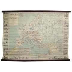
View AllAntique Map of Europe, 1903, with Intricate Political Boundaries and Rich Detail
Located in Langweer, NL
Title: Antique Map of Europe, 1903, with Intricate Political Boundaries and Rich Detail
Description:
This antique map, titled "Europe," is a finely engraved and beautifully colored ...
Category
Early 20th Century Maps
Materials
Paper

Antique Map of the European Continent, 1882
Located in Langweer, NL
Antique map titled 'Europe'. Old map of the European continent. This map originates from 'The Royal Atlas of Modern Geography, Exhibiting, in a Series of ...
Category
Antique 19th Century Maps
Materials
Paper

$129 Sale Price
20% Off
Political Map of Europe: Early 19th Century, from the 1802 Tardieu Atlas
Located in Langweer, NL
Antique Map Description
Title: Carte Générale et Politique de l'Europe
Publication Details:
- **Atlas Title:** Nouvel Atlas Universel de Géographie Ancienne et Moderne
- **Purpose...
Category
Antique Early 1800s Maps
Materials
Paper

$460 Sale Price
20% Off
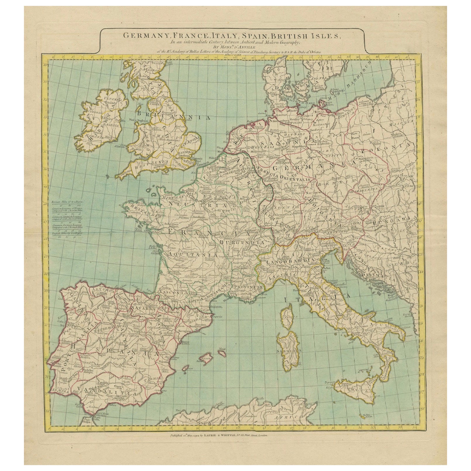
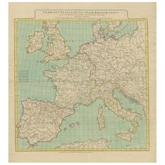
Map of Europe Highlighting Ancient and Modern Geographical Divisions (1794)
Located in Langweer, NL
Map of Europe Highlighting Ancient and Modern Geographical Divisions (1794). Germany, France, Italy, Spain, and the British Isles – Map by D’Anville (1794).
This detailed 18th-cent...
Category
Antique 1790s Maps
Materials
Paper
$1,619 Sale Price
20% Off
Antique Map of Europe by Balbi '1847'
Located in Langweer, NL
Antique map titled 'Europe'. Original antique map of Europe. This map originates from 'Abrégé de Géographie (..)' by Adrien Balbi. Published 1847.
Category
Antique Mid-19th Century Maps
Materials
Paper

$143 Sale Price
20% Off
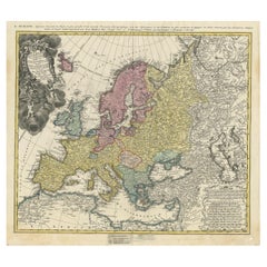
Antique Map of Europe with Elaborate Title Cartouche, c.1750
Located in Langweer, NL
Antique map of Europe titled 'Europa Secundum legitimas Projectionis Stereographicae regulas et juxta recentissimas observationes aeque ac relationes… - L'Europe, dessinee suivant le...
Category
Antique 18th Century Maps
Materials
Paper
$623 Sale Price
20% Off
You May Also Like
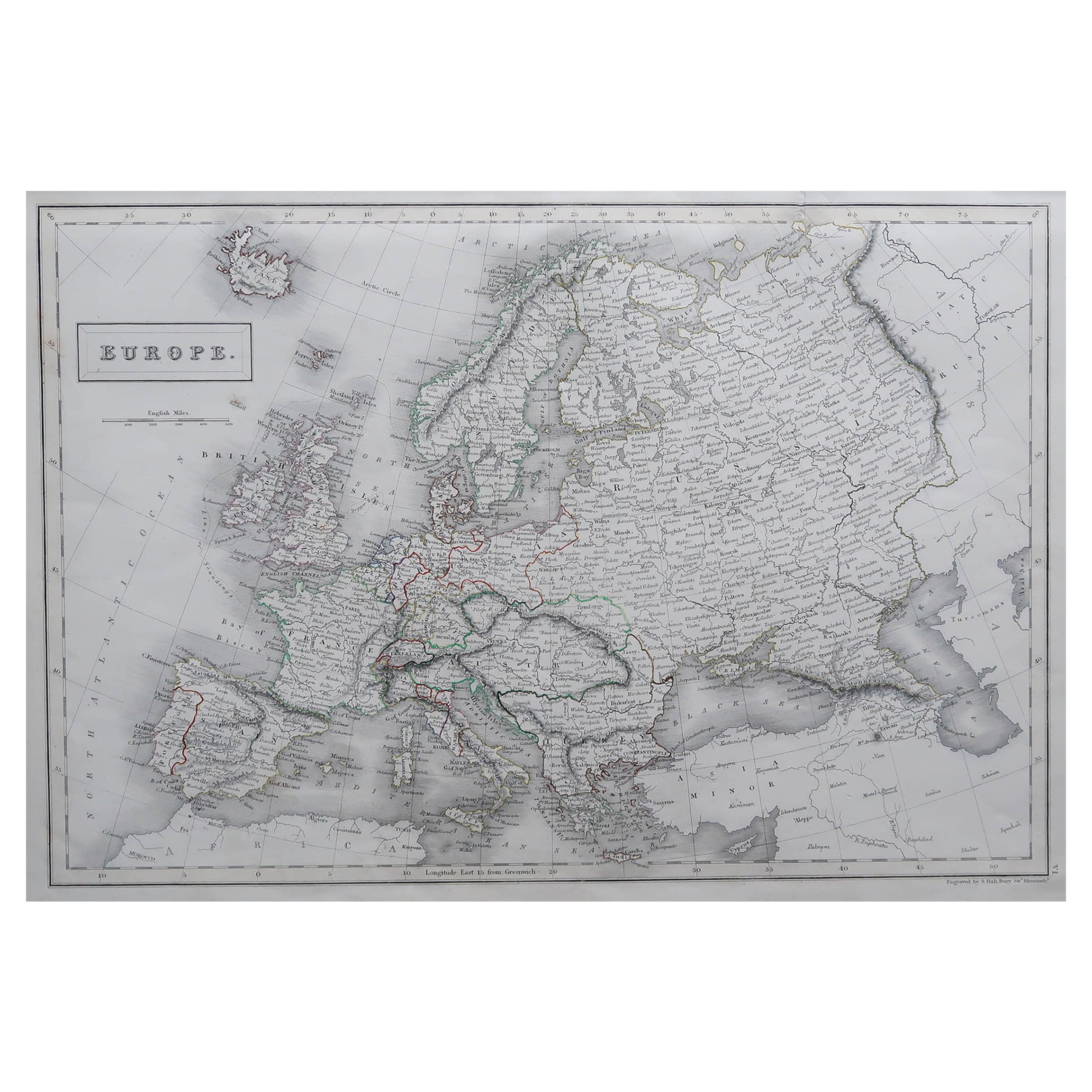
Large Original Antique Map of Europe by Sidney Hall, 1847
Located in St Annes, Lancashire
Great map of Europe
Drawn and engraved by Sidney Hall
Steel engraving
Original colour outline
Published by A & C Black. 1847
Unframed
Free shipping.
Category
Antique 1840s Scottish Maps
Materials
Paper

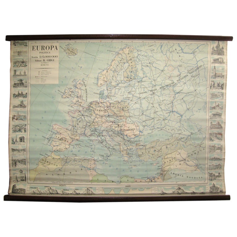
Map of Europe
Located in Los Angeles, CA
28 cities capitol drawings around the border of this Europe political map.
Category
Vintage 1950s Italian Mid-Century Modern Prints
$500
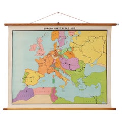
Vintage historical wall map of Europe around 1812, Belgium 1950s
Located in Meulebeke, BE
Belgium / 1950 / school map Europe 1812 / canvas, wood / Mid-century / vintage
Beautiful vintage wall-mounted historical map of Europe around 1812, designed by Inst. J.B. Wolters Mi...
Category
Vintage 1950s Belgian Mid-Century Modern Posters
Materials
Canvas, Wood
Huge Europe and Asia Vintage Wall Map
Located in San Diego, CA
A huge Europe and Asia vintage wall map, circa 1950s. The map is in fair vintage condition and measures 78"W x 73"H". #2863
Category
Mid-20th Century American Maps
Materials
Paper
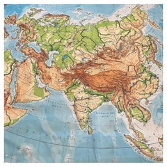
$380 Sale Price
20% Off
Original Antique Map of Europe, Arrowsmith, 1820
Located in St Annes, Lancashire
Great map of Europe
Drawn under the direction of Arrowsmith.
Copper-plate engraving.
Published by Longman, Hurst, Rees, Orme and Brown, 1820
...
Category
Antique 1820s English Maps
Materials
Paper

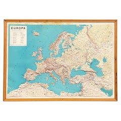
Italian modern Topographic geographical map in wood frame of Europe, 1950s-1990s
Located in MIlano, IT
Italian modern Topographic geographical map in wood frame of Europe, 1950s-1990s
Three-dimensional geographical map of Europe on paper. The topographic map presents the states with t...
Category
Late 20th Century Italian Modern Decorative Art
Materials
Wood, Paper