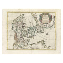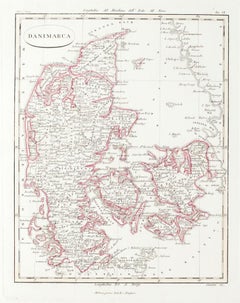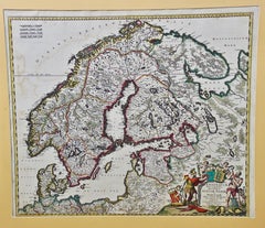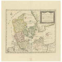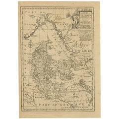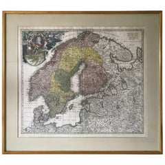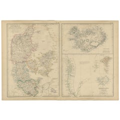
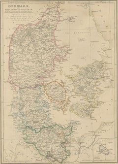
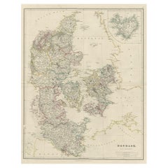
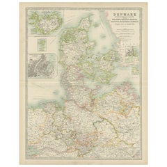
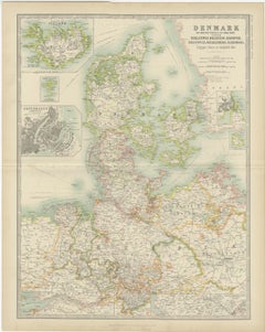
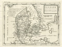
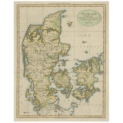
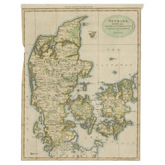
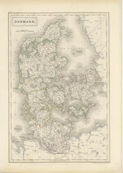
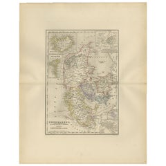
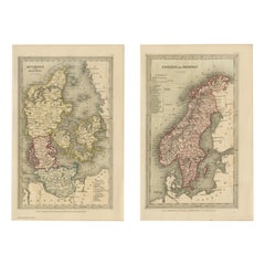
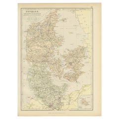
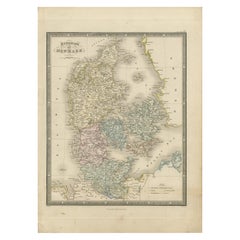
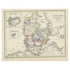
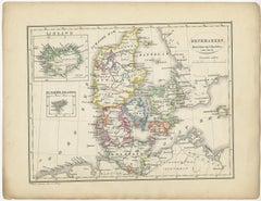
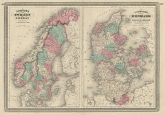
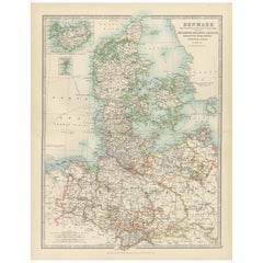
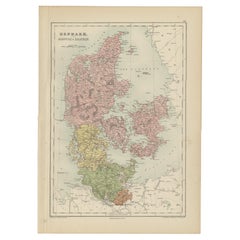
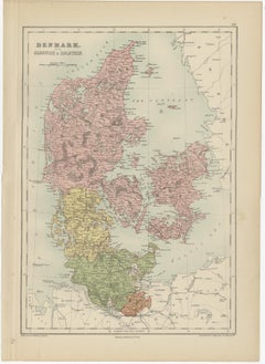
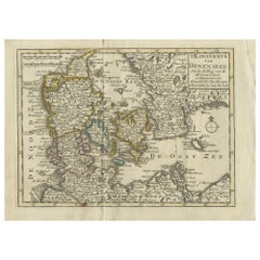
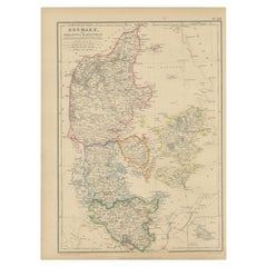
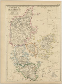
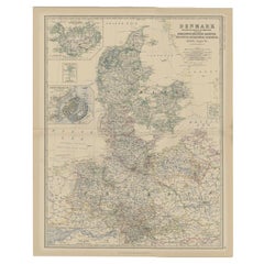
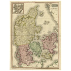
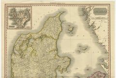
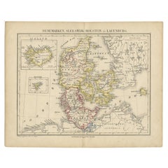
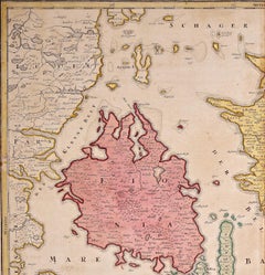
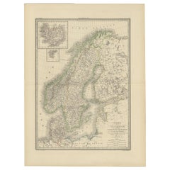
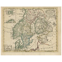
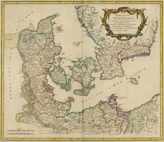
Denmark with Schleswig & Holstein, Iceland, Greenland, Antique Map, Blackie 1860
Located in Langweer, NL
Blackie, Scotland, 1860 Keywords: Denmark map, Schleswig map, Holstein map, Danish cartography, Scandinavia map, Nordic countries map, Copenhagen, Zealand, Funen, Jutland, Danish is...
Category
Antique Mid-19th Century British Maps
Materials
Paper


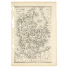


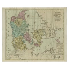


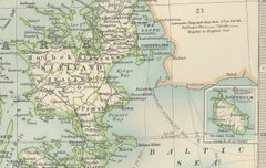


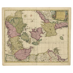


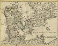


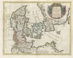
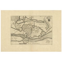
![Carte De La Mer De Dannemark Et Des Entrees Dans La Mer Baltique [...].](https://a.1stdibscdn.com/archivesE/upload/a_5923/1508836131958/cb3807_master.jpg?width=240)