19th Century Maps
to
1,669
2,205
75
2,283
72
9
9
4
2
2
1
1
2,936
2,283
475
3
290
34
10
126
10
37
9
2
5
4
3
3
2,245
71
33
13
11
352
175
107
106
102
2,283
2,283
2,283
104
23
9
8
7
Period: 19th Century
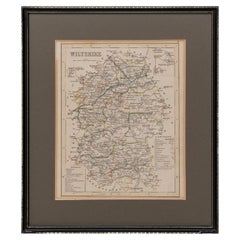
Map Wiltshire Joshua Archer Pentonville London framed 35cm 14" high
Located in BUNGAY, SUFFOLK
Map of Wiltshire Drawn & Engraved by Joshua Archer Pentonville London
Window Parts of Wiltshire in Berkshire
Explanation of Salisbury
County Divisions
Category
English Georgian Antique 19th Century Maps
Materials
Paper
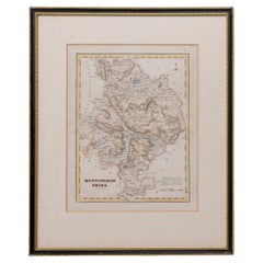
Map Huntingdonshire R Scott Archibald Fullarton & Co Glasgow
Located in BUNGAY, SUFFOLK
Folding Map of Huntingdonshire by R Scott with distances from London and reference to the hundreds.
Published by Archibald Fullarton & Co Glasgow. Measure: 40...
Category
English Victorian Antique 19th Century Maps
Materials
Paper
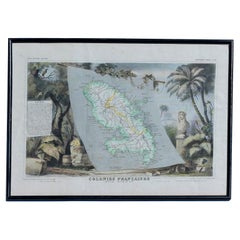
Map Colonies Francaises Martinique, 1845
Located in BUNGAY, SUFFOLK
Colonies Francaises, Martinique, Amerique DU SUD
Geographie et Statistique par V.Levasseur. Ing'r Geographe.
Illustre par Raymond Bonheur, peintre.
Grave par Laguihermie, Rue St...
Category
French Antique 19th Century Maps
Materials
Paper


