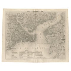
Antique Map of Constantinople and Surroundings by Balbi '1847'
View Similar Items


Want more images or videos?
Request additional images or videos from the seller
1 of 5
Antique Map of Constantinople and Surroundings by Balbi '1847'
Price:$176.79
About the Item
- Dimensions:Height: 9.06 in (23 cm)Width: 11.23 in (28.5 cm)Depth: 0.02 in (0.5 mm)
- Materials and Techniques:
- Period:
- Date of Manufacture:1847
- Condition:General age-related toning, original folding line. Minor wear, blank verso. Please study image carefully.
- Seller Location:Langweer, NL
- Reference Number:Seller: BG-12783-191stDibs: LU3054324648612
About the Seller
5.0
Recognized Seller
These prestigious sellers are industry leaders and represent the highest echelon for item quality and design.
Platinum Seller
Premium sellers with a 4.7+ rating and 24-hour response times
Established in 2009
1stDibs seller since 2017
2,533 sales on 1stDibs
Authenticity Guarantee
In the unlikely event there’s an issue with an item’s authenticity, contact us within 1 year for a full refund. DetailsMoney-Back Guarantee
If your item is not as described, is damaged in transit, or does not arrive, contact us within 7 days for a full refund. Details24-Hour Cancellation
You have a 24-hour grace period in which to reconsider your purchase, with no questions asked.Vetted Professional Sellers
Our world-class sellers must adhere to strict standards for service and quality, maintaining the integrity of our listings.Price-Match Guarantee
If you find that a seller listed the same item for a lower price elsewhere, we’ll match it.Trusted Global Delivery
Our best-in-class carrier network provides specialized shipping options worldwide, including custom delivery.More From This Seller
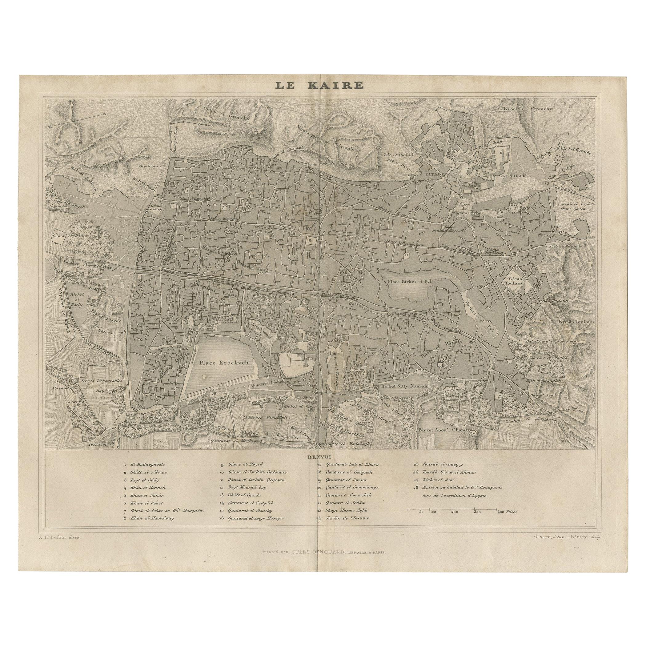
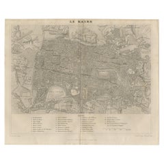
View AllAntique Map of Cairo and Surroundings by Balbi '1847'
Located in Langweer, NL
Antique map titled 'Le Kaire'. Original antique map of Cairo and surroundings, Egypt. This map originates from 'Abrégé de Géographie (..)' by Adrien Balbi. Published 1847.
Category
Antique Mid-19th Century Maps
Materials
Paper
$141 Sale Price
20% Off
Antique Map of Asia by Balbi '1847'
Located in Langweer, NL
Antique map titled 'Asie'. Original antique map of Asia. This map originates from 'Abrégé de Géographie (..)' by Adrien Balbi. Published 1847.
Category
Antique Mid-19th Century Maps
Materials
Paper

$188 Sale Price
20% Off
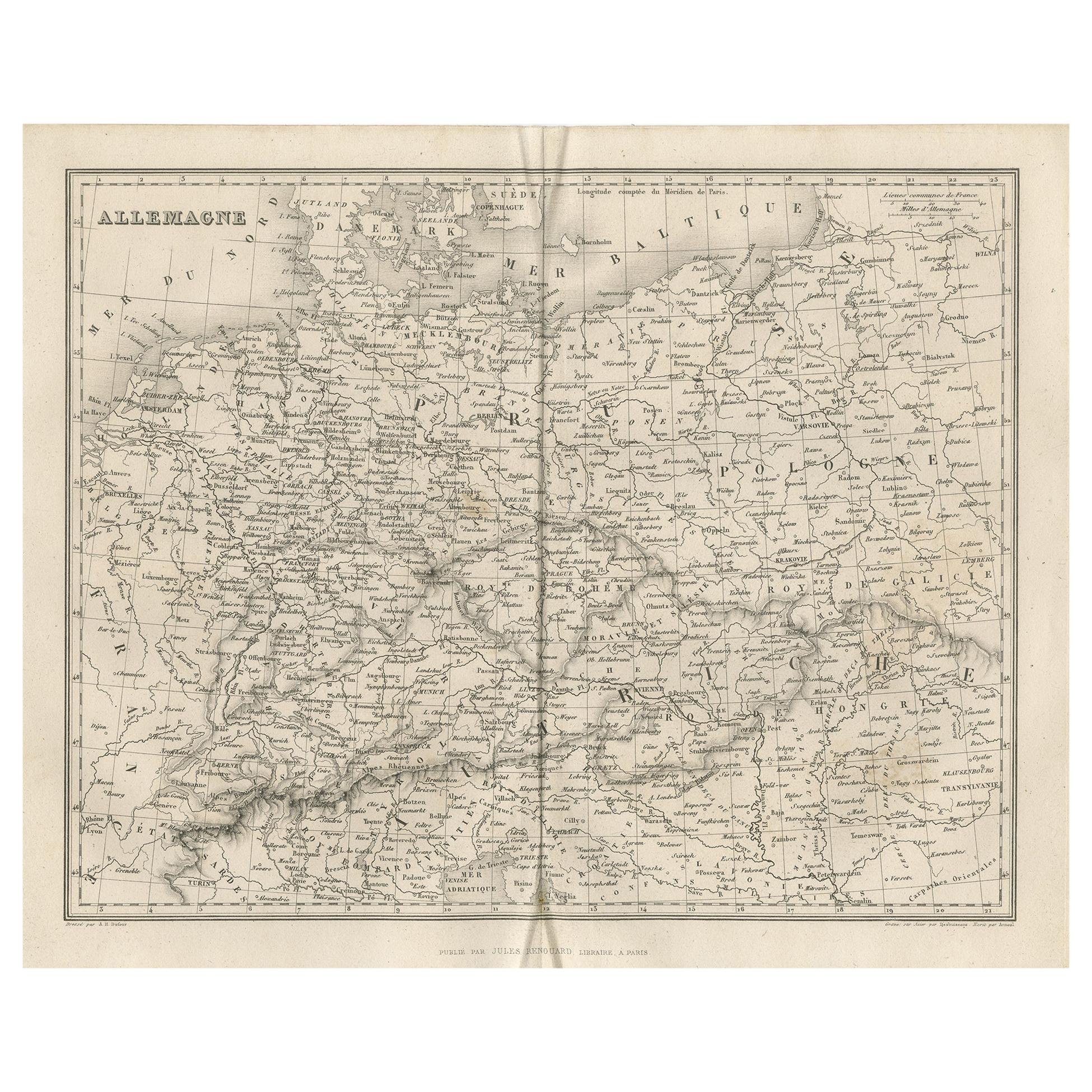
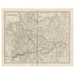
Antique Map of Germany by Balbi '1847'
Located in Langweer, NL
Antique map titled 'Allemagne'. Original antique map of Germany. This map originates from 'Abrégé de Géographie (..)' by Adrien Balbi. Published...
Category
Antique Mid-19th Century Maps
Materials
Paper
$141 Sale Price
20% Off
Antique Map of Oceania by Balbi '1847'
Located in Langweer, NL
Antique map titled 'Océanie'. Original antique map of Oceania. This map originates from 'Abrégé de Géographie (..)' by Adrien Balbi. Published 1847.
Category
Antique Mid-19th Century Maps
Materials
Paper

$141 Sale Price
20% Off
Antique Map of Europe by Balbi '1847'
Located in Langweer, NL
Antique map titled 'Europe'. Original antique map of Europe. This map originates from 'Abrégé de Géographie (..)' by Adrien Balbi. Published 1847.
Category
Antique Mid-19th Century Maps
Materials
Paper

$141 Sale Price
20% Off
Antique Map of France by Balbi '1847'
Located in Langweer, NL
Antique map titled 'France'. Original antique map of France. This map originates from 'Abrégé de Géographie (..)' by Adrien Balbi. Published 1847.
Category
Antique Mid-19th Century Maps
Materials
Paper

$117 Sale Price
20% Off
You May Also Like
Antique Map of Principality of Monaco
By Antonio Vallardi Editore
Located in Alessandria, Piemonte
ST/619 - "Old Geographical Atlas of Italy - Topographic map of ex-Principality of Monaco" -
ediz Vallardi - Milano -
A somewhat special edition ---
Category
Antique Late 19th Century Italian Other Prints
Materials
Paper

Original Antique Map of Spain and Portugal, circa 1790
Located in St Annes, Lancashire
Super map of Spain and Portugal
Copper plate engraving by A. Bell
Published, circa 1790.
Unframed.
Category
Antique 1790s English Other Maps
Materials
Paper

Original Antique Map of Ireland- Tipperary and Waterford. C.1840
Located in St Annes, Lancashire
Great map of Tipperary and Waterford
Steel engraving
Drawn under the direction of A.Adlard
Published by How and Parsons, C.1840
Unframed.
Category
Antique 1840s English Maps
Materials
Paper

Original Antique Map of Sweden, Engraved by Barlow, 1806
Located in St Annes, Lancashire
Great map of Sweden
Copper-plate engraving by Barlow
Published by Brightly & Kinnersly, Bungay, Suffolk. 1806
Unframed.
Category
Antique Early 1800s English Maps
Materials
Paper

Original Antique Map of United States, Grattan and Gilbert, 1843
Located in St Annes, Lancashire
Great map of United States
Drawn and engraved by Archer
Published by Grattan and Gilbert. 1843
Original colour
Unframed.
Category
Antique 1840s English Maps
Materials
Paper

Original Antique Map of The World by Thomas Clerk, 1817
Located in St Annes, Lancashire
Great map of The Eastern and Western Hemispheres
On 2 sheets
Copper-plate engraving
Drawn and engraved by Thomas Clerk, Edinburgh.
Published by Mackenzie And Dent, 1817
...
Category
Antique 1810s English Maps
Materials
Paper

Recently Viewed
View AllMore Ways To Browse
Constantinople Map
Antique Map Of The South Of France
Antique Maps Of Greece
Large Framed Maps
Java Map
Antique Marine Maps
Antique Indian Maps
West Africa Map
Antique Maps Of Wales
Antique Map Denmark
Antique Mining
Antique World Globe Map
Antique Oregon
Hemispheres Map
Map New Holland
Treasure Map
Caribbean Antiques
19th Century Map Of Africa