19th Century Maps
to
1,677
2,156
71
2,230
73
9
5
4
2
1
1
1
2,976
2,230
476
3
290
34
10
126
9
37
9
2
5
4
3
3
2,192
65
28
12
10
288
167
102
98
98
2,230
2,230
2,230
104
23
9
8
7
Period: 19th Century
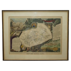
Fine Antique 1856 Hand Watercolour Map of Dept Des Hautes Alpes by Levasseur's
Located in West Sussex, Pulborough
We are delighted to offer for sale this stunning 1856 hand watercolour map of the Austrian Alps titled Dept Des Hautes Alpes taken from the Atlas National...
Category
French Early Victorian Antique 19th Century Maps
Materials
Paper
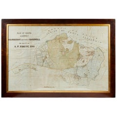
Antique Framed Pen and Ink on Fabric Map of Cornwall from Early 19th Century
Located in Los Angeles, CA
This English fabric map of Cornwall, rendered in pen-and-ink, showcases exquisite hand-drawn details and charming faded sepia tones. Encased in a classic frame, this piece elegantly ...
Category
English Antique 19th Century Maps
Materials
Walnut, Fabric
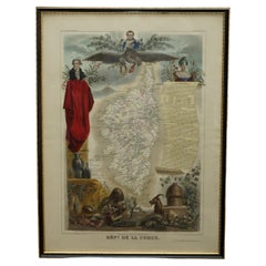
Beautiful Colour French Antique 1856 Hand Watercolour Map of Dept Des La Corse
Located in West Sussex, Pulborough
We are delighted to offer for sale this stunning 1856 hand watercolour map of the Austrian Alps titled Dept Des La Course taken from the Atlas National ...
Category
French Early Victorian Antique 19th Century Maps
Materials
Paper
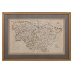
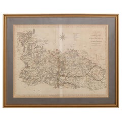
19th Century John Cary Map of South Part of West Riding of Yorkshire, circa 1805
By John Cary
Located in Royal Tunbridge Wells, Kent
Antique 19th century British original John Cary sr (1755-1835) map of South part of the West Riding of Yorkshire, From the beft Authorities. Engraved J Car...
Category
British Antique 19th Century Maps
Materials
Paper
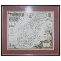
Double Sided Northamptonshire 1645 Hand Colored Antique Print Map Rare Find
Located in West Sussex, Pulborough
We are delighted to this lovely antique Atlas page map of Northamptonshire printed in 1645 Amsterdam Staffordiensis Comitatvs Vulgo
I have three of th...
Category
English Georgian Antique 19th Century Maps
Materials
Paper
$426 Sale Price
30% Off
19th Century John Cary Map of North Part of West Riding of Yorkshire, C.1805
By John Cary
Located in Royal Tunbridge Wells, Kent
Antique 19th century British original John Cary sr (1755-1835) map of North part of the West Riding of Yorkshire, From the beft Authorities. Engraved J Car...
Category
British Antique 19th Century Maps
Materials
Paper
Pair of Fine Desk Globes by J. Cary, 1816 and 1824
Located in Amsterdam, NL
A pair of desk globes by J. Cary
“Cary’s New Terrestrial Globe delineated from the best Authorities extant; exhibiting the late discoveries toward the North Pole and every improve...
Category
Antique 19th Century Maps
Materials
Other
$29,129 / set
1891 Map of Norfolk County Massachusetts
Located in Norwell, MA
1891 map of Norfolk county Massachusetts including the towns of Wrentham, Franklin, Medfield, Sherborn, Norwood etc., measures: 23 x 31.
Category
Antique 19th Century Maps
Map Wiltshire Joshua Archer Pentonville London framed 35cm 14" high
Located in BUNGAY, SUFFOLK
Map of Wiltshire Drawn & Engraved by Joshua Archer Pentonville London
Window Parts of Wiltshire in Berkshire
Explanation of Salisbury
County Divisions
Category
English Georgian Antique 19th Century Maps
Materials
Paper
Map Huntingdonshire R Scott Archibald Fullarton & Co Glasgow
Located in BUNGAY, SUFFOLK
Folding Map of Huntingdonshire by R Scott with distances from London and reference to the hundreds.
Published by Archibald Fullarton & Co Glasgow. Measure: 40...
Category
English Victorian Antique 19th Century Maps
Materials
Paper
