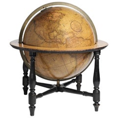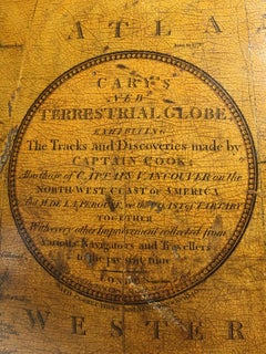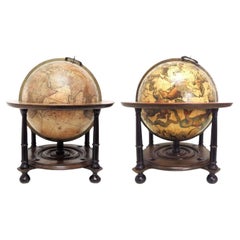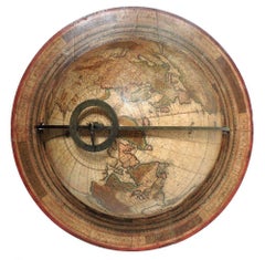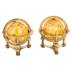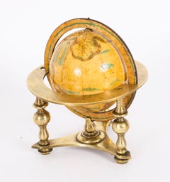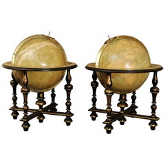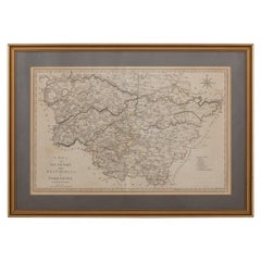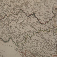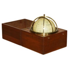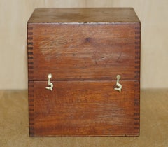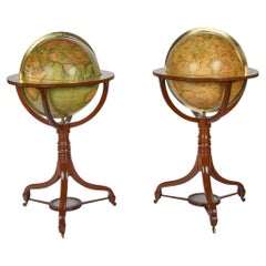
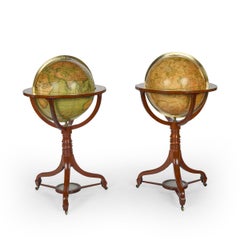
A Fine Pair of Cary Globes, Retailed by Kirk and Mercein of New York c.1816-1820
By John Cary
Located in Lymington, Hampshire
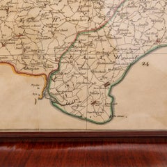
Of American Interest-A Fine Pair of Cary Globes, Retailed by Kirk and Mercein of New York c.1816-1820 The globes of celestial and terrestrial form with their original Cary of Lond...
Category
Early 19th Century English Antique John Cary Furniture
Materials
Wood