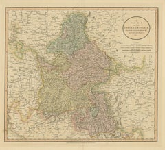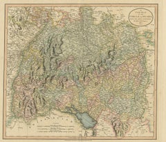
Antique Map of the Swabia Region of Germany by Cary, '1811'
By John Cary
Located in Langweer, NL
Antique map titled 'A New Map of the Circle of Swabia'. Antique map of Swabia in Southwestern Germany. Covers from the Upper Rhine region south as far as Switzerland, Lake Constance ...
Category
Early 19th Century Antique John Cary Prints
Materials
Paper