Items Similar to Antique Map of the Region of Le Mans 'France' by Blaeu, circa 1640
Want more images or videos?
Request additional images or videos from the seller
1 of 8
Antique Map of the Region of Le Mans 'France' by Blaeu, circa 1640
$479.26
$599.0720% Off
£356.78
£445.9720% Off
€400
€50020% Off
CA$656.46
CA$820.5820% Off
A$730.13
A$912.6620% Off
CHF 381.25
CHF 476.5620% Off
MX$8,884.91
MX$11,106.1320% Off
NOK 4,869.16
NOK 6,086.4520% Off
SEK 4,566.41
SEK 5,708.0220% Off
DKK 3,045.06
DKK 3,806.3320% Off
Shipping
Retrieving quote...The 1stDibs Promise:
Authenticity Guarantee,
Money-Back Guarantee,
24-Hour Cancellation
About the Item
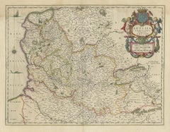
Antique Map: Cenomanorum Galliae regionis typus vulgo le Mans – Blaeu, circa 1640
This beautifully engraved and hand-colored map depicts the historical province of Maine in northwestern France, with a particular focus on the city of Le Mans. Created by the renowned cartographer Willem Janszoon Blaeu, it was published around 1640 as part of his prestigious atlas series. Known for its high artistic quality and geographic accuracy, Blaeu’s work remains highly sought after by collectors of antique maps.
The map offers a detailed portrayal of the region’s landscape, featuring rivers, forests, and numerous settlements. Le Mans, the historical capital of Maine, is prominently displayed along with other key towns such as Mayenne, Laval, and Château-du-Loir. The area was historically significant due to its strategic location, frequently witnessing battles and sieges, particularly during the Hundred Years’ War and conflicts between the Duchy of Anjou and the Kingdom of France.
An inset panel in the upper-right corner lists important towns within the region, enhancing the map’s historical and geographic value. The borders of Maine are carefully delineated, showing its neighboring territories: Normandy to the north, Anjou to the south, and Brittany to the west. Blaeu’s maps are known for their artistic elegance, and this piece is no exception, featuring an ornate title cartouche and finely executed details that reflect the craftsmanship of the Dutch Golden Age of cartography.
Today, Le Mans is best known for the famous 24 Hours of Le Mans, the world's oldest endurance motor race. However, this map transports us back to a time when the region’s identity was defined by medieval fortifications, noble estates, and ecclesiastical centers.
Tips for Framing and Display
To preserve and beautifully showcase this 17th-century map, consider the following framing recommendations:
- Use UV-protective glass or acrylic to prevent fading from light exposure. This is especially important for antique maps with original hand-coloring.
- Opt for archival-quality matting and backing to protect the paper from acidity and environmental damage. A neutral-colored mat will enhance the map’s antique charm.
- Select a classic wooden or gilded frame that complements the historical aesthetic of the piece. Dark wood or gold-leafed frames work particularly well with Blaeu’s style.
- Ensure the map is mounted in a reversible, conservation-friendly way, avoiding adhesives that could damage the paper over time. Hinged mounting with acid-free tape is preferred.
- Choose a well-lit but indirect-light location for display, avoiding direct sunlight or high-humidity areas to ensure longevity.
A properly framed Blaeu map can serve as a striking focal point in an office, library, or study, offering both artistic beauty and historical intrigue.
- Creator:Willem Blaeu (Artist)
- Dimensions:Height: 20.08 in (51 cm)Width: 23.23 in (59 cm)Depth: 0.02 in (0.5 mm)
- Materials and Techniques:Paper,Engraved
- Period:Mid-17th Century
- Date of Manufacture:circa 1640
- Condition:General age-related toning. Some staining in the margins, German text on verso. Please study images carefully or ask for more scans.
- Seller Location:Langweer, NL
- Reference Number:Seller: BG-12417-21stDibs: LU3054318571612
About the Seller
5.0
Recognized Seller
These prestigious sellers are industry leaders and represent the highest echelon for item quality and design.
Platinum Seller
Premium sellers with a 4.7+ rating and 24-hour response times
Established in 2009
1stDibs seller since 2017
2,510 sales on 1stDibs
Typical response time: <1 hour
- ShippingRetrieving quote...Shipping from: Langweer, Netherlands
- Return Policy
Authenticity Guarantee
In the unlikely event there’s an issue with an item’s authenticity, contact us within 1 year for a full refund. DetailsMoney-Back Guarantee
If your item is not as described, is damaged in transit, or does not arrive, contact us within 7 days for a full refund. Details24-Hour Cancellation
You have a 24-hour grace period in which to reconsider your purchase, with no questions asked.Vetted Professional Sellers
Our world-class sellers must adhere to strict standards for service and quality, maintaining the integrity of our listings.Price-Match Guarantee
If you find that a seller listed the same item for a lower price elsewhere, we’ll match it.Trusted Global Delivery
Our best-in-class carrier network provides specialized shipping options worldwide, including custom delivery.More From This Seller
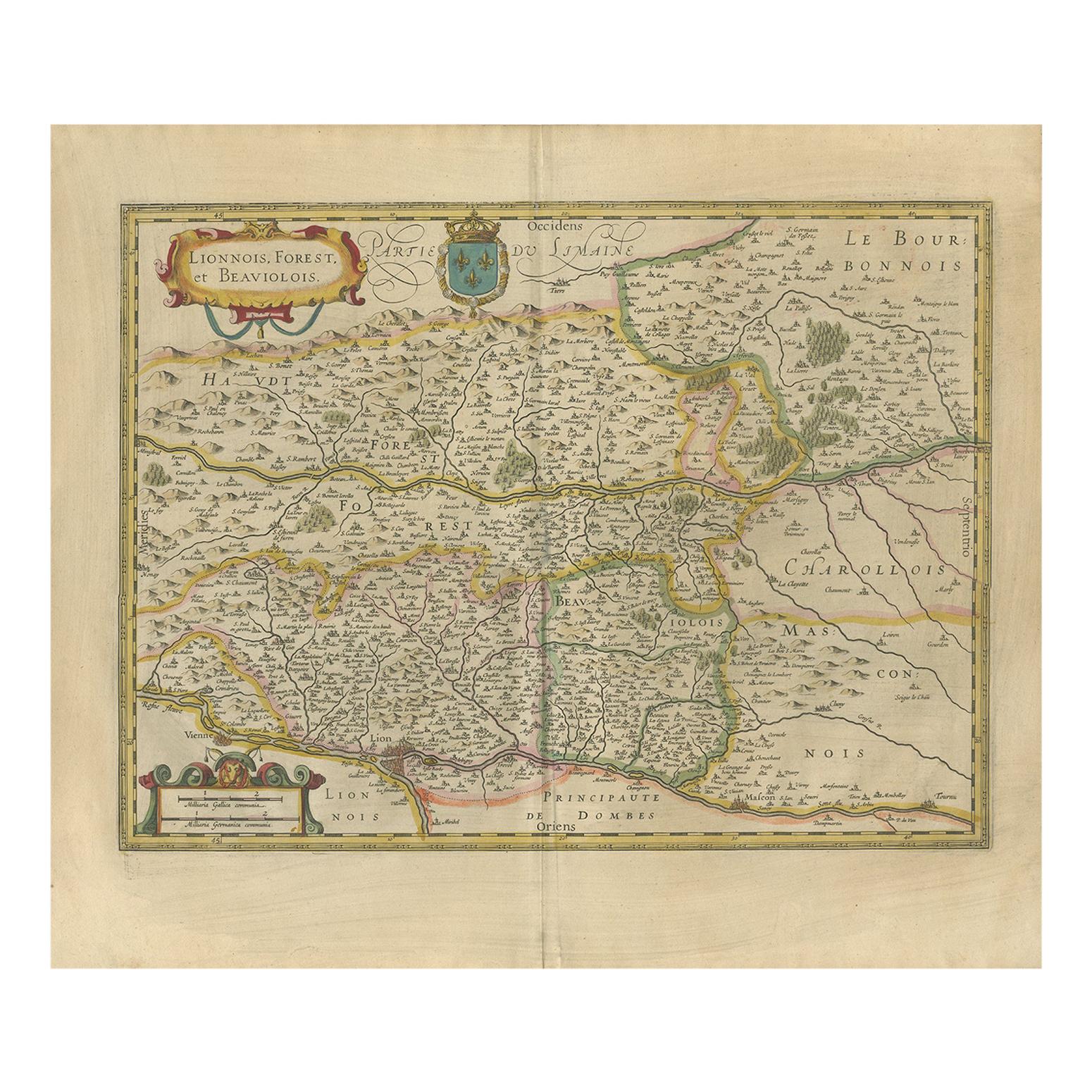
View AllAntique Map of the Region of Lyon by Hondius, circa 1630
Located in Langweer, NL
Antique map titled 'Lionnois, Forest et Beauiolois'. Old map of the former region of Lyon, Vienne, Bresse, Rohan and the Rhône River. This map originates f...
Category
Antique Mid-17th Century Maps
Materials
Paper
$479 Sale Price
20% Off
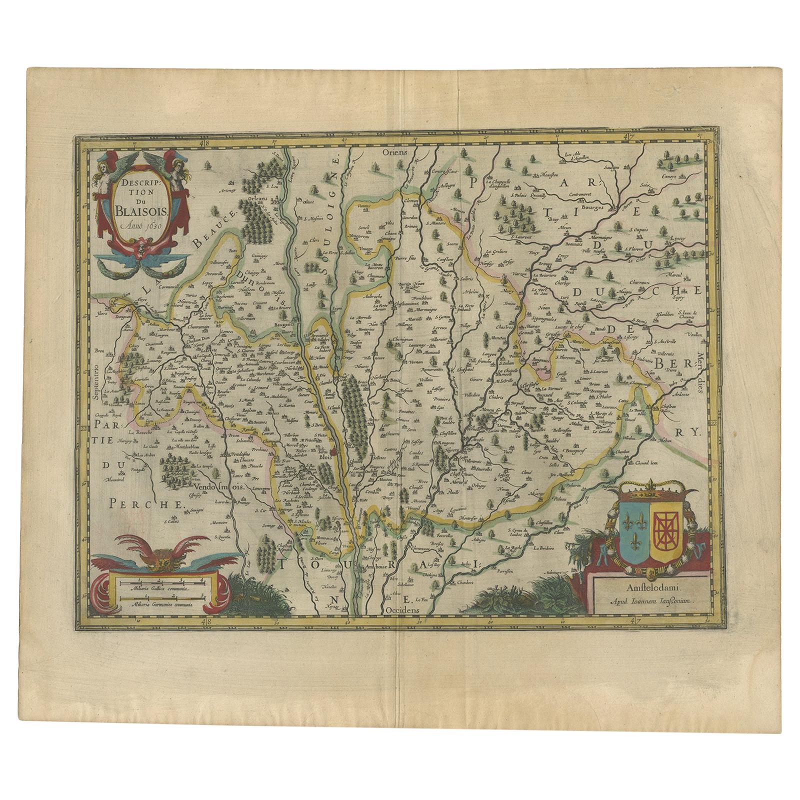
Antique Map of the Region of Blois by Janssonius, 'circa 1640'
By Johannes Janssonius
Located in Langweer, NL
Antique map titled 'Description du Blaisois'. Old map of the region of Blois, France. It shows the city of Blois, Amboise, the Loire River and more. Published by J. Janssonius, circa...
Category
Antique Mid-17th Century Maps
Materials
Paper
$389 Sale Price
35% Off
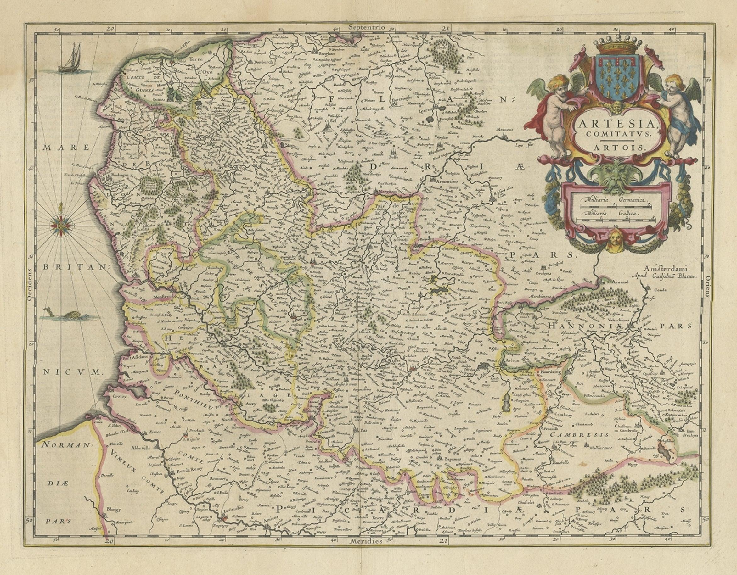
Antique Map of Artois in the North of France by Famous Mapmaker Blaeu, c.1640
Located in Langweer, NL
Antique map titled 'Artesia Comitatus Artois'. Map of Artois or Artesia, France. Artois is former province located in the northwestern part of France, boarding Belgium (Flanders) on ...
Category
Antique 17th Century Maps
Materials
Paper
$460 Sale Price
20% Off
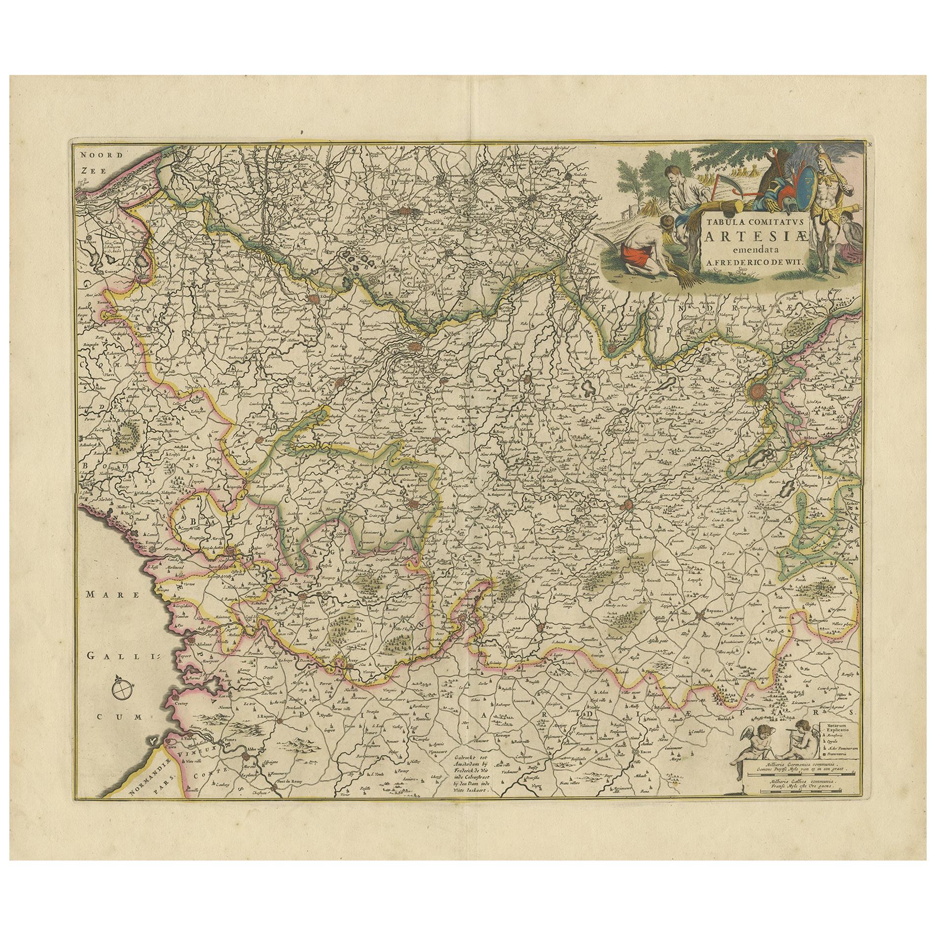
Antique Map of the Artois Region 'France' by F. de Wit, circa 1680
Located in Langweer, NL
Antique map titled 'Tabula Comitatus Artesiae emendata'. Large map of the Artois region, France. Published by F. de Wit, circa 1680.
Category
Antique Late 17th Century Maps
Materials
Paper
$516 Sale Price
25% Off
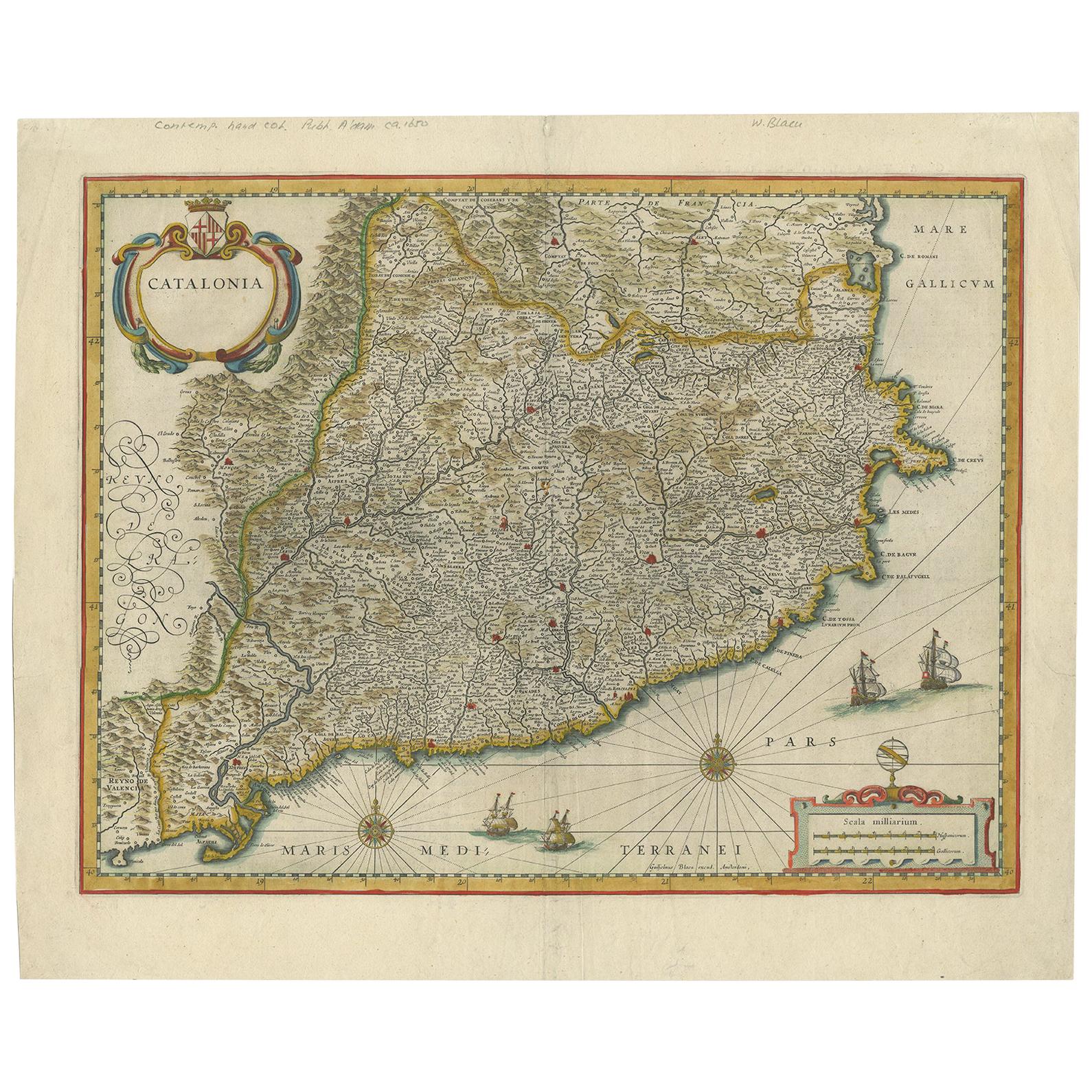
Antique Map of Catalonia by Blaeu, circa 1650
Located in Langweer, NL
Antique map titled 'Catalonia'. Antique map of Catalonia, extending from C. De Romani on the Northern Coast to Alfachs and Panicola in Valencia on the southern end of the coast and s...
Category
Antique Mid-17th Century Maps
Materials
Paper
$862 Sale Price
20% Off
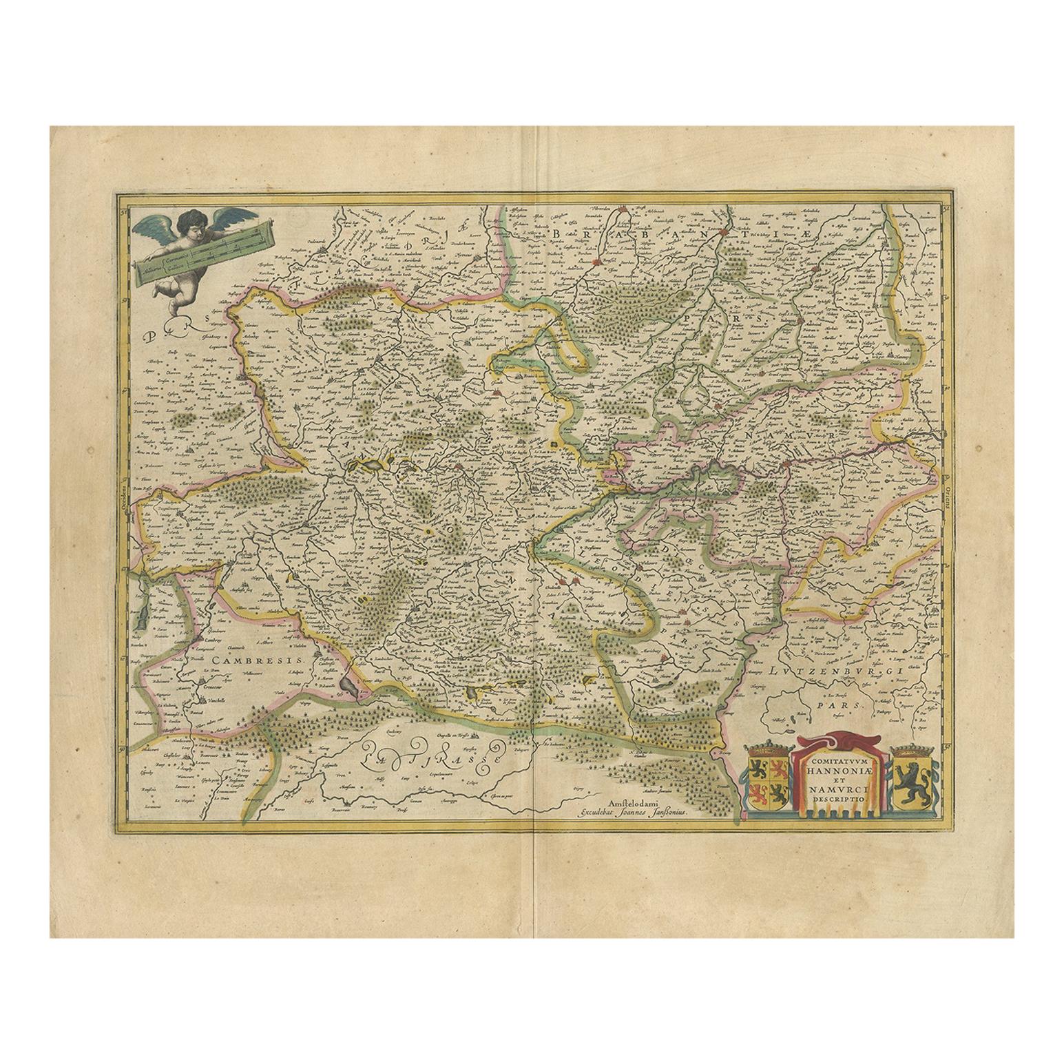
Antique Map of the Hainaut and Namur Region by Janssonius, 'circa 1640'
By Johannes Janssonius
Located in Langweer, NL
Antique map titled 'Comitatuum Hannoniae et Namurci Descriptio'. Old map of the region of Hainaut and Namur, France. Published by J. Janssonius, circa 1640.
Category
Antique Mid-17th Century Maps
Materials
Paper
$479 Sale Price
20% Off
You May Also Like
1640 Joan Bleau Map Entitled"Diocecese de rheims et le pais de rethel, " Eic.a011
Located in Norton, MA
1640 Joan Bleau map entitled
"Diocecese de rheims et le pais de rethel,"
Ric.a011
OAN BLAEU
Diocecese de Rheims, et le pais de Rethel.
Handcolored engraving, c.1640.
...
Category
Antique 17th Century Dutch Maps
Materials
Paper
1635 Willem Blaeu Map of Northern France"Comitatvs Bellovacvm" Ric.a08
Located in Norton, MA
1635 Willem Blaeu map of northern France, entitled.
"Comitatvs Bellovacvm Vernacule Beavvais,"
Colored
Ric.a008
“COMITATVS BELLOVACVM…” Amsterdam: W...
Category
Antique 17th Century Unknown Maps
Materials
Paper
1640 Willem Blaeu Map Entitled "Contado di molise et principato vltra, " Ric.a003
By Willem Blaeu
Located in Norton, MA
1640 Willem Blaeu map entitled
"Contado di molise et principato vltra,"
Colored
Ric. a003
Measures: 38 x 49.6 cm and wide margins
DBLAEU.
Cou...
Category
Antique 17th Century Dutch Maps
Materials
Paper
1590 Ortelius Map of Calais and Vermandois, France and Vicinity Ric.a014
Located in Norton, MA
1590 Ortelius map of
Calais and Vermandois, France and Vicinity
Ric.a014
Two rare regional Abraham Ortelius maps on a single folio sheet. Left map, entitled Caletensium, depic...
Category
Antique 16th Century Dutch Maps
Materials
Paper
1630 Pierre Petit map "Description du Gouvernement de la Capelle" Ric0010
Located in Norton, MA
1630 Pierre Petit map entitled
"Description du Gouvernement de la Capelle,"
Ric0010
Pierre Petit was the son of a minor provincial official in Montluçon. The town, in the Auver...
Category
Antique 17th Century Dutch Maps
Materials
Paper
1625 Mercator Map of the Provenience of Quercy, "Quercy Cadvrcivm Ric.0013
Located in Norton, MA
1625 Mercator map of the provenience of Quercy, entitled
"Quercy Cadvrcivm,"
Ric.0013
" Authentic" - Map of the provenience of Quercy Cadvrcivm
D...
Category
Antique 17th Century French Maps
Materials
Paper
More Ways To Browse
Blaeu Maps
Framed World Map
French Matting
Antique Furniture From Brittany France
Antique Map Of The South Of France
Antique Motor
17th Century Dutch Wood Frames
Blaeu World Map
Medieval Capital
Map Of Normandy
Antique Maps Of Africa
Antiques Compasses
Antique Navigation
Colonial Furniture Company
Mississippi Furniture
Antique Scottish Wood Furniture
Indonesia Map
Antique Framed Map Engravings
