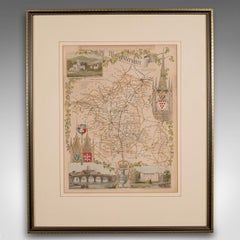
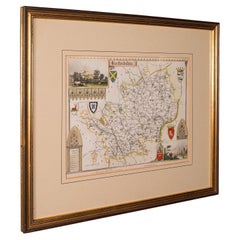
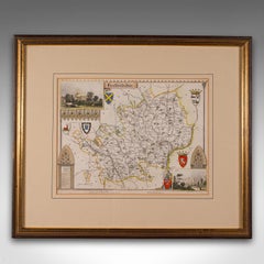
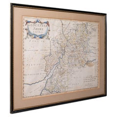
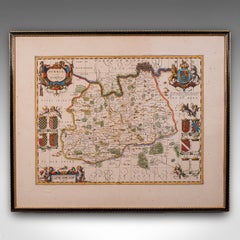
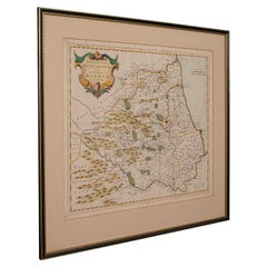
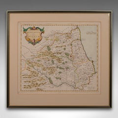
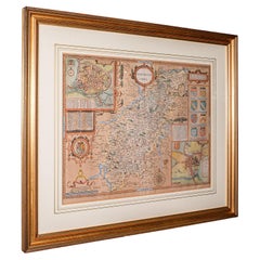
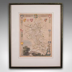
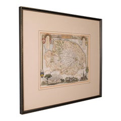
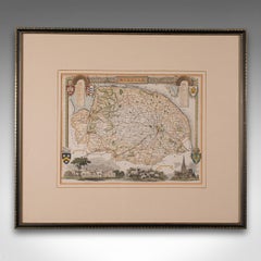
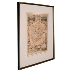
Antique Framed Map Engravings

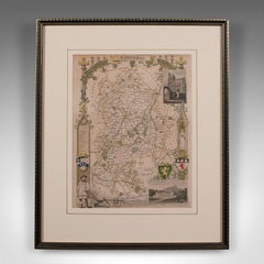
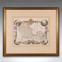
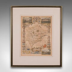
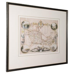
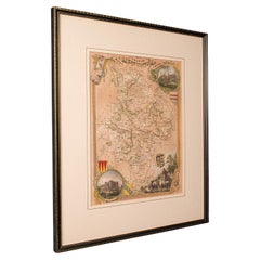
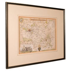
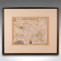
Antique Lithography Map, Bedfordshire, English, Framed Engraving, Cartography

Antique Lithography Map, Bedfordshire, English, Framed Engraving, Cartography

Located in Hele, Devon, GB

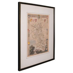
This is an antique lithography map of Bedfordshire. An English, framed atlas engraving of cartographic interest, dating to the mid 19th century and later.

Category

Antique Mid-19th Century British Victorian Maps

Materials

Wood

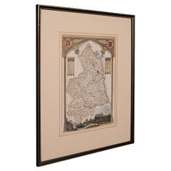
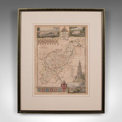
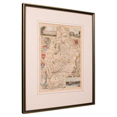
Antique Lithography Map, Northumberland, English, Framed, Engraving, Cartography

Antique Lithography Map, Northumberland, English, Framed, Engraving, Cartography

Located in Hele, Devon, GB

This is an antique lithography map of Northumberland. An English, framed atlas engraving of cartographic interest, dating to the mid 19th century and later.

Category

Antique Mid-19th Century British Victorian Maps

Materials

Wood

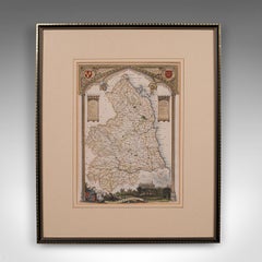
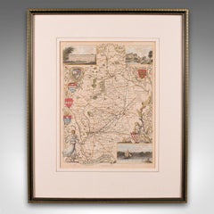
Antique Lithography Map, Worcestershire, English, Framed Engraving, Cartography

Antique Lithography Map, Worcestershire, English, Framed Engraving, Cartography

Located in Hele, Devon, GB

This is an antique lithography map of Worcestershire. An English, framed atlas engraving of cartographic interest, dating to the early 19th century and later.

Category

Antique Early 19th Century British Regency Maps

Materials

Wood

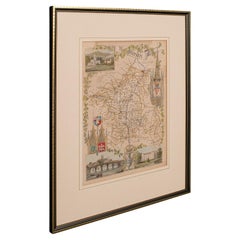
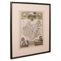
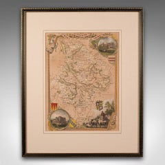
Antique County Map, Hertfordshire, English, Framed Engraving, Cartography, Litho

Antique County Map, Hertfordshire, English, Framed Engraving, Cartography, Litho

Located in Hele, Devon, GB

This is an antique county map of Hertfordshire. An English, framed atlas engraving of cartographic interest, dating to the mid 19th century and later.

Category

Antique Mid-19th Century British Victorian Maps

Materials

Glass, Wood, Paper

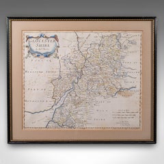
Antique Framed Gloucestershire Map, English Atlas Engraving, Cartography, C.1700

Antique Framed Gloucestershire Map, English Atlas Engraving, Cartography, C.1700

Located in Hele, Devon, GB

This is an antique framed map of Gloucestershire. An English, atlas engraving of cartographic interest By Robert Morden, dating to the late 17th century and later.

Category

Antique Early 18th Century British Queen Anne Maps

Materials

Glass, Paper

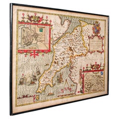
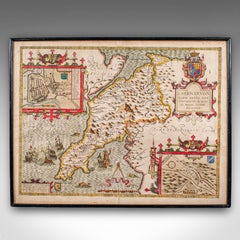
Antique Caernarvon Map, Framed Cartography, Welsh County, John Speed, Circa 1610

Antique Caernarvon Map, Framed Cartography, Welsh County, John Speed, Circa 1610

Located in Hele, Devon, GB

This is an antique Caernarvon map. An English, framed engraving of the historic Welsh county, dating to the 17th century and later, circa 1610.

Category

Antique 17th Century British Jacobean Maps

Materials

Glass, Paper

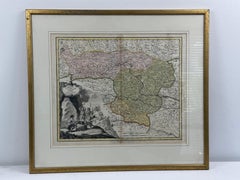
18th-century Antique Map of Austria and Slovenia

18th-century Antique Map of Austria and Slovenia

By Christoph Weigel

Located in Wilton Manors, FL

Christoph Weigel (1654-1725) Map of Austria and Slovenia, 1719. Hand-colored engraving on laid paper. Plate measures 15.25 x 12.75 inches. Framed measurement: 19 x 21 inches. Jo...

Category

1710s Landscape Prints

Materials

Engraving

Recent Sales

Antique Lithography Map, Hertfordshire, English, Framed Engraving, Cartography

Antique Lithography Map, Hertfordshire, English, Framed Engraving, Cartography

Located in Hele, Devon, GB

This is an antique lithography map of Hertfordshire. An English, framed atlas engraving of cartographic interest, dating to the mid 19th century and later.

Category

Antique Mid-19th Century British Victorian Maps

Materials

Wood

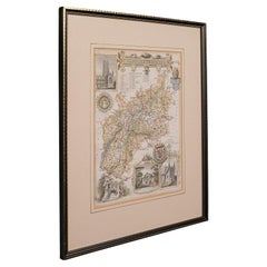
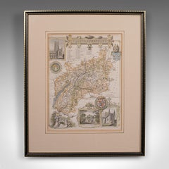
Antique Lithography Map, Gloucestershire, English, Framed Engraving, Cartography

Antique Lithography Map, Gloucestershire, English, Framed Engraving, Cartography

Located in Hele, Devon, GB

This is an antique lithography map of Gloucestershire. An English, framed atlas engraving of cartographic interest, dating to the mid 19th century and later.

Category

Antique Mid-19th Century British Victorian Maps

Materials

Wood

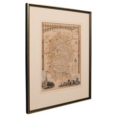
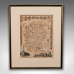
Antique Lithography Map, Wiltshire, English, Framed Engraving, Cartography

Antique Lithography Map, Wiltshire, English, Framed Engraving, Cartography

Located in Hele, Devon, GB

This is an antique lithography map of Wiltshire. An English, framed atlas engraving of cartographic interest, dating to the early 19th century and later.

Category

Antique Early 19th Century British Regency Maps

Materials

Wood

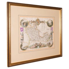
Antique Berkshire Map, English County, Framed Engraving, Cartography, Lithograph

Antique Berkshire Map, English County, Framed Engraving, Cartography, Lithograph

Located in Hele, Devon, GB

This is an antique county map of Berkshire. An English, framed atlas engraving of cartographic interest, dating to the mid 19th century and later.

Category

Antique Mid-19th Century British Victorian Maps

Materials

Glass, Wood, Paper

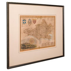
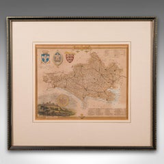
Antique County Map, Dorset, English, Framed Engraving, Cartography, Lithography

Antique County Map, Dorset, English, Framed Engraving, Cartography, Lithography

Located in Hele, Devon, GB

This is an antique lithography map of Dorset. An English, framed atlas engraving of cartographic interest, dating to the mid 19th century and later.

Category

Antique Mid-19th Century British Victorian Maps

Materials

Glass, Wood, Paper

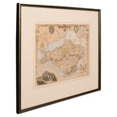
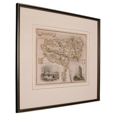
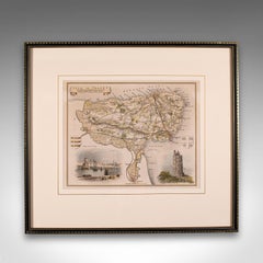
Antique Lithography Map, Isle of Wight, English, Framed, Engraving, Cartography

Antique Lithography Map, Isle of Wight, English, Framed, Engraving, Cartography

Located in Hele, Devon, GB

This is an antique lithography map of the Isle of Wight. An English, framed atlas engraving of cartographic interest, dating to the early 19th century and later.

Category

Antique Early 19th Century British Regency Maps

Materials

Wood

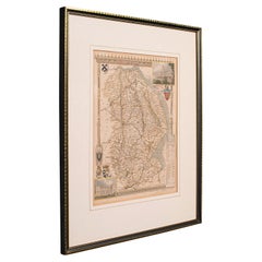
Antique Lithography Map, Lincolnshire, English, Framed, Engraving, Cartography

Antique Lithography Map, Lincolnshire, English, Framed, Engraving, Cartography

Located in Hele, Devon, GB

This is an antique lithography map of Lincolnshire. An English, framed atlas engraving of cartographic interest, dating to the mid 19th century and later.

Category

Antique Mid-19th Century British Victorian Maps

Materials

Wood

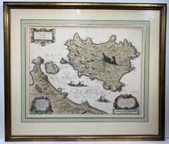
Ischia Isola, olim Aenaria (Antique Italian Map Italy)

Ischia Isola, olim Aenaria (Antique Italian Map Italy)

By Willem Blaeu

Located in Wilton Manors, FL

About this Item Map. Engraving. Image measures 14.75 x 19.25". Framed measurement: 24.5 x 27 inches. This stunning circa 1640 map of the volcanic island of Ischia located in the T...

Category

17th Century Baroque More Prints

Materials

Laid Paper, Engraving

You May Also Like

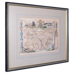
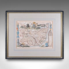
Vintage County Map, Suffolk, English, Framed, Cartography, After Thomas Moule

Vintage County Map, Suffolk, English, Framed, Cartography, After Thomas Moule

Located in Hele, Devon, GB

This is a vintage county map of Suffolk. An English, atlas reproduction of the Thomas Moule original, dating to the late 20th century, circa 1980. Eye-catching Thomas Moule cartogra...

Category

Vintage 1980s British Early Victorian Maps

Materials

Glass, Paper

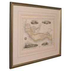
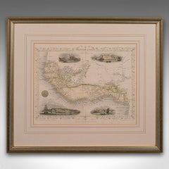
Antique Lithography Map, West Africa, English, Framed, Cartography, Victorian

Antique Lithography Map, West Africa, English, Framed, Cartography, Victorian

$677Sale Price|20% Off

H 17.52 in W 19.89 in D 0.79 in

Antique Lithography Map, West Africa, English, Framed, Cartography, Victorian

Located in Hele, Devon, GB

This is an antique lithography map of Western Africa. An English, framed atlas engraving of cartographic interest by John Rapkin, dating to the early Victorian period and later, circ...

Category

Antique Mid-19th Century British Early Victorian Maps

Materials

Wood

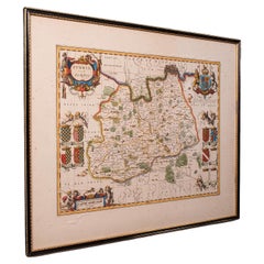
Antique Map of Surrey, English, Framed County Cartography, After Blaeu, C.1690

Antique Map of Surrey, English, Framed County Cartography, After Blaeu, C.1690

$1,299Sale Price|20% Off

H 20.87 in W 25.2 in D 0.4 in

Antique Map of Surrey, English, Framed County Cartography, After Blaeu, C.1690

Located in Hele, Devon, GB

This is an antique map of Surrey. An English, framed cartography engraving by Willem Janszoon Blaeu, this centre fold edition dating to the William & Mary period, circa 1690. A fine...

Category

Antique 1690s British William and Mary Maps

Materials

Glass, Paper

Antique Lithography Map, Durham, English, Framed, Cartography, Early Georgian

Antique Lithography Map, Durham, English, Framed, Cartography, Early Georgian

$677Sale Price|20% Off

H 20.28 in W 21.86 in D 0.6 in

Antique Lithography Map, Durham, English, Framed, Cartography, Early Georgian

Located in Hele, Devon, GB

This is an antique lithography map of Durham. An English, framed engraving of cartographic interest, dating to the early 18th century and later, circa 1720. Superb lithography of Du...

Category

Antique Early 18th Century British Georgian Maps

Materials

Wood

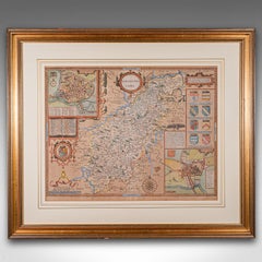
Large Antique Lithography Map, Northamptonshire, Framed Cartography, John Speed

Large Antique Lithography Map, Northamptonshire, Framed Cartography, John Speed

$1,309Sale Price|20% Off

H 24.22 in W 28.55 in D 1.19 in

Large Antique Lithography Map, Northamptonshire, Framed Cartography, John Speed

Located in Hele, Devon, GB

This is a large antique lithography map of Northamptonshire. An English, framed atlas engraving of cartographic interest by John Speed, dating to the early 17th century and later. ...

Category

Antique Mid-17th Century British Other Maps

Materials

Glass, Wood, Paper

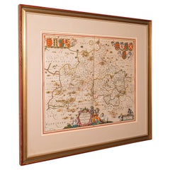
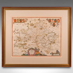
Antique County Map, Buckinghamshire, Bedfordshire, Dutch, Framed, Janssonius

Antique County Map, Buckinghamshire, Bedfordshire, Dutch, Framed, Janssonius

$1,309Sale Price|20% Off

H 24.02 in W 27.76 in D 0.79 in

Antique County Map, Buckinghamshire, Bedfordshire, Dutch, Framed, Janssonius

Located in Hele, Devon, GB

This is an antique county map of Buckinghamshire and Bedfordshire. A Dutch, framed atlas engraving by Johannes Janssonius, dating to the 17th century and later. A treat for the col...

Category

Antique Mid-17th Century Dutch Maps

Materials

Paper

Antique Lithography Map, Buckinghamshire, English, Framed Cartography, Victorian

Antique Lithography Map, Buckinghamshire, English, Framed Cartography, Victorian

Located in Hele, Devon, GB

This is an antique lithography map of Buckinghamshire. An English, framed atlas engraving of cartographic interest, dating to the mid 19th century and later. Superb lithography of B...

Category

Antique Mid-19th Century British Victorian Maps

Materials

Wood, Paper

Antique County Map, Norfolk, English, Framed Lithography, Cartography, Victorian

Antique County Map, Norfolk, English, Framed Lithography, Cartography, Victorian

Located in Hele, Devon, GB

This is an antique lithography map of Norfolk. An English, framed atlas engraving of cartographic interest, dating to the mid 19th century and later. Superb lithography of Norfolk a...

Category

Antique Mid-19th Century British Victorian Maps

Materials

Glass, Wood

Antique County Map, Rutlandshire, English, Framed, Cartography, Victorian, 1860

Antique County Map, Rutlandshire, English, Framed, Cartography, Victorian, 1860

Located in Hele, Devon, GB

This is an antique lithography map of Rutlandshire. An English, framed atlas engraving of cartographic interest, dating to the mid 19th century and later. Superb lithography of Rutl...

Category

Antique Mid-19th Century British Victorian Maps

Materials

Wood

Antique Nottinghamshire Map, English, Framed, Cartographic Interest, Victorian

Antique Nottinghamshire Map, English, Framed, Cartographic Interest, Victorian

Located in Hele, Devon, GB

This is an antique lithography map of Nottinghamshire. An English, framed atlas engraving of cartographic interest, dating to the mid 19th century and later. Superb lithography of ...

Category

Antique Mid-19th Century British Victorian Maps

Materials

Wood

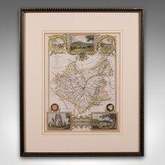
Antique Leicestershire Map, English, Framed Cartographic Interest, Victorian

Antique Leicestershire Map, English, Framed Cartographic Interest, Victorian

Located in Hele, Devon, GB

This is an antique lithography map of Leicestershire. An English, framed atlas engraving of cartographic interest, dating to the mid 19th century and later. Superb lithography of Le...

Category

Antique Mid-19th Century British Victorian Maps

Materials

Wood

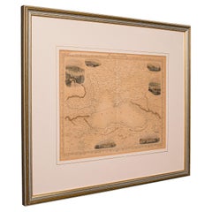
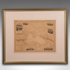
Antique Lithography Map, Black Sea, English, Framed, Cartography, Victorian

Antique Lithography Map, Black Sea, English, Framed, Cartography, Victorian

$677Sale Price|20% Off

H 17.72 in W 20.48 in D 0.79 in

Antique Lithography Map, Black Sea, English, Framed, Cartography, Victorian

Located in Hele, Devon, GB

This is an antique lithography map of the Black Sea region. An English, framed atlas engraving of cartographic interest by John Rapkin, dating to the early Victorian period and later...

Category

Antique Mid-19th Century British Early Victorian Maps

Materials

Wood

Antique Lithography Map, Isle of Thanet, Kent, English, Cartography, Victorian

Antique Lithography Map, Isle of Thanet, Kent, English, Cartography, Victorian

$552Sale Price|20% Off

H 14.57 in W 16.15 in D 0.6 in

Antique Lithography Map, Isle of Thanet, Kent, English, Cartography, Victorian

Located in Hele, Devon, GB

This is an antique lithography map of The Isle of Thanet in Kent. An English, framed atlas engraving of cartographic interest, dating to the mid 19th century and later. Superb litho...

Category

Antique Mid-19th Century British Victorian Maps

Materials

Wood

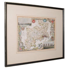
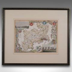
Antique County Map, Middlesex, English, Framed, Litho, Cartography, Victorian

Antique County Map, Middlesex, English, Framed, Litho, Cartography, Victorian

$552Sale Price|20% Off

H 13.78 in W 16.15 in D 0.6 in

Antique County Map, Middlesex, English, Framed, Litho, Cartography, Victorian

Located in Hele, Devon, GB

This is an antique lithography map of Middlesex. An English, framed atlas engraving of cartographic interest, dating to the mid 19th century and later. Superb lithography of Middle...

Category

Antique Mid-19th Century British Victorian Maps

Materials

Paper

Antique County Map, Berkshire, English Framed Lithograph, Cartography, Victorian

Antique County Map, Berkshire, English Framed Lithograph, Cartography, Victorian

Located in Hele, Devon, GB

This is an antique lithography map of Berkshire. An English, framed atlas engraving of cartographic interest, dating to the mid 19th century and later. Superb lithography of Berksh...

Category

Antique Mid-19th Century British Victorian Maps

Materials

Paper

Antique Lithography Map, Huntingdonshire, English, Framed Cartography, Victorian

Antique Lithography Map, Huntingdonshire, English, Framed Cartography, Victorian

Located in Hele, Devon, GB

This is an antique lithography map of Huntingdonshire. An English, framed atlas engraving of cartographic interest, dating to the mid 19th century and later. Superb lithography of ...

Category

Antique Mid-19th Century British Victorian Maps

Materials

Glass, Wood, Paper

People Also Browsed

New York City 5th Avenue Empire State Impressionist Winter Scene Oil Painting

New York City 5th Avenue Empire State Impressionist Winter Scene Oil Painting

By Christopher Willett

Located in Philadelphia, PA

Impressionist New York City, a snowy winter day on 5th avenue. Cars fill the street and snow fills the air. The city that never sleeps gleaming with patriotic pride with the famous E...

Category

Late 20th Century American Classical Paintings

Materials

Canvas, Paint

Original Vintage World War Two Poster Hit Back With Your War Savings WWII

Original Vintage World War Two Poster Hit Back With Your War Savings WWII

Located in London, GB

Original vintage World War Two poster - Hit Back With Your War Savings - featuring a dynamic image in black, blue and red colours of a worker holding a sledgehammer above his head wi...

Category

Vintage 1940s British Posters

Materials

Paper

Original Vintage WWII Home Front Propaganda Poster We Want You With Us War Work

Original Vintage WWII Home Front Propaganda Poster We Want You With Us War Work

Located in London, GB

Original vintage World War Two home front propaganda poster - We want You with us! There's a place for everyone locally or somewhere in England Get into War Work this week - featurin...

Category

Vintage 1940s British Posters

Materials

Paper

19th Century Napoleon III Period Mother-of-Pearl and Marquetry Drinks Box

19th Century Napoleon III Period Mother-of-Pearl and Marquetry Drinks Box

Located in London, GB

A Fine Napoleon III Mother-of-Pearl Inlaid and Marquetry Drinks Box Of serpentine rectangular form, veneered primarily with burr yew, and tulipwood crossbanding, thuya wood, ebony a...

Category

Antique 19th Century French Napoleon III Barware

Materials

Mother-of-Pearl, Glass, Tulipwood, Yew

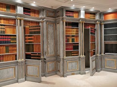
Wood Paneled Room with Trompe L'oeil Library Decoration, Late 20th Century

Wood Paneled Room with Trompe L'oeil Library Decoration, Late 20th Century

Located in SAINT-OUEN-SUR-SEINE, FR

This piece of woodwork was made at the extreme end of the 20th century, around 1985 and comes from a Parisian mansion. It presents a grey paneled decoration enhanced with gold, comp...

Category

20th Century French Louis XVI Panelling

Materials

Wood

Victorian Bobbin-Turned Walnut Adjustable Coat Rack, England, Early 1900

Victorian Bobbin-Turned Walnut Adjustable Coat Rack, England, Early 1900

Located in Roma, IT

Marvelous Victorian coat rack fully made in walnut. This stunning and unique piece was made in England between the end of the 19th Century and the start of the 20th Century. The uni...

Category

Antique Early 1900s English Late Victorian Coat Racks and Stands

Materials

Metal, Brass

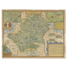
Antique Map of Hertfordshire in England by Speed, 1627

Antique Map of Hertfordshire in England by Speed, 1627

Located in Langweer, NL

Antique map titled 'Hartfordshire described the sittuations of Hartford (..)'. Map of Hertfordshire, England. Includes inset maps of Hertford and the Roman settlement of Verolani...

Category

Antique 17th Century Maps

Materials

Paper

Original Vintage War Propaganda Poster They Too Buy Victory Bonds Canada WWII

Original Vintage War Propaganda Poster They Too Buy Victory Bonds Canada WWII

Located in London, GB

Original vintage World War Two propaganda poster - Eux Aussi Achetent des Obligations de la Victoire / They Too Buy Victory Bonds - featuring artwork by Charles Comfort (1900-1994) d...

Category

Vintage 1940s Canadian Posters

Materials

Paper

Spanish Modernist Female Figure Drawing Catalan Post-Impressionist Pencil Work

Spanish Modernist Female Figure Drawing Catalan Post-Impressionist Pencil Work

By Casimir Martinez Tarrasso

Located in Sitges, Barcelona

Spanish Modernist Female Figure Drawing, Catalan Post-Impressionist Pencil Work Elegant 1970s pencil drawing of a seated woman by Casimir Martínez Tarrassó, a Catalan artist connecte...

Category

1970s Impressionist Interior Drawings and Watercolors

Materials

Pencil

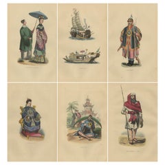
Chinese Cultural Figures in 1844 Wahlen Lithographs of Dress and Traditions

Chinese Cultural Figures in 1844 Wahlen Lithographs of Dress and Traditions

Located in Langweer, NL

Title: "Chinese Cultural Figures in 1844 Wahlen Lithographs of Dress and Traditions" These colorful lithographs represent a variety of Chinese cultural figures, including a noblewom...

Category

Antique 1840s Prints

Materials

Paper

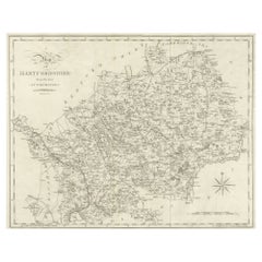
Large Antique County Map of Hertfordshire, England

Large Antique County Map of Hertfordshire, England

$316

H 16.62 in W 20.99 in D 0.02 in

Large Antique County Map of Hertfordshire, England

Located in Langweer, NL

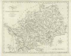
Antique map titled 'A Map of Hartfordshire from the best Authorities'. Original old county map of Hertfordshire, England. Engraved by John Cary. Originates from 'New British Atlas' b...

Category

Antique Early 19th Century Maps

Materials

Paper

Antique Environs of Bath & Bristol Map, English, Framed Cartography, Victorian

Antique Environs of Bath & Bristol Map, English, Framed Cartography, Victorian

$552Sale Price|20% Off

H 13.98 in W 16.74 in D 0.6 in

Antique Environs of Bath & Bristol Map, English, Framed Cartography, Victorian

Located in Hele, Devon, GB

This is an antique region map of Bath and Bristol. An English, framed atlas engraving of cartographic interest, dating to the mid 19th century and later. Superb lithography of Bath...

Category

Antique Mid-19th Century British Victorian Maps

Materials

Glass, Wood, Paper

Vintage Exhibition Poster - Offset Print after Jean Fautrier - 2006

Vintage Exhibition Poster - Offset Print after Jean Fautrier - 2006

By Jean Fautrier

Located in Roma, IT

Vintage Exhibition Poster is a vintage Offset print realized for the exhibition of Jean Fautrier in 2006. Good condition, no signature. The exhibition is in Galerie Di Meo in Paris...

Category

21st Century and Contemporary Abstract Abstract Prints

Materials

Offset

Get Updated with New Arrivals
Save "Antique Framed Map Engravings", and we’ll notify you when there are new listings in this category.

Antique Framed Map Engravings For Sale on 1stDibs

Find a variety of antique framed map engravings available on 1stDibs. Frequently made of paper, wood and glass, all antique framed map engravings available were constructed with great care. We have 76 antique and vintage antique framed map engravings in-stock, while there are 4 modern editions to choose from as well. There are all kinds of antique framed map engravings available, from those produced as long ago as the 18th Century to those made as recently as the 21st Century. Antique framed map engravings made by Victorian designers — as well as those associated with Georgian — are very popular at 1stDibs. There have been many well-made antique framed map engravings over the years, but those made by Pieter Schenk the Elder, Matthäus Merian the Elder and Frederick de Wit are often thought to be among the most beautiful.

Finding the Right Collectibles-curiosities for You

Antique and vintage collectibles and curiosities can bring whimsy and wonder to any interior. 

Decorating with old scientific instruments, historical memorabilia and vintage musical instruments, as well as other authentic collectibles and curiosities that can be found on 1stDibs, presents an opportunity to create a unique, natural history museum-like atmosphere in your home that can provoke conversation as often as it pays tribute to how far we’ve come in understanding our world. 

And bringing collectibles and curiosities into your space is actually on trend — Wunderkammern, or curiosity cabinets, were all the rage in Europe during the 1500s and continued to have adherents there and in the U.S. in the following centuries. Today, however, they’re experiencing a real surge in popularity and influencing how many interior designers are furnishing and decorating homes — combining contemporary with antique, scientific with tribal, earthly with extraterrestrial, Les Lalanne tables with Flemish tapestries.

The original Wunderkammern were entire rooms filled with objects demonstrating their owners’ worldly knowledge: A proper one included artificiala or preciosa (objets d’art); naturalia (such as skeletons, shells, minerals); exotica (taxidermy or dried plants); and scientifica (scientific instruments), frequently alongside religious relics and ancient artifacts.

Pay tribute to a history of rich and diverse musical traditions that have taken shape all over the world by decorating your home with a collection of antique and vintage musical instruments — with a little help from strong hanging wire or some wall hooks, vintage brass instruments such as a gong, French horn or trumpet can help elevate a home office or complement the efforts you’ve made to ensure a welcoming vibe in your home’s entryway. Bells or antique wind instruments can add provocative metallic contrasts to dark woods as tabletop decorative objects.  

Create an intriguing focal point with Georgian scientific instruments, such as stick barometers with mahogany cases or lacquered brass telescopes. These items stem from an era named for the monarchies of the four King Georges, who ruled England in succession starting in 1714 (plus King William’s reign, which lasted until 1837). Just as there was beautiful jewelry produced during the period that today is coveted by collectors, there is much to be found in the collectibles and curiosities realm too.

Wanderlust, nostalgia and a shared love of good design are contributing factors to certain trends in decorating — just as vintage trunks and luggage have reappeared as furniture or home accents in a bedroom or foyer, decorating with globes, maps or nautical objects is similarly rooted in the allure of travel and a penchant for the stylish finishing touch that collectibles bring to our homes.

Find a wide range of antique and vintage collectibles and curiosities on 1stDibs.
Read More