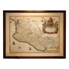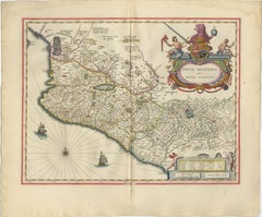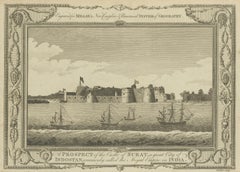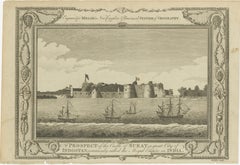
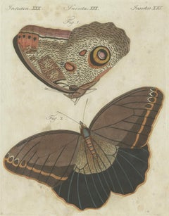
Forest Giant Owl Butterfly (Caligo eurilochus) from Suriname, Published in 1802
$83Sale Price|20% Off
Forest Giant Owl Butterfly (Caligo eurilochus) from Suriname, Published in 1802
Located in Langweer, NL
Title: Forest Giant Owl Butterfly (Caligo eurilochus) Description: Handcoloured copperplate engraving of the Forest Giant Owl Butterfly, depicting the upperside (figure 2) and under...
Category
Antique Early 1800s Prints
Materials
Paper