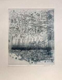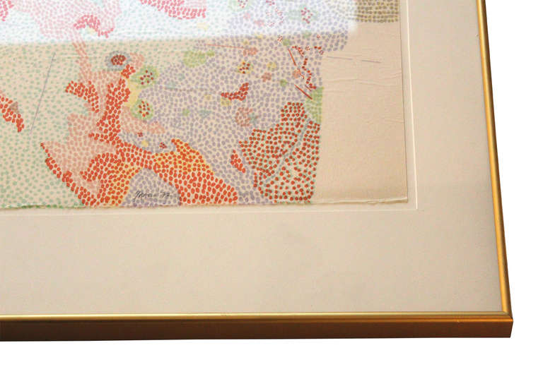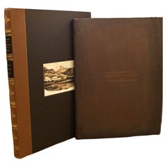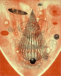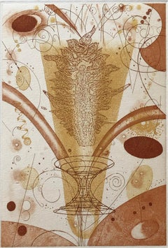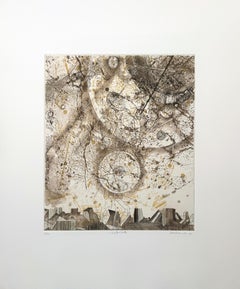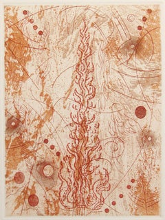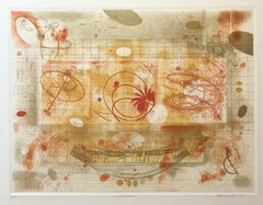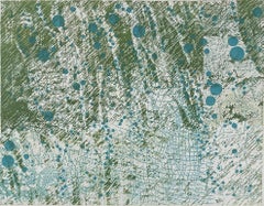
Rain On Ferns, by Rosalyn Richards
By Rosalyn Richards
Located in Palm Springs, CA
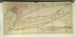
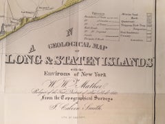
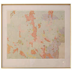
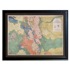
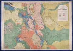
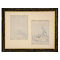
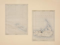
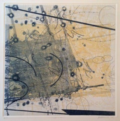
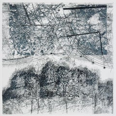
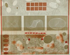
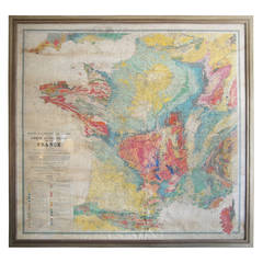
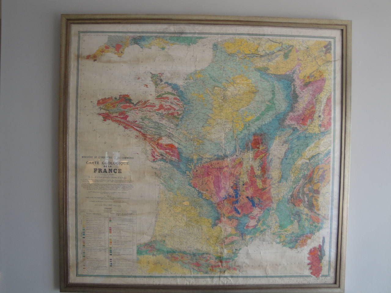
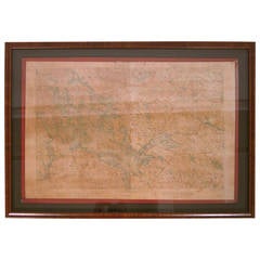
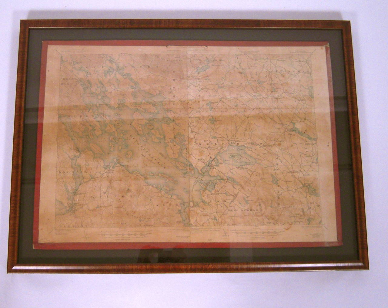
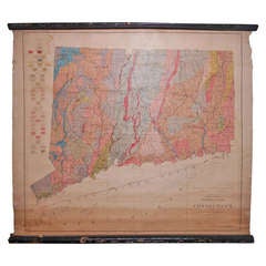
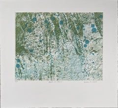
Images from particle physics, satellite photography, biotechnology, radiology, geological survey maps, have all served as influences on Richards' work.
Category
21st Century and Contemporary Abstract Abstract Prints
Materials
Etching, Aquatint