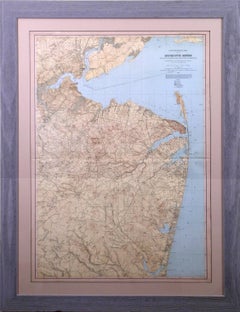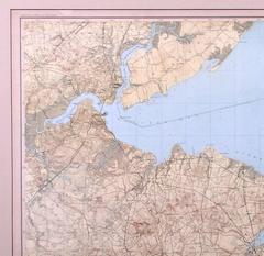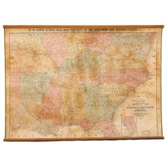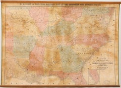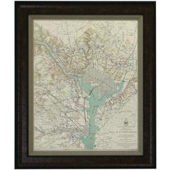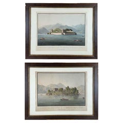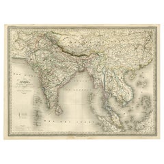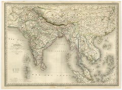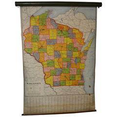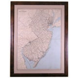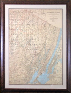
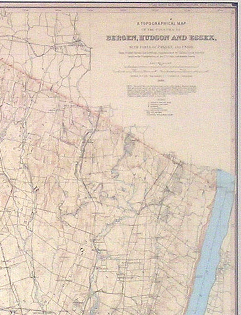
Julius BienBergen, Hudson, and Essex, 1883
Unavailable|$4,100
Bergen, Hudson, and Essex
By Julius Bien
Located in Florham Park, NJ
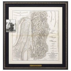
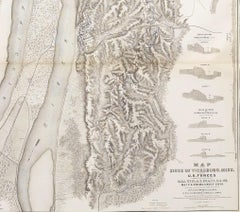
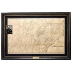
Survey atlases and military field maps. He was also the first president of the National Lithographers
Category
Late 19th Century Academic Prints and Multiples
Materials
Lithograph