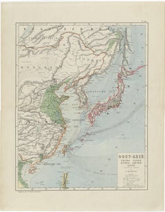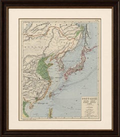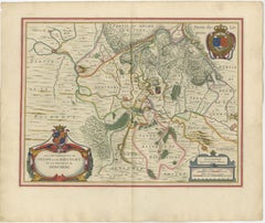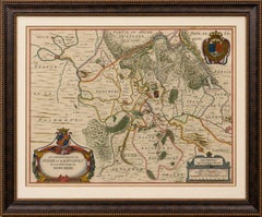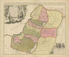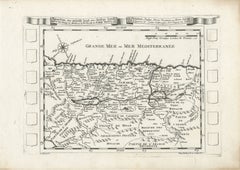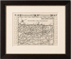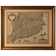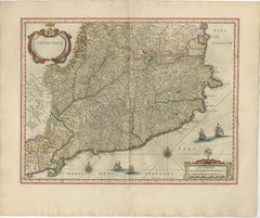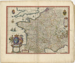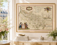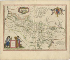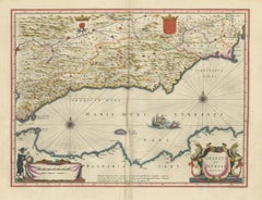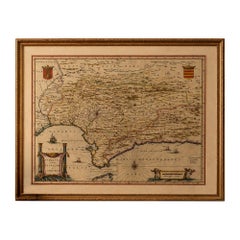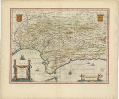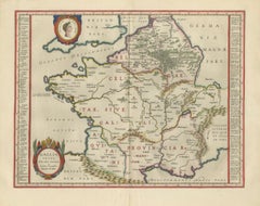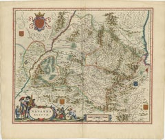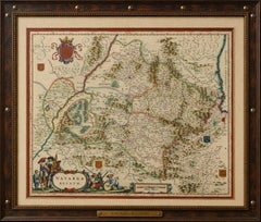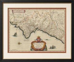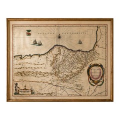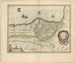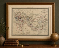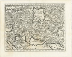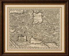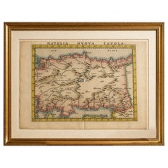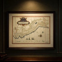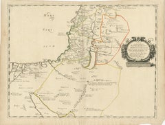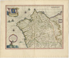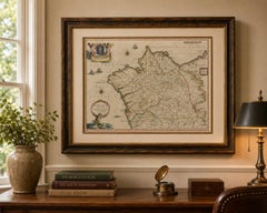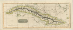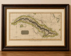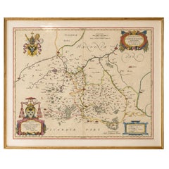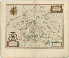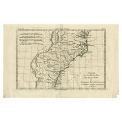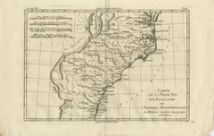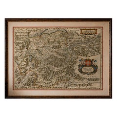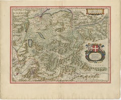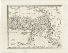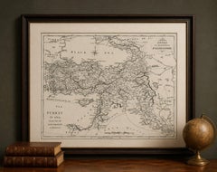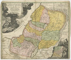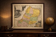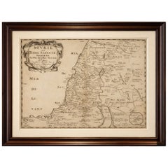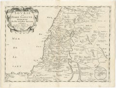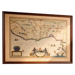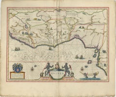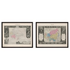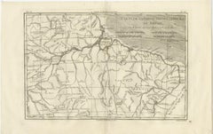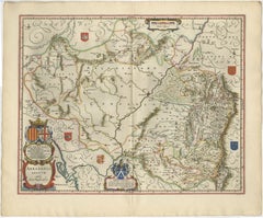
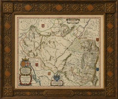
Blaeu Map of Aragon – Arragonia Regnum, Decorative Spain Atlas Map, 1642
$4,699
H 19.69 in W 23.23 in D 0.01 in
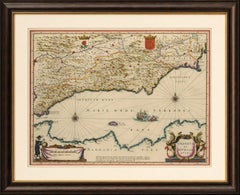
Blaeu Map of Aragon – Arragonia Regnum, Decorative Spain Atlas Map, 1642
Located in Langweer, NL
cartography. The map depicts the region of Aragon in remarkable detail, extending from the Pyrenees in the
Category
Mid-17th Century Dutch Antique Cartography
Materials
Paper