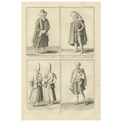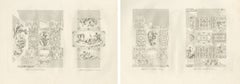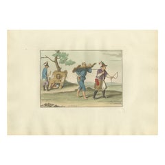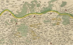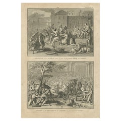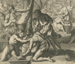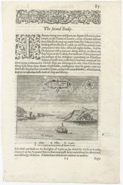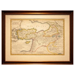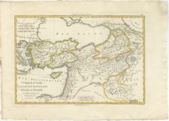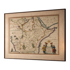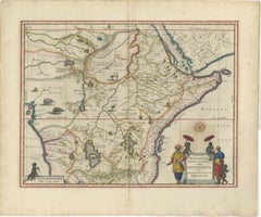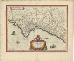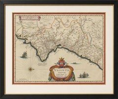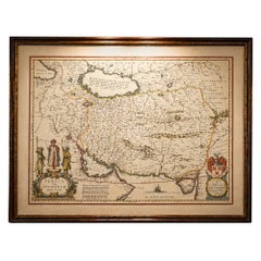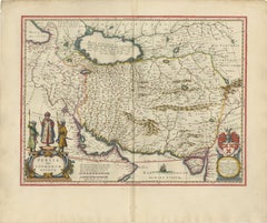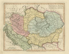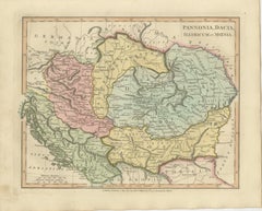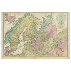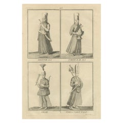
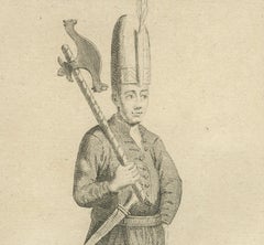
Ottoman Court Attendants and Soldiers – 1734 Print of Imperial Palace Figures
Located in Langweer, NL
Ottoman Court Attendants and Soldiers – 1734 Print of Imperial Palace Figures Description: This finely executed copperplate engraving from 1734 presents four detailed portraits of f...
Category
Antique 1730s Prints
Materials
Paper