Copperplate Engraving

to
47
1,162
194

Use search to find more

763
546
540
425
226
204
153
133
126
95
94
76
71
62
51
34
32
31
31
30
27
18
15
15
15
13
13
13
13
12
11
11
9
8
8
7
5
4
3
3
3
3
2
2
1
1
1
1
1
1
1
1
24
24
13
11
11

Use search to find more

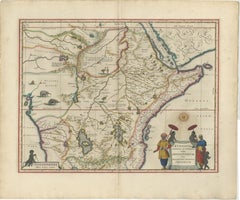
Antique Ethiopia Abyssinia Map Blaeu c.1642 – Nile, Figures, Cartouche

Antique Ethiopia Abyssinia Map Blaeu c.1642 – Nile, Figures, Cartouche

Located in Langweer, NL

Keywords: Ethiopia map, Abyssinia map, Prester John map, Nile source map, Upper Nile, Sudan, Nubia, Red Sea map, Horn of Africa, Somalia, Eritrea, Djibouti, Blue Nile, Lake Tana, Afr...

Category

Antique Mid-17th Century Dutch Maps

Materials

Paper
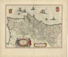
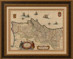
Blaeu Map of Portugal – Portugallia et Algarbia, Antique Iberia Map, 1642

Blaeu Map of Portugal – Portugallia et Algarbia, Antique Iberia Map, 1642

Located in Langweer, NL

The map is sold unframed; any framed images are shown for presentation and interior inspiration only and may not always be on scale with the original. Technique: Copperplate engravi...

Category

Antique Mid-17th Century Dutch Maps

Materials

Paper
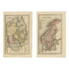
Miniature Antique Maps Scandinavia Set: Denmark, Sweden, Norway Handcolored 1833

Miniature Antique Maps Scandinavia Set: Denmark, Sweden, Norway Handcolored 1833

Located in Langweer, NL

The crisp typography, balanced composition, and subtle color palette exemplify the refined miniature atlas style that appealed to nineteenth-century audiences seeking both educationa...

Category

Antique Early 19th Century British Maps

Materials

Paper

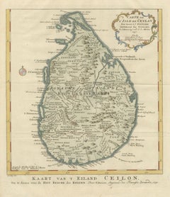
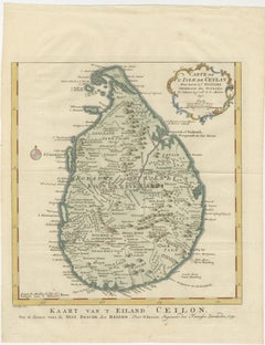
Antique Map Sri Lanka Ceylon Bellin 1750 – Kingdom of Kandy Enlightenment Map

Antique Map Sri Lanka Ceylon Bellin 1750 – Kingdom of Kandy Enlightenment Map

Located in Langweer, NL

Such a presentation highlights the subtle hand coloring and the ornate cartouche while giving the piece a refined museum-quality appearance. Technique: Copperplate engraving with or...

Category

Antique Mid-18th Century French Maps

Materials

Paper

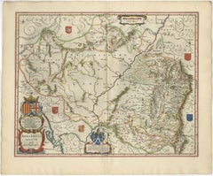
Blaeu Map of Aragon – Arragonia Regnum, Decorative Spain Atlas Map, 1642

Blaeu Map of Aragon – Arragonia Regnum, Decorative Spain Atlas Map, 1642

Located in Langweer, NL

The map is sold unframed; any framed images are shown for presentation and interior inspiration only and may not always be on scale with the original. Technique: Copperplate engravi...

Category

Antique Mid-17th Century Dutch Maps

Materials

Paper
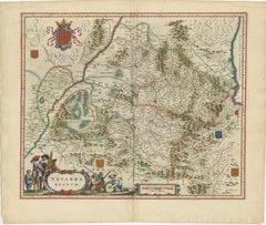
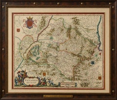
Blaeu Map of Navarra – Navarra Regnum, Decorative Pyrenees Chart, 1642

Blaeu Map of Navarra – Navarra Regnum, Decorative Pyrenees Chart, 1642

Located in Langweer, NL

The map is sold unframed; any framed images are shown for presentation and interior inspiration only and may not always be on scale with the original. Technique: Copperplate engravi...

Category

Antique Mid-17th Century Dutch Maps

Materials

Paper
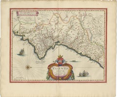
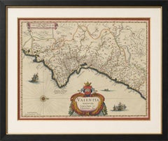
Blaeu Map of Valencia – Valentia Regnum, Decorative Mediterranean Chart, 1642

Blaeu Map of Valencia – Valentia Regnum, Decorative Mediterranean Chart, 1642

Located in Langweer, NL

The map is sold unframed; any framed images are shown for presentation and interior inspiration only and may not always be on scale with the original. Technique: Copperplate engravi...

Category

Antique Mid-17th Century Dutch Maps

Materials

Paper
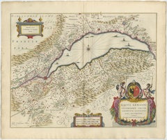
Lake Geneva Antique Blaeu Atlas Map of Geneva and Léman, 1642

Lake Geneva Antique Blaeu Atlas Map of Geneva and Léman, 1642

Located in Langweer, NL

The elegant cartouche, compass rose, and Alpine scenery make it particularly suitable for libraries, studies, mountain homes, and classic European interiors. Technique: Copperplate ...

Category

Antique Mid-17th Century Dutch Maps

Materials

Paper
Metz, Lorraine & Verdun Antique Blaeu Atlas Map, France, 1642

Metz, Lorraine & Verdun Antique Blaeu Atlas Map, France, 1642

Located in Langweer, NL

The original hand coloring works particularly well in traditional French interiors, libraries, studies, and classic European-style rooms. Technique: Copperplate engraving with origi...

Category

Antique Mid-17th Century Dutch Maps

Materials

Paper
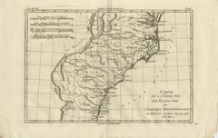
Antique Map Southern United States — Carolina & Georgia, Bonne c.1780

Antique Map Southern United States — Carolina & Georgia, Bonne c.1780

Located in Langweer, NL

Framing tips: Particularly effective in a dark walnut or black frame with an ivory or warm off-white mat; the wide horizontal format works well above desks or consoles and pairs nice...

Category

Antique Late 18th Century French Maps

Materials

Paper

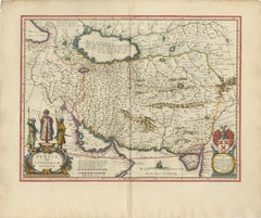
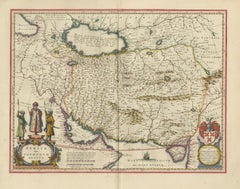
Blaeu Map of Persia, Caspian Sea & Arabia, Hand Colored, c.1642

Blaeu Map of Persia, Caspian Sea & Arabia, Hand Colored, c.1642

Located in Langweer, NL

The map is sold unframed; any framed images are shown for presentation and interior inspiration only and may not always be to scale. Technique: Copperplate engraving with original h...

Category

Antique Mid-17th Century Dutch Maps

Materials

Paper
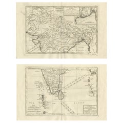
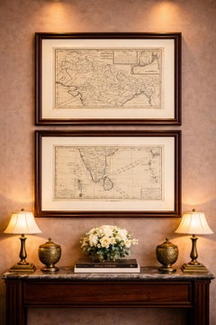
India & Bengal after Bonne – Enlightenment French Cartography, Two-Map Set, 1780

India & Bengal after Bonne – Enlightenment French Cartography, Two-Map Set, 1780

Located in Langweer, NL

Technique: Copperplate engraving Maker: Rigobert Bonne, France, circa 1780 Keywords: India antique map, Bengal antique map, Ganges River map, Bay of Bengal map, Hindustan map, Mugha...

Category

Antique Late 18th Century French Maps

Materials

Paper

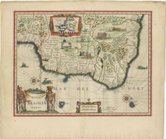
Blaeu Brazil Map, Novus Brasiliae Typus, Antique Hand-Colored Map 1642

Blaeu Brazil Map, Novus Brasiliae Typus, Antique Hand-Colored Map 1642

Located in Langweer, NL

The map is sold unframed; any framed images are shown for presentation and interior inspiration only and may not always be on scale with the original. Technique: Copperplate engravi...

Category

Antique Mid-17th Century Dutch Maps

Materials

Paper
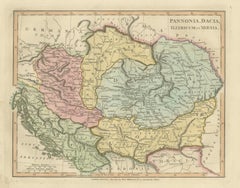
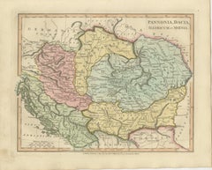
Ancient Pannonia & Dacia Map — Roman Balkans Provinces, Wilkinson 1823

Ancient Pannonia & Dacia Map — Roman Balkans Provinces, Wilkinson 1823

Located in Langweer, NL

A generous mat enhances the soft hand coloring and allows the detailed provincial borders to remain visually calm and readable in both traditional and contemporary interiors. Techni...

Category

Antique Early 19th Century British Maps

Materials

Paper

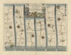
Antique Road Map Oxford to Bristol, Ogilby Britannia Strip Map, 1675

Antique Road Map Oxford to Bristol, Ogilby Britannia Strip Map, 1675

Located in Langweer, NL

Keywords: Oxford, Bristol, Faringdon, Highworth, Swindon, Malmesbury, Luckington, Wiltshire, Gloucestershire, Berkshire, English roads, coaching routes, Britannia atlas, John Ogilby,...

Category

Antique Mid-17th Century British Maps

Materials

Paper

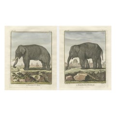
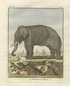
Charming Elephant Pair, Antique Hand-Coloured Prints by Buffon, 1769

Charming Elephant Pair, Antique Hand-Coloured Prints by Buffon, 1769

Located in Langweer, NL

Both plates retain their original plate marks, ample margins, and the distinctive clarity of 18th-century copperplate engraving, with fine parallel shading that defines the folds of ...

Category

Antique Late 18th Century Dutch Prints

Materials

Paper

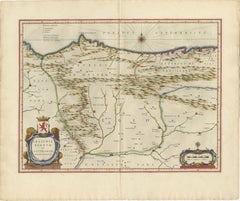
Blaeu Map of León & Asturias – Legionis Regnum, Antique Spain Chart, 1642

Blaeu Map of León & Asturias – Legionis Regnum, Antique Spain Chart, 1642

Located in Langweer, NL

The map is sold unframed; any framed images are shown for presentation and interior inspiration only and may not always be on scale with the original. Technique: Copperplate engravi...

Category

Antique Mid-17th Century Dutch Maps

Materials

Paper
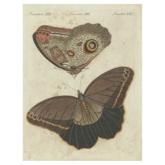
Forest Giant Owl Butterfly (Caligo eurilochus) from Suriname, Published in 1802

Forest Giant Owl Butterfly (Caligo eurilochus) from Suriname, Published in 1802

Located in Langweer, NL

Title: Forest Giant Owl Butterfly (Caligo eurilochus) Description: Handcoloured copperplate engraving of the Forest Giant Owl Butterfly, depicting the upperside (figure 2) and under...

Category

Antique Early 1800s Prints

Materials

Paper

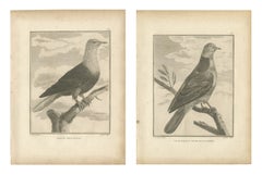
Dutch Pigeon and Gray Dove of China, Pair of Antique Plates, 1806

Dutch Pigeon and Gray Dove of China, Pair of Antique Plates, 1806

Located in Langweer, NL

Every image was drawn by Sonnerat himself during the voyage he made for the French crown between 1774 and 1781 and then cut on copper by the Paris engravers who worked for him. They ...

Category

Antique Early 19th Century French Prints

Materials

Paper

Sonnerat's Junglefowl Cock and Hen, Pair of Antique Bird Plates, 1806

Sonnerat's Junglefowl Cock and Hen, Pair of Antique Bird Plates, 1806

Located in Langweer, NL

Every image was drawn by Sonnerat himself during the voyage he made for the French crown between 1774 and 1781 and then cut on copper by the Paris engravers who worked for him. They ...

Category

Antique Early 19th Century French Prints

Materials

Paper

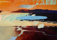
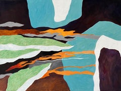
Large Contemporary Abstract Figurative Landscape With Mountains Painting

Large Contemporary Abstract Figurative Landscape With Mountains Painting

By Steffen Bue

Located in Frederiksberg C, DK

However, as his passion for his own artwork grew, Bue began working with paintings on canvas and copperplate engravings. Bue's unique approach involves working freely and spontaneous...

Category

2010s Contemporary Figurative Paintings

Materials

Canvas, Acrylic

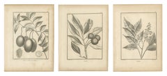
Litchi, Wampee and Hevi Fruit Trees, Three Antique Botanical Plates, 1806

Litchi, Wampee and Hevi Fruit Trees, Three Antique Botanical Plates, 1806

Located in Langweer, NL

Every image was drawn by Sonnerat himself during the voyage he made for the French crown between 1774 and 1781 and then cut on copper by the Paris engravers who worked for him. They ...

Category

Antique Early 19th Century French Prints

Materials

Paper

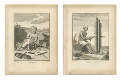
Indian Carpenter and Sawyer at Work, Pair of Antique Plates, 1806

Indian Carpenter and Sawyer at Work, Pair of Antique Plates, 1806

Located in Langweer, NL

Every image was drawn by Sonnerat himself during the voyage he made for the French crown between 1774 and 1781 and then cut on copper by the Paris engravers who worked for him. They ...

Category

Antique Early 19th Century French Prints

Materials

Paper

Hottentots and Caffres of Southern Africa, Pair of Large Plates, 1806

Hottentots and Caffres of Southern Africa, Pair of Large Plates, 1806

Located in Langweer, NL

Every image was drawn by Sonnerat himself during the voyage he made for the French crown between 1774 and 1781 and then cut on copper by the Paris engravers who worked for him. They ...

Category

Antique Early 19th Century French Prints

Materials

Paper

Lemur, Meerkat and Tenrec, Three Antique Sonnerat Mammal Plates, 1806

Lemur, Meerkat and Tenrec, Three Antique Sonnerat Mammal Plates, 1806

Located in Langweer, NL

Every image was drawn by Sonnerat himself during the voyage he made for the French crown between 1774 and 1781 and then cut on copper by the Paris engravers who worked for him. They ...

Category

Antique Early 19th Century French Prints

Materials

Paper

"Stairways To Heaven" Blue Orange Contemporary Figurative Landscape, Steffen Bue

"Stairways To Heaven" Blue Orange Contemporary Figurative Landscape, Steffen Bue

By Steffen Bue

Located in Frederiksberg C, DK

However, as his passion for his own artwork grew, Bue began working with paintings on canvas and copperplate engravings. Bue's unique approach involves working freely and spontaneous...

Category

2010s Abstract Figurative Paintings

Materials

Canvas, Acrylic

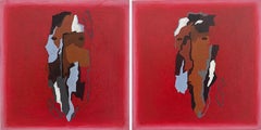
"Nice Friend I & II" A Pair/Set Of 2 Miniature Pink Red Abstract Portraits

"Nice Friend I & II" A Pair/Set Of 2 Miniature Pink Red Abstract Portraits

By Steffen Bue

Located in Frederiksberg C, DK

However, as his passion for his own artwork grew, Bue began working with paintings on canvas and copperplate engravings. Bue's unique approach involves working freely and spontaneous...

Category

2010s Abstract Figurative Paintings

Materials

Canvas, Acrylic

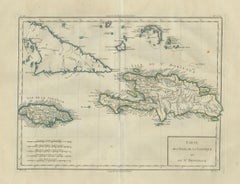
Antique Caribbean Map, Jamaica Cuba Saint-Domingue, Tardieu, c.1775

Antique Caribbean Map, Jamaica Cuba Saint-Domingue, Tardieu, c.1775

Located in Langweer, NL

Its elegant proportions and refined pastel coloring make it particularly suitable for classic libraries, Caribbean interiors, coastal homes, and sophisticated gallery walls. Techniq...

Category

Antique Late 18th Century French Maps

Materials

Paper

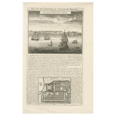
Antique View of Surat & Plan of Batavia — VOC India & Indonesia, Chatelain, 1719

Antique View of Surat & Plan of Batavia — VOC India & Indonesia, Chatelain, 1719

Located in Langweer, NL

UV-protective museum glass is recommended to preserve the paper and highlight the fine engraved detail. Technique: Copperplate engraving Maker: Henri Abraham Chatelain, Amsterdam, c...

Category

Antique Early 18th Century French Prints

Materials

Paper

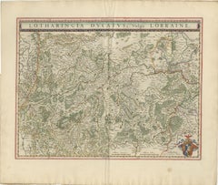
Lorraine Map – Blaeu Hand-Colored Dutch Golden Age Map of Lorraine c. 1642

Lorraine Map – Blaeu Hand-Colored Dutch Golden Age Map of Lorraine c. 1642

Located in Langweer, NL

UV-protective museum glass is recommended for long-term preservation. Technique: Copperplate engraving with original hand coloring Maker: Willem Blaeu, Amsterdam, circa 1640 Speci...

Category

Antique Mid-17th Century Dutch Maps

Materials

Paper
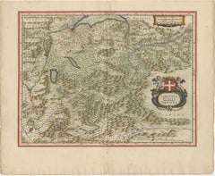
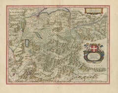
Blaeu Map of Savoy & Alps, Geneva Piedmont France Italy, c.1642

Blaeu Map of Savoy & Alps, Geneva Piedmont France Italy, c.1642

Located in Langweer, NL

Keywords: Savoy map, Alps map, Geneva map, Piedmont map, Blaeu Savoy, 17th century Alps map, Switzerland antique map, northern Italy map, French Alps map, Blaeu atlas map, Lacus Lema...

Category

Antique Mid-17th Century Dutch Maps

Materials

Paper
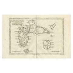
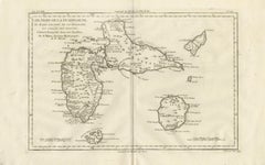
Antique Map Guadeloupe & Marie Galante, Rigobert Bonne Caribbean Chart c1780

Antique Map Guadeloupe & Marie Galante, Rigobert Bonne Caribbean Chart c1780

Located in Langweer, NL

Technique: Copperplate engraving Maker: Rigobert Bonne, France, circa 1780 Keyword block: Guadeloupe antique map, Marie Galante map, La Désirade Caribbean chart, Îles des Saintes ma...

Category

Antique Late 18th Century French Maps

Materials

Paper

Antique New England Map Blaeu c.1642 – Nova Belgica & Anglia, Ships

Antique New England Map Blaeu c.1642 – Nova Belgica & Anglia, Ships

Located in Langweer, NL

Keywords: Nova Belgica map, New Netherland map, New Amsterdam, Manhattan, Manhates, New York antique map, Hudson River, Long Island, Cape Cod, Virginia, New England map, early Americ...

Category

Antique Mid-17th Century Dutch Maps

Materials

Paper
Antique Map Morocco Fez & Marrakesh, Blaeu Map, Hand-Colored c.1642

Antique Map Morocco Fez & Marrakesh, Blaeu Map, Hand-Colored c.1642

Located in Langweer, NL

Keywords: Morocco map, Fez, Fes, Marrakesh, Marrakech, Rabat, Casablanca, Tangier, Tanger, Meknes, Meknès, Agadir, Essaouira, Mogador, Tetouan, Tétouan, Chefchaouen, Atlas Mountains,...

Category

Antique Mid-17th Century Dutch Maps

Materials

Paper
Antique South Africa Map Blaeu c.1642 – Cape of Good Hope, Ships

Antique South Africa Map Blaeu c.1642 – Cape of Good Hope, Ships

Located in Langweer, NL

Keywords: South Africa map, Cape of Good Hope, Cape Town, Mozambique, Madagascar, Indian Ocean, Atlantic Ocean, African trade routes, Dutch East India Company routes, VOC, Blaeu Sout...

Category

Antique Mid-17th Century Dutch Maps

Materials

Paper
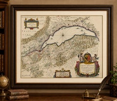
Antique Blaeu Map Mallorca Ibiza Balearic Islands, Mediterranean, 1642

Antique Blaeu Map Mallorca Ibiza Balearic Islands, Mediterranean, 1642

Located in Langweer, NL

Ideal as a standalone statement piece or as part of a refined coastal or Mediterranean-themed wall. Technique: Copperplate engraving Maker: Willem Jansz. Blaeu, Amsterdam, c.1642 K...

Category

Antique Mid-17th Century Dutch Maps

Materials

Paper
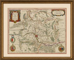
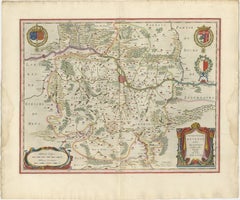
Blaeu Map of Cambrai, Artois & Hainaut – Heraldic France c.1642

Blaeu Map of Cambrai, Artois & Hainaut – Heraldic France c.1642

Located in Langweer, NL

The map is sold unframed; any framed images are shown for presentation and interior inspiration only and may not always be on scale with the original. Technique: Copperplate engravi...

Category

Antique Mid-17th Century Dutch Maps

Materials

Paper
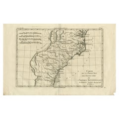
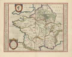
Caesar’s Gallia Antiqua – Blaeu Map of Ancient France, c.1642

Caesar’s Gallia Antiqua – Blaeu Map of Ancient France, c.1642

Located in Langweer, NL

The map is sold unframed; any framed images are shown for presentation and interior inspiration only and may not always be on scale with the original. Technique: Copperplate engravi...

Category

Antique Mid-17th Century Dutch Maps

Materials

Paper
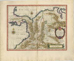
Terra Firma, Blaeu c.1642 – Antique Map of New Granada & Popayán

Terra Firma, Blaeu c.1642 – Antique Map of New Granada & Popayán

Located in Langweer, NL

Keywords: Terra Firma map, New Granada map, Colombia map, Venezuela map, Panama map, Cartagena, Santa Marta, Popayan, Bogota, Andes Mountains, Caribbean coast map, Spanish colonial S...

Category

Antique Mid-17th Century Dutch Maps

Materials

Paper
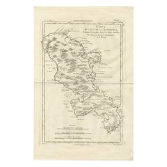
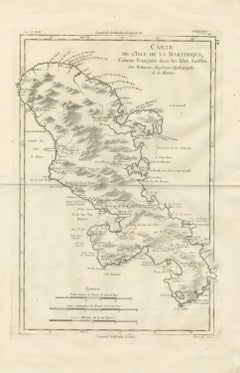
Antique Map Martinique Caribbean Island Chart, Rigobert Bonne French Map, c.1780

Antique Map Martinique Caribbean Island Chart, Rigobert Bonne French Map, c.1780

Located in Langweer, NL

Framing tips: Particularly striking when framed in dark walnut or black with an ivory or warm off-white mat; museum-style float mounting can emphasize the plate impression and histor...

Category

Antique Late 18th Century French Maps

Materials

Paper
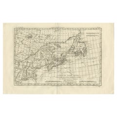
Antique Map of Canada, Newfoundland & Acadia — Gulf of St Lawrence, Bonne c.1780

Antique Map of Canada, Newfoundland & Acadia — Gulf of St Lawrence, Bonne c.1780

Located in Langweer, NL

Framing tips: Particularly striking in a dark walnut or black frame with an ivory mat; the wide horizontal format works well above desks, consoles, or as part of a gallery wall featu...

Category

Antique Late 18th Century French Maps

Materials

Paper
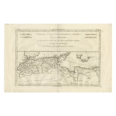
Antique Map North Africa Barbary Coast with Morocco Algeria Tunisia, Bonne c1780

Antique Map North Africa Barbary Coast with Morocco Algeria Tunisia, Bonne c1780

Located in Langweer, NL

Technique: Copperplate engraving Maker: Rigobert Bonne, France, circa 1780 Keyword block: North Africa antique map, Barbary Coast map, Rigobert Bonne map, Morocco Algeria Tunisia ma...

Category

Antique Late 18th Century French Maps

Materials

Paper
Holy Land Antique Map — Palestine, Syria, Levant Region, De la Rue Paris c1700

Holy Land Antique Map — Palestine, Syria, Levant Region, De la Rue Paris c1700

Located in Langweer, NL

We sell the map unframed. Technique: Copperplate engraving Maker: Philippe de la Rue, Paris, France, circa early 18th century Keywords: Holy Land map, Palestine antique map, Terre ...

Category

Antique Early 18th Century Maps

Materials

Paper
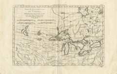
Great Lakes Antique Map — Canada, Midwest USA, Enlightenment Era, Bonne c.1780

Great Lakes Antique Map — Canada, Midwest USA, Enlightenment Era, Bonne c.1780

Located in Langweer, NL

Framing tips: Particularly effective in a dark walnut or black frame with an ivory or warm off-white mat; the panoramic horizontal format makes it ideal for placement above desks, co...

Category

Antique Late 18th Century French Maps

Materials

Paper
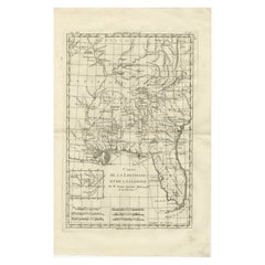
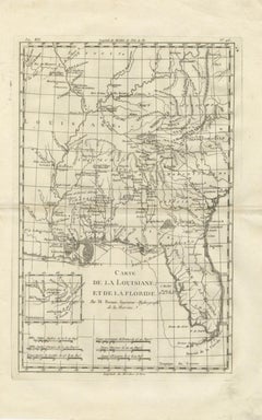
Antique Map Louisiana & Mississippi Valley — Florida Region, Bonne c.1780

Antique Map Louisiana & Mississippi Valley — Florida Region, Bonne c.1780

Located in Langweer, NL

Framing tips: Particularly effective in a dark walnut or black frame with an ivory or warm off-white mat; the vertical orientation suits narrow wall spaces or pairs well with other B...

Category

Antique Late 18th Century French Maps

Materials

Paper
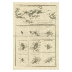
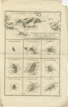
Antique Caribbean Map — Virgin Islands and Antilles Atlas Sheet, Bonne c.1780

Antique Caribbean Map — Virgin Islands and Antilles Atlas Sheet, Bonne c.1780

Located in Langweer, NL

Framing tips: Particularly effective in a dark walnut or black frame with an ivory or warm off-white mat; the composite layout lends itself well to museum-style presentation, allowin...

Category

Antique Late 18th Century French Maps

Materials

Paper
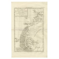
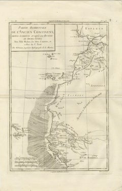
Antique Map West Africa Morocco Canary Islands Lisbon Sierra Leone Bonne, c1780

Antique Map West Africa Morocco Canary Islands Lisbon Sierra Leone Bonne, c1780

Located in Langweer, NL

Framing tips: Particularly effective when framed in dark walnut or black with an ivory or warm off-white mat; vertical orientation works well in narrow wall spaces or paired with rel...

Category

Antique Late 18th Century French Maps

Materials

Paper
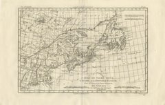
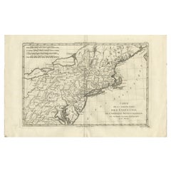
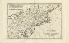
Antique Northeastern United States Map — New England & Mid-Atlantic, Bonne, 1780

Antique Northeastern United States Map — New England & Mid-Atlantic, Bonne, 1780

Located in Langweer, NL

Framing tips: Particularly effective in a dark walnut or black frame with an ivory or warm off-white mat; the wide horizontal format works well above desks or consoles and pairs nice...

Category

Antique Late 18th Century French Maps

Materials

Paper
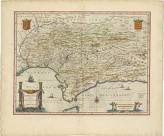
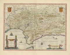
Blaeu Andalusia Map, Seville Cordoba Granada Spain, c.1642

Blaeu Andalusia Map, Seville Cordoba Granada Spain, c.1642

Located in Langweer, NL

Keywords: Andalusia map, Seville map, Cordoba map, Granada map, Spain antique map, Blaeu Andalusia, 17th century Spain map, Mediterranean map Spain, Spanish cartography, Blaeu atlas ...

Category

Antique Mid-17th Century Dutch Maps

Materials

Paper
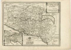
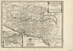
Antique Biblical Holy Land Map — Jerusalem, Palestine & Levant, De Fer 1703

Antique Biblical Holy Land Map — Jerusalem, Palestine & Levant, De Fer 1703

Located in Langweer, NL

We sell the map unframed. Technique: Copperplate engraving Maker: Nicolas de Fer, Paris, France, dated 1703 Keywords: Nicolas de Fer map, Terre Sainte map, Holy Land antique map, P...

Category

Antique Early 18th Century Maps

Materials

Paper
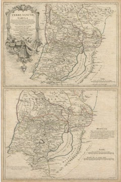
Antique Holy Land Map, Terrae Sanctae Tabula – Guillaume De L’Isle, 1782

Antique Holy Land Map, Terrae Sanctae Tabula – Guillaume De L’Isle, 1782

Located in Langweer, NL

We well the maps unframed. Technique: Copperplate engraving Maker: Guillaume De L’Isle, Paris, 1782 Keyword block: Holy Land map, Terrae Sanctae, Guillaume De L’Isle, Atlas Modern...

Category

Antique Late 18th Century French Maps

Materials

Paper
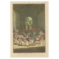
Carib Priests Instilling Courage: A Ritual Dance of the Caribbean, 1722

Carib Priests Instilling Courage: A Ritual Dance of the Caribbean, 1722

Located in Langweer, NL

This hand-colored copperplate engraving titled “Manière dont les Prêtres Caribes soufflent le Courage” (The way Carib Priests blow courage) depicts a ceremonial ritual performed by t...

Category

Antique 1720s Prints

Materials

Paper
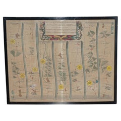
ANTiQUE COLLECTABLE 17TH CENTURY CIRCA 1675 JOHN OGILBY HAND COLOURED ROAD MAP

ANTiQUE COLLECTABLE 17TH CENTURY CIRCA 1675 JOHN OGILBY HAND COLOURED ROAD MAP

Located in West Sussex, Pulborough

The delicate hand colouring, elaborate Baroque cartouche with decorative scrollwork and classical figures, and wonderfully detailed copperplate engraving make this an exceptionally a...

Category

Antique 1670s British Charles II Maps

Materials

Paper
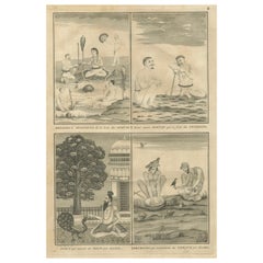
Indian Ascetics and Devotion Rituals – Feeding Birds and Acts of Penitence, 1734

Indian Ascetics and Devotion Rituals – Feeding Birds and Acts of Penitence, 1734

Located in Langweer, NL

Title: Indian Ascetics and Devotion Rituals – Feeding Birds and Acts of Penitence, c.1734 Description: This fascinating 18th-century copperplate engraving offers a rare European por...

Category

Antique 1730s Prints

Materials

Paper
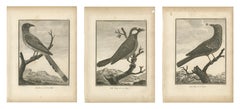
Magpie, Jay and Blue Thrush of China, Three Antique Bird Plates, 1806

Magpie, Jay and Blue Thrush of China, Three Antique Bird Plates, 1806

Located in Langweer, NL

Every image was drawn by Sonnerat himself during the voyage he made for the French crown between 1774 and 1781 and then cut on copper by the Paris engravers who worked for him. They ...

Category

Antique Early 19th Century French Prints

Materials

Paper
Clove Flower, Drum Wood and Madablota, Three Antique Plates, 1806

Clove Flower, Drum Wood and Madablota, Three Antique Plates, 1806

Located in Langweer, NL

Every image was drawn by Sonnerat himself during the voyage he made for the French crown between 1774 and 1781 and then cut on copper by the Paris engravers who worked for him. They ...

Category

Antique Early 19th Century French Prints

Materials

Paper
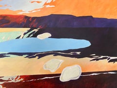
Extra-Large Landscape. Contemporary Figurative Abstract Orange Horizon Painting

Extra-Large Landscape. Contemporary Figurative Abstract Orange Horizon Painting

By Steffen Bue

Located in Frederiksberg C, DK

However, as his passion for his own artwork grew, Bue began working with paintings on canvas and copperplate engravings. Bue's unique approach involves working freely and spontaneous...

Category

2010s Contemporary Figurative Paintings

Materials

Canvas, Acrylic

  • 1
  • ...
Get Updated with New Arrivals
Save "Copperplate Engraving", and we’ll notify you when there are new listings in this category.

Copperplate Engraving For Sale on 1stDibs

With a vast inventory of beautiful furniture at 1stDibs, we’ve got just the copperplate engraving you’re looking for. A copperplate engraving — often made from paper, wood and metal — can elevate any home. There are many kinds of the copperplate engraving you’re looking for, from those produced as long ago as the 18th Century to those made as recently as the 20th Century. When you’re browsing for the right copperplate engraving, those designed in Neoclassical, Arts and Crafts and Baroque styles are of considerable interest. A well-made copperplate engraving has long been a part of the offerings for many furniture designers and manufacturers, but those produced by Bernard de Montfaucon, Johannes Kip and Bernard de Montfaucaon are consistently popular.

How Much is a Copperplate Engraving?

A copperplate engraving can differ in price owing to various characteristics — the average selling price 1stDibs is $1,350, while the lowest priced sells for $299 and the highest can go for as much as $16,800.