Engraved Copper

to
136
437
229
254
242
160
149
125
111
77
49
48
47
43
42
38
37
33
30
26
22
17
17
17
13
13
12
12
12
9
9
9
7
6
6
5
5
4
4
4
4
3
3
3
3
3
2
2
2
2
2
2
2
2
2
2
1
1
1
1
1
1
1
52
17
12
11
11
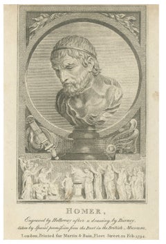
Small Homer Bust Portrait Engraving after Burney, Classical Print, 1794

Small Homer Bust Portrait Engraving after Burney, Classical Print, 1794

Located in Langweer, NL

A thin gilt fillet can enhance the neoclassical appearance and emphasize the refined engraved detail. Technique: Copper engraving Maker: Thomas Holloway after Burney, London, 1794 ...
Category

Antique Late 18th Century British Prints

Materials

Paper

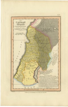
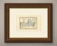
Canaan and the Captivities of Israel and Judah, Antique Map, 1823

Canaan and the Captivities of Israel and Judah, Antique Map, 1823

Located in Langweer, NL

This is an original antique copper engraved map with original hand coloring, published in 1823 as plate XXIV of James Wyld's Geographia Sacra, or Scripture Atlas.

Category

Antique Early 19th Century British Maps

Materials

Paper

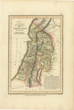
Antique Map of the Kingdoms of Israel and Judah, Hand-Colored, 1823

Antique Map of the Kingdoms of Israel and Judah, Hand-Colored, 1823

Located in Langweer, NL

This is an original antique copper engraved map with original hand coloring, published in 1823 as plate XXIII of James Wyld's Geographia Sacra, or Scripture Atlas.

Category

Antique Early 19th Century British Maps

Materials

Paper

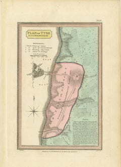
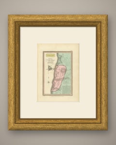
Plan of Ancient Tyre from the Book of Ezekiel, Antique Map, 1823

Plan of Ancient Tyre from the Book of Ezekiel, Antique Map, 1823

Located in Langweer, NL

This is an original antique copper engraved map with original hand coloring, published in 1823 as plate XXIX of James Wyld's Geographia Sacra, or Scripture Atlas.

Category

Antique Early 19th Century British Maps

Materials

Paper

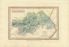
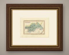
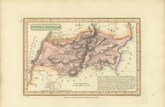
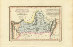
Tribe of Benjamin with Jericho and Bethel, Antique Wyld Map, 1823

Tribe of Benjamin with Jericho and Bethel, Antique Wyld Map, 1823

Located in Langweer, NL

This is an original antique copper engraved map with original hand coloring, published in 1823 as plate XVIII of James Wyld's Geographia Sacra, or Scripture Atlas.

Category

Antique Early 19th Century British Maps

Materials

Paper

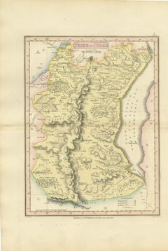
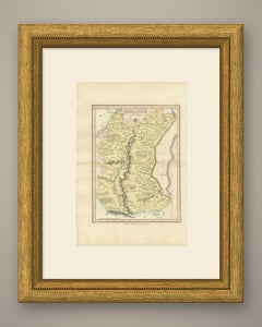
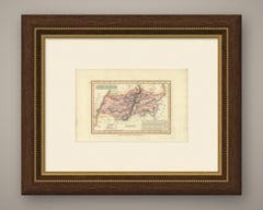
Antique Hand-Colored Map of the Tribe of Judah and the Dead Sea, 1823

Antique Hand-Colored Map of the Tribe of Judah and the Dead Sea, 1823

Located in Langweer, NL

This is an original antique copper engraved map with original hand coloring, published in 1823 as plate XIX of James Wyld's Geographia Sacra, or Scripture Atlas.

Category

Antique Early 19th Century British Maps

Materials

Paper

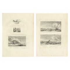
Napoleon’s Egyptian Campaign Battle Scenes – Denon Voyage Egypt Engravings 1802

Napoleon’s Egyptian Campaign Battle Scenes – Denon Voyage Egypt Engravings 1802

Located in Langweer, NL

Printed on firm laid paper from copper plates engraved after Denon’s drawings, these works form an important visual record of the Napoleonic presence in Egypt.

Category

Antique Early 19th Century French Prints

Materials

Paper

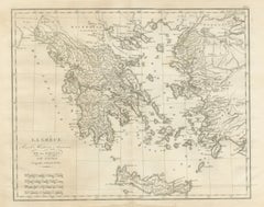
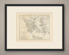
Ancient Greece and the Aegean with Crete, d'Anville for Rollin, 1818

Ancient Greece and the Aegean with Crete, d'Anville for Rollin, 1818

Located in Langweer, NL

An original copper engraved map, uncolored, of Greece, the Aegean islands and the west coast of Asia Minor, from Apollonie on the Adriatic to the Propontide and the Bosphore de Thrace.

Category

Antique Early 19th Century French Maps

Materials

Paper

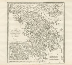
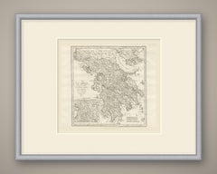
Ancient Greece with an Illyria and Macedonia Inset, d'Anville, 1818

Ancient Greece with an Illyria and Macedonia Inset, d'Anville, 1818

Located in Langweer, NL

An original copper engraved map, uncolored, of mainland Greece from Illyris and Macedonia down to the Peloponnese, with Cephallenia and the Ionian islands to the west and Euboea and ...

Category

Antique Early 19th Century French Maps

Materials

Paper

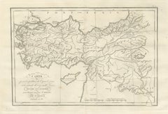
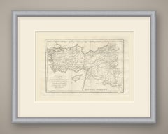
March of Cyrus and Retreat of the Ten Thousand after Xenophon, 1818

March of Cyrus and Retreat of the Ten Thousand after Xenophon, 1818

Located in Langweer, NL

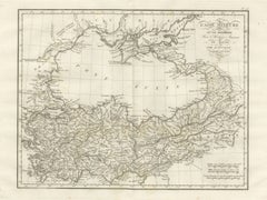
An original copper engraved map, uncolored, of Asia Minor, Syria and Mesopotamia, with the route of the expedition drawn as a fine double line.

Category

Antique Early 19th Century French Maps

Materials

Paper

Pair of Hand-Colored Victorian Botanical Prints by B. Maund 1836

Pair of Hand-Colored Victorian Botanical Prints by B. Maund 1836

Located in Langweer, NL

Each illustration reflects Maund’s ambition to make horticultural knowledge accessible while elevating botanical study into an art form. The plates are engraved on copper and richly...

Category

Antique 1830s British Prints

Materials

Paper

Antique Map of Solomon's Purveyorships in Israel, Wyld, 1823

Antique Map of Solomon's Purveyorships in Israel, Wyld, 1823

Located in Langweer, NL

This is an original antique copper engraved map with original hand coloring, published in 1823 as plate XXI of James Wyld's Geographia Sacra, or Scripture Atlas.

Category

Antique Early 19th Century British Maps

Materials

Paper

Judea, Samaria and Galilee After the Captivity, Antique Map, 1823

Judea, Samaria and Galilee After the Captivity, Antique Map, 1823

Located in Langweer, NL

This is an original antique copper engraved map with original hand coloring, published in 1823 as plate XXV of James Wyld's Geographia Sacra, or Scripture Atlas.

Category

Antique Early 19th Century British Maps

Materials

Paper

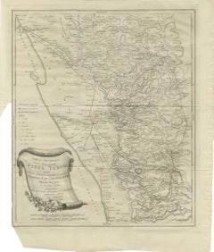
Antique Map of Yemen from the Danish Expedition, Niebuhr, 1776

Antique Map of Yemen from the Danish Expedition, Niebuhr, 1776

Located in Langweer, NL

This is an original antique copper engraved map from 1776, from the first volume of Carsten Niebuhr's account of his travels in Arabia.

Category

Antique Late 18th Century Dutch Maps

Materials

Paper

Large Antique Plan of Cairo, Bulaq, Old Cairo and Giza, 1776

Large Antique Plan of Cairo, Bulaq, Old Cairo and Giza, 1776

Located in Langweer, NL

This is an original antique copper engraved plan from 1776 of Cairo and its neighboring towns.

Category

Antique Late 18th Century Dutch Maps

Materials

Paper

The Travels and Voyages of Saint Paul, Antique Wyld Map, 1823

The Travels and Voyages of Saint Paul, Antique Wyld Map, 1823

Located in Langweer, NL

This is an original antique copper engraved map with original hand coloring, published in 1823 as plate XXVII of James Wyld's Geographia Sacra, or Scripture Atlas.

Category

Antique Early 19th Century British Maps

Materials

Paper

The World at the Time of Christ, Antique Hand-Colored Map, 1823

The World at the Time of Christ, Antique Hand-Colored Map, 1823

Located in Langweer, NL

This is an original antique copper engraved map with original hand coloring, published in 1823 as plate XXVI of James Wyld's Geographia Sacra, or Scripture Atlas.

Category

Antique Early 19th Century British Maps

Materials

Paper

Antique Map of the Tribe of Simeon and the South Country, Wyld, 1823

Antique Map of the Tribe of Simeon and the South Country, Wyld, 1823

Located in Langweer, NL

This is an original antique copper engraved map with original hand coloring, published in 1823 as plate XVII of James Wyld's Geographia Sacra, or Scripture Atlas.

Category

Antique Early 19th Century British Maps

Materials

Paper

The Rich Glutton and Lazarus Engraving – Luke XVI Biblical Scene 1735

The Rich Glutton and Lazarus Engraving – Luke XVI Biblical Scene 1735

Located in Langweer, NL

Each line was engraved into a copper plate and printed on laid paper, typical of high-quality Bible illustrations of this period.

Category

Antique 1730s English Prints

Materials

Paper

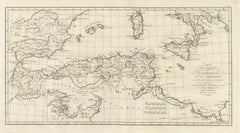
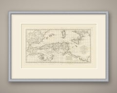
Carthaginian North Africa with Inset of the Environs of Carthage, 1818

Carthaginian North Africa with Inset of the Environs of Carthage, 1818

Located in Langweer, NL

An original copper engraved map, uncolored, of the western and central Mediterranean as far as Carthaginian power reached.

Category

Antique Early 19th Century French Maps

Materials

Paper

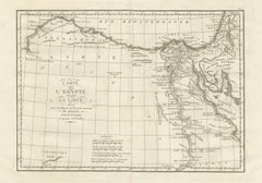
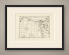
Ancient Egypt and Libya with the Mouths of the Nile, d'Anville, 1818

Ancient Egypt and Libya with the Mouths of the Nile, d'Anville, 1818

Located in Langweer, NL

An original copper engraved map, uncolored, of ancient Egypt and Libya, from the Cyrenaica coast in the west to Sinai, the Golfe Arabique and Palestine as far north as Tyr in the eas...

Category

Antique Early 19th Century French Maps

Materials

Paper

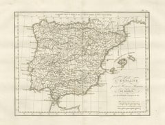
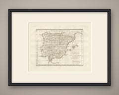
Roman Spain and Portugal with the Balearic Islands, d'Anville, 1818

Roman Spain and Portugal with the Balearic Islands, d'Anville, 1818

Located in Langweer, NL

An original copper engraved map, uncolored, of the Iberian peninsula in Roman times, with the Pyrenees and the Aquitani to the north, the coast of Gaul to Massilia, the Balearic Isla...

Category

Antique Early 19th Century French Maps

Materials

Paper

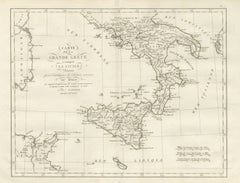
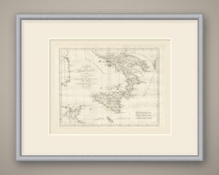
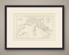
Magna Graecia and Sicily, Greek Colonies Map after d'Anville, 1818

Magna Graecia and Sicily, Greek Colonies Map after d'Anville, 1818

Located in Langweer, NL

An original copper engraved map, uncolored, of southern Italy and Sicily, with the east coast of Sardaigne and the tip of Corse at left and the African coast around Carthage at lower...

Category

Antique Early 19th Century French Maps

Materials

Paper

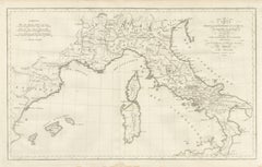
Hannibal's Expedition into Italy with His Marches Traced, d'Anville, 1818

Hannibal's Expedition into Italy with His Marches Traced, d'Anville, 1818

Located in Langweer, NL

An original copper engraved map, uncolored, of the theater of Hannibal's march, from Espagne and the Isles Baleares across southern Gaule and the Alps to the whole Italian peninsula,...

Category

Antique Early 19th Century French Maps

Materials

Paper

Cisalpine Gaul and the Po Valley, d'Anville Map for Rollin, 1818

Cisalpine Gaul and the Po Valley, d'Anville Map for Rollin, 1818

Located in Langweer, NL

An original copper engraved map, uncolored, of Cisalpine Gaul, the Po basin and the arc of the Alps from the Lemanus Lacus at Geneva round to Histria.

Category

Antique Early 19th Century French Maps

Materials

Paper

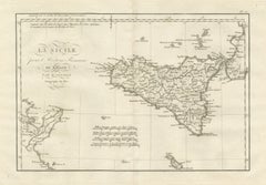
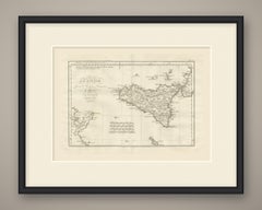
Ancient Sicily with Malta and the Carthage Coast, d'Anville, 1818

Ancient Sicily with Malta and the Carthage Coast, d'Anville, 1818

Located in Langweer, NL

An original copper engraved map, uncolored, of ancient Sicily, with the toe of Italy at upper right, the African coast around Carthage at lower left and the Maltese islands at the fo...

Category

Antique Early 19th Century French Maps

Materials

Paper

Sheba and the Voyage to Tarshish and Ophir, Antique Map, 1823

Sheba and the Voyage to Tarshish and Ophir, Antique Map, 1823

Located in Langweer, NL

This is an original antique copper engraved map with original hand coloring, published in 1823 as plate XXII of James Wyld's Geographia Sacra, or Scripture Atlas.

Category

Antique Early 19th Century British Maps

Materials

Paper

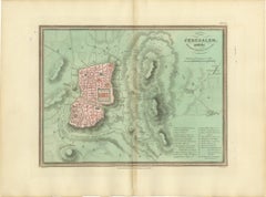
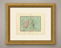
Antique Map of Jerusalem and the Surrounding Country, Wyld, 1823

Antique Map of Jerusalem and the Surrounding Country, Wyld, 1823

Located in Langweer, NL

This is an original antique copper engraved map with original hand coloring, published in 1823 as plate XXVIII of James Wyld's Geographia Sacra, or Scripture Atlas.

Category

Antique Early 19th Century British Maps

Materials

Paper

The Dominions of David and Solomon, Antique Hand-Colored Map, 1823

The Dominions of David and Solomon, Antique Hand-Colored Map, 1823

Located in Langweer, NL

This is an original antique copper engraved map with original hand coloring, published in 1823 as plate XX of James Wyld's Geographia Sacra, or Scripture Atlas.

Category

Antique Early 19th Century British Maps

Materials

Paper

Antique Scripture Map of the Tribe of Gad, Hand-Colored, Wyld, 1823

Antique Scripture Map of the Tribe of Gad, Hand-Colored, Wyld, 1823

Located in Langweer, NL

This is an original antique copper engraved map with original hand coloring, published in 1823 as plate VIII of James Wyld's Geographia Sacra, or Scripture Atlas.

Category

Antique Early 19th Century British Maps

Materials

Paper

Hand-Colored Antique Map of the Tribe of Dan, James Wyld, 1823

Hand-Colored Antique Map of the Tribe of Dan, James Wyld, 1823

Located in Langweer, NL

This is an original antique copper engraved map with original hand coloring, published in 1823 as plate XVI of James Wyld's Geographia Sacra, or Scripture Atlas.

Category

Antique Early 19th Century British Maps

Materials

Paper

Gaul at the Time of Caesar's Conquest, d'Anville for Crevier, 1818

Gaul at the Time of Caesar's Conquest, d'Anville for Crevier, 1818

Located in Langweer, NL

An original copper engraved map, uncolored, of Gaul as it stood at Caesar's conquest, with the south of Britannia, the Rhine frontier of Germania and the north edge of Hispania.

Category

Antique Early 19th Century French Maps

Materials

Paper

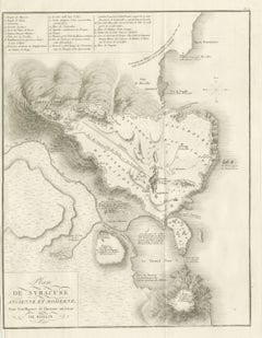
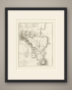
Plan of Ancient and Modern Syracuse with Numbered Key, Rollin Atlas, 1818

Plan of Ancient and Modern Syracuse with Numbered Key, Rollin Atlas, 1818

Located in Langweer, NL

An original copper engraved plan, uncolored, of Syracuse ancient and modern, with the hills drawn in fine hachure.

Category

Antique Early 19th Century French Maps

Materials

Paper

Antique Scripture Map of the Tribe of Ephraim, Hand-Colored, 1823

Antique Scripture Map of the Tribe of Ephraim, Hand-Colored, 1823

Located in Langweer, NL

This is an original antique copper engraved map with original hand coloring, published in 1823 as plate XV of James Wyld's Geographia Sacra, or Scripture Atlas.

Category

Antique Early 19th Century British Maps

Materials

Paper

Decorative Antique Map of the Tribe of Zebulun, Wyld, 1823

Decorative Antique Map of the Tribe of Zebulun, Wyld, 1823

Located in Langweer, NL

This is an original antique copper engraved map with original hand coloring, published in 1823 as plate XII of James Wyld's Geographia Sacra, or Scripture Atlas.

Category

Antique Early 19th Century British Maps

Materials

Paper

Hand-Colored Antique Map of the Tribe of Asher, Wyld, 1823

Hand-Colored Antique Map of the Tribe of Asher, Wyld, 1823

Located in Langweer, NL

This is an original antique copper engraved map with original hand coloring, published in 1823 as plate XI of James Wyld's Geographia Sacra, or Scripture Atlas.

Category

Antique Early 19th Century British Maps

Materials

Paper

Tribe of Manasseh West of Jordan, Antique Wyld Map, 1823

Tribe of Manasseh West of Jordan, Antique Wyld Map, 1823

Located in Langweer, NL

This is an original antique copper engraved map with original hand coloring, published in 1823 as plate XIV of James Wyld's Geographia Sacra, or Scripture Atlas.

Category

Antique Early 19th Century British Maps

Materials

Paper

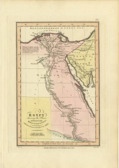
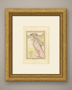
Antique Map of Egypt and the Nile in the Holy Scriptures, Wyld, 1823

Antique Map of Egypt and the Nile in the Holy Scriptures, Wyld, 1823

Located in Langweer, NL

This is an original antique copper engraved map with original hand coloring, published in 1823 as plate IV of James Wyld's Geographia Sacra, or Scripture Atlas.

Category

Antique Early 19th Century British Maps

Materials

Paper

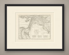
Antique Scripture Map of Mesopotamia and the Adjacent Countries, 1823

Antique Scripture Map of Mesopotamia and the Adjacent Countries, 1823

Located in Langweer, NL

This is an original antique copper engraved map with original hand coloring, published in 1823 as plate II of James Wyld's Geographia Sacra, or Scripture Atlas.

Category

Antique Early 19th Century British Maps

Materials

Paper

Hand-Colored Antique Map of the Tribe of Reuben, James Wyld, 1823

Hand-Colored Antique Map of the Tribe of Reuben, James Wyld, 1823

Located in Langweer, NL

This is an original antique copper engraved map with original hand coloring, published in 1823 as plate VII of James Wyld's Geographia Sacra, or Scripture Atlas.

Category

Antique Early 19th Century British Maps

Materials

Paper

Tribe of Manasseh East of Jordan, Antique Hand-Colored Map, 1823

Tribe of Manasseh East of Jordan, Antique Hand-Colored Map, 1823

Located in Langweer, NL

This is an original antique copper engraved map with original hand coloring, published in 1823 as plate IX of James Wyld's Geographia Sacra, or Scripture Atlas.

Category

Antique Early 19th Century British Maps

Materials

Paper

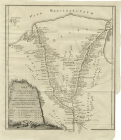
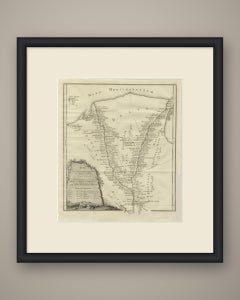
Antique Map of the Two Branches of the Nile Delta, Niebuhr, 1776

Antique Map of the Two Branches of the Nile Delta, Niebuhr, 1776

Located in Langweer, NL

This is an original antique copper engraved map from 1776 of the two main branches of the Nile through the Delta.

Category

Antique Late 18th Century Dutch Maps

Materials

Paper

Set of Two Hand-Colored Botanical Engravings by B. Maund 1836

Set of Two Hand-Colored Botanical Engravings by B. Maund 1836

Located in Langweer, NL

Maund, a Fellow of the Linnean Society, sought to make horticultural knowledge both accessible and aesthetically pleasing, blending scientific integrity with fine craftsmanship. The...

Category

Antique 1830s British Prints

Materials

Paper

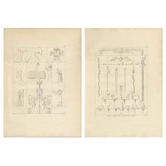
Napoleon Egypt Expedition, Pair of Egyptian Antiquities Engravings, Denon, 1802

Napoleon Egypt Expedition, Pair of Egyptian Antiquities Engravings, Denon, 1802

Located in Langweer, NL

Napoleon Egypt Expedition, Pair of Egyptian Antiquities Engravings, Denon, c.1802 This refined pair of copper-engraved plates originates from the monumental publication Voyage dans ...

Category

Antique Early 19th Century French Prints

Materials

Paper

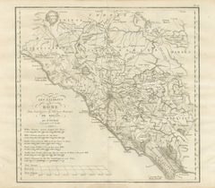
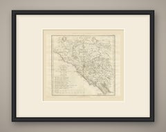
Ancient Italy and the Dalmatian Coast, d'Anville Rollin Atlas, 1818

Ancient Italy and the Dalmatian Coast, d'Anville Rollin Atlas, 1818

Located in Langweer, NL

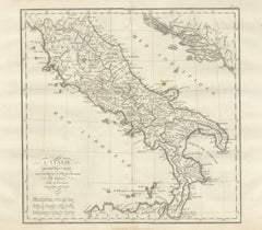
An original copper engraved map, uncolored, of ancient Italy proper, from Liguria, Bononia and Ravenna south to the north coast of Sicily, with the Dalmatian shore across the Adriatic.

Category

Antique Early 19th Century French Maps

Materials

Paper

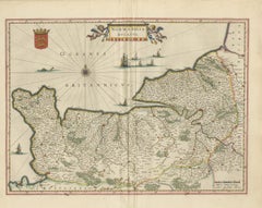
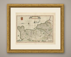
Antique Blaeu Map of Normandia, Amsterdam, 1642

Antique Blaeu Map of Normandia, Amsterdam, 1642

By Joan (Johannes) Blaeu

Located in Langweer, NL

An antique map of Normandy, titled on the plate as Normandia, engraved on copper for Joan Blaeu and published in Amsterdam in 1642 in the Dutch text edition of the atlas, Toonneel de...

Category

Antique Mid-17th Century Dutch Maps

Materials

Paper

Antique Map of the Tribe of Naphtali, Wyld Scripture Atlas, 1823

Antique Map of the Tribe of Naphtali, Wyld Scripture Atlas, 1823

Located in Langweer, NL

This is an original antique copper engraved map with original hand coloring, published in 1823 as plate X of James Wyld's Geographia Sacra, or Scripture Atlas.

Category

Antique Early 19th Century British Maps

Materials

Paper

Canaan Divided into the Twelve Tribes, Antique Hand-Colored Map, 1823

Canaan Divided into the Twelve Tribes, Antique Hand-Colored Map, 1823

Located in Langweer, NL

This is an original antique copper engraved map with original hand coloring, published in 1823 as plate VI of James Wyld's Geographia Sacra, or Scripture Atlas.

Category

Antique Early 19th Century British Maps

Materials

Paper

Antique Hand-Colored Map of the Tribe of Issachar, Wyld, 1823

Antique Hand-Colored Map of the Tribe of Issachar, Wyld, 1823

Located in Langweer, NL

This is an original antique copper engraved map with original hand coloring, published in 1823 as plate XIII of James Wyld's Geographia Sacra, or Scripture Atlas.

Category

Antique Early 19th Century British Maps

Materials

Paper

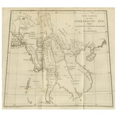
Antique Map of the Burmese Empire and Upper Indochina – by Dalrymple, c.1800

Antique Map of the Burmese Empire and Upper Indochina – by Dalrymple, c.1800

Located in Langweer, NL

Float-mounting is recommended to showcase the fold lines and full engraved border. Technique: Copper engraving Maker: C. van Baak, after Alexander Dalrymple, Netherlands, circa 1800

Category

Antique Early 19th Century English Prints

Materials

Paper

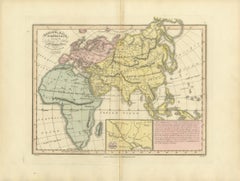
Europe, Asia and Africa After the Flood, Antique Wyld Map, 1823

Europe, Asia and Africa After the Flood, Antique Wyld Map, 1823

Located in Langweer, NL

This is an original antique copper engraved map with original hand coloring, published in 1823 as plate I of James Wyld's Geographia Sacra, or Scripture Atlas.

Category

Antique Early 19th Century British Maps

Materials

Paper

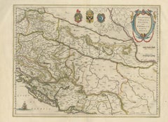
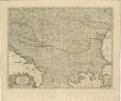
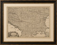
Large Map of the Habsburg–Ottoman War, Hungary & Balkans, 1729

Large Map of the Habsburg–Ottoman War, Hungary & Balkans, 1729

Located in Langweer, NL

AUTHENTICITY: An original antique copper-engraved map from the 1729 edition. This is an original period impression and not a modern reproduction.

Category

Antique Early 18th Century Dutch Baroque Maps

Materials

Paper

  • 1
  • ...
Get Updated with New Arrivals
Save "Engraved Copper", and we’ll notify you when there are new listings in this category.

Engraved Copper For Sale on 1stDibs

At 1stDibs, there are many versions of the ideal engraved copper for your home. Each engraved copper for sale was constructed with extraordinary care, often using metal, copper and paper. There are 90 variations of the antique or vintage engraved copper you’re looking for, while we also have 3 modern editions of this piece to choose from as well. Whether you’re looking for an older or newer engraved copper, there are earlier versions available from the 18th Century and newer variations made as recently as the 21st Century. An engraved copper made by Arts and Crafts designers — as well as those associated with Victorian — is very popular. A well-made engraved copper has long been a part of the offerings for many furniture designers and manufacturers, but those produced by Birmingham Guild of Handicraft Ltd., Francesco Curti and Giuseppe Maria Mitelli are consistently popular.

How Much is a Engraved Copper?

Prices for an engraved copper can differ depending upon size, time period and other attributes — at 1stDibs, they begin at $147 and can go as high as $64,867, while the average can fetch as much as $1,500.