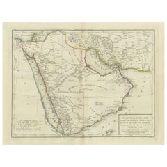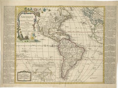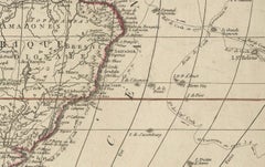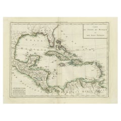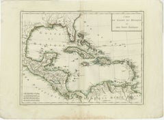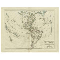
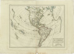
Antique Map of North and South America by Pierre Antoine Tardieu (1784-1869)
$486Sale Price|20% Off
H 16.34 in W 22.25 in D 0.01 in
Antique Map of North and South America by Pierre Antoine Tardieu (1784-1869)
Located in Langweer, NL
This is an original antique map titled "Carte Générale et Politique de l'Amérique," depicting the
Category
Antique Early 1800s Maps
Materials
Paper