
Scroll Map

Large Scale Antique Scroll Map of Lincolnshire, England, Dated 1778

Large Scale Antique Scroll Map of Lincolnshire, England, Dated 1778

Located in St Annes, Lancashire

Wonderful scroll map of Lincolnshire By Captain Armstrong, 1778 Copper plate engraving on paper

Category

Antique 1770s English Georgian Maps

Materials

Wood, Paper

Sweden & Adjacent Portions of Scandinavia: A Hand-Colored 18th C. Map by Homann

Sweden & Adjacent Portions of Scandinavia: A Hand-Colored 18th C. Map by Homann

By Johann Baptist Homann

Located in Alamo, CA

decorative scroll work The map is beautiful han-colored. There is a central vertical fold, as issued

Category

Antique 1720s German Maps

Materials

Paper

1750 Map of the Holy Land: The Land of Canaan and the Twelve Tribes

1750 Map of the Holy Land: The Land of Canaan and the Twelve Tribes

Located in Langweer, NL

as the menorah and Torah scrolls, reflecting the spiritual significance of the region. An inset map

Category

Antique 1750s French Maps

Materials

Paper

Map of Gard France with Pont du Gard and Wine Regions by Vuillemin, 19th c

Map of Gard France with Pont du Gard and Wine Regions by Vuillemin, 19th c

Located in Langweer, NL

Title: Map of Gard France with Pont du Gard and Wine Regions by Vuillemin, 19th c Description

Category

Antique Mid-19th Century French Maps

Materials

Paper

Early 20th c. Plan of Paris Map Hanging Scroll c.1920

Early 20th c. Plan of Paris Map Hanging Scroll c.1920

Located in San Francisco, CA

ABOUT An original folding map of the Paris on two dowels and hanging chain. Linen backed

Category

Early 20th Century French Art Deco Decorative Art

Materials

Wood, Paper, Linen

Vintage Leather Carrying Case With Strap

Vintage Leather Carrying Case With Strap

By Tori Hermes

Located in Chula Vista, CA

For your consideration, a vintage leather carrying case, often used for items like telescopes, maps

Category

Vintage 1960s American Classical Decorative Boxes

Materials

Leather

Napoleon Empire Egyptian theme mantel clock with musical movement

Napoleon Empire Egyptian theme mantel clock with musical movement

Located in London, GB

war including cannon, cannon balls, map scrolls and standards bearing eagles. The silvered dial with

Category

Antique 1810s French Mantel Clocks

Materials

Bronze, Ormolu

Antique Swiss German Black Forest Carved Walnut Writing Letter Box Folding Desk

Antique Swiss German Black Forest Carved Walnut Writing Letter Box Folding Desk

By Black Forest

Located in Portland, OR

decorated with incised carving of scrolls and maps with more entwined edelweiss. The condition is very good

Category

Antique 1880s German Black Forest Desks

Materials

Walnut

Recent Sales

Antique 20th Century Large Scrolled Map Of The World, George Philips c.1918

Antique 20th Century Large Scrolled Map Of The World, George Philips c.1918

Located in Royal Tunbridge Wells, Kent

Antique early-20th Century large commercial map of the world by George Philips. This scrolled map

Category

Vintage 1910s British Other Prints

Materials

Wood, Paper

Very Large Antique Brass and Mahogany Atlas Coffee Table

Very Large Antique Brass and Mahogany Atlas Coffee Table

Located in London, GB

edge which holds in a glass top over an ancient map of the world. The map is typical of the way the

Category

Vintage 1950s English Coffee and Cocktail Tables

Materials

Brass

Antique Scroll Map of India by James Rennell, Dated 1786

Antique Scroll Map of India by James Rennell, Dated 1786

Located in St Annes, Lancashire

Wonderful scroll map of India. Fabulous cartouche Showing the course of The Ganges By James

Category

Antique 1780s English Georgian Maps

Materials

Wood, Paper

Religious Antique Map of the Twelve Tribes of Israel, circa 1750

Religious Antique Map of the Twelve Tribes of Israel, circa 1750

Located in Langweer, NL

map, a large inset map on a scroll shows the division of Palestine into its biblical kingdoms. The

Category

Antique Mid-18th Century Maps

Materials

Paper

Framed 19th Century Colton Map of Mexico, Texas, California and US Territories

Framed 19th Century Colton Map of Mexico, Texas, California and US Territories

By J.H. Colton

Located in Alamo, CA

. It is surrounded by a decorative scroll-work border. The map is presented in a light brown

Category

Antique Mid-19th Century American Other Maps

Materials

Paper

Vintage School Map of Pennsylvania

Vintage School Map of Pennsylvania

Located in Alexandria, VA

Wonderful scroll map of Pennsylvania. Original hanging hardward still attached for hanging. Rolls

Category

20th Century Maps

Materials

Fabric

Large Pictorial Map of North America by Palmer & Associates, Los Angeles

Large Pictorial Map of North America by Palmer & Associates, Los Angeles

Located in Los Angeles, CA

wooden dowel are two canvas loops so it can be hung. The scrolled map has a short cover (some damage

Category

Vintage 1930s American Mid-Century Modern Maps

Materials

Canvas, Paper, Wood

People Also Browsed

Catskill Mountains from Germantown NY

Thomas ColeCatskill Mountains from Germantown NY, ca. 1890

$1,500Sale Price|25% Off

H 20 in W 34 in D 0.5 in

Catskill Mountains from Germantown NY

By Thomas Cole

Located in Wilton Manors, FL

Gorgeous panoramic sunset landscape by unknown artist, ca. 1890. Oil on canvas measuring 20 x 34 inches. Depicted are the Catskill Mountains facing west from somewhere in Dutchess ...

Category

Late 19th Century Hudson River School Landscape Paintings

Materials

Canvas, Oil

Large and Very Rare Silver-Inlaid Antique Judaica Tray

Large and Very Rare Silver-Inlaid Antique Judaica Tray

Located in London, GB

A large and very rare silver-inlaid antique Judaica tray Jerusalem, c.1900 Height 2.5cm, diameter 62cm This large and remarkable work is a copper and silver-inlaid antique Jewis...

Category

Antique Early 1900s Israeli Modern Religious Items

Materials

Silver, Brass, Copper

Hand-Colored Map of the Holy Land Divided Among the Twelve Tribes, c.1720

Hand-Colored Map of the Holy Land Divided Among the Twelve Tribes, c.1720

Located in Langweer, NL

Hand-Colored Map of the Holy Land Divided Among the Twelve Tribes, c.1720 This striking antique map, titled "Iudaea seu Palaestina ob Sacratissima Redemtoris Vestigia Hodie Dicta Te...

Category

Antique Early 18th Century German Maps

Materials

Paper

1632 Decorative Map of the Holy Land, Insets of Jerusalem and Biblical Artefacts

1632 Decorative Map of the Holy Land, Insets of Jerusalem and Biblical Artefacts

$1,525Sale Price|20% Off

H 15.44 in W 34.14 in D 0.01 in

1632 Decorative Map of the Holy Land, Insets of Jerusalem and Biblical Artefacts

Located in Langweer, NL

Title: 1632 Decorative Map of the Holy Land with Insets of Jerusalem and Biblical Artefacts Description: This richly detailed map of the Holy Land, published in 1632, offers a fa...

Category

Antique 1630s Prints

Materials

Paper

Antique Map of the Holy Land, Showing the Location of the Various Tribes

Antique Map of the Holy Land, Showing the Location of the Various Tribes

$1,144Sale Price|20% Off

H 20.48 in W 23.82 in D 0.02 in

Antique Map of the Holy Land, Showing the Location of the Various Tribes

Located in Langweer, NL

Antique map titled 'Judaea seu Terra Sancta quae Hebraeorum sive Israelitarum (..)'. Map of The Holy Land, showing the location of the various tribes, in two kingdoms, Judah and Isra...

Category

Antique Early 18th Century Maps

Materials

Paper

Get Updated with New Arrivals
Save "Scroll Map", and we’ll notify you when there are new listings in this category.

Scroll Map For Sale on 1stDibs

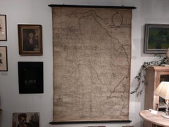
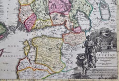
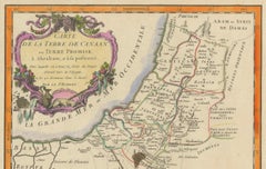
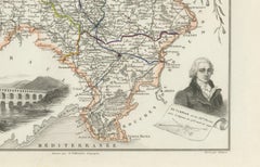
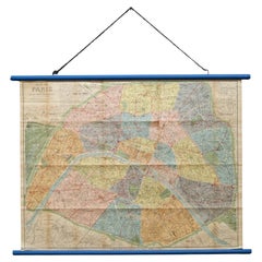
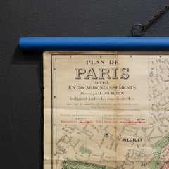
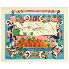
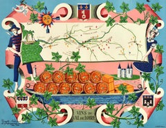
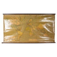
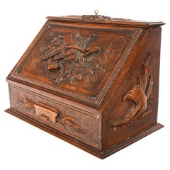
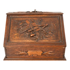
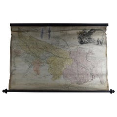
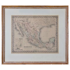
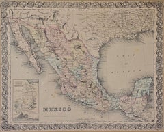
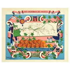
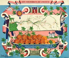
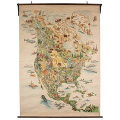
Find many varieties of an authentic scroll map available at 1stDibs. A scroll map — often made from paper, fabric and silk — can elevate any home. There are many kinds of the scroll map you’re looking for, from those produced as long ago as the 18th Century to those made as recently as the 20th Century. A scroll map made by Georgian designers — as well as those associated with Art Deco — is very popular. You’ll likely find more than one scroll map that is appealing in its simplicity, but 
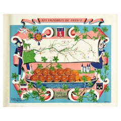
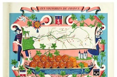
Leslie MacDonald Gill, Lucien Boucher and E.O. Seymour produced versions that are worth a look.

How Much is a Scroll Map?

The average selling price for a scroll map at 1stDibs is $2,417, while they’re typically $108 on the low end and $28,500 for the highest priced.