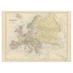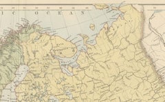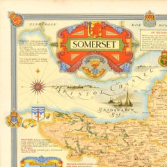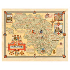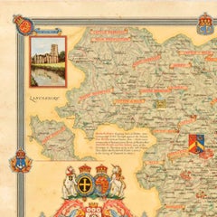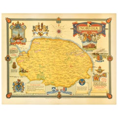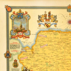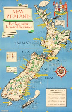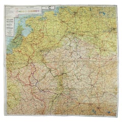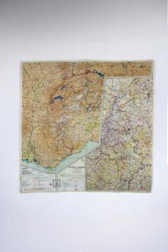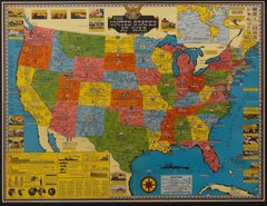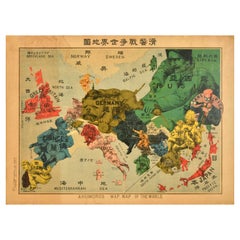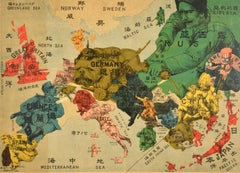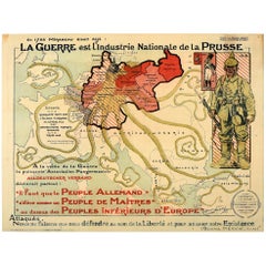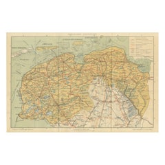
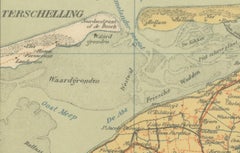
Antique Map of Friesland & Groningen – Sleeswijk Atlas Dutch Provinces, 1914
$253
H 9.38 in W 14.3 in D 0.01 in
Antique Map of Friesland & Groningen – Sleeswijk Atlas Dutch Provinces, 1914
Located in Langweer, NL
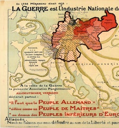
an accurate picture of the provinces on the eve of the First World War. This map was published by A
Category
Early 20th Century Dutch Maps
Materials
Paper