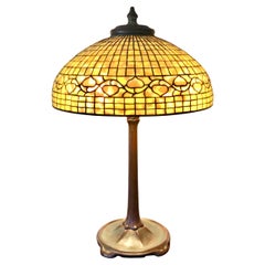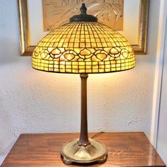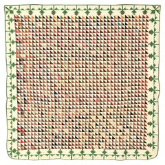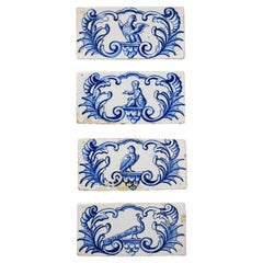
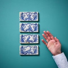
Set of Antique Blue & White Delft Style Border Tiles
Located in Wormelow, Herefordshire
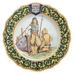
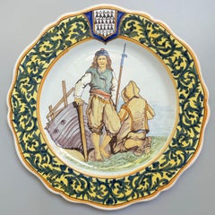
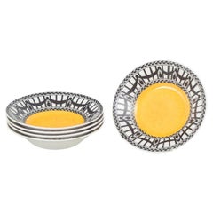
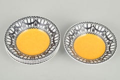
Four late 18th / early 19th century antique Delft style border tiles, each handpainted with a blue and white cartouche with birds, a peacock and a figure to the centre.
Category
Late 18th Century Dutch Georgian Antique Borders
Materials
Clay