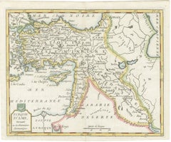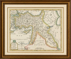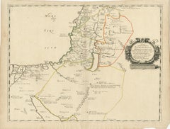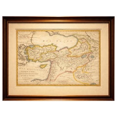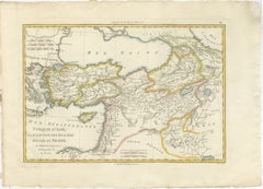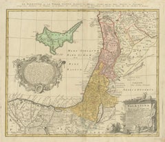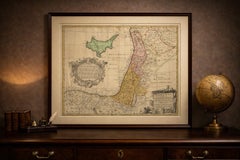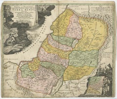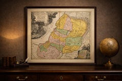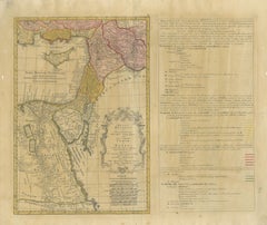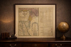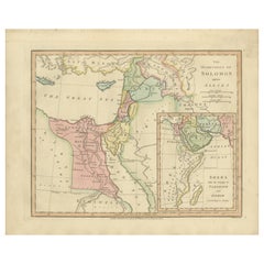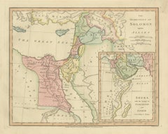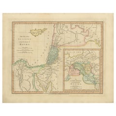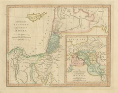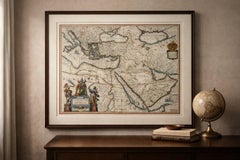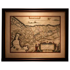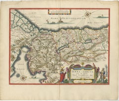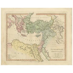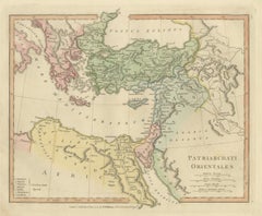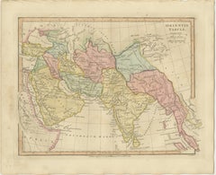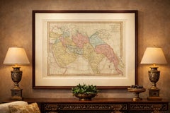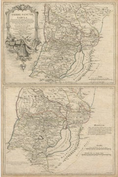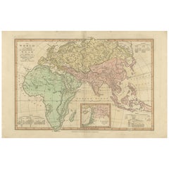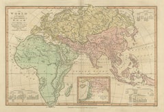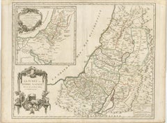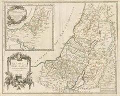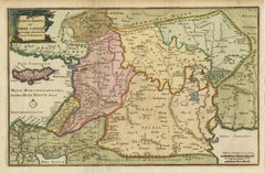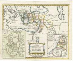
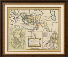
New Testament Holy Land Map with Jerusalem Plan, French, c.1779
Located in Langweer, NL
At center is the main map showing the eastern Mediterranean world during the Roman and early Christian era, including Judea, Syria, Cappadocia, Galatia, Mesopotamia, and parts of Gre...
Category
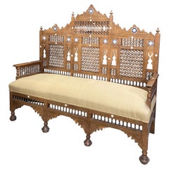
Late 18th Century French Antique Syrian
Materials
Paper