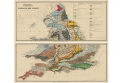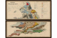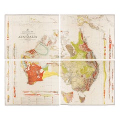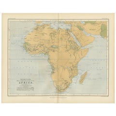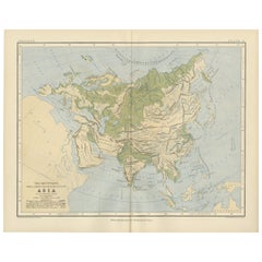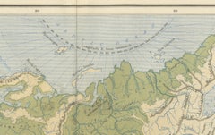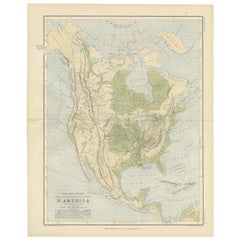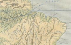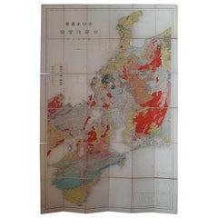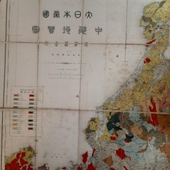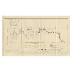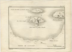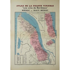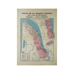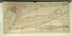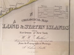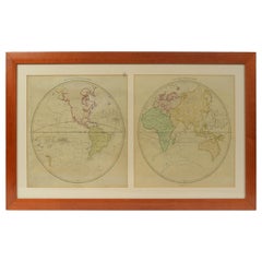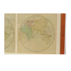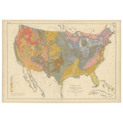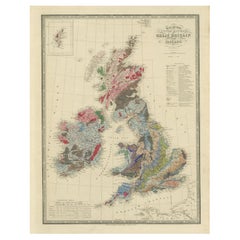
Antique Geological Map of the World by Johnston '1850'
$279Sale Price|20% Off
Antique Geological Map of the World by Johnston '1850'
Located in Langweer, NL
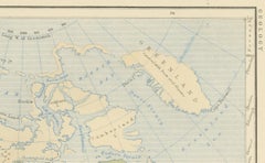
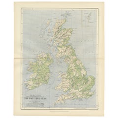
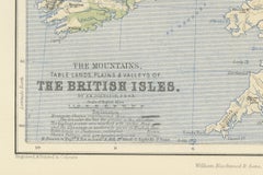
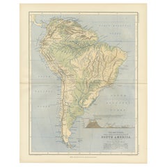
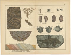
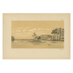
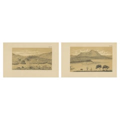
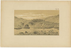
Antique map titled 'The Geological Structure of the Globe'.
Category
Antique Mid-19th Century Maps
Materials
Paper