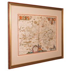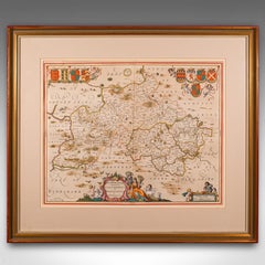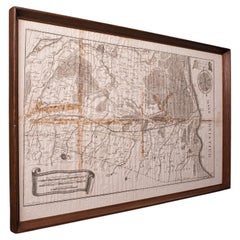
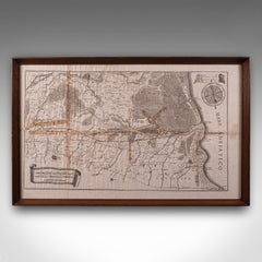
Antique Italian Region Map, Framed Cartography, 18th Century, Emilia Romagna
$1,428Sale Price|20% Off
Antique Italian Region Map, Framed Cartography, 18th Century, Emilia Romagna
Located in Hele, Devon, GB
This is an antique Italian region map. A framed cartographic representation of the Adriatic coast and Eastern Emilia-Romagna in the 18th century, engraved by Giovanni Petroski.
Category
Antique 1750s Italian Georgian Maps
Materials
Glass, Paper