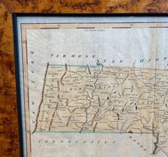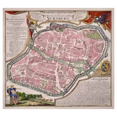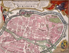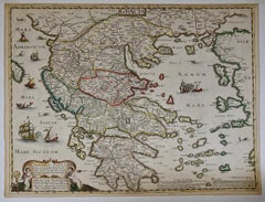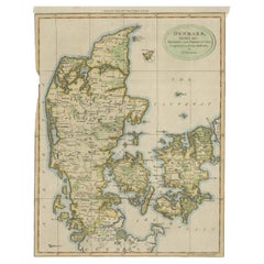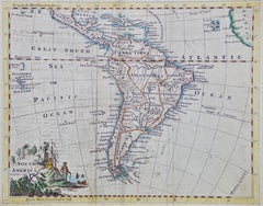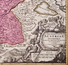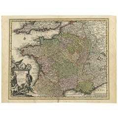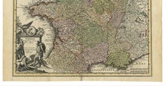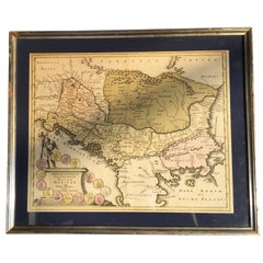
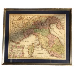
Four 18th Century Engraved and Hand-Colored Maps by Weigel
By Christoph Weigel
Located in Copenhagen, K
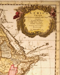
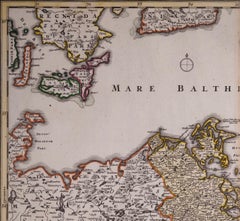
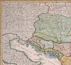
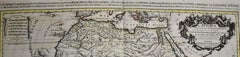
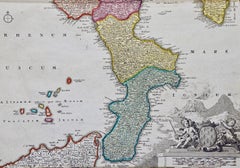
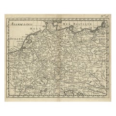
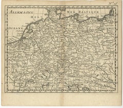
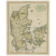
Small collection of four engraved maps of Italy, Balkan and of Central Asia. Two are of Italy, one Corsica and Northern Italy and the other of the Southern Italian boot...
Category
18th Century German Antique Christoph Weigel
Materials
Paper