Pierre M. Lapie Wall Decorations

to
1
1
Height
to
Width
to
1
1
1
1
1
1
1
5
432
294
245
152
Creator: Pierre M. Lapie
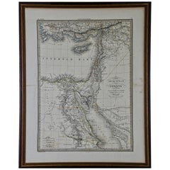
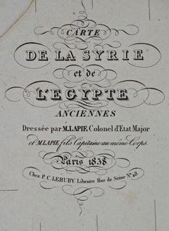
Map of the Holy Land "Carte de la Syrie et de l'Egypte" by Pierre M. Lapie

Map of the Holy Land "Carte de la Syrie et de l'Egypte" by Pierre M. Lapie

By Pierre M. Lapie

Located in Alamo, CA

An early 19th century map of ancient Syria and Egypt entitled "Carte de la Syrie et de l'Egypte anciennes/dressée par M. Lapie, Colonel d'Etat Major, et...

Category

Early 19th Century French Antique Pierre M. Lapie Wall Decorations

Materials

Paper

Related Items
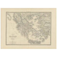
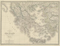
Antique 1842 Map of Greece by Pierre M. Lapie, Mid-19th Century

Antique 1842 Map of Greece by Pierre M. Lapie, Mid-19th Century

$464Sale Price|20% Off

H 19.89 in W 26.78 in D 0.02 in

Antique 1842 Map of Greece by Pierre M. Lapie, Mid-19th Century

Located in Langweer, NL

Antique map titled 'Carte de la Grèce Ancienne'. Map of Greece. This map originates from 'Atlas universel de géographie ancienne et moderne (..)' by Pier...

Category

Mid-19th Century French Antique Pierre M. Lapie Wall Decorations

Materials

Paper

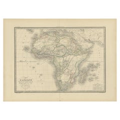
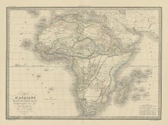
Antique Map of Africa by Pierre M. Lapie, Mid-19th Century Print, 1842

Antique Map of Africa by Pierre M. Lapie, Mid-19th Century Print, 1842

Located in Langweer, NL

Antique map titled 'Carte d'Afrique'. Map of Africa. This map originates from 'Atlas universel de géographie ancienne et moderne (..)' by Pierre M. Lapie...

Category

Mid-19th Century French Antique Pierre M. Lapie Wall Decorations

Materials

Paper

Antique Map of Spain and Portugal by Pierre M. Lapie, 1842, Wall Art

Antique Map of Spain and Portugal by Pierre M. Lapie, 1842, Wall Art

$334Sale Price|20% Off

H 19.89 in W 26.78 in D 0.01 in

Antique Map of Spain and Portugal by Pierre M. Lapie, 1842, Wall Art

Located in Langweer, NL

Antique map titled 'Carte de la Peninsule comprenant l'Espagne et le Portugal'. Map of Spain and Portugal. This map originates from 'Atlas universel de géographie ancienne et mod...

Category

1840s French Antique Pierre M. Lapie Wall Decorations

Materials

Paper

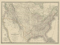
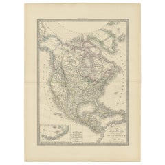
Antique Map of North America by Pierre M. Lapie, Paper, France, 1842

Antique Map of North America by Pierre M. Lapie, Paper, France, 1842

Located in Langweer, NL

Antique map titled 'Carte de l'Amérique septentrionale'. Map of North America, with an inset map of the Aleutian Islands. This map originates from 'Atlas universel de géographie anci...

Category

Mid-19th Century French Antique Pierre M. Lapie Wall Decorations

Materials

Paper

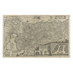
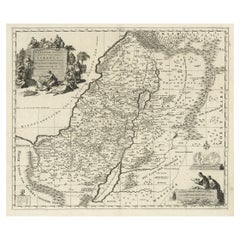
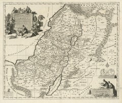
Beautiful Rare Antique Map of the Holy Land, 1648

Beautiful Rare Antique Map of the Holy Land, 1648

$781Sale Price|20% Off

H 13.59 in W 19.89 in D 0 in

Beautiful Rare Antique Map of the Holy Land, 1648

Located in Langweer, NL

Antique map Holy Land titled 'Perigrinatie ofte Veertich-Iarige Reyse, der kinderen Israels uyt Egipten, door de Roode-Zee; mitsgaders de Woestyne tot int Beloofde Landt Canaan, : met groote vlyt uyt verscheryden auctoren by een gestelt, uyt de H. Schrift gecorigeert, ende int licht gegeven'. Beautiful and rare antique map of the Holy Land...

Category

1640s Antique Pierre M. Lapie Wall Decorations

Materials

Paper

Antique Map of Paris, "Carte Routiere des Environs de Paris" 1841

Antique Map of Paris, "Carte Routiere des Environs de Paris" 1841

Located in Colorado Springs, CO

This beautiful hand-colored road map of Paris was published in 1841. The map shows Paris and the surrounding area in a folding pocket map. Organized and detailed for travelers, this ...

Category

1840s French Antique Pierre M. Lapie Wall Decorations

Materials

Paper

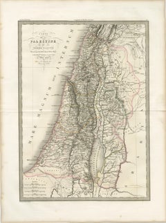
Antique Map of Palestine and the Holy Land – Lapie, Paris, 1838

Antique Map of Palestine and the Holy Land – Lapie, Paris, 1838

Located in Langweer, NL

Antique Map of Palestine and the Holy Land – Lapie, Paris, 1838 This elegant and finely engraved map of Palestine, titled Carte de la Palestine ou Terre Sainte, was published in Paris in 1838 as part of the celebrated Atlas Universel de Géographie Ancienne et Moderne by the distinguished French cartographer M. Lapie. It presents a detailed and scholarly depiction of the Holy Land, a region of profound historical, religious, and cultural significance. The map encompasses the eastern Mediterranean coastline, extending inland across the varied topography of Palestine and surrounding regions. The Dead Sea (Lac Asphaltite) is prominently depicted, along with the Jordan River running north to south, anchoring the composition both geographically and visually. Major biblical and historical locations—such as Jerusalem, Jericho, Bethlehem, Nazareth, and Hebron—are carefully marked, reflecting the strong 19th-century European interest in biblical geography and pilgrimage landscapes. Lapie’s cartographic approach balances clarity with refinement. Mountain ranges are rendered with delicate hachuring, conveying the rugged terrain of the region, while subtle hand coloring distinguishes administrative or historical divisions without overwhelming the composition. The Mediterranean Sea (Mare Internum) frames the western edge, adding visual balance to the vertically oriented sheet. The engraving was executed by Pierre Antoine Tardieu, a member of the renowned Tardieu family of French engravers, known for their precision and contribution to scientific and cartographic works. His refined linework ensures exceptional readability and lends the map an understated elegance characteristic of high-quality French atlas production of the period. This map functions both as a scholarly representation of biblical lands and as a refined decorative piece. Its vertical format makes it particularly suitable for display in narrower wall spaces, such as between windows or within a gallery arrangement. It would appeal to collectors of historical cartography, as well as those with an interest in religious history and the geography of the ancient Near East. Condition: Very good condition overall. Light toning consistent with age and a central fold as issued. Margins are wide and clean. Minor spotting in places. No significant tears or restorations observed. Plate mark visible. Framing tips: This piece would display beautifully in a dark walnut or ebonized frame with a wide ivory or off-white mat, enhancing its classical and historical character. For a more contemporary look, a slim black frame with a floating mount can create a clean and sophisticated presentation. Technique: Engraving with original hand coloring Maker: M. Lapie, engraved by Pierre Antoine Tardieu, Paris, 1838 Keywords: Palestine, Holy Land, Terre Sainte, Jerusalem, Dead Sea, Jordan River, Bethlehem, Nazareth, Hebron, Jericho, biblical geography, Near East, Middle East, Levant, Mediterranean Sea, Mare Internum, ancient geography, religious maps, historical cartography, 19th century map, French cartography, Atlas Universel, Lapie map, Tardieu engraving, antique map Palestine...

Category

Early 19th Century French Antique Pierre M. Lapie Wall Decorations
Materials

Paper

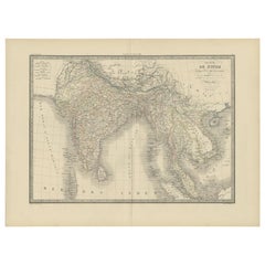
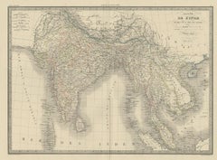
Antique Map of India and Ceylon by Pierre M. Lapie, Paper, 1842

Antique Map of India and Ceylon by Pierre M. Lapie, Paper, 1842

Located in Langweer, NL

Antique map titled 'Carte de l'Inde en deca et au dela du Gange'. Map of India and Ceylon (Sri Lanka). This map originates from 'Atlas universel de géographie ancienne et moderne (.....

Category

Mid-19th Century French Antique Pierre M. Lapie Wall Decorations
Materials

Paper

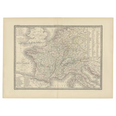
Antique Map of France by Pierre M. Lapie, 1842, Decorative Wall Art

Antique Map of France by Pierre M. Lapie, 1842, Decorative Wall Art

Located in Langweer, NL

Antique map titled 'Carte comparée de la France en 1789 et 1813'. Map of France. This map originates from 'Atlas universel de géographie ancienne et moderne (..)' by Pierre M. Lapie ...

Category

19th Century French Antique Pierre M. Lapie Wall Decorations
Materials

Paper

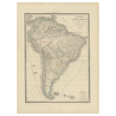
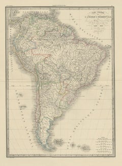
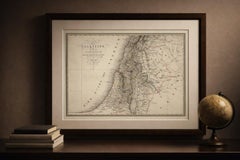
Antique Map of South America by Lapie '1842'

Antique Map of South America by Lapie '1842'

$447

H 26.78 in W 19.89 in D 0.02 in

Antique Map of South America by Lapie '1842'

Located in Langweer, NL

Antique map titled 'Carte Générale de l'Amérique Meridionale'. Map of South America. This map originates from 'Atlas universel de géographie ancienne et moderne (..)' by Pierre M. La...

Category

Mid-19th Century Antique Pierre M. Lapie Wall Decorations
Materials

Paper

Antique Map of Europe by Pierre M. Lapie, Engraved, France, 1842

Antique Map of Europe by Pierre M. Lapie, Engraved, France, 1842

Located in Langweer, NL

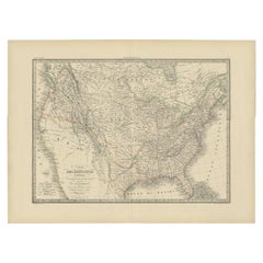
Antique map titled 'Carte de l'Europe'. Map of Europe. This map originates from 'Atlas universel de géographie ancienne et moderne (..)' by Pierre M. Lapie and Alexandre E. Lapie. Pi...

Category

Mid-19th Century French Antique Pierre M. Lapie Wall Decorations
Materials

Paper

Pierre M. Lapie wall decorations for sale on 1stDibs.

Pierre M. Lapie wall decorations are available for sale on 1stDibs. These distinctive items are frequently made of paper and are designed with extraordinary care. There are many options to choose from in our collection of Pierre M. Lapie wall decorations, although gray editions of this piece are particularly popular. If you’re looking for additional options, many customers also consider wall decorations by Nicolas Sanson, Denis Paul Noyer, and Pierre-Joseph Redouté. Prices for Pierre M. Lapie wall decorations can differ depending upon size, time period and other attributes — on 1stDibs, these items begin at $775 and can go as high as $775, while a piece like these, on average, fetch $775.