WFP Napier CB

to
1
1

Use search to find more

1
1

Use search to find more

1
12,943
3,760
3,556
2,649

Use search to find more

Creator: W.F.P. Napier, C.B.
History of the War in the Peninsula by W.F.P. Napier with Lord Elgin Provenance

History of the War in the Peninsula by W.F.P. Napier with Lord Elgin Provenance

By W.F.P. Napier, C.B.

Located in valatie, NY

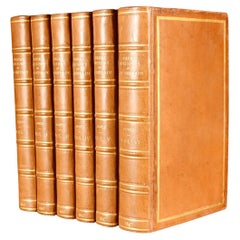
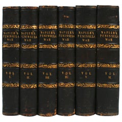
A complete set of "History of the War in the Peninsula" by W.F.P. Napier, in 6 volumes, numbered 1-6. London: Thomas & William Boone all volumes are published in different years from 1828-1840 and are all 1st Ed's. 3/4 leather and marbled board hard covers. The history of the war in the Iberian Peninsula and in the South of France, from 1807 to the 1846 written by W.F.P. Napier, C.B., Colonel H.P. Forty-Third Regiment, and a member of the Royal Swedish Academy of Military Sciences. The wars describe the military conflict between Napoleon's Empire and Bourbon Spain. The United Kingdom of Great Britain and Ireland allied with the Kingdom of Portugal, for control of the Iberian Peninsula during the Napoleonic wars. The volumes have illustrated fold out maps portraying various battles. The set was owned originally by Colonel Thomas Bruce (Lord Elgin) the 7th Earl of Elgin. He sold the "Elgin Marbles" taken from the Parthenon to the British government in 1816. The books were later owned by George Woods...

Category

Early 19th Century English Antique WFP Napier CB

Materials

Paper

Related Items
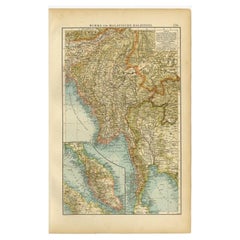
Antique Map of Burma and the Malayan Peninsula by Andree, 1904

Antique Map of Burma and the Malayan Peninsula by Andree, 1904

Located in Langweer, NL

Antique map titled 'Burma und Malayische Halbinsel'. Map of Burma / Myanmar and the Malayan peninsula. This map originates from 'Andrees Allgemeiner Handatlas in 126 Haupt-Und 139 Ne...

Category

20th Century WFP Napier CB

Materials

Paper

1847 The Naval History of Great Britain, from the Declaration of War by France

1847 The Naval History of Great Britain, from the Declaration of War by France

By William James (Author)

Located in Bath, GB

A beautiful edition of naval historian William James's detailed and richly illustrated history of the Royal Navy. A 'New Edition' of naval historian William James's impressive work,...

Category

1840s British Antique WFP Napier CB

Materials

Paper

John Lord CAMPBELL. The Lives Of The Lord Chancellors. 10 VOLUMES - 1874

John Lord CAMPBELL. The Lives Of The Lord Chancellors. 10 VOLUMES - 1874

Located in Hillsborough, NJ

AUTHOR: CAMPBELL, John Lord (Sir Joseph Arnould). TITLE: The Lives Of The Lord Chancellors and Keepers Of The Great Seal of England. PUBLISHER: NY: James Cockcroft & Co., 1874. D...

Category

1870s North American Antique WFP Napier CB

Materials

Leather

The Works Of Lord Macaulay, 1866, Volumes 6 Of 8

The Works Of Lord Macaulay, 1866, Volumes 6 Of 8

$295 / set

H 8.75 in W 6 in D 1.75 in

The Works Of Lord Macaulay, 1866, Volumes 6 Of 8

Located in Bridgeport, CT

The Works of Lord Macaulay, complete in 8 volumes, was published in 1866 by D. Appleton & Co. in New York. This collection was edited by his sister, Lady Trevelyan, and is a comprehe...

Category

19th Century American Victorian Antique WFP Napier CB

Materials

Leather, Paper

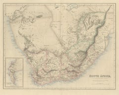
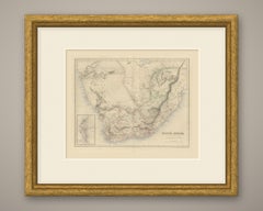
Antique Map of South Africa with the Peninsula of the Cape Inset, circa 1860

Antique Map of South Africa with the Peninsula of the Cape Inset, circa 1860

Located in Langweer, NL

This is an original antique engraved map, colored by hand, from Fullarton's Companion Atlas to the Gazetteer of the World. The title in the lower right reads "SOUTH AFRICA," with the...

Category

Mid-19th Century British Antique WFP Napier CB

Materials

Paper

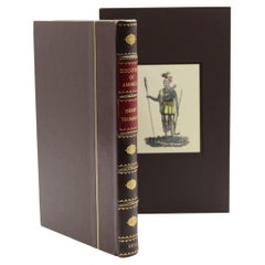
History of the Discovery of America by Henry Trumbull, 1832

History of the Discovery of America by Henry Trumbull, 1832

Located in Colorado Springs, CO

Trumbull, Henry. History of the Discovery of America: Of the Landing of our Forefathers at Plymouth, and of Their Most Remarkable Engagements with the Indians in New-England, From Th...

Category

1830s American Early Victorian Antique WFP Napier CB

Materials

Leather, Fabric, Paper

The War: An Intimate History, 1941-1945 Hardcover Book by Ken Burns

The War: An Intimate History, 1941-1945 Hardcover Book by Ken Burns

Located in Moreno Valley, CA

The War: An Intimate History, 1941-1945 Hardcover Book. New York: Alfred A. Knopf, 2007. First Edition; First Printing. Hardcover. First edition of this companion volume to the doc...

Category

Early 2000s American Mid-Century Modern WFP Napier CB

Materials

Paper

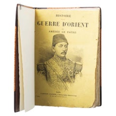
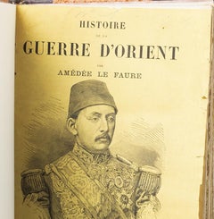
Books - Faure; Amàdée - History of the war of Orient (1877)

Books - Faure; Amàdée - History of the war of Orient (1877)

$101Sale Price|50% Off

H 7.88 in W 5.91 in D 1.97 in

Books - Faure; Amàdée - History of the war of Orient (1877)

Located in Porto, PT

Books - Faure; Amàdée - History of the Eastern War (1877). History of the Eastern War (1877) Vol 1. By Amédée LE FAURE. Editions Garnier 1878. 1st Series. In-4 511 pages. Binding wit...

Category

19th Century Unknown Antique WFP Napier CB

Materials

Paper

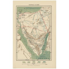
Antique Map of the Sinai Peninsula, '1895'

Antique Map of the Sinai Peninsula, '1895'

$112

H 9.85 in W 6.3 in D 0.02 in

Antique Map of the Sinai Peninsula, '1895'

Located in Langweer, NL

Antique map titled 'Peninsula of Sinaï'. Lithographed map of the Sinai Peninsula, a peninsula in Egypt, and the only part of the country located in Asia. It is situated between the M...

Category

Late 19th Century Antique WFP Napier CB

Materials

Paper

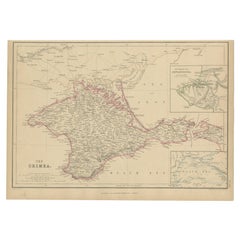
Antique Map of the Crimean Peninsula and Sevastopol by W. G. Blackie, 1859

Antique Map of the Crimean Peninsula and Sevastopol by W. G. Blackie, 1859

Located in Langweer, NL

Antique map titled 'The Crimea'. Original antique map of the Crimean Peninsula, Black Sea and Sevastopol. This map originates from ‘The Imperial Atlas of Modern Geography’. Published...

Category

Mid-19th Century Antique WFP Napier CB

Materials

Paper

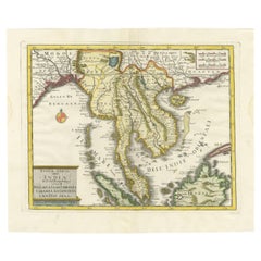
Antique Map of the Region Centered on the Malay Peninsula by Tirion 'c.1760'

Antique Map of the Region Centered on the Malay Peninsula by Tirion 'c.1760'

Located in Langweer, NL

Antique map titled 'Nuova Carta dell' India (..)'. Decorative map of the region centered on the Malay Peninsula and extending from the Straits of Singapore, Malacca and Borneo in the South to China in the east and the Bay of Bengal...

Category

Mid-18th Century Antique WFP Napier CB

Materials

Paper

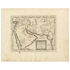
Antique Map of the Arabian Peninsula by Franceschini, '1739'

Antique Map of the Arabian Peninsula by Franceschini, '1739'

Located in Langweer, NL

Antique map titled 'Conventus et Residentiae'. Rare map of the Arabian Peninsula. This map originates from 'Provinciarum et Conventum Fratrum Discalc...

Category

Mid-18th Century Antique WFP Napier CB

Materials

Paper

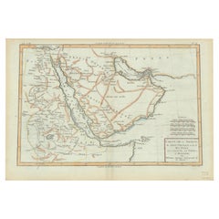
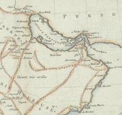
Old Map of the Arabian Peninsula with Parts of Egypt, Sudan, Eritrea & Ethiopia

Old Map of the Arabian Peninsula with Parts of Egypt, Sudan, Eritrea & Ethiopia

Located in Langweer, NL

"Carte de l'Arabie, du Golfe Persique, et de la Mer Rouge, avec l'Egypte, la Nubie et l'Abissinie", Bonne, Rigobert Subject: Arabia Period: 1780 (circa) Publication: Atlas de Toutes...

Category

1780s Antique WFP Napier CB

Materials

Paper

War of the Worlds
War of the Worlds

War of the Worlds

$1,025Sale Price|20% Off

H 8 in W 10 in D 0.1 in

War of the Worlds

Located in London, GB

Original British front of house card for The War of the Worlds 1953 it was used inside the foyer of the cinema. This artwork featuring the invading spacecraft is the best card from the set of 8. The film is one of the most famous science fiction films ever made. It was directed by Byron Haskin and starred Gene Barry, Ann Robinson...

Category

1950s British Vintage WFP Napier CB

Materials

Paint

1792 Map of Eastern Africa and the Arabian Peninsula by Delisle/Elwe

1792 Map of Eastern Africa and the Arabian Peninsula by Delisle/Elwe

Located in Langweer, NL

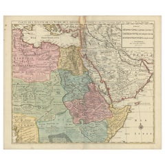
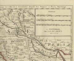
1792 Map of Eastern Africa and the Arabian Peninsula by Delisle/Elwe This detailed 1792 map, created by Delisle and published by Elwe, depicts northeastern Africa, including Egypt, ...

Category

1790s Antique WFP Napier CB

Materials

Paper

W.f.p. Napier, C.b. furniture for sale on 1stDibs.

W.F.P. Napier, C.B. furniture are available for sale on 1stDibs. These distinctive items are frequently made of paper and are designed with extraordinary care. There are many options to choose from in our collection of W.F.P. Napier, C.B. furniture, although black editions of this piece are particularly popular. If you’re looking for additional options, many customers also consider furniture by Ian Fleming, Charles Dickens, and Joseph Braham. Prices for W.F.P. Napier, C.B. furniture can differ depending upon size, time period and other attributes — on 1stDibs, these items begin at $4,500 and can go as high as $4,500, while a piece like these, on average, fetch $4,500.