1,163 results for "vintage nautical map print"

1,157
4
2
to
507
1,102
60
1,163
1,159
1,162
14
6
4
2
2
2
2
1
1
679
376
102
6
49
26
11
18
3
9
6
5
8
1
7
1
2
1,146
32
19
12
6
342
97
95
93
42
13
8
8
8
7
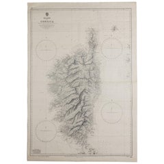
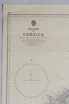
Old Nautical Map of Corsica

Old Nautical Map of Corsica

Located in Alessandria, Piemonte

Old map of Corsica isle, surveyed by Captain Hell, of the French Royal Navy in 1824, engraved and published on 1874, with additions and corrections to 1...

Category

Antique Early 19th Century English Other Prints

Materials

Paper

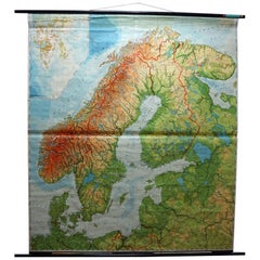
Vintage Rollable Mural Map Wall Chart Print Scandinavia Norway Sweden Finland

Vintage Rollable Mural Map Wall Chart Print Scandinavia Norway Sweden Finland

Located in Berghuelen, DE

A great impressive cottagecore map illustrating Scandinavia (Norway, Sweden, Finland, Denmark and bordering Baltic Sea countries). Colorful print on paper reinforced with canvas. Mea...

Category

Mid-20th Century German Country Prints

Materials

Canvas, Wood, Paper

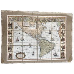
Italian Contemporary Handcolored Old Map Printed on Canvas "The Americas"

Italian Contemporary Handcolored Old Map Printed on Canvas "The Americas"

Located in Scandicci, Florence

Beautiful reproduction of an antique map showing th Planisfere, with continets, lands and their populations. We can see with what mastery of joints and vivid colours the author depic...

Category

21st Century and Contemporary Italian Prints

Materials

Cotton, Paper

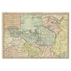
18th Century Hand-Colored Antique Map of Tartary and Northern India

18th Century Hand-Colored Antique Map of Tartary and Northern India

Located in Langweer, NL

The antique map titled "Carte de la partie meridionale de la tartarie avec la p.tie septentrionale de l'nde" was crafted by Louis Brion de la Tour, a prominent French cartographer, a...

Category

Antique 1780s French Prints

Materials

Paper

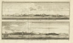
Antique Print of Zihuatanejo and the Harbour of Acapulco by Anson '1749'

Antique Print of Zihuatanejo and the Harbour of Acapulco by Anson '1749'

Located in Langweer, NL

Antique print titled 'Vue de l'entree de Chequetan ou Seguataneo, restant au N.E. a la distance de 5 milles.' 'Vue de l'entree du port d'Acapulco.' View of Zihuatanejo and the harbou...

Category

Antique Mid-18th Century Prints

Materials

Paper

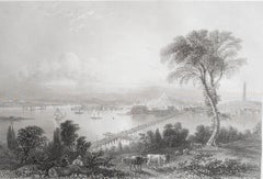
Original Antique Print of Boston, Massachusetts, circa 1850

Original Antique Print of Boston, Massachusetts, circa 1850

Located in St Annes, Lancashire

Great print of Boston Steel engraving after the original drawing by W.H Bartlett Published circa 1850 Unframed.   

Category

Antique 1850s English Other Prints

Materials

Paper
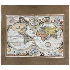
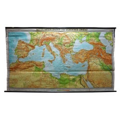
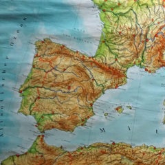
Vintage Mural Map Mediterranean Sea Near East Countries Rollable Wall Chart

Vintage Mural Map Mediterranean Sea Near East Countries Rollable Wall Chart

Located in Berghuelen, DE

A large countrycore pull-down map showing the countries surrounding the Mediterranean Sea, published by Westermann. Colorful print on paper reinforced with canvas. Measurements: Width 269 cm (105.91 inch) Height 149 cm (58.66 inch) The measurements shown refer just to the canvas and do not include the poles. Background information on the history of school wall charts: The idea to upgrade every day school life by using pictures...

Category

Vintage 1970s German Country Prints

Materials

Canvas, Wood, Paper

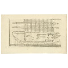
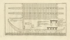
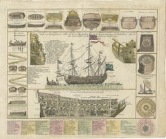
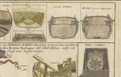
Detailed 1730 Maritime Warship Print with Tools, Rigging, and Ship Cross-Section

Detailed 1730 Maritime Warship Print with Tools, Rigging, and Ship Cross-Section

Located in Langweer, NL

Title: Detailed 1730 Maritime Warship Print with Tools, Rigging, and Ship Cross-Section Description: This exceptionally detailed and decorative maritime print, published in Nurember...

Category

Antique 1730s German Prints

Materials

Paper
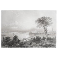
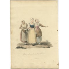
Antique Print of Girls of the Neighbourhood of Valenciennes in Spain, 1817

Antique Print of Girls of the Neighbourhood of Valenciennes in Spain, 1817

Located in Langweer, NL

Antique costume print titled 'Girls of the neighbourhood of Valenciennes'. Old costume print depicting girls of the neighbourhood of Valenciennes. This print originates from 'The Cos...

Category

Antique 19th Century Prints

Materials

Paper
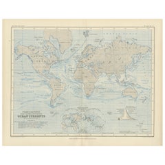
World Map of Ocean Currents by A.K. Johnston, Educational Print 1852

World Map of Ocean Currents by A.K. Johnston, Educational Print 1852

Located in Langweer, NL

World Map of Ocean Currents by A.K. Johnston, Educational Print 1852 This detailed and scientifically rich chart titled 'Chart of the World Showing the Form & Direction of the Ocean...

Category

Antique Mid-19th Century Scottish Prints

Materials

Paper
Antique Print of Gibraltar, Spanish Colony in Europe 1858

Antique Print of Gibraltar, Spanish Colony in Europe 1858

Located in Langweer, NL

Antique print titled 'Gibraltar from the Sea'. Original antique print with a view of Gibraltar. This print originates from 'The History Of The War With Russia: Giving Full Details Of...

Category

Antique 19th Century Prints

Materials

Paper
Antique Print of Loango, Africa by J. Van Schley, 1750

Antique Print of Loango, Africa by J. Van Schley, 1750

By Jakob van der Schley

Located in Langweer, NL

Antiuqe print titled 'Cité de Loango, tirée de Dapper'. Original old print of the city of Buali or Mbanza Loango. This bird's-eye view of Loango is based on the print published in 'N...

Category

Antique Mid-18th Century Prints

Materials

Paper
Antique Print of the Coracora Fleet by Valentijn, 1726

Antique Print of the Coracora Fleet by Valentijn, 1726

By F. Valentijn

Located in Langweer, NL

Antique print titled 'De Cora-Cora van Titaway'. This is an original copper engraving of the Coracora fleet from Titaway. This print originates from 'Oud en Nieuw Oost-Indiën' by F. ...

Category

Antique Early 18th Century Dutch Prints

Materials

Paper
Antique Print of Canoes of Unalaska by Cook, 1803

Antique Print of Canoes of Unalaska by Cook, 1803

By James Cook

Located in Langweer, NL

Antique print Alaska titled 'Kanos van Oonalashka'. Antique print depicting two canoes of Unalaska. Originates from 'Reizen Rondom de Waereld door James Coo...

Category

Antique 19th Century Prints

Materials

Paper

Antique Print of an Encampment on Juan Fernández Island, Chile, 1748

Antique Print of an Encampment on Juan Fernández Island, Chile, 1748

Located in Langweer, NL

Antique print titled ‘Gezigt van de Plaats op ’t Eiland Juan Fernandes daar de Tent van den Kommandeur stont‘. View of an encampment on Juan Fernández island, Chile, with tents and E...

Category

Antique 18th Century Prints

Materials

Paper
Antique Print of Amsterdam Island in the Indian Ocean by Valentijn, 1726

Antique Print of Amsterdam Island in the Indian Ocean by Valentijn, 1726

Located in Langweer, NL

Antique print Indonesia titled 'T Eylant Amsterdam'. Two engravings on one sheet showing the native boats and peoples of Amsterdam Island in the Indian Ocean. Dutch (V.O.C.) sailing ...

Category

Antique 18th Century Prints

Materials

Paper
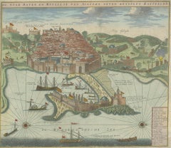
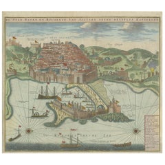
Antique Print of the Port and City of Algiers by Van Keulen, circa 1720

Antique Print of the Port and City of Algiers by Van Keulen, circa 1720

Located in Langweer, NL

Antique print titled 'De Stad Haven en Mouillie van Algiers neven desselfs Kastelen'. Rare double-page bird's-eye view of the port and city of Algiers. With detailed key in the lower right corner. Published by G. van Keulen...

Category

Antique Early 18th Century Dutch Prints

Materials

Paper
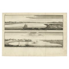
Antique Print with Views of San Julian, Patagonia, Argentina, 1765

Antique Print with Views of San Julian, Patagonia, Argentina, 1765

Located in Langweer, NL

Antique print titled 'De rivier van St. Juliaan (..) - De haven van Sint Juliaan (..)'. Views of San Julian, Patagonia, Argentina. This print originates from 'Reize Rondsom De Werrel...

Category

Antique 18th Century Prints

Materials

Paper
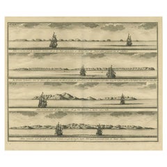
Antique Print of the Islands of Marken, New Ireland & Others, 1726

Antique Print of the Islands of Marken, New Ireland & Others, 1726

Located in Langweer, NL

Antique print titled 'De Kust van Nova Guinea tot aan deze bogt (..)'. Four engravings on one sheet showing panoramic views of the islands of Marken, the Groene islands, Sint Jans island and New Ireland...

Category

Antique 18th Century Prints

Materials

Paper
Antique Print of Fort Tantumquery, Ghana, 1748

Antique Print of Fort Tantumquery, Ghana, 1748

By Jakob van der Schley

Located in Langweer, NL

Antique print titled 'Vue Sud du Fort de Tantumquerri - Zuidgezigt van 't Fort van Tantumquerri'. View of Fort Tantumquerry. Fort Tantumquery is a military structure designed to faci...

Category

Antique 18th Century Prints

Materials

Paper
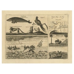
Antique Print with Various Creatures from A Travel Account, 1744

Antique Print with Various Creatures from A Travel Account, 1744

Located in Langweer, NL

Description: Antique print, titled: 'Papo's Bay (…).' - This plate shows five panels with various creatures (parakeet, sea cow, monkeys), a small map of Papo’s Bay at Tary (Cayenne?)...

Category

Antique 1740s Prints

Materials

Paper

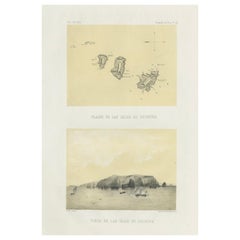
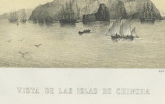
Chincha Islands Antique Lithograph 1865 – Map & Coastal Scene, Peru

Chincha Islands Antique Lithograph 1865 – Map & Coastal Scene, Peru

Located in Langweer, NL

Antique lithograph map and view of the Chincha Islands, Peru – 1865 This lithograph sheet presents both a map (Plano de las Islas de Chincha) and a coastal view (Vista de las Islas ...

Category

Antique 1860s French Prints

Materials

Paper

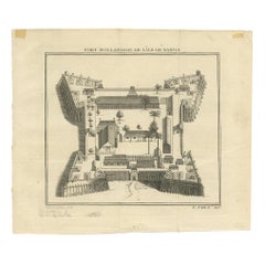
Antique Print of the Dutch Fort on Banda by Tardieu 'circa 1750'

Antique Print of the Dutch Fort on Banda by Tardieu 'circa 1750'

Located in Langweer, NL

Antique print titled 'Fort Hollandois de l'Ile de Banda'. Engraving of the Dutch VOC fortress Nassau, on Banda Neira, Indonesia. This print originates from '...

Category

Antique Mid-18th Century Prints

Materials

Paper

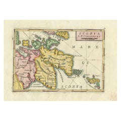
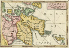
Scozia – Antique Map of Scotland by Coronelli, circa 1690

Scozia – Antique Map of Scotland by Coronelli, circa 1690

Located in Langweer, NL

Map of Scotland by Coronelli, c.1690 – “Scozia A.P. Coronelli” This finely engraved and hand-colored map depicts Scotland, titled Scozia A.P. Coronelli, produced by the renowned Ven...

Category

Antique Late 17th Century Italian Prints

Materials

Paper
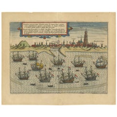
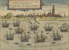
Antique Print of the Town of Duinkerken ‘France’ by L. Guicciardini, 1613

Antique Print of the Town of Duinkerken ‘France’ by L. Guicciardini, 1613

Located in Langweer, NL

Beautiful bird's eye-view plan of the town of Duinkerken. From Ludovico Guicciardini.'s description of the Netherlands 'Beschrijvinghe van alle de Nederlanden anderssins ghenoemt Ned...

Category

Antique Early 17th Century Prints

Materials

Paper

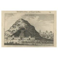
Antique Print of Graves Near the City of Nanjing in China, 1665

Antique Print of Graves Near the City of Nanjing in China, 1665

Located in Langweer, NL

Antique print titled 'Graf-Steden'. Old print depicting graves near the city of Nanjing, China. This print originates from 'Het gezantschap der Nee^rlandtsche Oost-Indische Compagnie...

Category

Antique 17th Century Prints

Materials

Paper

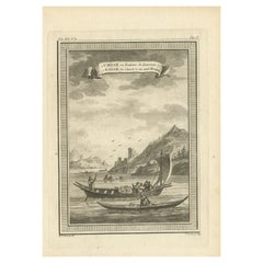
Antique Print of a Woman's Boat Know as Imiak and a Kayak for Men, 1770

Antique Print of a Woman's Boat Know as Imiak and a Kayak for Men, 1770

By Prevost

Located in Langweer, NL

Antique print titled '1. Umiak ou Bateau de Femmes 2. Kaiak ou Canot à un seul Homme'. Copper engraving of an Umiak or women's boat and a one man kayak or canoe. This print originate...

Category

Antique 18th Century Prints

Materials

Paper

Antique Print of a Street in Nanjing, China, 1665

Antique Print of a Street in Nanjing, China, 1665

Located in Langweer, NL

Antique print titled 'Straet van Nanking'. Old print depicting a street in Nanjing, China. This print originates from 'Het gezantschap der Neêrlandtsche Oost-Indische Compagnie, aan ...

Category

Antique 17th Century Prints

Materials

Paper

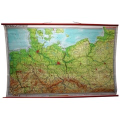
Vintage Rollable Map Northern Germany Poland Seaside Wallchart Baltic Sea

Vintage Rollable Map Northern Germany Poland Seaside Wallchart Baltic Sea

Located in Berghuelen, DE

The large impressive cottagecore pull-down map illustrates Northern Germany, Poland and parts of the Baltic Sea. It was published by Westermann-Schulwandkar...

Category

Late 20th Century German Country Prints

Materials

Canvas, Wood, Paper

Pair of Prints Depicting Antique World Maps Framed in Burl Wood

Pair of Prints Depicting Antique World Maps Framed in Burl Wood

Located in Dallas, TX

A pair of prints depicting antique world maps framed in burl wood. One picture contains a depiction of Africa, Europe, and Oceania. The other picture is of North and South America. T...

Category

20th Century American Prints

Materials

Paper
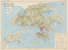
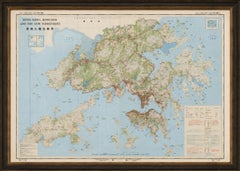
Large Two-Sheet Map of Hong Kong, Kowloon and the New Territories, 1975

Large Two-Sheet Map of Hong Kong, Kowloon and the New Territories, 1975

Located in Langweer, NL

TITLE: Large Two-Sheet Map of Hong Kong, Kowloon and the New Territories, 1975 DESCRIPTION: An impressive and highly detailed large-format map of Hong Kong, Kowloon and the New Terr...

Category

Vintage 1970s Hong Kong Mid-Century Modern Prints

Materials

Paper

Antique Map of Samboepo by Valentijn, 1726

Antique Map of Samboepo by Valentijn, 1726

By F. Valentijn

Located in Langweer, NL

Antique map titled 'Samboepo in 't Verschiet'. Decorative panoramic view of the town of Samboupo on the island of Celebes (Sulawesi) in today's Indonesia. Dutch (V.O.C.) sailing ship...

Category

Antique Early 18th Century Dutch Prints

Materials

Paper
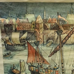
Harbour of a Trade City Hanseatic Port Rollable Vintage Wallchart

Harbour of a Trade City Hanseatic Port Rollable Vintage Wallchart

Located in Berghuelen, DE

The maritime look vintage pull-down wall chart shows the historical picture of a port of an ancient trading city, published by Verlag Dr. te. Neues & Co., GmbH. Colorful print on...

Category

Vintage 1970s German Country Prints

Materials

Canvas, Wood, Paper

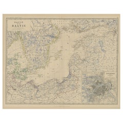
Old Map of the the Baltic Sea Region, Inset of St. Petersburg, 1882

Old Map of the the Baltic Sea Region, Inset of St. Petersburg, 1882

Located in Langweer, NL

Description: antique map titled 'Basin of the Baltic'. Old map of the regiona round the Baltic Sea. Includes an inset map of St. Petersburg. This map originates from 'The Royal Atlas...

Category

Antique 1880s Prints

Materials

Paper
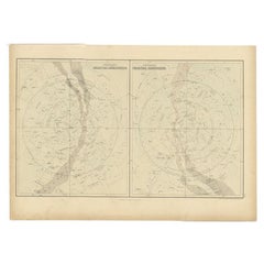
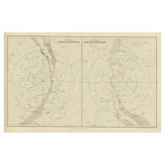
Antique Print of Celestial Hemispheres, 1854

Antique Print of Celestial Hemispheres, 1854

Located in Langweer, NL

Antique world map titled 'Northern Celestial Hemisphere - Southern Celestial Hemisphere'. Old map with two charts of the celestial hemispheres. This map orginates from 'General Atlas...

Category

Antique 19th Century English Prints

Materials

Paper
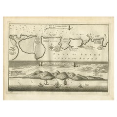
Antique Map and View of the Bay of Sierra Leone in Africa, C.1750

Antique Map and View of the Bay of Sierra Leone in Africa, C.1750

Located in Langweer, NL

Antique print titled 'Baye de Sierra Leona (..) - Baai van Sierra Leona (..)'. Map and view of the bay of Sierra Leone. This print originates from 'Historische beschryving der Reizen...

Category

Antique 18th Century Prints

Materials

Paper

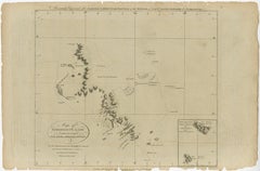
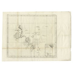
Antique Map of Kerguelens Island Coast by Cook, 1784

Antique Map of Kerguelens Island Coast by Cook, 1784

By James Cook

Located in Langweer, NL

Antique print titled 'Kerguelen's Land (..)'. Antique map of Kerguelens island coast, known today as the Desolation islands. Originates from 'A Voyage to the Pacific Ocean: Undertaken, by the Command of His Majesty, for Making Discoveries in the Northern Hemisphere (..)' published in Dublin. Artists and Engravers: James Cook...

Category

Antique 18th Century Prints

Materials

Paper
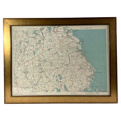
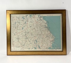
1891 Map of South Shore of Boston

1891 Map of South Shore of Boston

Located in Norwell, MA

Original 1891 map showing Cohasset, Scituate, Marshfield, Duxbury, Kingston, Norwell, Hanover, Hingham, Hull, Holbrook, Weymouth, Hanson, Pembroke, etc. Framed with glass. Circa 1891.

Category

Antique 1890s North American Prints

Materials

Paper
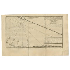
Antique Map of the Coast of Acapulco by Anson, 1749

Antique Map of the Coast of Acapulco by Anson, 1749

Located in Langweer, NL

Antique map titled 'Disposition des Vaisseaux de l'Escadre commandée par Mr. Anson croisant vis à vis d'Acapulco en 1742'. This map depicts the coast of Acapulco in Mexico with a decorative cartouche and windrose. Acapulco and its port were important to the mission of Commodore George Anson, who captured a Spanish treasure...

Category

Antique Mid-18th Century Prints

Materials

Paper
Antique Print of Bamburgh Castle in England, c.1875

Antique Print of Bamburgh Castle in England, c.1875

Located in Langweer, NL

Antique print titled 'Bamborough Castle'. Steel engraved view of Bamburg Castle. Bamburgh Castle is a castle on the northeast coast of England, by the village of Bamburgh in Northumb...

Category

Antique 19th Century Prints

Materials

Paper
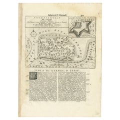
Antique Map of the Island of Djerba by Coronelli '1691'

Antique Map of the Island of Djerba by Coronelli '1691'

Located in Langweer, NL

Antique map titled 'Isola e Castello di Gerbi'. Original antique map of the Island of Djerba, Tunisia, in Africa. Includes an inset of the Djerba Castle in upper right. This map orig...

Category

Antique Late 17th Century Prints

Materials

Paper
Deyrolle Prints, Paris, Animal, Fauna and Flora

Deyrolle Prints, Paris, Animal, Fauna and Flora

By Deyrolle

Located in Riverdale, NY

A lovely selection of Deyrolle, Paris prints ready to be matted and mounted. Sold individually with various subjects. These were purchased in the 1960's in Paris and were then stored...

Category

Vintage 1960s French Prints

Materials

Paper

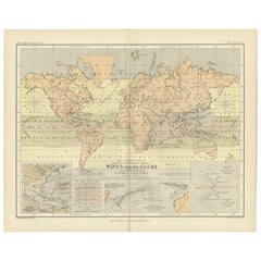
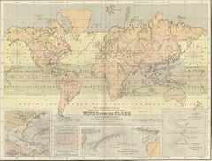
Wind and Hurricane Map by A.K. Johnston – Meteorological Chart 1852

Wind and Hurricane Map by A.K. Johnston – Meteorological Chart 1852

Located in Langweer, NL

Wind and Hurricane Map by A.K. Johnston – Meteorological Chart 1852 This scientifically significant 1852 map titled "The Distribution of the Constant, Periodical & Variable Winds Ov...

Category

Antique Mid-19th Century Scottish Prints

Materials

Paper

Antique Print of Gripsholm Castle in Stockholm, Sweden, c.1864

Antique Print of Gripsholm Castle in Stockholm, Sweden, c.1864

Located in Langweer, NL

This antique print features a picturesque view of Gripsholm Castle, a historic and well-preserved castle located in Mariefred, Södermanland, Sweden. The castle is set against a seren...

Category

Antique 19th Century Prints

Materials

Paper

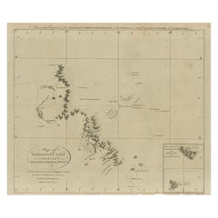
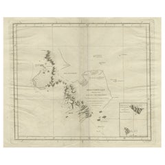
Map of Kerguelen’s Land: The Island of Desolation Explored by Captain Cook

Map of Kerguelen’s Land: The Island of Desolation Explored by Captain Cook

Located in Langweer, NL

This map is titled "Map of Kerguelen’s Land, called by Cook Island of Desolation." It represents the geographic layout of Kerguelen Island, also known as the Island of Desolation, lo...

Category

Antique 1780s Prints

Materials

Paper
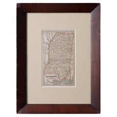
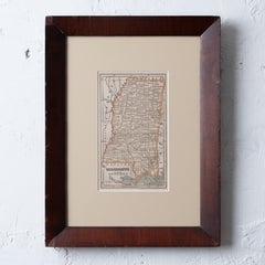
Map of Mississippi from Fanning's Illustrated Gazetteer, 1853

Map of Mississippi from Fanning's Illustrated Gazetteer, 1853

Located in Savannah, GA

A map of Mississippi from Fanning’s Illustrated Gazetteer, 1853. sight: 5 by 8 ½ inches frame: 12 ½ by 16 ½ inches

Category

Antique 1850s American Prints

Materials

Glass, Wood, Paper

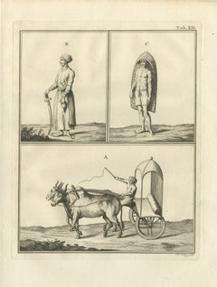
An Ox Carriage and Two Standing Figures, Antique Niebuhr Print, 1780

An Ox Carriage and Two Standing Figures, Antique Niebuhr Print, 1780

Located in Langweer, NL

This is an original antique copper engraving from 1780, plate XII of the second volume of Carsten Niebuhr's travels. The plate carries no caption; its three scenes are keyed only by ...

Category

Antique Late 18th Century Dutch Prints

Materials

Paper

Antique Plan of Britannia 'Cross Section' by Cook, 1803

Antique Plan of Britannia 'Cross Section' by Cook, 1803

Located in Langweer, NL

Antique print titled 'Tekening, Plan en Doorsnede van de Britannia (..)'. This print depicts the the Tahiti war Canoe, double connected with beams and bonded with coconut ropes. Orig...

Category

Antique Early 19th Century Dutch Prints

Materials

Paper

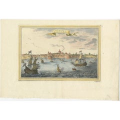
Nicely Colored Antique Print of Surat in India, 1751

Nicely Colored Antique Print of Surat in India, 1751

Located in Langweer, NL

Antique print titled 'Vuë de Surate du côté de la Riviere'. View of Surat, a city in the state of Gujarat, India. This print originates from 'Histoire générale des voyages' by A. Pré...

Category

Antique 18th Century Prints

Materials

Paper

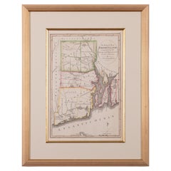
The State of Rhode Island Map - Caleb Harris & Harding Harris, 1818

The State of Rhode Island Map - Caleb Harris & Harding Harris, 1818

Located in Savannah, GA

Mathew Carey (American/Philadelphia, 1760-1839) The State of Rhode Island compiled from the surveys and observations of Caleb Harris by Harding Harris. Engraving with hand-coloring...

Category

Antique 1810s American Other Prints

Materials

Glass, Wood, Paper
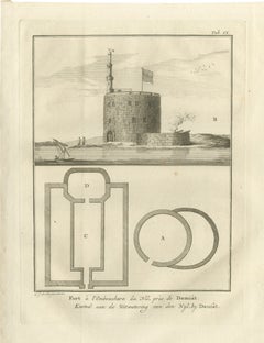
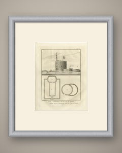
Fort at the Mouth of the Nile near Damietta, Antique Print, 1776

Fort at the Mouth of the Nile near Damietta, Antique Print, 1776

Located in Langweer, NL

This is an original antique copper engraving from 1776, showing a fort at the mouth of the Nile near Damietta in view and plan. The caption reads first in French Fort à l'Embouchure ...

Category

Antique Late 18th Century Dutch Prints

Materials

Paper
Antique Map of Kerguelens Island Coast in the Indian Ocean by Cook, 1785

Antique Map of Kerguelens Island Coast in the Indian Ocean by Cook, 1785

By James Cook

Located in Langweer, NL

Antique print titled 'Kerguelen's Land (..)'. Antique map of Kerguelens island coast, known today as the Desolation islands. Originates from 'Voyage to the Pacific Ocean, undertaken ...

Category

Antique 18th Century Prints

Materials

Paper

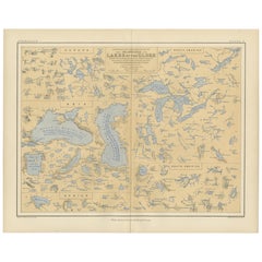
Map of the Lakes of the Globe 1856 – Comparative Chart of Inland Seas

Map of the Lakes of the Globe 1856 – Comparative Chart of Inland Seas

Located in Langweer, NL

Map of the Lakes of the Globe 1856 – Comparative Chart of Inland Seas Description: This remarkable 19th-century comparative chart is titled Comparative Form and Extent of the Inland...

Category

Antique Mid-19th Century Scottish Prints

Materials

Paper