Want more images or videos?
Request additional images or videos from the seller.

John Senex
Map of Asia

1710

$5,499.73
£4,000
€4,765.20
CA$7,663.11
A$7,719.56
CHF 4,502.98
MX$94,247.01
NOK 51,375.79
SEK 53,772.22
DKK 35,622.67

About the Item

Asia SENEX, John. Asia Corrected from the Observations communicated to the Royal Society at London and the Royal Academy at Paris. By John Senex F.R.S. To The Honorable Sr. George Markham. Baronet. This Map is Dedicated by his humble Obedient Serv[an]t John Senex. John Senex, at the Globe against St Dunstans Church, Fleetstreet, London 1710 [-1728]. John Senex (1678-1740) was one of the foremost mapmakers in England in the early eighteenth century. He was also a surveyor, globemaker, and geographer. As a young man, he was apprenticed to Robert Clavell, a bookseller. He worked with several mapmakers over the course of his career, including Jeremiah Seller and Charles Price. In 1728, Senex was elected as a Fellow of the Royal Society, a rarity for mapmakers. The Fellowship reflects his career-long association as engraver to the Society and publisher of maps by Edmund Halley, among other luminaries. He is best known for his English Atlas (1714), which remained in print until the 1760s. After his death in 1740 his widow, Mary, carried on the business until 1755. Thereafter, his stock was acquired by William Herbert and Robert Sayer (maps) and James Ferguson (globes). Double-page engraved map on 2 sheets joined, with full contemporary hand-colouring, size: 660 mm by 960 mm, sheet size: 680 by 1002 mm. Some light soiling.
  • Creator:
  • Creation Year:
    1710
  • Dimensions:
    Height: 26.78 in (68 cm)Width: 40.16 in (102 cm)
  • Medium:
  • Movement & Style:
  • Period:
    1710-1719
  • Condition:
  • Gallery Location:
    London, GB
  • Reference Number:
    Seller: 1084871stDibs: LU1419217376172

More From This Seller

View All
South America

South America

By John Senex

Located in London, London

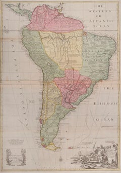
South America SENEX, John. South America Corrected from the Observations Communicated to the Royal Society’s of London & Paris. By John Senex. To Edmund Halley. LLD. Savilian Professor of Geometry in Oxford and Fellow of the Royal Society. This Map corrected from His own Discoveries In gratefull Acknowledgement of his Ready assistance to Encourage this Designe is Humbly Dedicated. John Senex, at the Globe against St Dunstans Church, Fleetstreet, London 1710 [-1728]. John Senex (1678-1740) was one of the foremost mapmakers in England in the early eighteenth century. He was also a surveyor, globemaker, and geographer. As a young man, he was apprenticed to Robert Clavell, a bookseller. He worked with several mapmakers over the course of his career, including Jeremiah Seller and Charles...

Category

1710s Naturalistic More Art

Materials

Watercolor, Engraving

Great Britain

Great Britain

By John Senex

Located in London, London

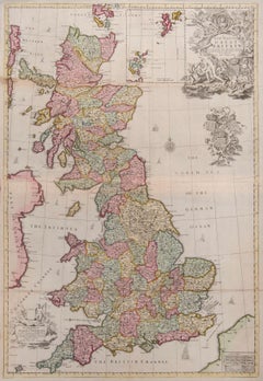
Great Britain SENEX, John. A New Map of Great Britain Corrected from the Observations communicated to the Royal Society at London. By John Senex F.R.S. To the Right Hono[ra]ble William Connelly ESQ. One of the Commissioners of His Maj[es]ties Revenue, Speakerof the Hono[a]ble House of Commons, and one of His Maj[es]ties most Hono[ra]ble Privy Council for Ye Kingdom of Ireland. This Map is dedicated by John Senex. John Senex F.R.S. 1710 [-1728]. John Senex (1678-1740) was one of the foremost mapmakers in England in the early eighteenth century. He was also a surveyor, globemaker, and geographer. As a young man, he was apprenticed to Robert Clavell, a bookseller. He worked with several mapmakers over the course of his career, including Jeremiah Seller and Charles Price...

Category

1710s Naturalistic More Art

Materials

Watercolor, Engraving

Chinese Craft on the Pearl River.

Chinese Craft on the Pearl River.

Located in London, London

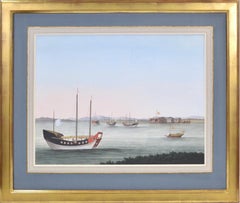
[CHINESE SCHOOL]. Chinese Craft on the Pearl River. Canton, circa 1810. A pencil, water colour and body colour drawing of craft, heightened with white on paper watermarked ‘J Whatm...

Category

1810s Naturalistic Landscape Drawings and Watercolors

Materials

Watercolor

[CHINESE SCHOOL]. Two Watercolour Scenes.

[CHINESE SCHOOL]. Two Watercolour Scenes.

By 19th Century Chinese school

Located in London, London

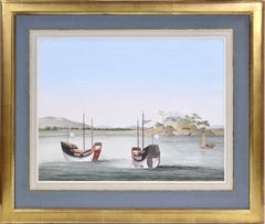
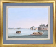
[CHINESE SCHOOL]. Two Watercolour Scenes. Possibly Canton ca.1820]. Very impressive large scale watercolours of Chinese scenes, presumably executed for the Western market by an an...

Category

1820s Naturalistic Landscape Drawings and Watercolors

Materials

Watercolor

Chinese Craft on the Pearl River.

Chinese Craft on the Pearl River.

Located in London, London

[CHINESE SCHOOL]. Chinese Craft on the Pearl River. Canton, circa 1810. A pencil, water colour and body colour drawing of craft, heightened with white on paper watermarked ‘J Whatm...

Category

1810s Other Art Style Landscape Drawings and Watercolors

Materials

Watercolor

Chinese Craft on the Pearl River.

Chinese Craft on the Pearl River.

Located in London, London

[CHINESE SCHOOL]. Chinese Craft on the Pearl River. Canton, circa 1810. Pencil, water colour and body colour drawings of craft, heightened with white on paper watermarked ‘J Whatm...

Category

1810s Naturalistic Landscape Drawings and Watercolors

Materials

Watercolor

You May Also Like

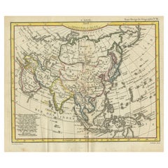
Antique Map of Asia from the Middle East to the Coast of Alaska, 1816

Antique Map of Asia from the Middle East to the Coast of Alaska, 1816

Located in Langweer, NL

Antique map titled ‘L’Asie‘. This is an original antique map of Asia, by Hérisson, taken from atlas ""Nouv. Abrége de Géographie"". An engraved map with coloring of Asia from the Mid...

Category

Antique 19th Century Maps

Materials

Paper

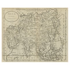
Antique Map of Asia by Guthrie, 1787

Antique Map of Asia by Guthrie, 1787

Located in Langweer, NL

Antique map titled 'Asia from the best Authorities'. Old map of the Asian continent. This map originates from 'A New Geographical, Historical and Commercial Grammar; and Present State of the several Kingdoms of the World' 10th ed. by W. Guthrie. Artists and Engravers: Published by Ch.Dilly; GGJ...

Category

Antique 18th Century Maps

Materials

Paper

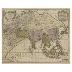
Large Antique Map of Asia including All of Southeast Asia, c.1792

Large Antique Map of Asia including All of Southeast Asia, c.1792

Located in Langweer, NL

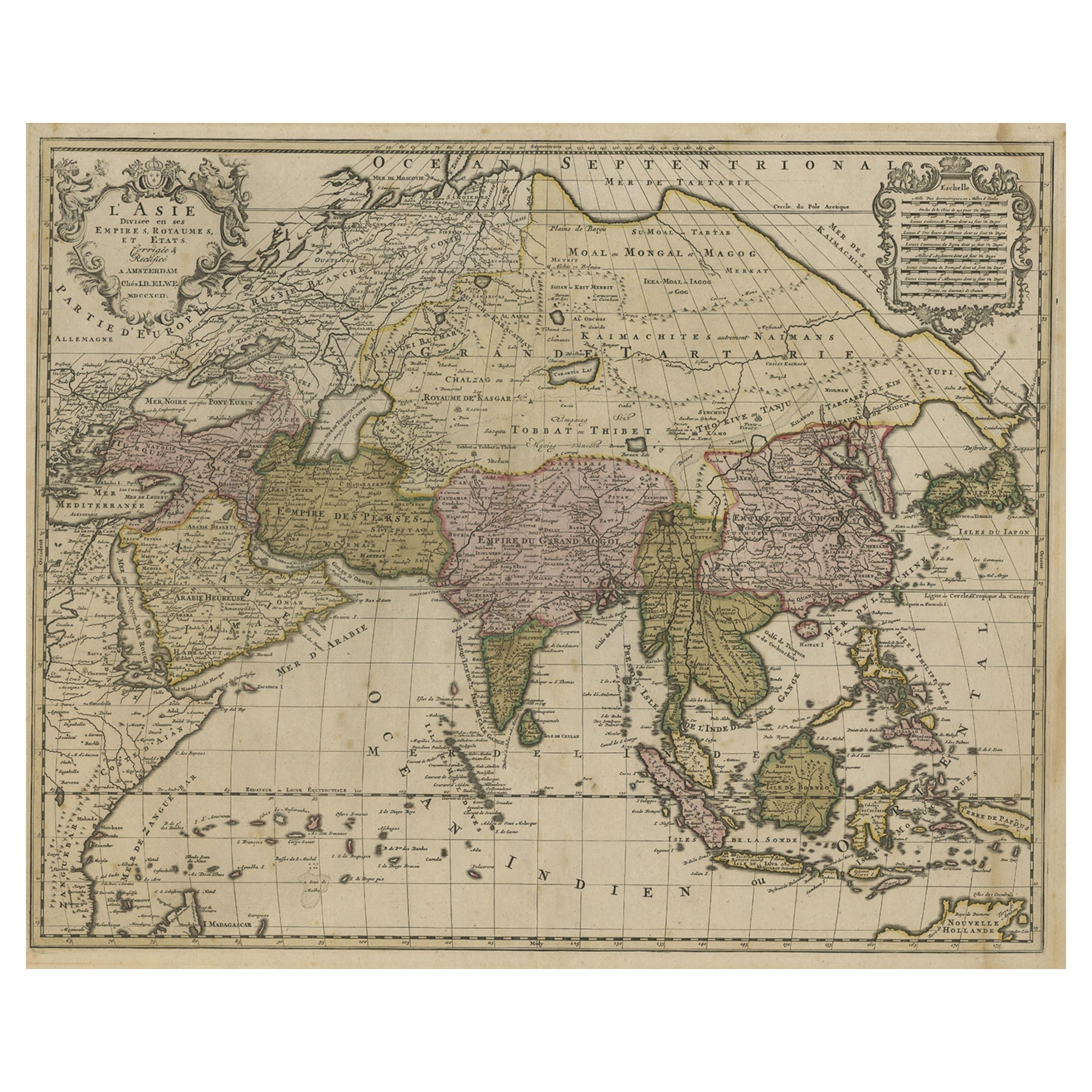
Antique map titled 'L' Asie Divisee en ses Empires, Royaumes, et Etats'. Attractive, large map of Asia including all of Southeast Asia. The cartography is archaic for the period with...

Category

Antique 18th Century Maps

Materials

Paper

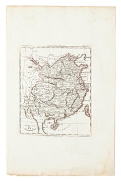
Map of China - Etching - 19th Century

Map of China - Etching - 19th Century

Located in Roma, IT

This map of China is an etching realized in 19th century. The state of preservation of the artwork is excellent. At the top of the paper, the inscription...

Category

19th Century Figurative Prints

Materials

Etching

Antique Map of Asia by Dussy, 1778

Antique Map of Asia by Dussy, 1778

Located in Langweer, NL

Antique map of Asia titled 'Indostan presqu'isles de l'Inde, Chine, Tartarie Independante'. Depicting South-East Asia including Hindustan, India an...

Category

Antique Late 18th Century French Maps

Materials

Paper

Antique Map of Asia by Mentelle, 1819

Antique Map of Asia by Mentelle, 1819

Located in Langweer, NL

Antique map titled 'Carte générale et Politique de l'Asie'. Detailed map of Asia. Includes a nice early depiction of Australia (Nouvelle Hollande), including its unknown and conjectu...

Category

Antique Early 19th Century French Maps

Materials

Paper