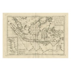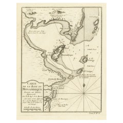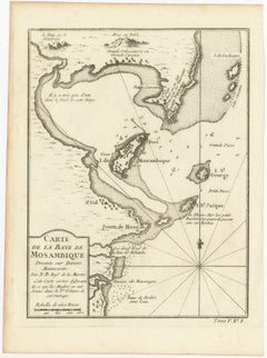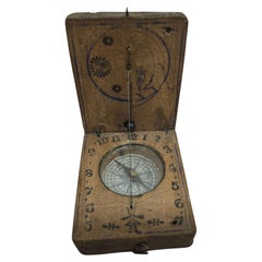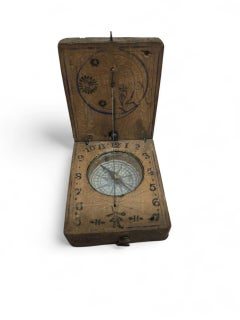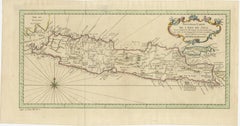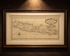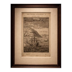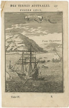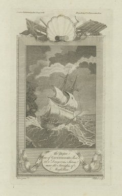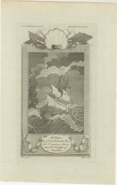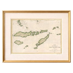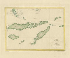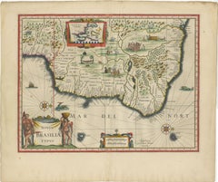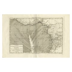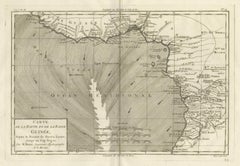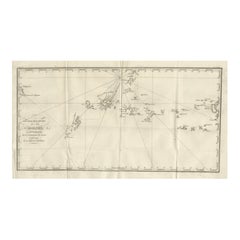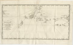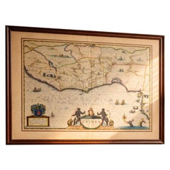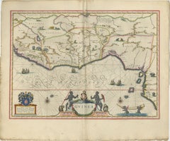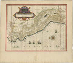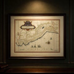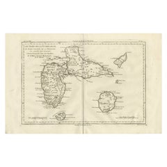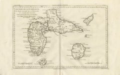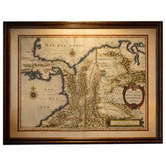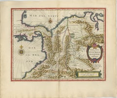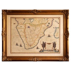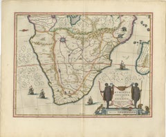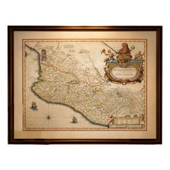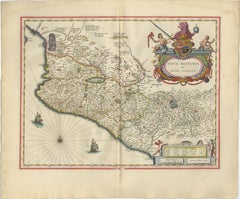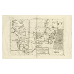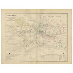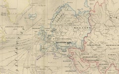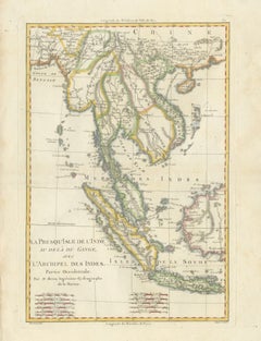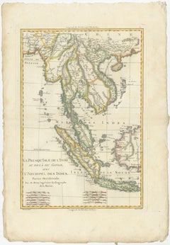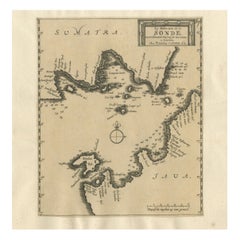
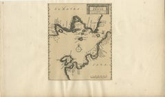
Sunda Strait Sea Chart, Sumatra and Java, Dutch Engraving c.1700
Located in Langweer, NL
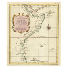
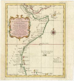
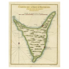
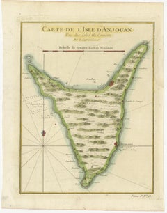
These details underline the map’s practical function for navigation, particularly for Dutch East India Company traffic moving between the Indian Ocean and the trading centers of Java...
Category
Early 18th Century Dutch Antique Navigation
Materials
Paper