Arabian Antique

to
82
304
109
219
130
83
80
80
80
63
39
28
22
21
20
19
17
14
13
13
10
9
9
8
7
6
5
4
4
3
3
3
3
3
3
3
2
2
2
2
2
2
1
1
1
1
1
18
4
3
2
2
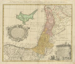
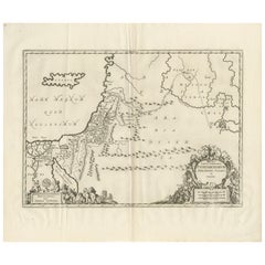
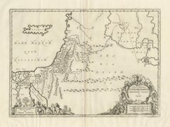
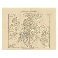
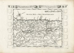
Antique Map of the Holy Land Palestine & Jerusalem, Elias Baeck ca. 1700

Antique Map of the Holy Land Palestine & Jerusalem, Elias Baeck ca. 1700

Located in Langweer, NL

This finely detailed copperplate engraving depicts biblical Palestine and the tribal divisions of ancient Israel, extending from the Mediterranean coast and Jerusalem eastward toward...

Category

Early 18th Century German Arabian Antique

Materials

Paper
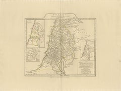
17th Century Holy Land Map “Palestina” with German Biblical Text, c.1650

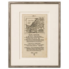
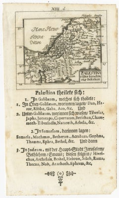
17th Century Holy Land Map “Palestina” with German Biblical Text, c.1650

Located in Langweer, NL

The map depicts the ancient regions of Palestine, including Galilee, Samaria, Judea, Arabia, the Jordan River, and the Dead Sea, while identifying numerous biblical cities and sacred...

Category

Mid-17th Century German Arabian Antique

Materials

Paper
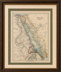
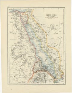
Red Sea Map by W. & A.K. Johnston, Edinburgh & London, c.1895

Red Sea Map by W. & A.K. Johnston, Edinburgh & London, c.1895

Located in Langweer, NL

Surrounding territories include Egypt, Sudan, Eritrea, Abyssinia (Ethiopia), Arabia, and portions of the western Arabian Peninsula including Mecca and Medina.

Category

Late 19th Century British Arabian Antique

Materials

Paper

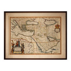
Blaeu Ottoman Empire Map, Turcicum Imperium, Figural Cartouche, 1642

Blaeu Ottoman Empire Map, Turcicum Imperium, Figural Cartouche, 1642

Located in Langweer, NL

Centered on the eastern Mediterranean and the Arabian Peninsula, the map illustrates the vast reach of the Ottoman world—from the Balkans and Greece through Anatolia and the Levant, ...

Category

Mid-17th Century Dutch Arabian Antique

Materials

Paper

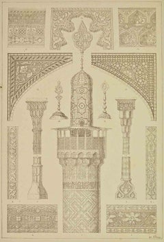
Persian Architecture - Lithograph - 19th Century

Persian Architecture - Lithograph - 19th Century

Located in Roma, IT

Persian Architecture is an artwork realized in 19th century by the Arabian school. Lithograph on paper. The artwork represents the decorative patterns of Persian Architecture.

Category

19th Century Surrealist Arabian Antique

Materials

Lithograph

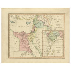
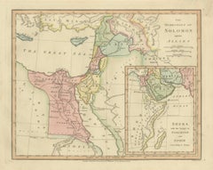
The Dominions of Solomon — Biblical Map of the Ancient Near East and Egypt, 1827

The Dominions of Solomon — Biblical Map of the Ancient Near East and Egypt, 1827

Located in Langweer, NL

The Holy Land occupies a central position, while surrounding regions such as Syria, Arabia, Chaldea, and Persia provide context for the international connections described in biblica...

Category

Early 19th Century British Arabian Antique

Materials

Paper

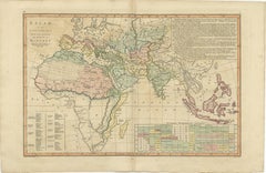
Islamic World Map with Africa, Middle East, India, Indies, Wilkinson 1817

Islamic World Map with Africa, Middle East, India, Indies, Wilkinson 1817

Located in Langweer, NL

It encompasses regions such as Barbary, Egypt, Arabia, Persia, Hindostan, and the Malay world, highlighting the immense geographic spread of Islamic civilization.

Category

Early 19th Century British Arabian Antique

Materials

Paper

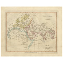
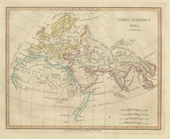
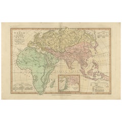
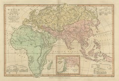
Terra Veteribus Nota — Classical World Map of Antiquity, Wilkinson 1814

Terra Veteribus Nota — Classical World Map of Antiquity, Wilkinson 1814

Located in Langweer, NL

The composition centers on Europe, North Africa, and Asia extending eastward toward India, Arabia, and parts of Central Asia. Regions such as Scythia, Persia, Arabia, Syria, Egypt, I...

Category

Early 19th Century British Arabian Antique

Materials

Paper

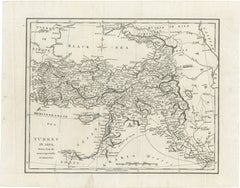
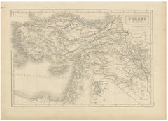
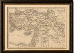
Antique Map of Turkey in Asia, Ottoman Empire Middle East, c. 1850

Antique Map of Turkey in Asia, Ottoman Empire Middle East, c. 1850

Located in Langweer, NL

The map covers Asia Minor (modern Turkey), Syria, Mesopotamia, Palestine, Armenia, Kurdistan, and parts of Arabia and Persia, extending from the Mediterranean coast to the regions su...

Category

Mid-19th Century British Arabian Antique

Materials

Paper

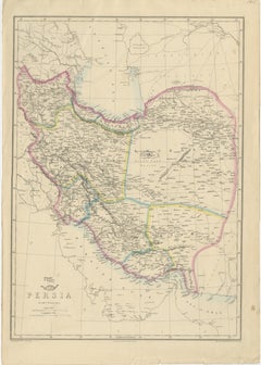
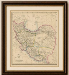
Antique Map of Persia Iran by Edward Weller for Weekly Dispatch Atlas, 1863

Antique Map of Persia Iran by Edward Weller for Weekly Dispatch Atlas, 1863

Located in Langweer, NL

This finely detailed mid-19th century map depicts Persia together with surrounding regions including Afghanistan, Beloochistan, Arabia, Independent Tartary, the Ottoman territories, ...

Category

Mid-19th Century British Arabian Antique

Materials

Paper

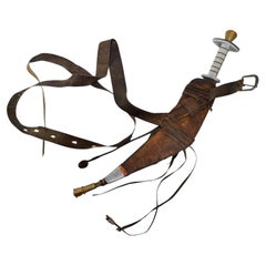
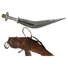
Ethiopian Afar “Jile” Short Sword Dagger with Sheath Horn of Africa 1920s

Ethiopian Afar “Jile” Short Sword Dagger with Sheath Horn of Africa 1920s

Located in Moreno Valley, CA

Both utilitarian and ceremonial, it stands as one of the most recognizable weapons of the region, related in form to the Arabian jambiya. Dimensions: Overall Length: 17.5" Blade Leng...

Category

Early 20th Century Ethiopian Islamic Arabian Antique

Materials

Metal, Brass

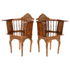
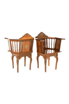
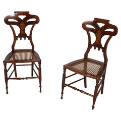
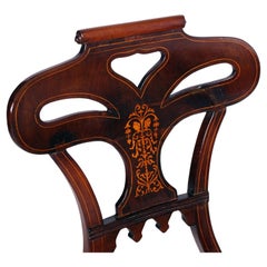
Pair Of Parquetry Middle Eastern Chairs

Pair Of Parquetry Middle Eastern Chairs

Located in Faversham, GB

An outstanding pair of Arabian chairs made from local specimen timber and bone.

Category

Early 20th Century Qatari Other Arabian Antique

Materials

Bone, Beech, Fruitwood

Johnny & An Old Hunter – Pair of Antique Sporting Horse Lithographs c.1840

Johnny & An Old Hunter – Pair of Antique Sporting Horse Lithographs c.1840

Located in Langweer, NL

Their elegant heads, long necks, and balanced proportions reflect the influence of the Arabian and Thoroughbred breeding traditions that transformed equestrian standards during the e...

Category

Mid-19th Century British Arabian Antique

Materials

Paper

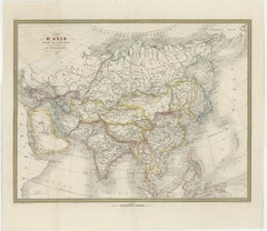
French Map of Asia by Cortambert – Russia, China & India, 1864

French Map of Asia by Cortambert – Russia, China & India, 1864

Located in Langweer, NL

This large-format map presents the vast Asian continent stretching from the Ottoman domains and Arabia to China, Japan, and the islands of Southeast Asia, with Siberia and the Russia...

Category

Mid-19th Century French Arabian Antique

Materials

Paper

Antique Map of the Ancient Persian Empire – Imperium Persicum, 1817

Antique Map of the Ancient Persian Empire – Imperium Persicum, 1817

Located in Langweer, NL

Prominent bodies of water are carefully engraved, including the Mediterranean Sea, the Black Sea (Pontus Euxinus), the Caspian Sea (Caspium Mare), and the Persian Gulf (Sinus Persicu...

Category

Early 19th Century British Arabian Antique

Materials

Paper

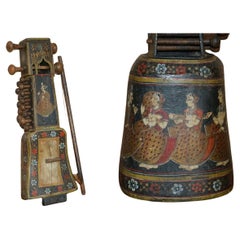
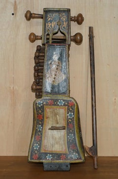
HAND PAiNTED ANTIQUE CIRCA 1860 INDIAN SINDHI SARANGI MUSICAL INSTRUMENT

HAND PAiNTED ANTIQUE CIRCA 1860 INDIAN SINDHI SARANGI MUSICAL INSTRUMENT

Located in West Sussex, Pulborough

Royal House Antiques Royal House Antiques is delighted to offer for sale this decorative hand painted mid 19th Century Circa 1860 Indian Sindhi Sarangi A very good looking well mad...

Category

1860s Indian Victorian Arabian Antique

Materials

Wood

Ancient Syria & Assyria Map — Biblical Near East, Wilkinson London 1815

Ancient Syria & Assyria Map — Biblical Near East, Wilkinson London 1815

Located in Langweer, NL

Desert regions labeled *Arabia Deserta* evoke the classical geographic understanding of the Near Eastern frontier.

Category

Early 19th Century British Arabian Antique

Materials

Paper

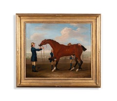
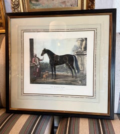
The Famous racehorse 'Flying Childers' held by a groom

The Famous racehorse 'Flying Childers' held by a groom

By Thomas Spencer

Located in Stoke, Hampshire

Flying Childers was sired by the Darley Arabian, one of the three foundation stallions of the modern Thoroughbred breed, and quickly earned an extraordinary reputation for both speed...

Category

18th Century Old Masters Arabian Antique

Materials

Oil

Biblical World Map of the Descendants of Noah — Wilkinson Atlas Classica, 1827

Biblical World Map of the Descendants of Noah — Wilkinson Atlas Classica, 1827

Located in Langweer, NL

Technique: Copperplate engraving with original hand color Maker: Wilkinson, London, 1827 Keyword block (important places and regions visible on the map): Europe, Asia, Africa, Medit...

Category

Early 19th Century British Arabian Antique

Materials

Paper

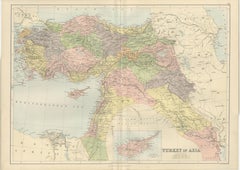
Antique Map Turkey in Asia, Ottoman Empire Anatolia Syria Iraq Black, 1884

Antique Map Turkey in Asia, Ottoman Empire Anatolia Syria Iraq Black, 1884

Located in Langweer, NL

These regions formed key administrative provinces of the Ottoman Empire and were vital corridors connecting Anatolia with Persia and the Arabian Peninsula. The composition also incl...

Category

Late 19th Century Scottish Arabian Antique

Materials

Paper

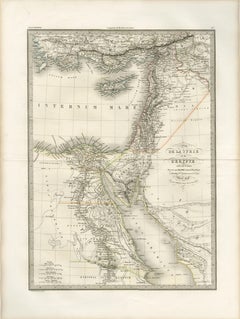
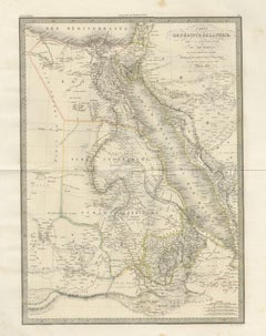
Antique Map of Syria, Egypt and the Nile Delta – Lapie, 1838

Antique Map of Syria, Egypt and the Nile Delta – Lapie, 1838

Located in Langweer, NL

Regions such as Palestine, Arabia Petraea, and parts of Mesopotamia are included, offering a broader Near Eastern context.

Category

Early 19th Century French Arabian Antique

Materials

Paper

Ottoman Empire Map — Turkey in Asia, Syria & Mesopotamia, c.1830

Ottoman Empire Map — Turkey in Asia, Syria & Mesopotamia, c.1830

Located in Langweer, NL

This map is particularly appealing for its breadth: Cyprus, the Levantine coast, the deserts of Arabia, and the fringes of Persia are all included within a single balanced composition.

Category

Early 19th Century British Arabian Antique

Materials

Paper

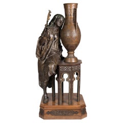
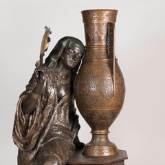
Louis Hottot Attributed Orientalist Spelter Figure of a Woman, Circa 1890

Louis Hottot Attributed Orientalist Spelter Figure of a Woman, Circa 1890

By Louis Hottot

Located in London, GB

A Lifesize Orientalist Sculpture Attributed to Louis Hottot Of spectacular scale, constructed from spelter and on a bronze-mounted veneered plinth, the striking orientalist figure o...

Category

19th Century French Arabian Antique

Materials

Spelter

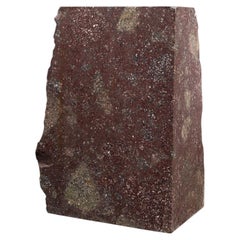
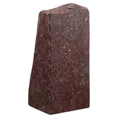
Large specimen of Imperial Egyptian Red Porphyry - Partially polished

Large specimen of Imperial Egyptian Red Porphyry - Partially polished

Located in Bruxelles, BE

The quarries, located in the stark isolation of the Eastern Egyptian Desert, were situated along caravan routes that connected the commercial hubs of the Nile Valley and Coptos with ...

Category

19th Century Italian Classical Roman Arabian Antique

Materials

Porphyry

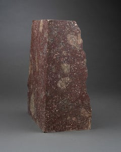
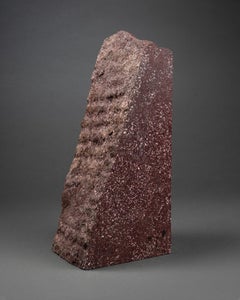
Rare Large Imperial Egyptian Red Porphyry specimen - partially polished

Rare Large Imperial Egyptian Red Porphyry specimen - partially polished

Located in Bruxelles, BE

The quarries, located in the stark isolation of the Eastern Egyptian Desert, were situated along caravan routes that connected the commercial hubs of the Nile Valley and Coptos with ...

Category

19th Century Italian Classical Roman Arabian Antique

Materials

Porphyry

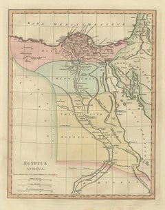
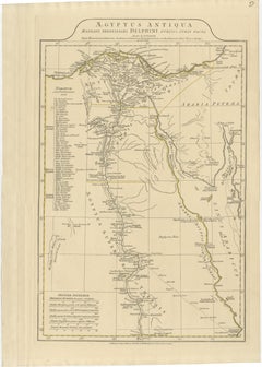
Aegyptus Antiqua — Ancient Egypt Classical Map of the Nile, Wilkinson 1823

Aegyptus Antiqua — Ancient Egypt Classical Map of the Nile, Wilkinson 1823

Located in Langweer, NL

The Mediterranean coastline, the Red Sea littoral, and adjacent Arabian territories provide broader geographic context, reinforcing Egypt’s role as a crossroads between Africa, Asia,...

Category

Early 19th Century British Arabian Antique

Materials

Paper

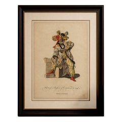
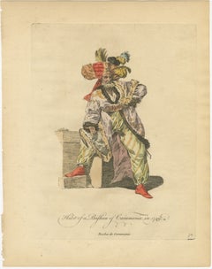
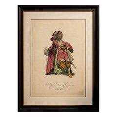
Antique Costume Print – Bashaw of Caramania, Ottoman Figure, 1749

Antique Costume Print – Bashaw of Caramania, Ottoman Figure, 1749

Located in Langweer, NL

Keyword block: Caramania, Karaman, Anatolia, Turkey, Ottoman Empire, Ottoman court, Levant, Middle East, Asia Minor, Persia, Arabia, Constantinople, Istanbul, Pasha, Bashaw, Ottoman ...

Category

Mid-18th Century British Arabian Antique

Materials

Paper

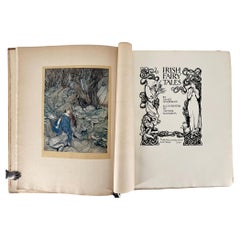
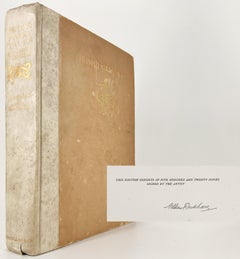
Irish Fairy Tales by J. Stephens, Illustrated by Arthur Rackham

Irish Fairy Tales by J. Stephens, Illustrated by Arthur Rackham

Located in Middletown, NY

New York: Arcade Publishing, 1990, p. 128] James Hamilton notes that "in writing the stories, Stephens had attempted to create an Irish equivalent of The Arabian Nights, his own poet...

Category

Early 20th Century English Arabian Antique

Materials

Gold Leaf

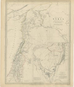
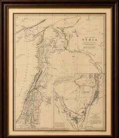
Ancient Syria Map Including Palestine, Jerusalem & Mount Sinai, 1843

Ancient Syria Map Including Palestine, Jerusalem & Mount Sinai, 1843

Located in Langweer, NL

This finely engraved map presents the geography of the ancient Levant, extending from Cappadocia and Antioch in the north through Phoenicia, Palestine, and Judea to the Sinai Peninsu...

Category

Early 20th Century British Arabian Antique

Materials

Paper

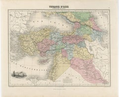
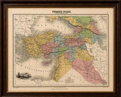
Turquie d’Asie et les Provinces du Caucase Map, Ottoman Empire 1873

Turquie d’Asie et les Provinces du Caucase Map, Ottoman Empire 1873

Located in Langweer, NL

The Mediterranean, Black Sea, and Persian frontier frame the map beautifully and reinforce its broad geographic scope connecting Europe, the Levant, Arabia, and Central Asia. This m...

Category

Mid-19th Century French Arabian Antique

Materials

Paper

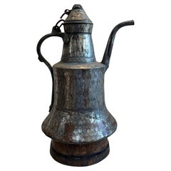
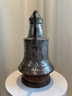
Antique Hand-Hammered Middle Eastern Dallah Coffee Pot

Antique Hand-Hammered Middle Eastern Dallah Coffee Pot

Located in West Hollywood, CA

This authentic antique Middle Eastern Dallah coffee pot is a beautifully preserved example of traditional Arabian metalwork, hand-hammered from copper and likely tin-lined for functi...

Category

Early 20th Century Asian Rustic Arabian Antique

Materials

Iron, Tin

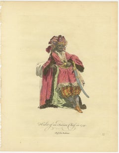
Antique Costume Print – Indian Chief, Exotic Dress & Arms, 1749

Antique Costume Print – Indian Chief, Exotic Dress & Arms, 1749

Located in Langweer, NL

Keyword block: India, East Indies, Levant, Hindustan, Mughal Empire, Deccan, Gujarat, Bengal, Malabar Coast, Coromandel Coast, Persia, Ottoman Empire, Arabia, Levantine, Indo-Persian...

Category

Mid-18th Century British Arabian Antique

Materials

Paper

Antique Persia Map, Iran Afghanistan & Central Asia, The Great Game Era, c.1850

Antique Persia Map, Iran Afghanistan & Central Asia, The Great Game Era, c.1850

Located in Langweer, NL

The composition spans from the Caucasus and the Caspian Sea in the north to the Persian Gulf and the Arabian Sea in the south, extending eastward into Afghanistan and the approaches ...

Category

Mid-19th Century British Arabian Antique

Materials

Paper

Pair Engraving of Equestrian Engravings After Works by John Wootton (1683-1764)

Pair Engraving of Equestrian Engravings After Works by John Wootton (1683-1764)

By John Wootton

Located in Pasadena, CA

This is a pair of engravings after paintings of seminal English racing bloodlines that date to the early 18th century. The Darley Arabian and The Byerley Turq were two of the three s...

Category

Early 18th Century English William and Mary Arabian Antique

Materials

Gold Leaf

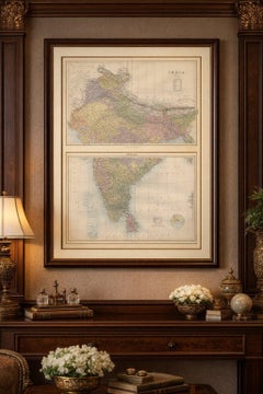
Antique Map Set of India, Two Sheets of Black’s General Atlas, Bartholomew 1884

Antique Map Set of India, Two Sheets of Black’s General Atlas, Bartholomew 1884

Located in Langweer, NL

The surrounding waters of the Arabian Sea, Bay of Bengal, and Indian Ocean are clearly marked, and the map also includes offshore island groups such as the Laccadive Islands and the ...

Category

Late 19th Century Scottish Arabian Antique

Materials

Paper

Holy Land Map Palestine Homann Heirs, Hand Colored, c.1744

Holy Land Map Palestine Homann Heirs, Hand Colored, c.1744

Located in Langweer, NL

The geographic scope reaches from the Mediterranean coast inland across the Jordan River and into Syria and Arabia, combining scriptural tradition with 18th-century geographical know...

Category

Mid-18th Century German Arabian Antique

Materials

Paper
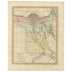
Antique Map of Ancient Egypt – Nile Valley & Red Sea, Engraving c.1818

Antique Map of Ancient Egypt – Nile Valley & Red Sea, Engraving c.1818

Located in Langweer, NL

Antique Map of Ancient Egypt – Nile Valley & Red Sea, Engraving c.1818 Elegant antique map depicting ancient Egypt, extending from the Nile Delta through Upper Egypt to Nubia, w...

Category

Early 19th Century British Arabian Antique

Materials

Paper
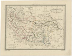
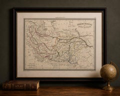
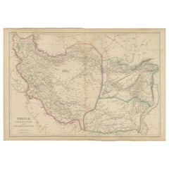
Persia, Afghanistan and Beloochistan, Antique Map of Iran Region, Blackie 1860

Persia, Afghanistan and Beloochistan, Antique Map of Iran Region, Blackie 1860

Located in Langweer, NL

The map covers Persia (modern-day Iran), Afghanistan, and Beloochistan (Balochistan), extending from the Caspian Sea in the north to the Persian Gulf and Arabian Sea in the south, an...

Category

Mid-19th Century British Arabian Antique

Materials

Paper
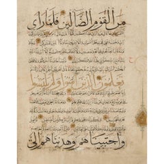
Antique North African Manuscript Leaf Maghribi Script 14th Century

Antique North African Manuscript Leaf Maghribi Script 14th Century

Located in London, GB

Manuscripts produced in southern Arabia under Rasulid patronage — particularly in centres such as Taiz — are celebrated for their elegant integration of muhaqqaq, thuluth, and naskh ...

Category

15th Century and Earlier Arabian Antique

Materials

Paper, Ink

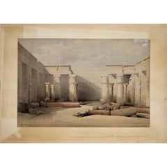
1847 lithograph by David Roberts depicting Medinet Abou at Thebes

1847 lithograph by David Roberts depicting Medinet Abou at Thebes

By David Roberts

Located in PARIS, FR

The print belongs to the monumental publication The Holy Land, Syria, Idumea, Arabia, Egypt, and Nubia, one of the most famous illustrated travel works of the nineteenth century.

Category

1840s Arabian Antique

Materials

Paper, Lithograph

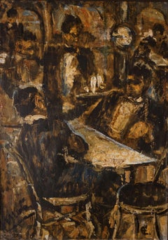
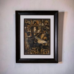
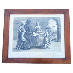
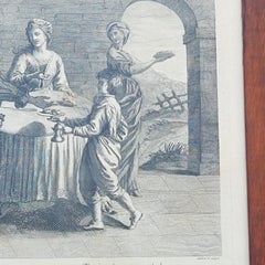
Interior Scene, Framed Engraving, 19th Century

Interior Scene, Framed Engraving, 19th Century

Located in MARSEILLE, FR

It bears the following description: "Il fumoso a smaltir cibo indigesto - non v'e piu acconcia e provvida bevanda, Ne v'e licor piu genial di questo- che dal ferace sen l'Arabia mand...

Category

19th Century Italian Louis XIII Arabian Antique

Materials

Paper
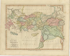
Classical World Map of Greece, Asia Minor & Levant, Wilkinson Atlas 1817

Classical World Map of Greece, Asia Minor & Levant, Wilkinson Atlas 1817

Located in Langweer, NL

The map presents a richly detailed view of the eastern Mediterranean and Near East, encompassing Greece, Macedonia, Thrace, Asia Minor (Anatolia), Cyprus, Crete, the Levant, Mesopota...

Category

Early 19th Century British Arabian Antique

Materials

Paper
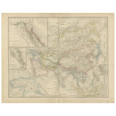
Asia Map with Middle East & India Insets – Nieuwe Hand-Atlas, Leiden 1876

Asia Map with Middle East & India Insets – Nieuwe Hand-Atlas, Leiden 1876

Located in Langweer, NL

One focuses on the Middle East and the Ottoman provinces around the Levant and Mesopotamia; another details the northwest Indian frontier; a third inset illustrates the region around...

Category

1870s Dutch Arabian Antique

Materials

Paper
Anight My Shallop, 20th Century Watercolour Illustration

Anight My Shallop, 20th Century Watercolour Illustration

By Norman Ault

Located in London, GB

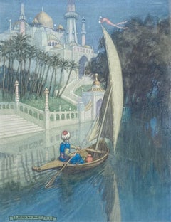
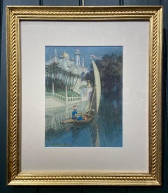
NORMAN AULT 1880 – 1950 ANIGHT MY SHALLOP Pencil & watercolour on paer, signed & dated 1913 lower left Image size: 10 ¼ x 7 ½ inches (26 x 19 cm) Hand made giltwood frame Th...

Category

1910s Arabian Antique

Materials

Watercolor, Pencil, Paper

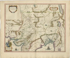
Imperial Mughal India Blaeu Map, Ganges Delta & Persia c.1642

Imperial Mughal India Blaeu Map, Ganges Delta & Persia c.1642

Located in Langweer, NL

Keywords: India, Mughal Empire, Mogol, Hindustan, Ganges, Indus, Bengal, Persia, Pakistan, Afghanistan, Delhi, Agra, Lahore, Patna, Gujarat, Deccan, Orissa, Bengal delta, Bay of Beng...

Category

Mid-17th Century Dutch Arabian Antique

Materials

Paper
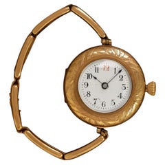
Jimmy & Rosalyn Carter Owned Watch with Family Engraving - Presidential Provenan

Jimmy & Rosalyn Carter Owned Watch with Family Engraving - Presidential Provenan

Located in Suwanee, GA

It also includes rare watches given by heads of state: A prototype 18K gold Buren Microrotor gifted by His Royal Majesty Ibn Saud, former King of Saudi Arabia; a Felsa given by forme...

Category

1910s American Arabian Antique

Materials

Gold-filled

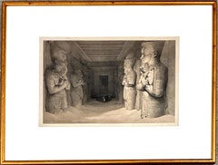
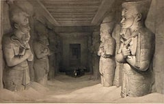
“Interior of the Temple of Abu Simbel, November 9th, 1836, Nubia”

“Interior of the Temple of Abu Simbel, November 9th, 1836, Nubia”

By David Roberts

Located in San Francisco, CA

This lithograph was part of the multi-volume series “The Holy Land, Syria, Idumea, Arabia, Egypt, & Nubia (1842–1849)” produced by publisher F.G.

Category

1840s English School Arabian Antique

Materials

Paper, Lithograph

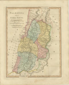
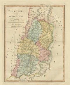
Holy Land Map — Palestina seu Terra Sancta, Biblical Geography, Wilkinson 1819

Holy Land Map — Palestina seu Terra Sancta, Biblical Geography, Wilkinson 1819

Located in Langweer, NL

The composition depicts the eastern Mediterranean coast from Phoenicia and Galilee southward through Judea and Idumea, extending eastward across the Jordan Valley toward Arabia. Regi...

Category

Early 19th Century British Arabian Antique

Materials

Paper
Nile River & Abyssinia Antique Map, Ethiopia–Sudan–Egypt, Lapie 1837

Nile River & Abyssinia Antique Map, Ethiopia–Sudan–Egypt, Lapie 1837

Located in Langweer, NL

Lapie, engraved by Pierre Antoine Tardieu, Paris, 1837 Keyword block: Abyssinia, Ethiopia, Nubia, Sudan, Egypt, Nile River, Blue Nile, White Nile, Khartoum, Cairo, Alexandria, Medit...

Category

Early 19th Century French Arabian Antique

Materials

Paper
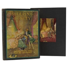
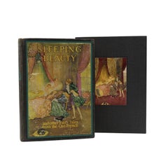
The Sleeping Beauty and Other Fairy Tales, Retold by Sir Arthur Quiller-Couch

The Sleeping Beauty and Other Fairy Tales, Retold by Sir Arthur Quiller-Couch

By Edmund Dulac

Located in Colorado Springs, CO

Dulac illustrated tales such as Stories from the Arabian Nights, Shakespeare’s The Tempest, and French fairy tales.

Category

Early 20th Century American Art Nouveau Arabian Antique

Materials

Fabric, Paper

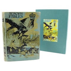
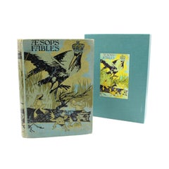
Aesop's Fables, Illustrated by Charles Folkard, 1916

Aesop's Fables, Illustrated by Charles Folkard, 1916

Located in Colorado Springs, CO

Black, including Grimm’s Fairy Tales (1911), Aesop’s Fables (1912), and The Arabian Nights (1913). Throughout the following decades he continued to illustrate numerous fairy tale and...

Category

1910s English Arabian Antique

Materials

Fabric, Paper

Pair of Art Nouveau chairs in walnut, engraved and carved

Pair of Art Nouveau chairs in walnut, engraved and carved

Located in Vigonza, Padua

Legata alle personalità più in vista del suo tempo, da Churcill alla Regina Madre, dai Marescialli Montgomery, Allemby, Kitchener ed altri, al mitico Lawrence d’Arabia, Freya Stark s...

Category

1910s Art Nouveau Arabian Antique

Materials

Walnut

Antique Biblical Map of the Holy Land – Janssonius Abraham Isaac Jacob, c. 1650

Antique Biblical Map of the Holy Land – Janssonius Abraham Isaac Jacob, c. 1650

Located in Langweer, NL

Issued by the renowned Amsterdam mapmaker Joannes Janssonius, the map presents a richly imagined vision of the Promised Land, extending from Egypt and the Mediterranean coast through...

Category

Mid-17th Century Dutch Arabian Antique

Materials

Paper
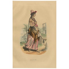
Jeune Fille Arabe in Traditional Attire from Wahlen's 1844 Lithographs

Jeune Fille Arabe in Traditional Attire from Wahlen's 1844 Lithographs

Located in Langweer, NL

The juxtaposition of traditional Arabian dress with the tropical setting creates a visually engaging and culturally rich composition.

Category

1840s Arabian Antique

Materials

Paper
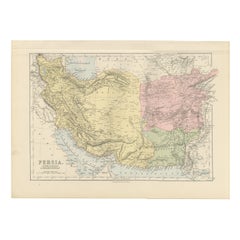
Antique Map of Persia, Afghanistan and Beloochistan – Black’s Atlas, 1884

Antique Map of Persia, Afghanistan and Beloochistan – Black’s Atlas, 1884

Located in Langweer, NL

The map covers Persia (modern Iran) in its full extent, bordered by the Caspian Sea to the north and the Persian Gulf and Arabian Sea to the south. To the east, Afghanistan and Beloo...

Category

1880s Scottish Arabian Antique

Materials

Paper
Antique Map of Biblical Palestine – Holy Land & Jerusalem Insets, c.1818

Antique Map of Biblical Palestine – Holy Land & Jerusalem Insets, c.1818

Located in Langweer, NL

Antique Map of Biblical Palestine – Holy Land & Jerusalem Insets, c.1818 Elegant antique map depicting Palestine as understood in classical and biblical antiquity, extending fr...

Category

Early 19th Century British Arabian Antique

Materials

Paper
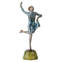
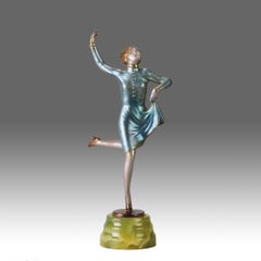
Early 20th Century Cold-Painted Bronze entitled "Running Girl" by Josef Lorenzl

Early 20th Century Cold-Painted Bronze entitled "Running Girl" by Josef Lorenzl

By Josef Lorenzl

Located in London, GB

Other dancing Deco Lady girl figurines which were created by Lorenzl include “Butterfly Wings,” “Spider-Web Dress” and “The Arabian Dancer.” Not only did all his creations represent ...
Category

Early 20th Century Austrian Art Deco Arabian Antique

Materials

Onyx, Bronze

  • 1
Get Updated with New Arrivals
Save "Arabian Antique", and we’ll notify you when there are new listings in this category.

Arabian Antique For Sale on 1stDibs
Choose from an assortment of styles, material and more with respect to the arabian antique you’re looking for at 1stDibs. A arabian antique — often made from paper, metal and bronze — can elevate any home. There are many kinds of the arabian antique you’re looking for, from those produced as long ago as the 18th Century to those made as recently as the 20th Century. A arabian antique is a generally popular piece of furniture, but those created in Art Nouveau, Art Deco and Scandinavian Modern styles are sought with frequency. A well-made arabian antique has long been a part of the offerings for many furniture designers and manufacturers, but those produced by Arabia, Franz Bergmann and Thure Öberg are consistently popular.
How Much is an Arabian Antique?

Prices for a arabian antique start at $79 and top out at $197,072 with the average selling for $950.