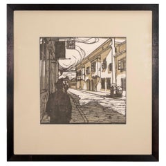
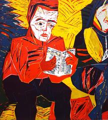
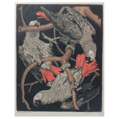
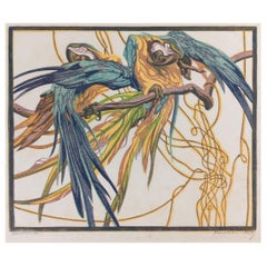
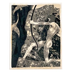
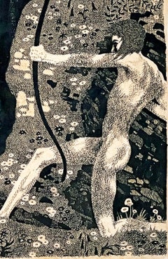
You are likely to find exactly the austrian woodcut you’re looking for on 1stDibs, as there is a broad range for sale. There are many
contemporary,
modern and
Art Deco versions of these works for sale. You’re likely to find the perfect austrian woodcut among the distinctive items we have available, which includes versions made as long ago as the 18th Century as well as those made as recently as the 21st Century. Adding a austrian woodcut to a room that is mostly decorated in warm neutral tones can yield a welcome change — find a piece on 1stDibs that incorporates elements of
black,
gray,
beige,
red and more. Creating a austrian woodcut has been a part of the legacy of many artists, but those crafted by
Barbara Kuebel,
Michel Fingesten,
Arieh Allweil,
Odetto Guersoni and
Friedensreich Hundertwasser are consistently popular. Artworks like these of any era or style can make for thoughtful decor in any space, but a selection from our variety of those made in
woodcut print,
paper and
paint can add an especially memorable touch.
The price for an artwork of this kind can differ depending upon size, time period and other attributes — a austrian woodcut in our inventory may begin at $208 and can go as high as $21,884, while the average can fetch as much as $985.